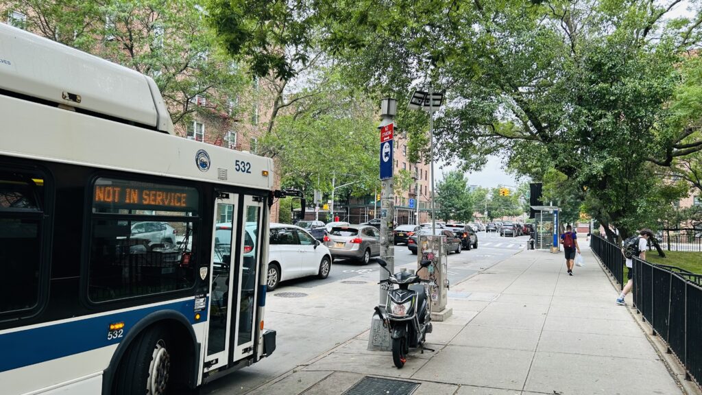
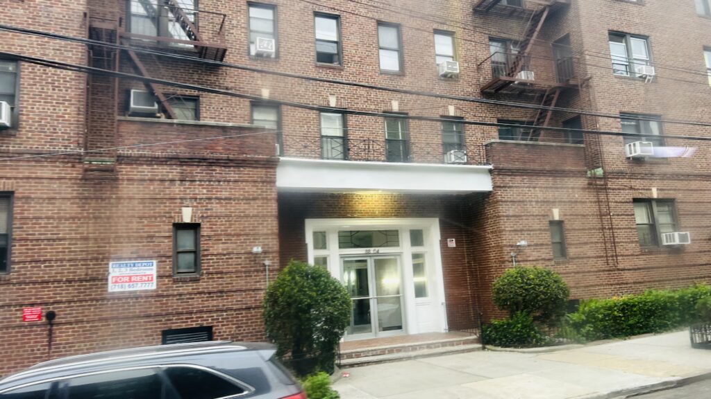
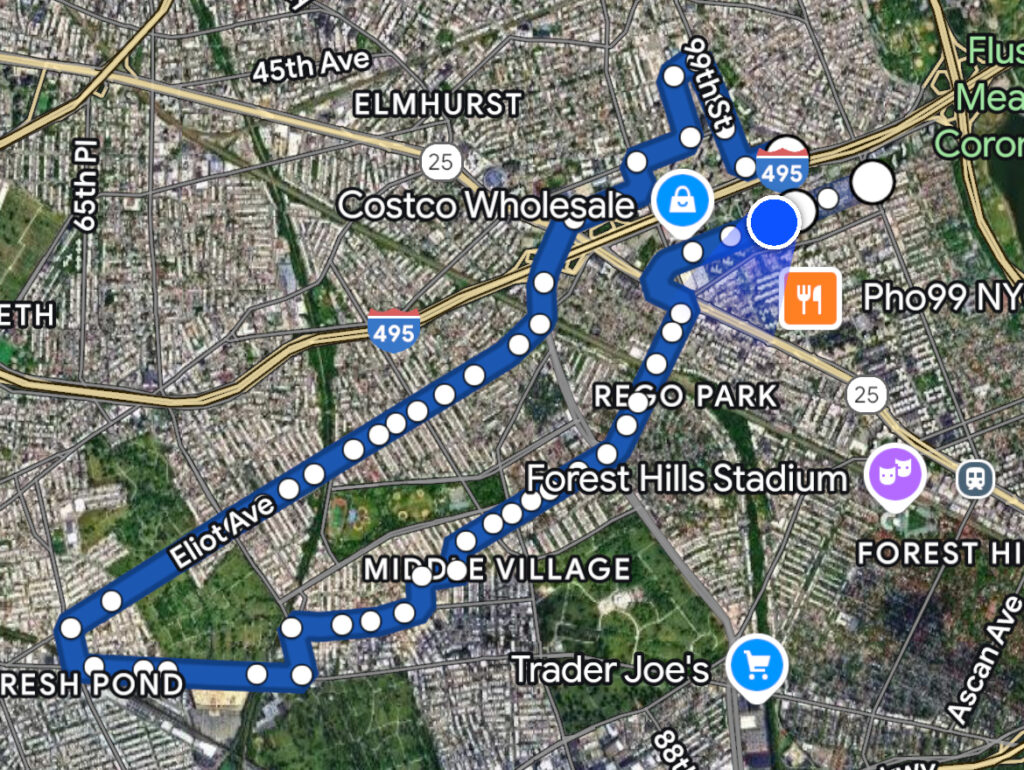
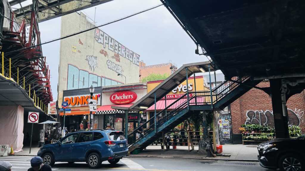
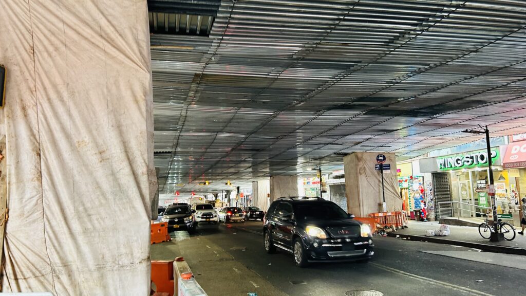
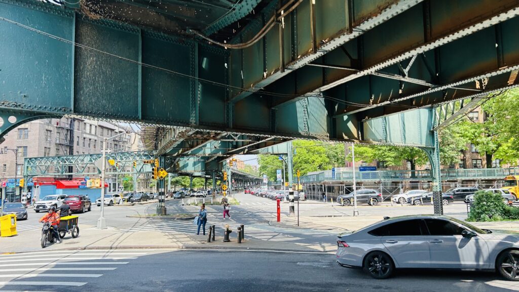
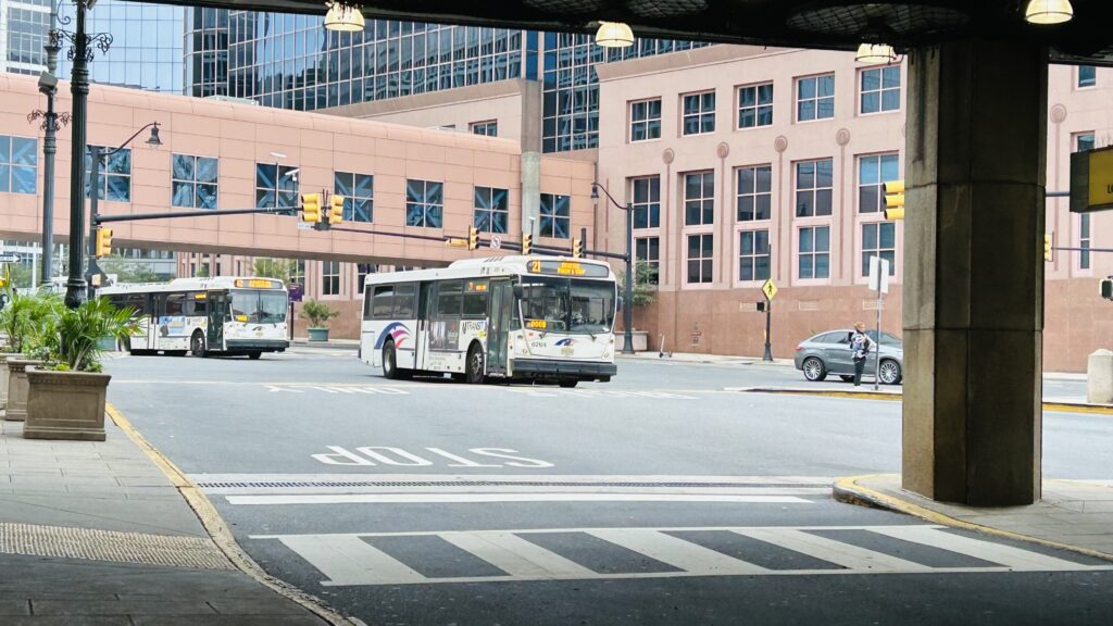
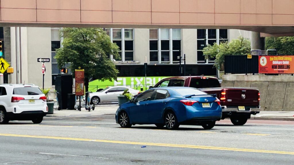
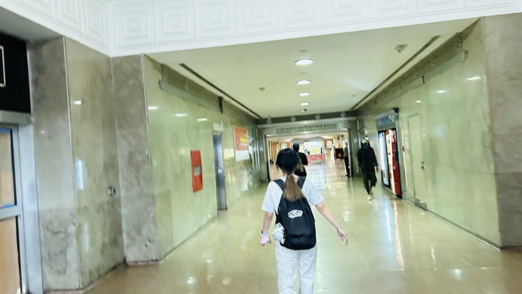
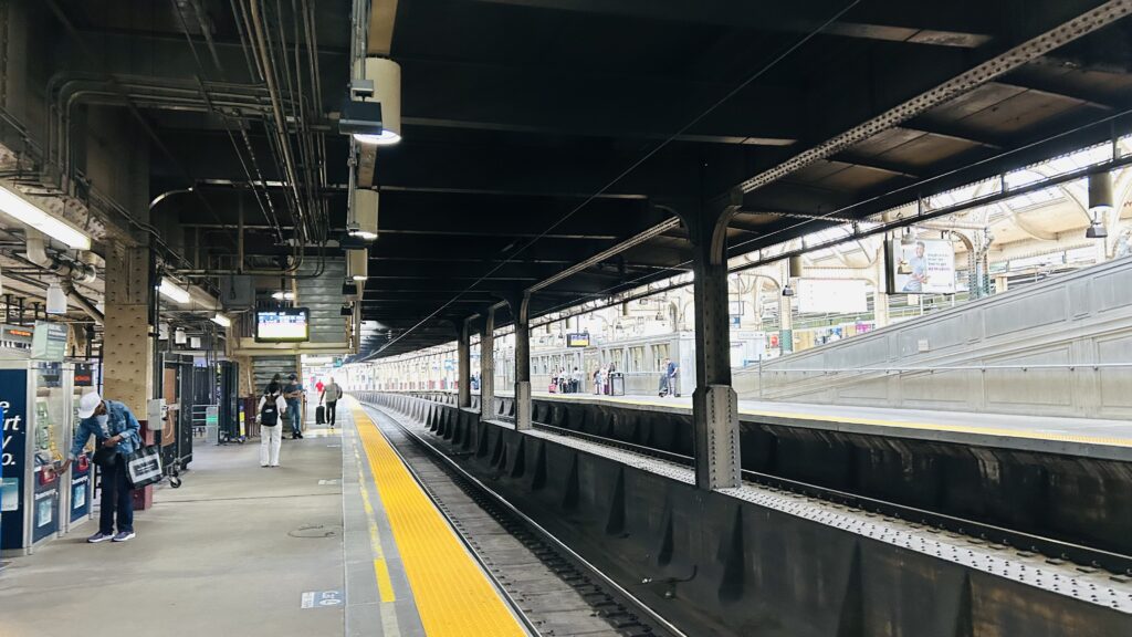
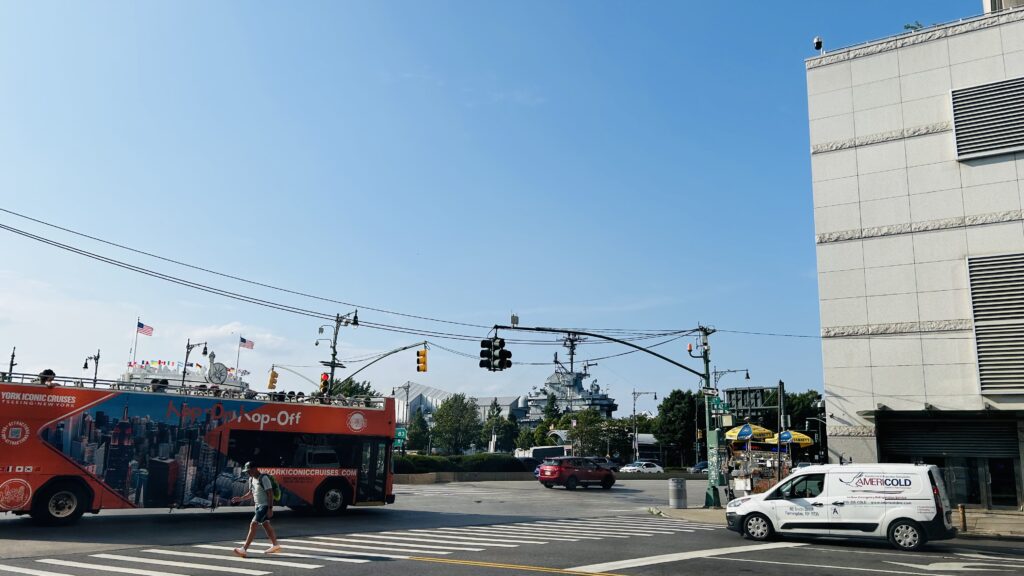
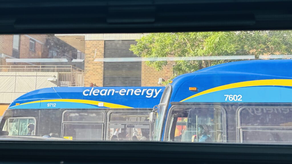
The Q38 is an anomaly of a bus, and quite possibly one of the few that was saved by being severed in two during the bus network redesign changes. For those who don’t know, the Q38 used to form a U shape that took 50 minutes to, essentially, go half a mile. The deviation index? 24.34. YEP. However, for the purposes of this blog, I’m only really going to count the new Q38’s routing towards the scoring (that has been unchanged aside from being severed into this and the Q14 near Middle Village station). With this, welcome to the former most deviatory bus in NYC.
Bus stop!The beginning of the madness
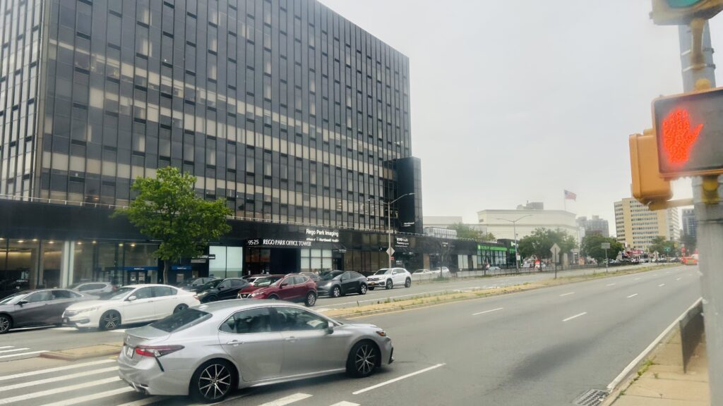
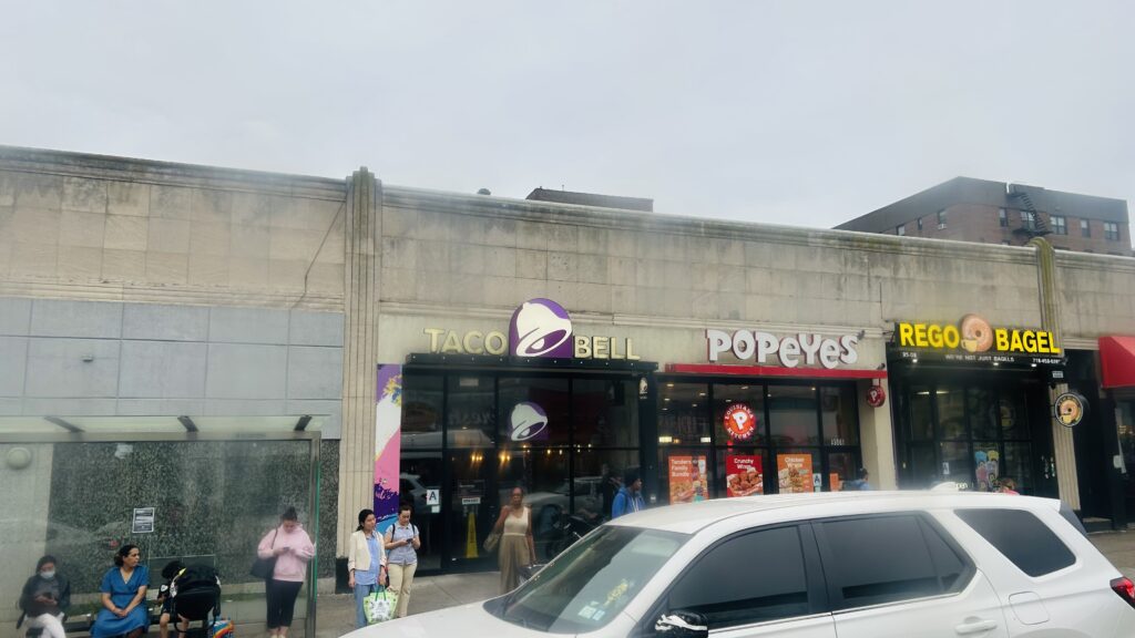
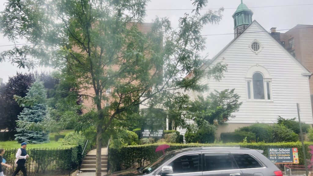
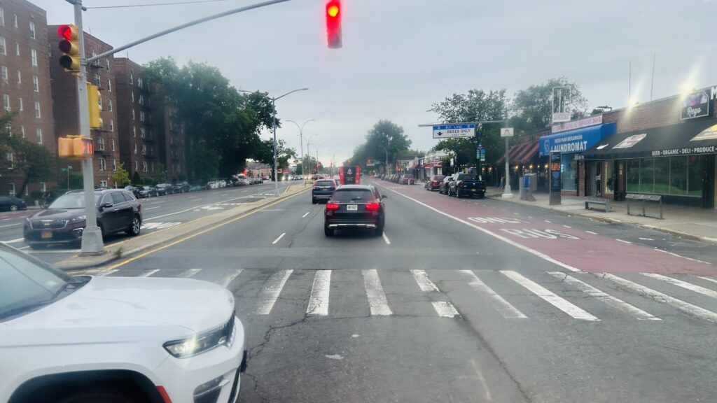
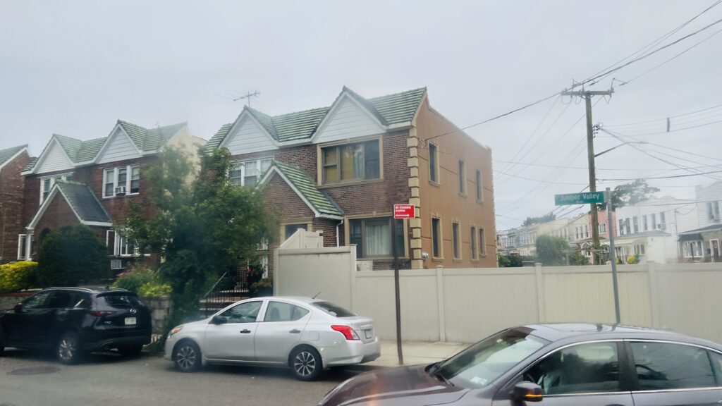
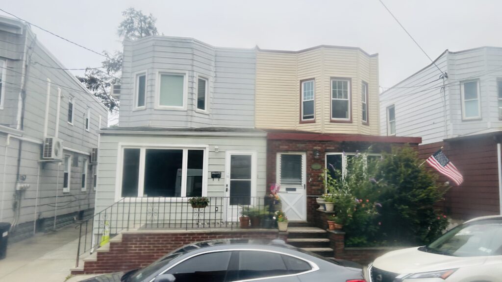
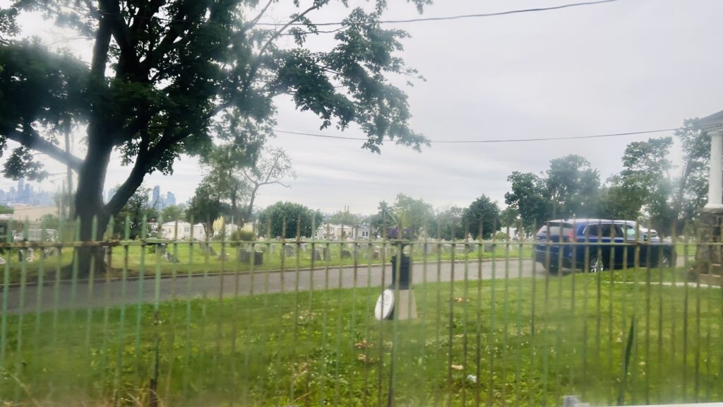
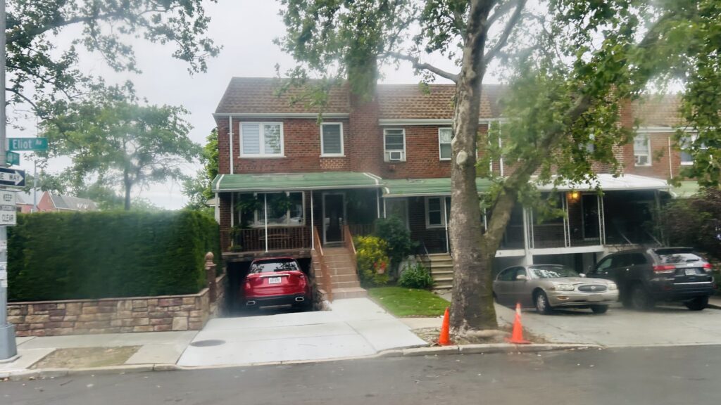
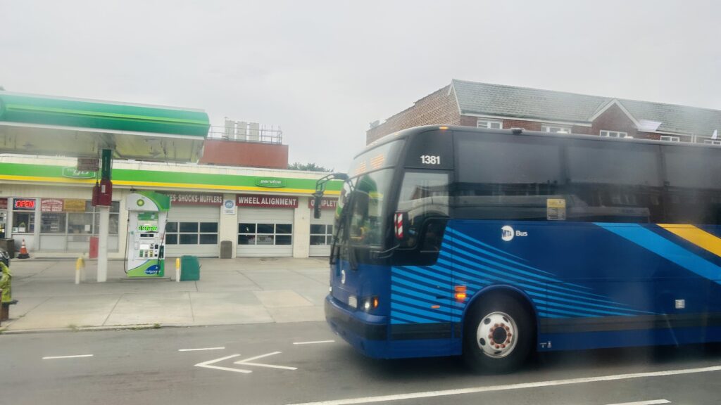
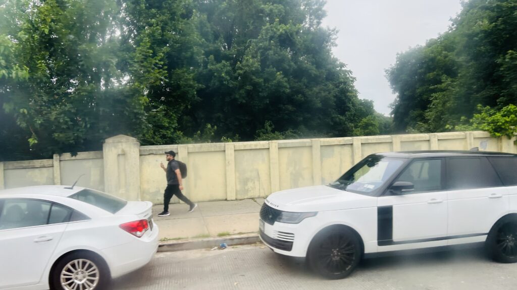
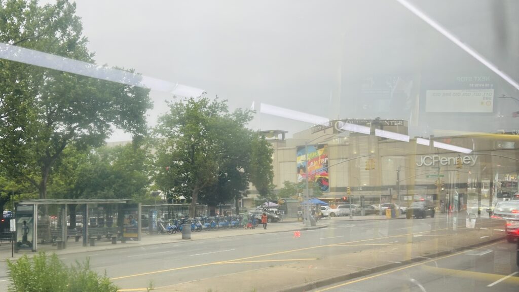
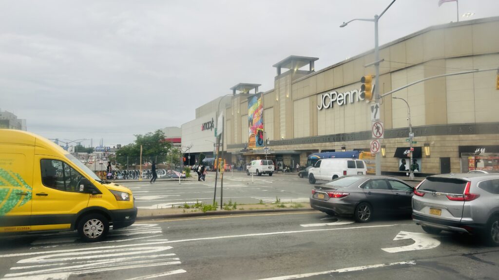
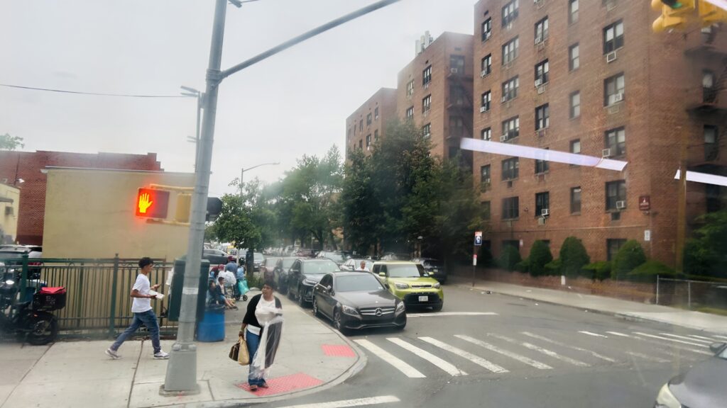
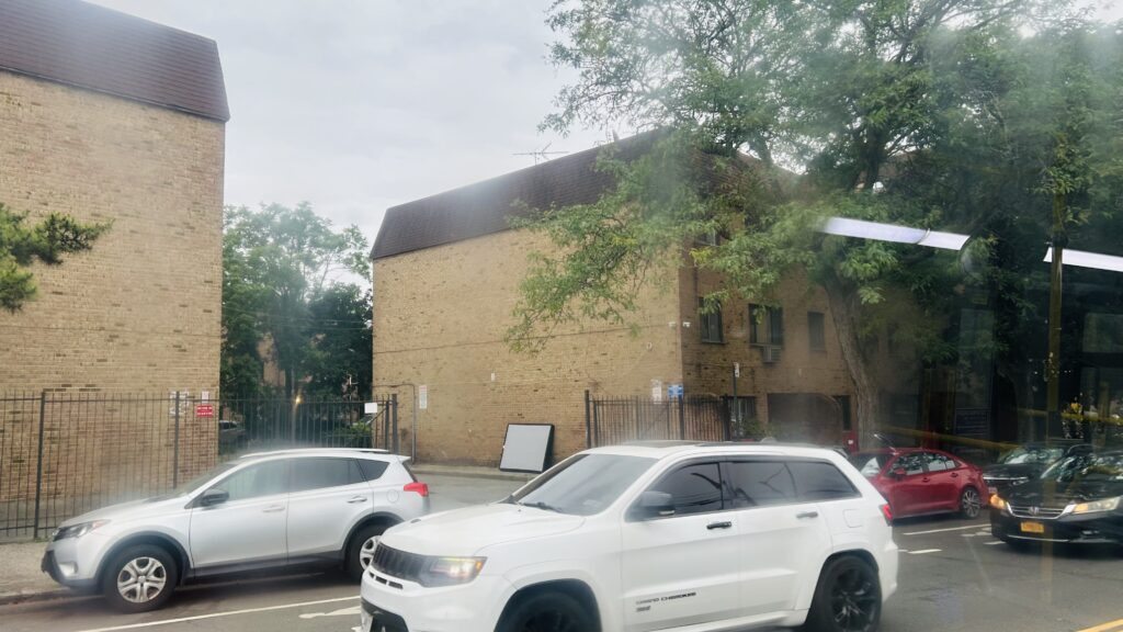
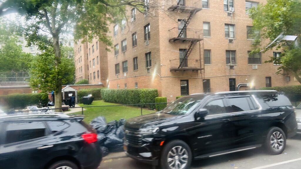
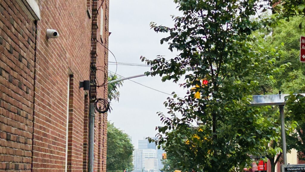
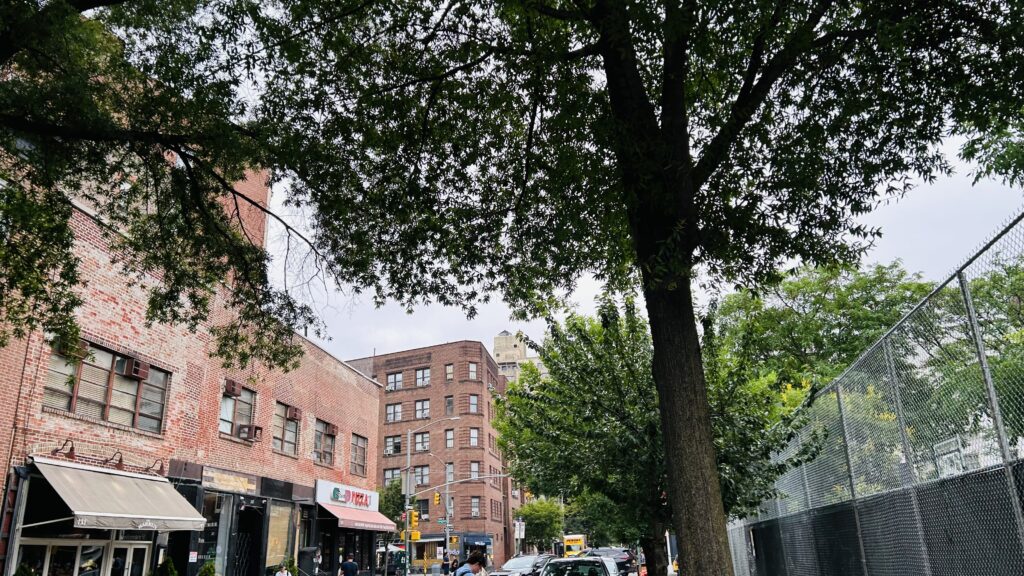
The Q38 in its current form didn’t change much from when I rode it, up to Metropolitan & Eliot Avenues. With that said, the route is a straight shot down 62nd Drive, a turn down Queens Boulevard with a connection to the M/R lines, and then things get SLOW. The route weaves through the streets of Middle Village, going down Penelope Avenue, Woodhaven Boulevard (briefly), Juniper Valley Road, and eventually Metropolitan Avenue, ending at Metropolitan & Eliot. In terms of scenery, it’s mostly residential, although you do have various shops near Queens and Woodhaven Boulevards. Certainly, it could be a bigger stinker as far as land use goes.
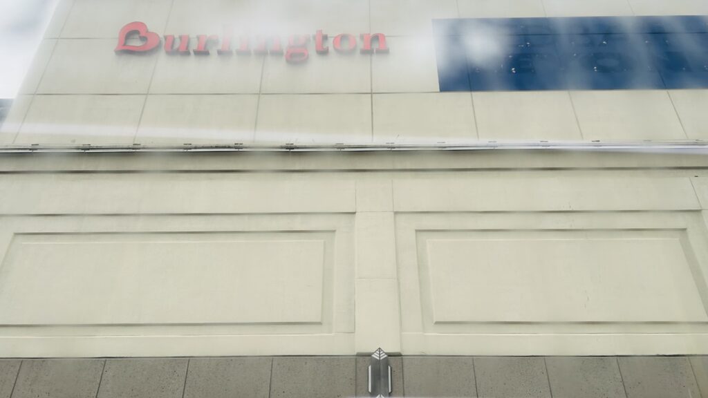
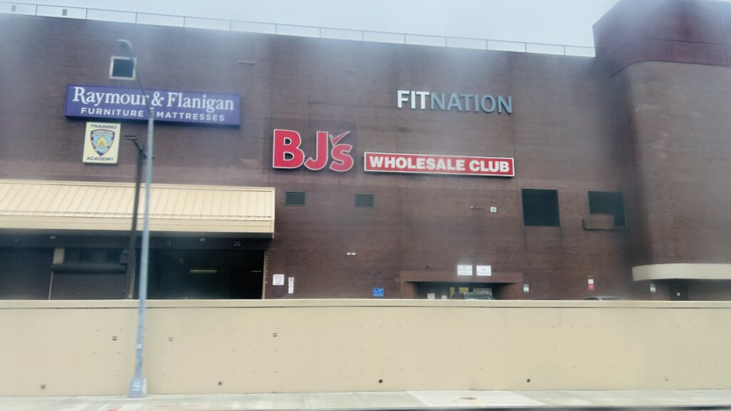
Residential!Section 8?Burlington!The rather wide Queens BoulevardTaco Bell!A churchMore density!Woodhaven Boulevard!HOUSING STOCK!!!More housing, less densityEven more. Oh my.Now we’re doing row housing?There’s this.The M!BJ’s!
In terms of the section axed, it’s a return back up to Corona via a straight shot up Eliot Avenue and Woodhaven Boulevard, serving the M/R again, going into the Queens Center Mall, and then turning towards the Horace Harding Expressway (I-495), terminating around there.
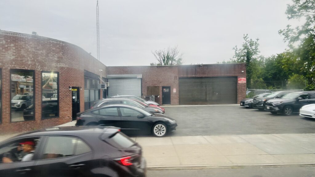
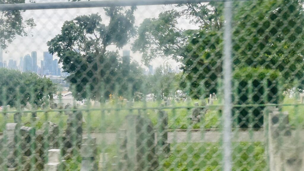
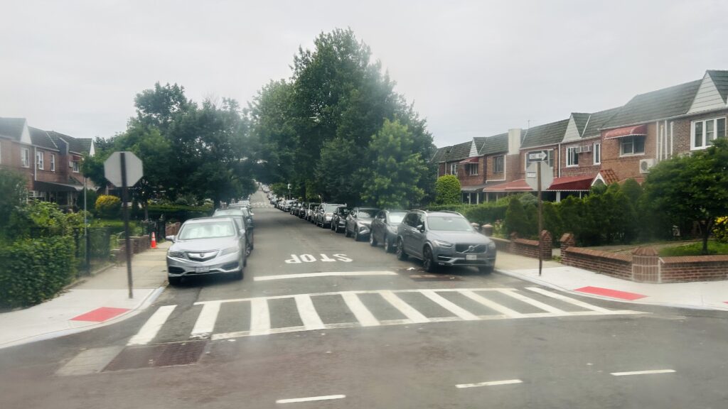
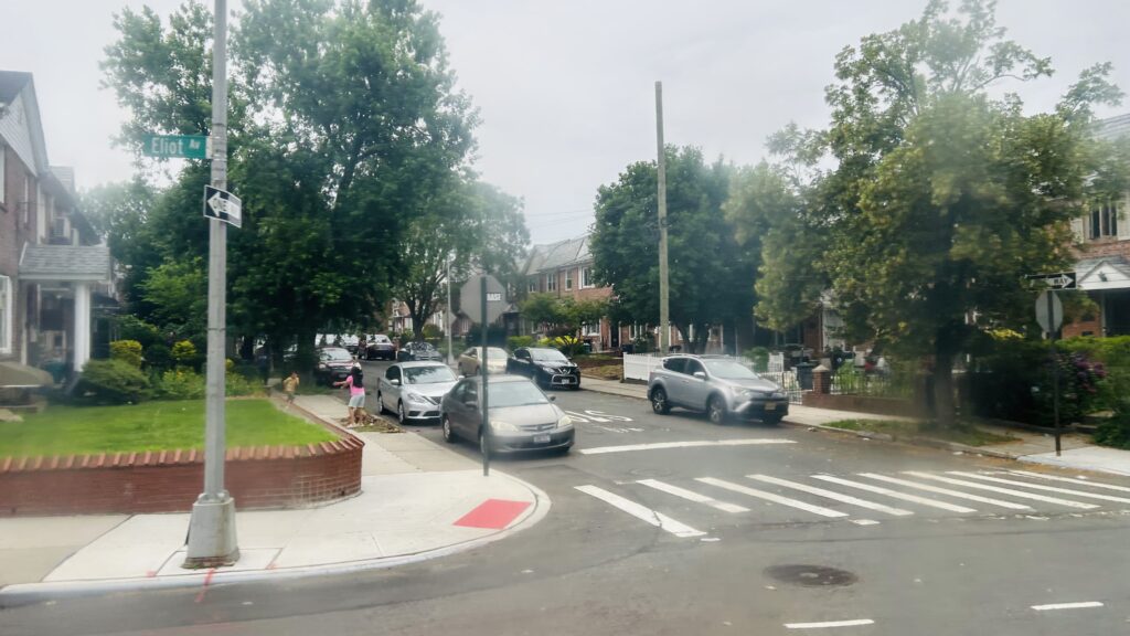
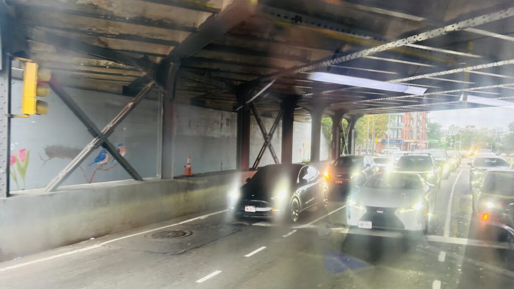
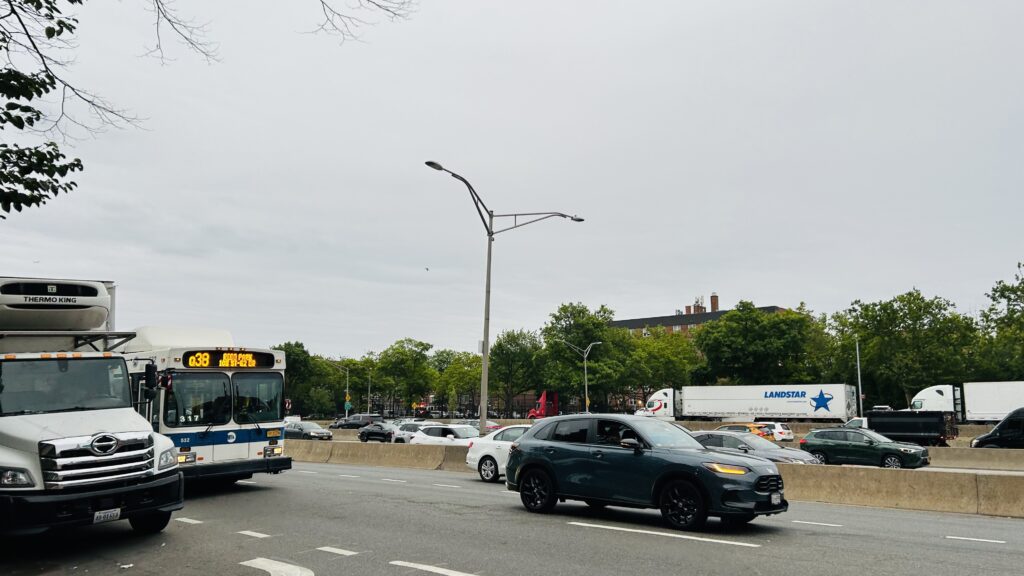
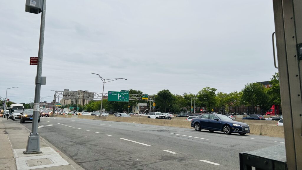
Something.I believe this was the Lower Montauk lineSuburbia!A graveyardOoh, you can see (what I think is) the LIC skyline!Back to this stuff againAnother busI think this one is the Bay Ridge line (eventually to be the Interborough Express!)Street parking galoreThis reeks of suburbiaUnder the LIRR mainlineThe Queens Center Mall, my malignedQueens Boulevard!HousingMore stuffEven more housing stockAND EVEN MORE!!!I did it…I BLOODY SURVIVED THE QUEENS ROUTE 38.
The good: It’s (now) a mostly normal straight line between Rego Park and Middle Village! It serves the local neighborhood and at a rather frequent 10-20 minute headway. It also connects the M on both ends, so it conceivably could be faster than taking the M in a giant circle.
The bad: I think the biggest stinker for this route comes down to Queens traffic patterns. Which, isn’t the worst, but can still be unbearable at times. It also doesn’t run overnight to connect the M shuttle to the E/F more directly.
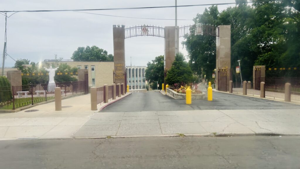
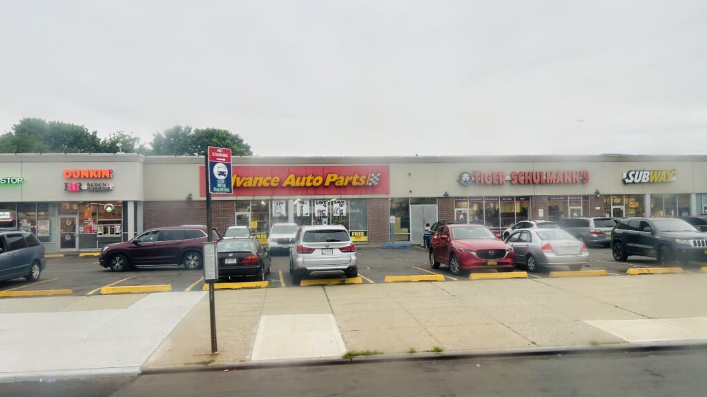
Nearby points of interest: I think the Best Buy, Burlington, and Queens Center Mall are the biggest ones. There’s also a park, graveyard, and a Costco.
Overall, it’s a funny route (historically), and it does well to connect the two segments of the M.
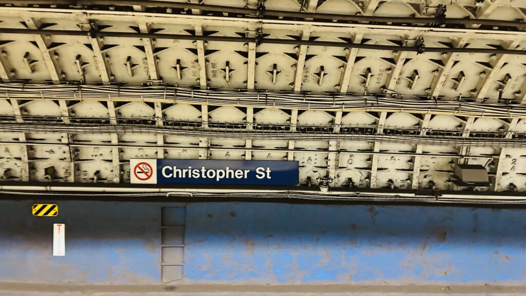
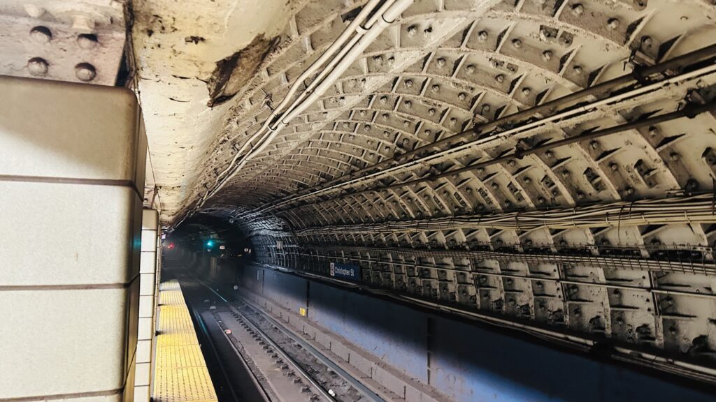
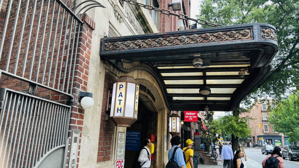
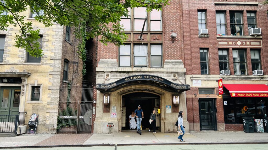
Wait, didn’t I already cover this? Well, yes, but also no. Meet: PATH’s Christopher Street.
PATH signage
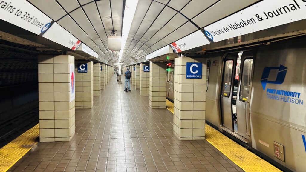
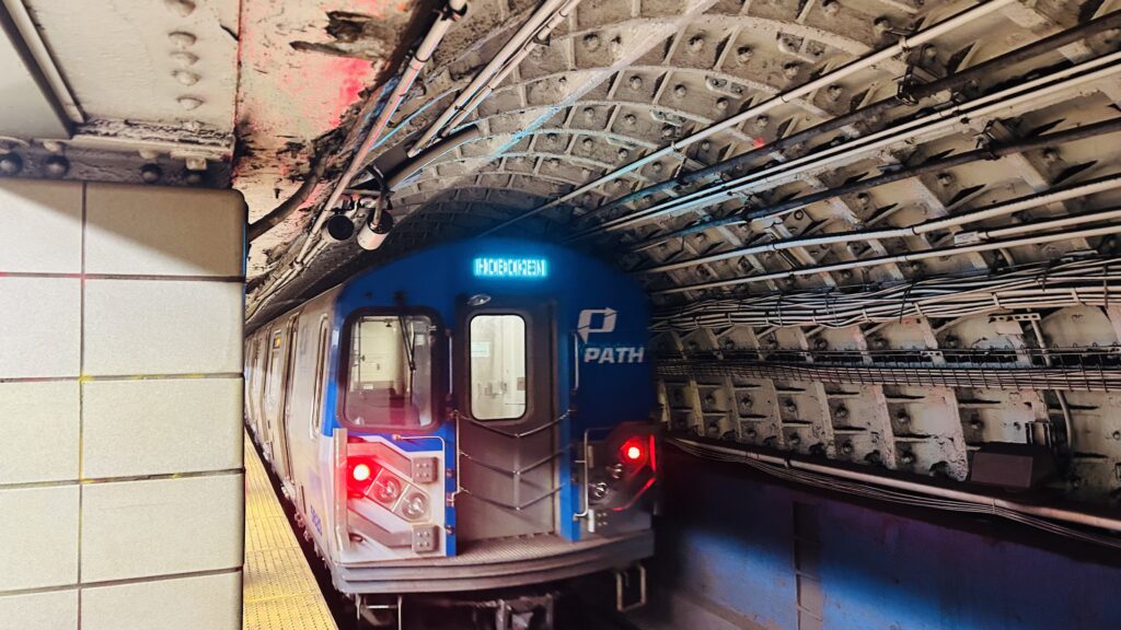
The station is served by trains to Journal Square and Hoboken, coming from Herald Square. There is a singular island platform, with benches, stairs, and whatnot. There’s also turnstiles and a staircase up to street level. As for the headhouse, it’s pretty unassuming, much like 9th Street (the next station up). However, also much like 9th Street, it’s not accessible. If you need accessibility, your best bet would be to take the M8 to the BDFM and change at Herald Square instead. Yeah, sorry, but PATH in Midtown isn’t known for accessibility.
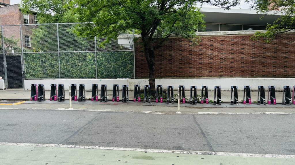
Platform shotFUCK YOU, PORT AUTHORITY! I’LL PHOTOGRAPH AS I DAMN WELL PLEASE!Tunnel shotBikeshare!PATHThe headhouseI forgot what this wasAnother street level photo
The good: It exists. It also serves the West Village and gives a direct connection to Jersey City and Hoboken.
The bad: It’s inaccessible. There’s buses but it’s out of the way to get to an accessible station. The platforms are narrow as hell. NIMBYism even led to an entrance rebuild being cancelled. Bloody NIMBYs…
Nearby points of interest: You have a pier, a relatively quiet part of Greenwich Village (but remember, this is Greenwich Village, so quiet by that standard still isn’t really quiet – especially during Pride month), and while further than the 1’s stop, the Stonewall inn.
Transit connections: PATH (JSQ-33rd St., Hoboken-33rd St./Yellow, Blue) MTA bus (M8, M20)
Overall, this station is really old and actually kinda sucks. Especially for accessibility.
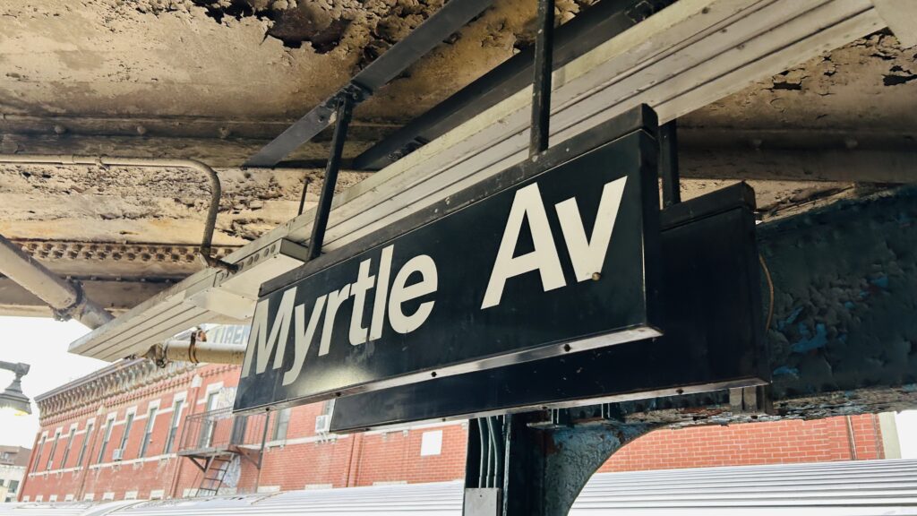
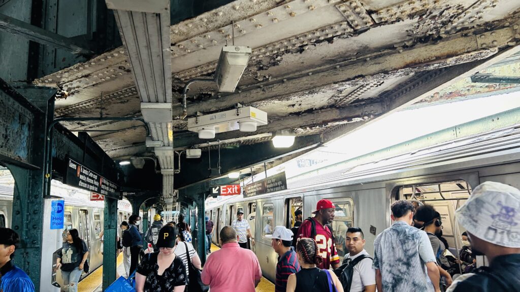
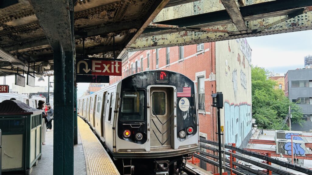
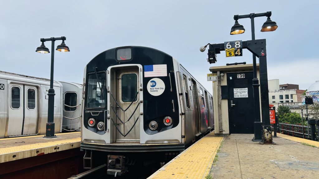
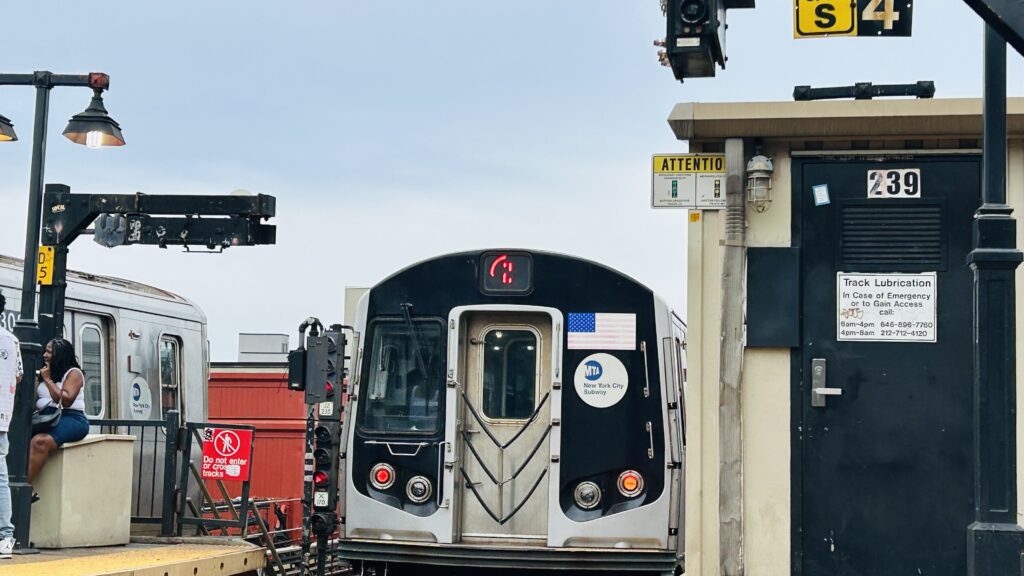
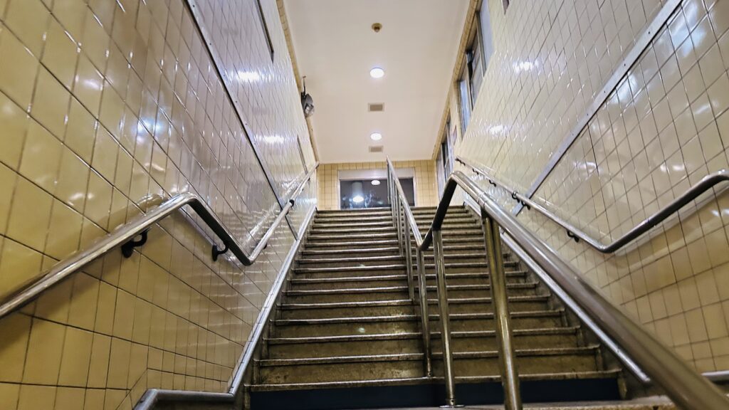
Myrtle/Broadway is an express station shared by the J and M lines, but since I took the Z to get here, I kinda need to acknowledge the fact that the Z is real. It’s also not an accessible station, and has relics of the subway system’s past.
Signage!
First off, the history. The station was originally a 2-level stop, with the upper level running between Metropolitan Avenue and the Brooklyn Bridge. However, since service across the Brooklyn Bridge was killed in the ’40s, service to what’s now Jay St.-MetroTech via the Myrtle Avenue elevated was on life support and eventually was killed south of Broadway in 1969. The elevated still exists, albeit with a flat junction, towards Middle Village as today’s M line. Also, presently, the B54 bus largely replaced service down Myrtle Avenue’s elevated viaduct.
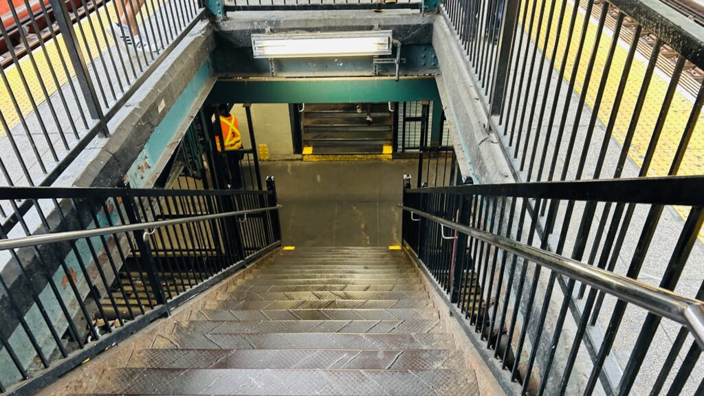
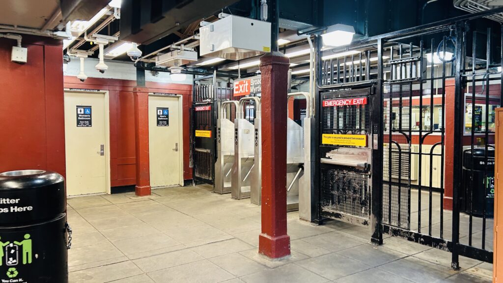
As for the station itself, it’s not an accessible station. However, platforms have countdown clocks, benches, wastebaskets, the usual affair. There’s restrooms in the station mezzanine (they are probably traumatizingly bad), a station agent, an OMNY machine, among other standard affairs. Street level has the aforementioned connection to the B54 bus along with the B46 and B47 towards the Williamsburg Bridge and a hospital nearby. The station was also the site of a rather viral photo.
Not my photo, but this image did go viral!This one is mine. I did not, however, find God.It can get quite crowded at rush hourM(entioned!)The head of the beastNew tech!Z IS REAL 2025Mezzanine stairsFare control, station staff, and the shitters!Dingy!
The good: It went viral. Also, it’s a transfer station between the J and M.
The bad: Mostly the accessibility. Also, I presume it’s a tad sketchy at night.
Nearby points of interest: THE HOLY LAND. In all seriousness though, there’s a couple of bars, a church, and section 8 housing.
Transit connections: 6th Ave. (M) Nassau St. (J) MTA bus (B46, B47, B54)
Overall, it’s not miserable as far as inaccessible stations go. However, I do presume it can get rather sketchy, and it did feel somewhat sketch while I was here. But, given this is NYC, there are much worse places.
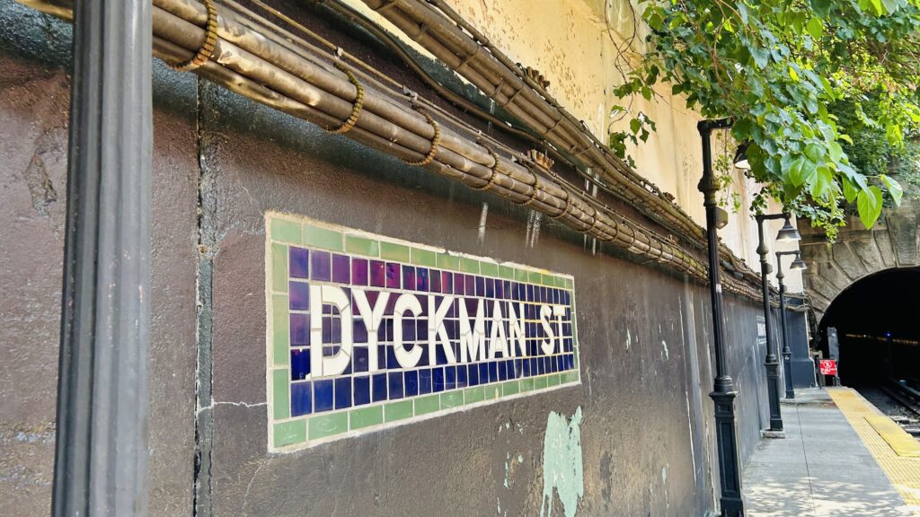
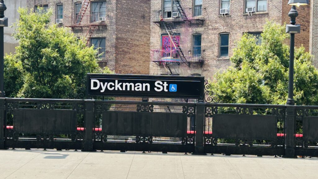
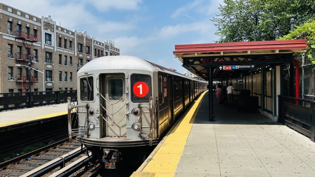
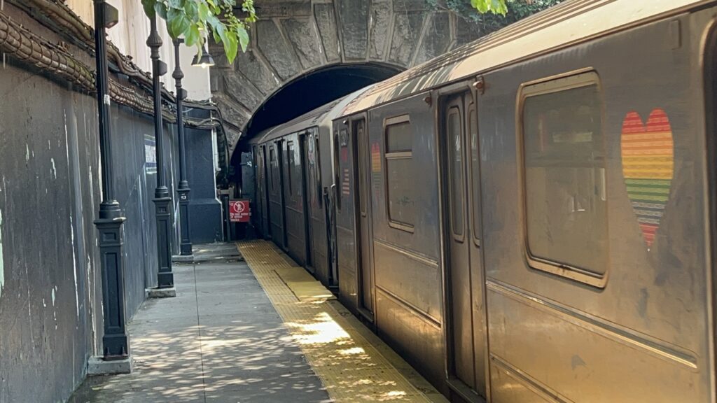
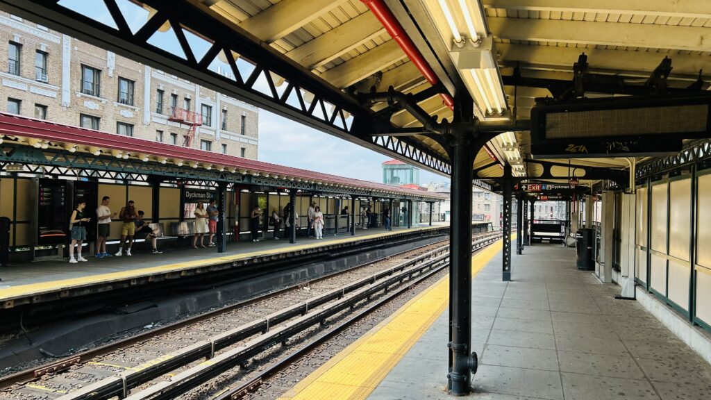
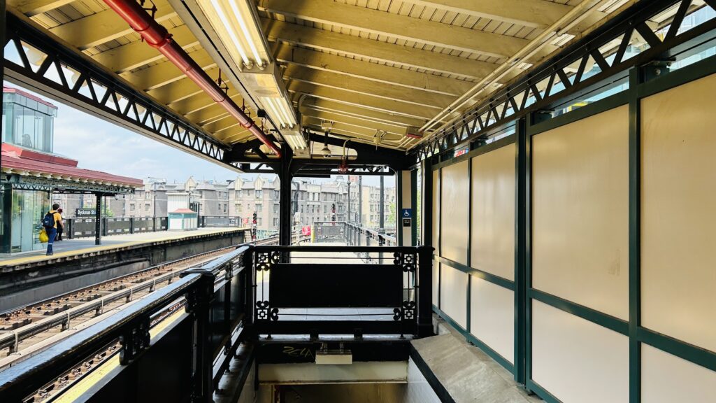
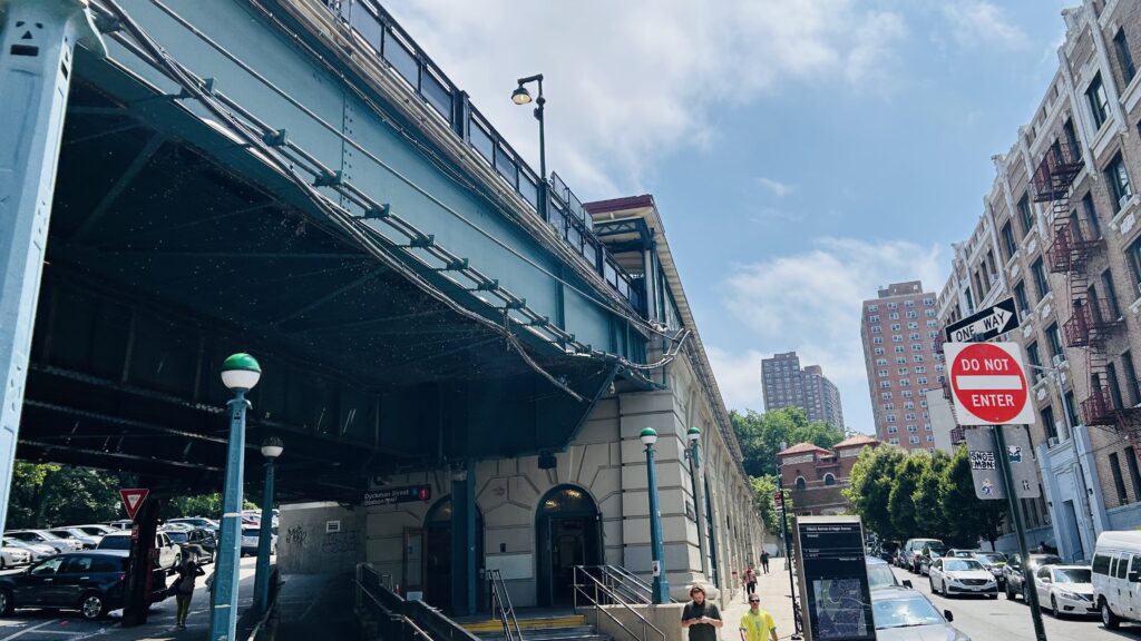
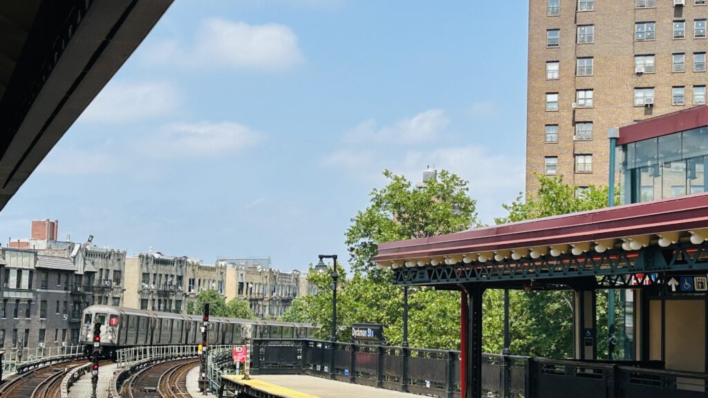
Dyckman Street is a station in the upper reaches of Manhattan located at a weird-looking intersection where Nagle Ave. converges with the namesake Dyckman Street, alongside Hillside Avenue and a road going up Fort George Hill. It’s also a local stop on the #1 line (not to be confused with the A line stop of the same name). It’s also the first non-underground stop past 125th, located at the mouth of the tunnel.
Tiling!More standard signage
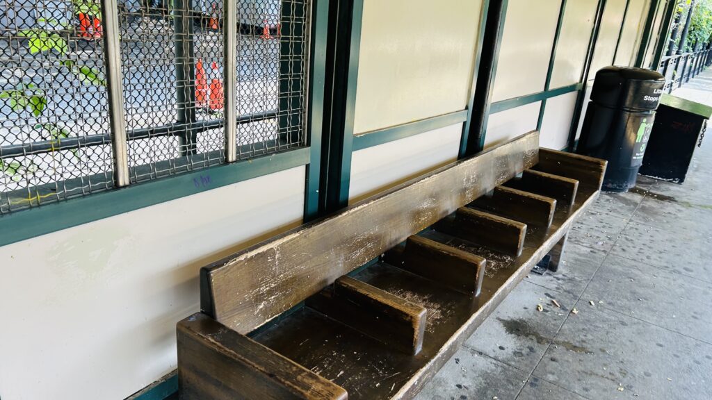
It’s an accessible station, which means there’s elevators down to the street-level headhouse. The platforms have your standard A division amenities (countdown clocks, benches, wastebaskets, lighting), and the station house is pretty standard with a station agent, a NYPD presence, faregates, OMNY machines (I think I saw a MetroCard machine too?), and nothing else to note other than the Pride decorations. Neat. The station’s primary bus connection is to the M100, which runs between 125th and 220th St.’s, via Amsterdam Ave., Broadway, and Dyckman Street. There isn’t too much to remark specifically about this station. However, PLEASE BE CAREFEUL with saying the name – because if you forget to say part of the name, that’s how you get either another term for a sea wall (dike). Either way, it’s not a bad station. Yippee!
Bye!!!HELP!!!The tunnelAnother trainCAHSGAY TRAIN! GAY TRAIN! GAY TRAIN!Decently well-used!Hostility!Stairs?A decently long walk downStation agent boothPrideful!EVEN THE F*CKING ELEVATOR IS GAY!Street-level shotThe station from beneathCurvy!
The good: Other than the fact it’s well-used, it’s at the base of Fort George Hill. It’s also accessible. The station is also pretty close to Fort Tyron Park, however the A line station is considerably closer, and 190th St. (also on the A) gets you into the park directly. There’s also buses with the M100. Furthermore, if you’re a railfan, the shots from the tunnel portal and the curve are both pretty cool.
The bad: I guess the only real issue is the fact that the area is a topographical nightmare – but that’s no fault of the station itself. I just don’t have much of anything negative to say about the station, especially given it’s accessible.
Nearby points of interest: Fort Tyron, if you want to hike a little. There’s also green spaces considerably closer, on Fort George Hill.
Transit connections: 7th Ave. Lines (1) MTA bus (M100)
Overall, it’s a pretty good station, and it’s also easily one of the more charming stops (I think) on the system. Not bad!
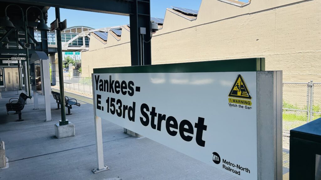
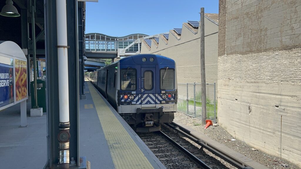
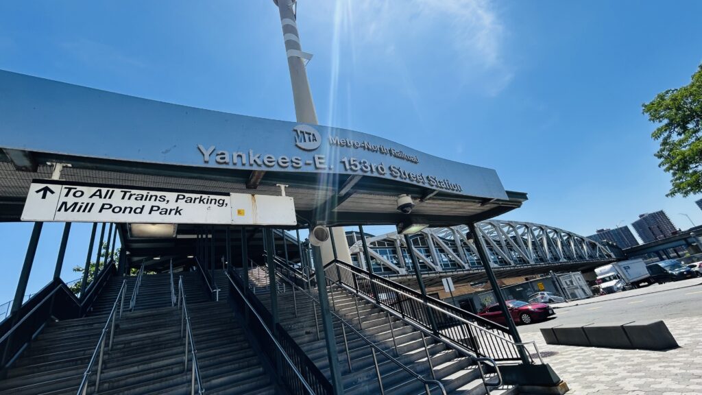
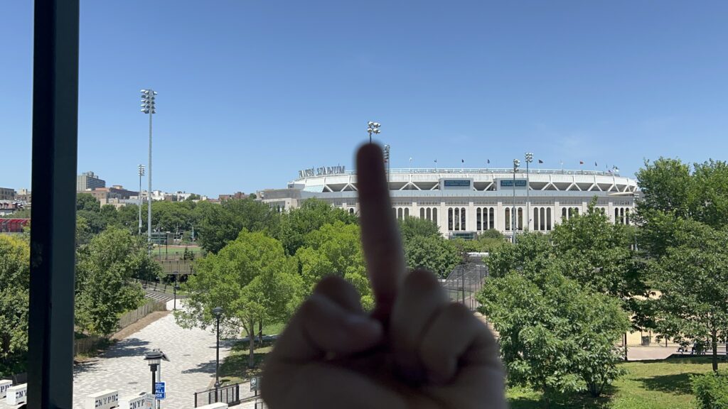
The New York Yankees are the Republican Party of baseball in the northeastern US. That’s to say, they are absolutely vile and evil. At least they didn’t get a mainline rail station until 2009 when the present Yankee Stadium opened???
I think I’m gonna puke.
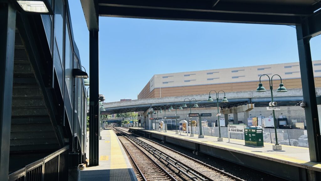
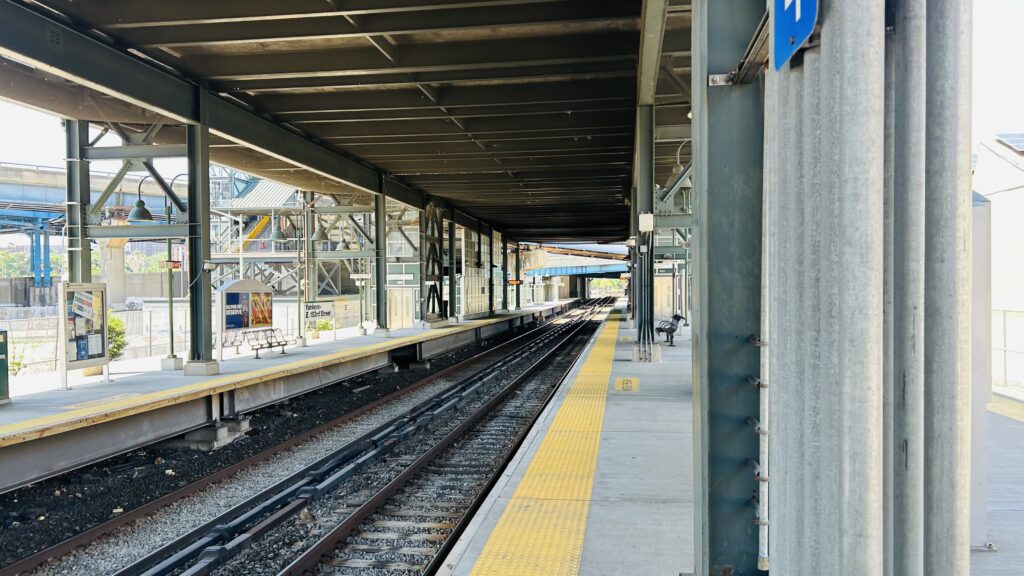
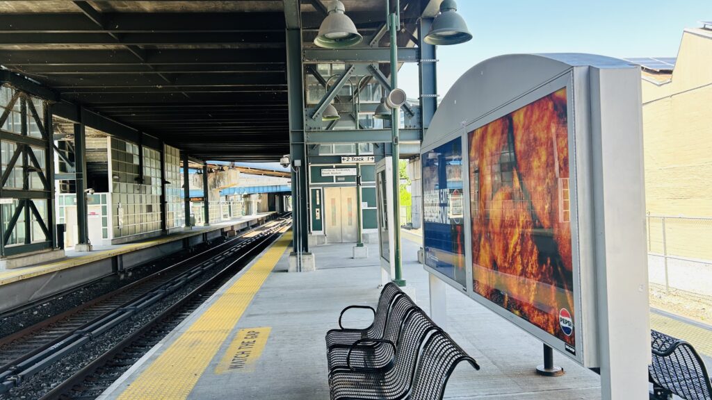
But, since I have to be relatively objective in these reviews, I’ll save the slander for after I drop the score. That aside, the station is built pretty large, and may seem overbuilt. But, remember, the Yankees are a MLB team – and, to a lesser extent, New York City FC also calls Yankee Stadium home, so this station presumably gets that ridership on game days too. As such, the station is designed with game-day crowds specifically in mind, and with mechanisms for trains to terminate here from both the New Haven and Harlem Lines. Yet, in spite of this, you still have elevators (for accessibility), benches, wastebaskets, and all that. You even have a rather long concourse out to 153rd and 157th Streets, and into a park that you can walk by to reach the stadium. There’s also vending machines in said concourse, and it’s also not exactly well-suited for hot days. Yikes. As for bus connections, you’re gonna be walking to River Ave. for the Bx13. Overall, though, it’s not a poorly designed station whatsoever, given its primary usecase.
TRAIN!it’s too hot…Highways galore!Platform shot!The concourseDesigned for game day crowdsThe passageway to street levelIt felt like a sauna out hereArtwork!…parking?Entrance!
The good: It’s well-designed to manage crowds in particular. It’s also close to where while you can theoretically make a connection to the B, D, and #4 lines, it’s not a good location for that (or any connection to the subway – Marble Hill has a better connection, albeit to the #1 line, despite not being accessible).
The bad: The rather poor connection to the B, D, and 4 lines primarily. Also, the Yankees. It can also feel like you’re in Hell here on a hot day.
Nearby points of interest: The Yankees. Duh.
Transit connections: Metro-North (Hudson Line) MTA bus (Bx13, at River Ave.)
Overall, it’s a pretty well-designed station with large crowds in mind. Certainly, a lot better than some other stadium-centric stations I’ve seen.
Rating: 8.5/10 (ignoring the fact the Yankees exist – otherwise it becomes a 0/10 just because the Yankees exist at all)
Anyways, on to the Yankees slander. The Yankees suck. They’re evil. They are not named the Evil Empire for nothing. They’re literally the embodiment of the Republican Party, both socially and financially. They embody greed (buying all the talent out rather than developing it in-house), they PROBABLY fund the Republican Party (but conservatives oftentimes like to LARP as Yanks fans), they’re literally owned by Satan himself. Actually, no, I don’t think Satan would be a Yankees fan. That’s an insult. THEY EVEN HELD A MOMENT OF SILENCE AFTER CHARLIE KIRK WAS SHOT IN THE NECK AND KILLED?!
They also buy their way into the World Series – however, given they only seem to win in years Democrats are in power, maybe they’ll fall at the hands of the Red Sox given they’re duking it out in the wildcard stage of the MLB playoffs. You know, maybe I can respect Mets fans for the mutual hatred of the Yankees. More like Dankees.
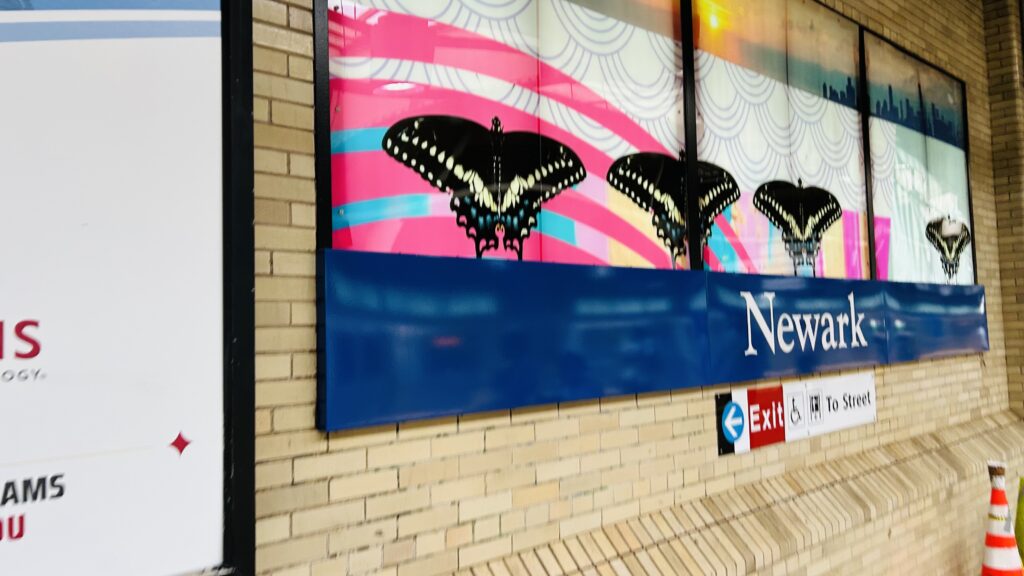
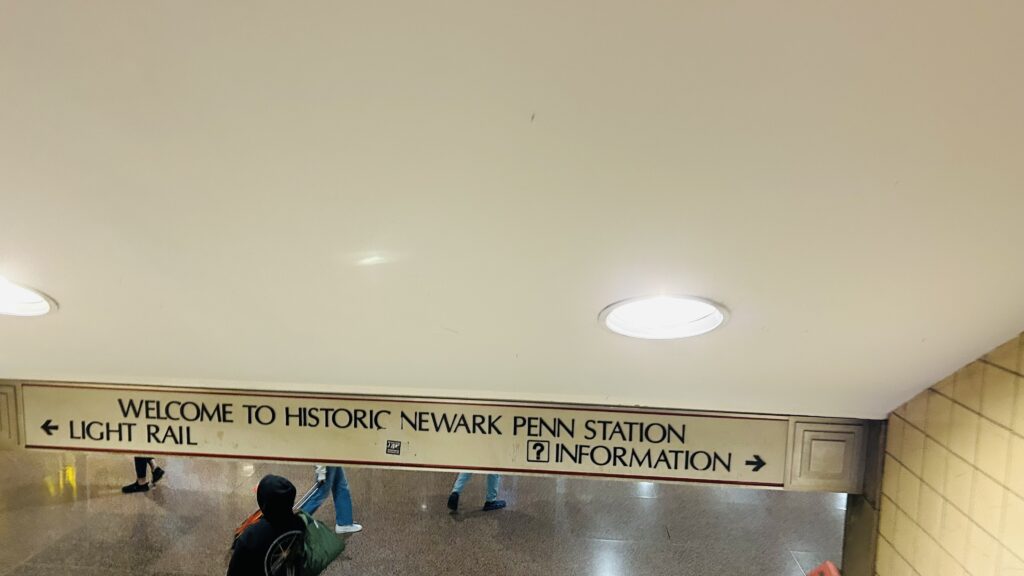
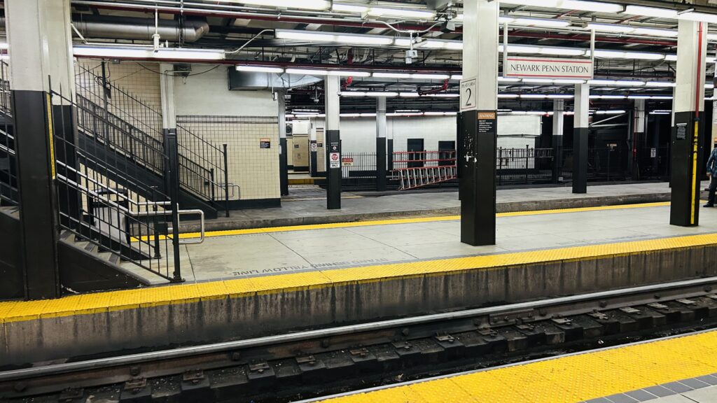
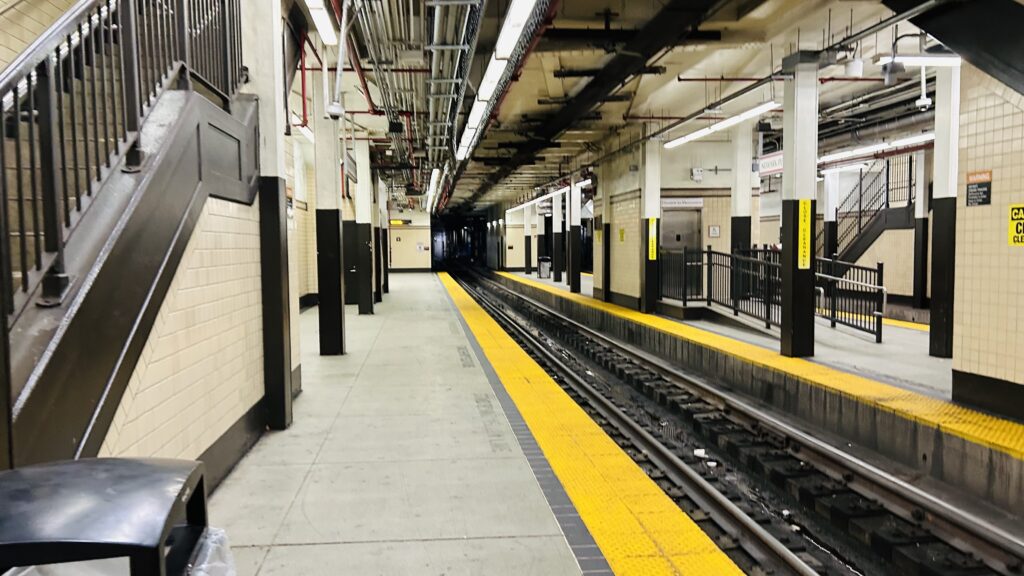
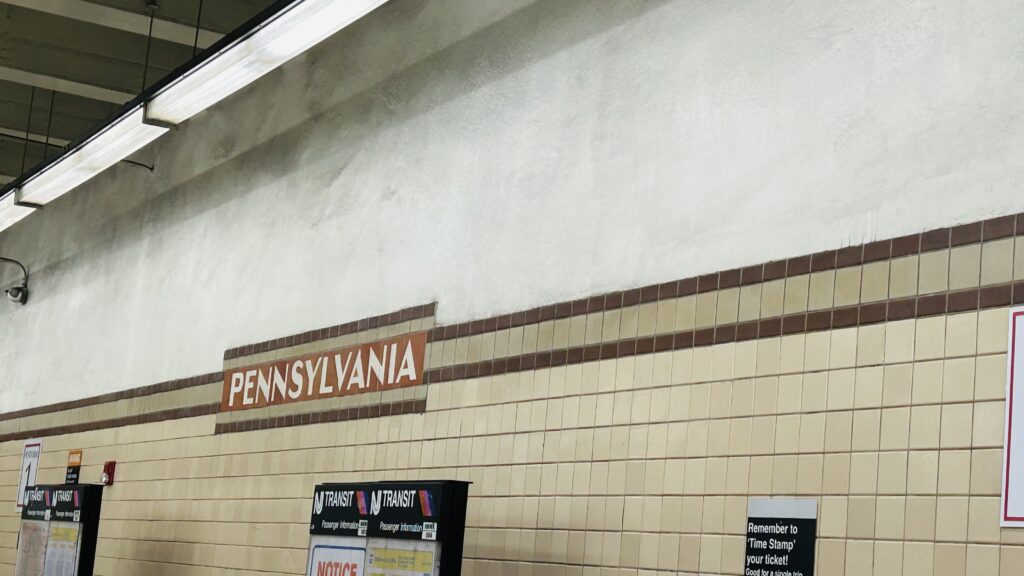
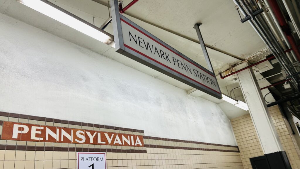
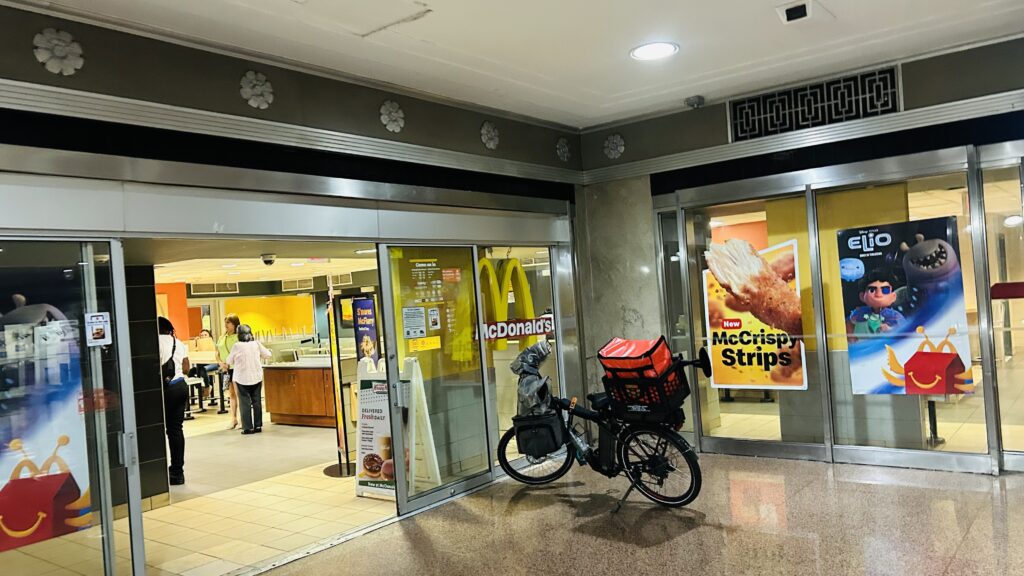
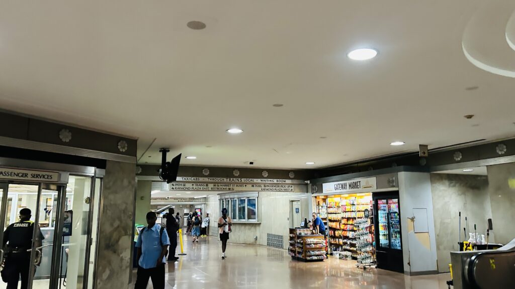
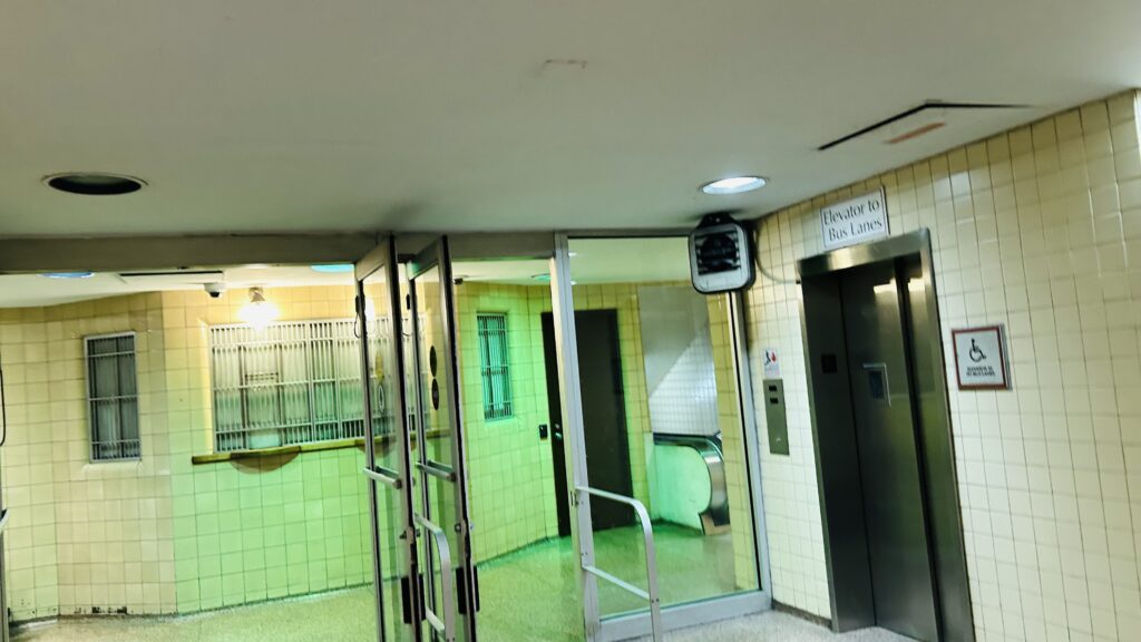
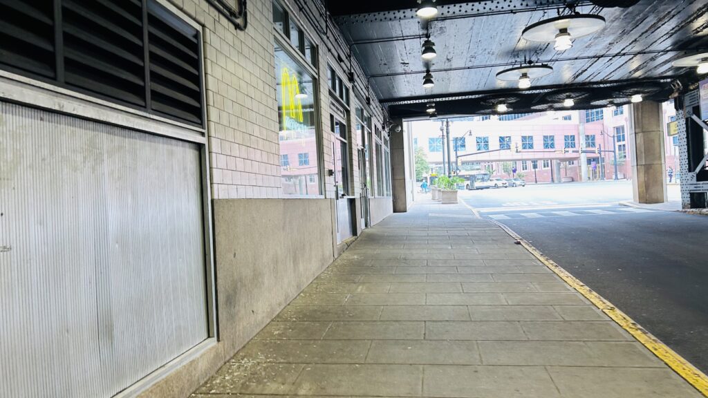
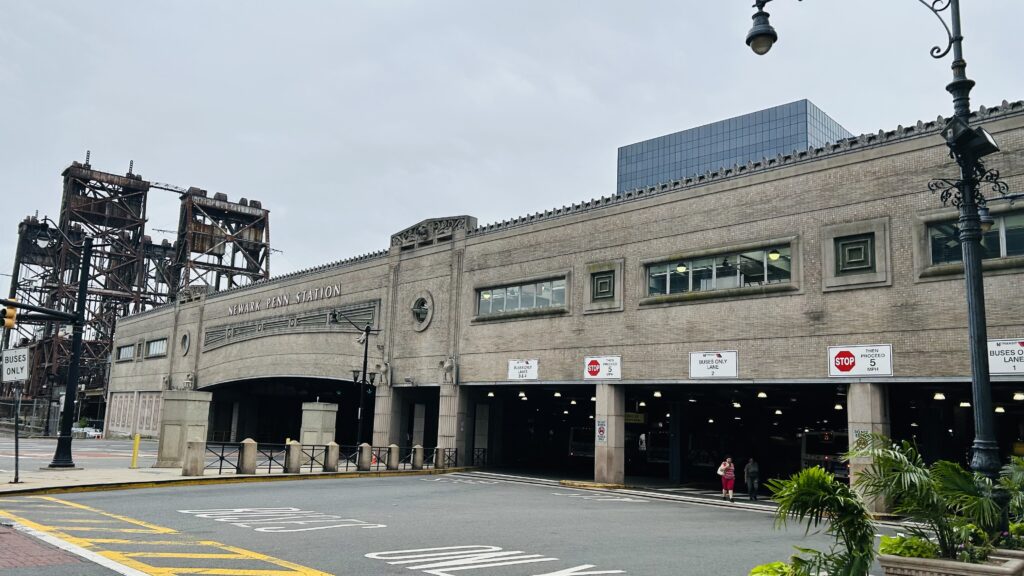
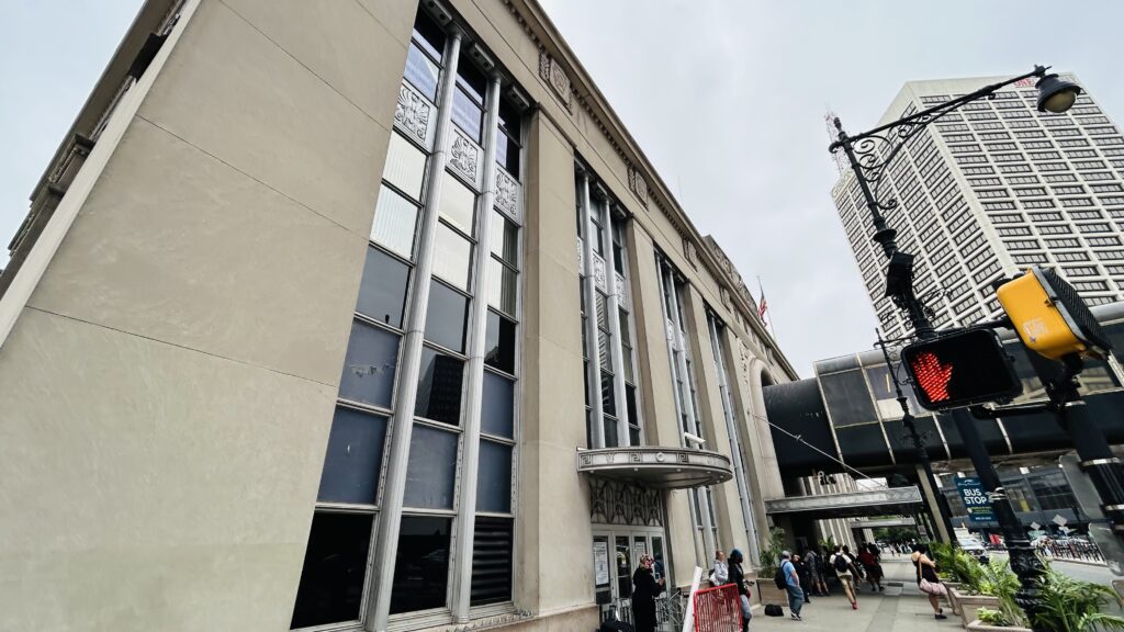
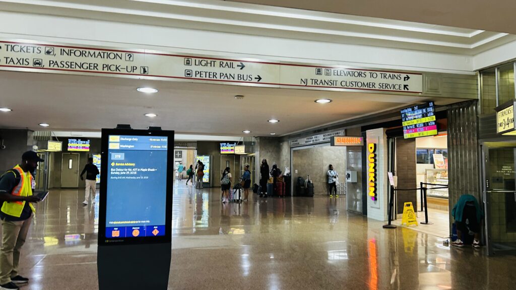
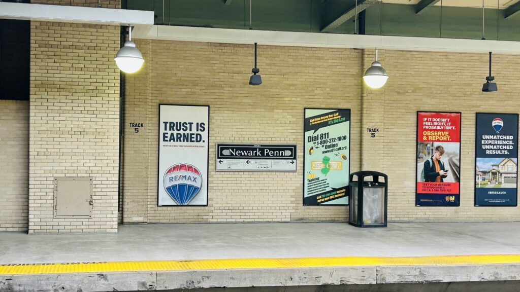
Penn Station is a major station located in NYC- wait, we already did Penn Station? What’s this then?! Oh, oh oh….this is NEWARK Penn. Alrighty. So, this is Newark’s Penn Station, located pretty much within downtown Newark. Let’s look. Buckle down, as this one’s a doozy.
PATH signage!
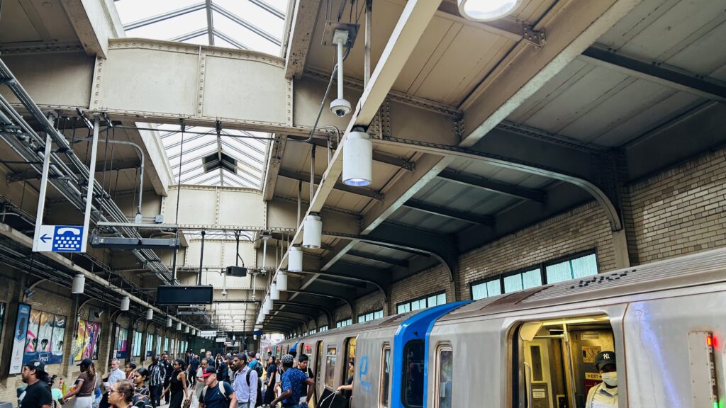
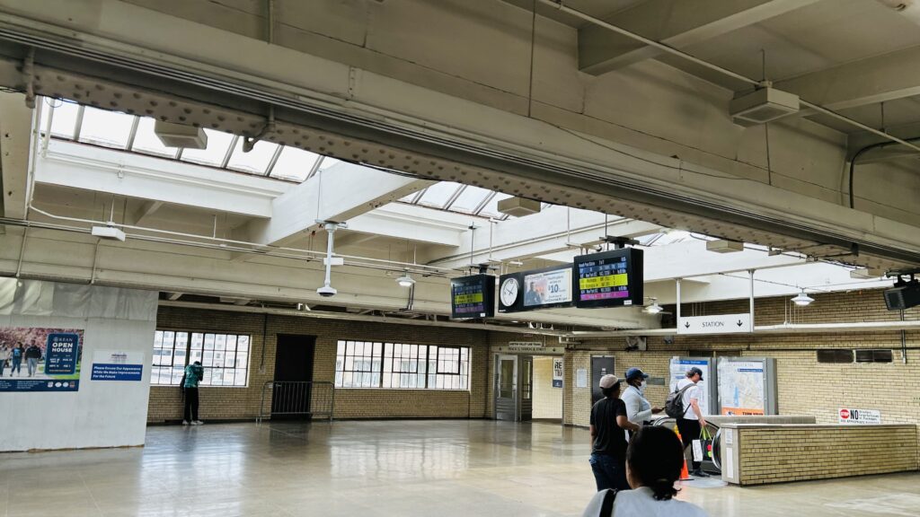
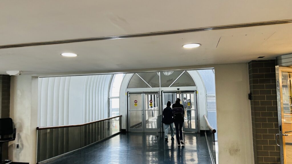
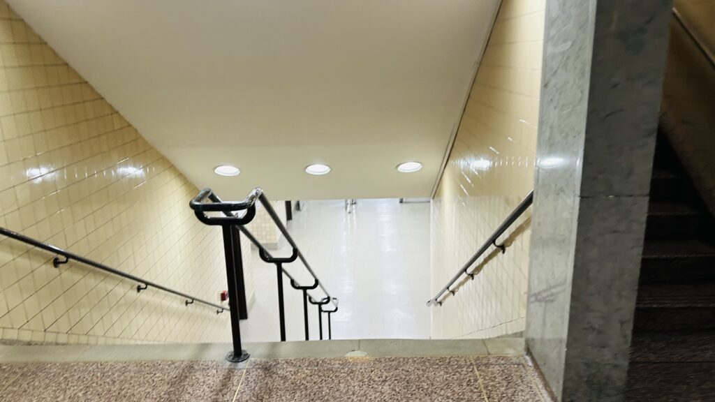
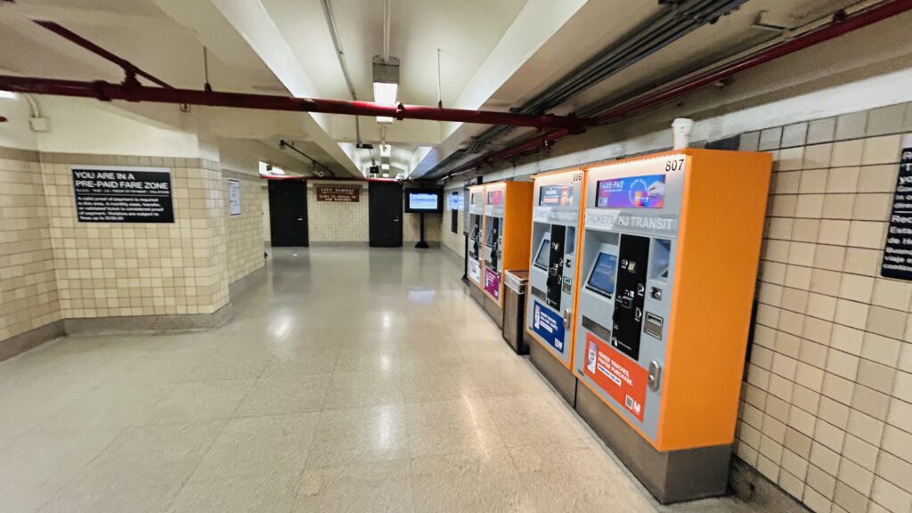
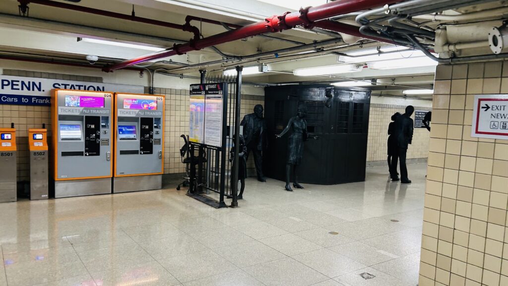
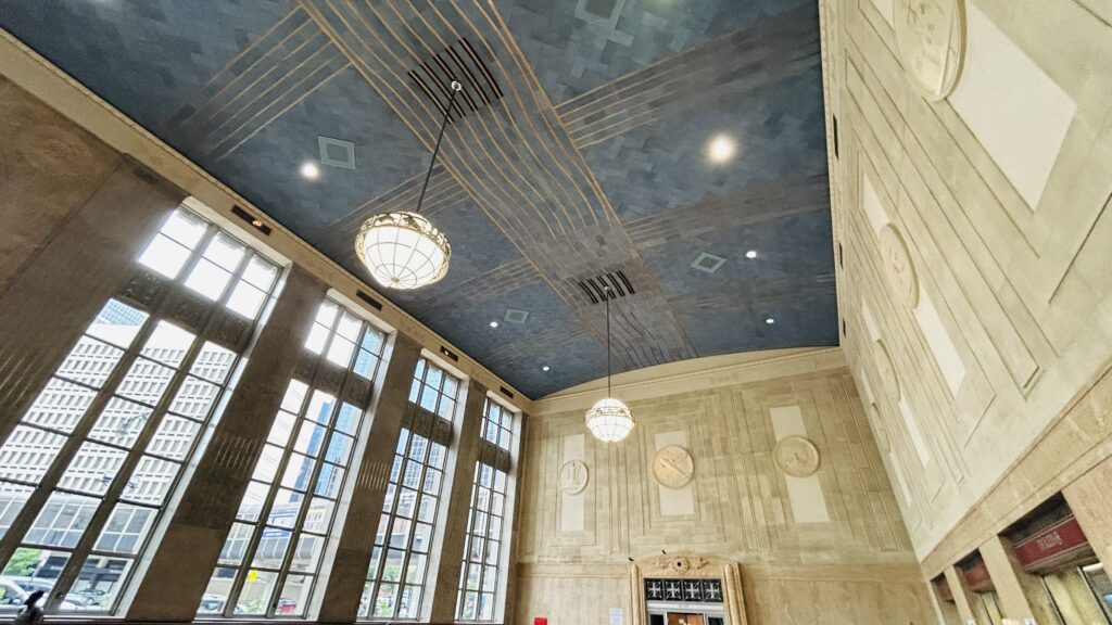
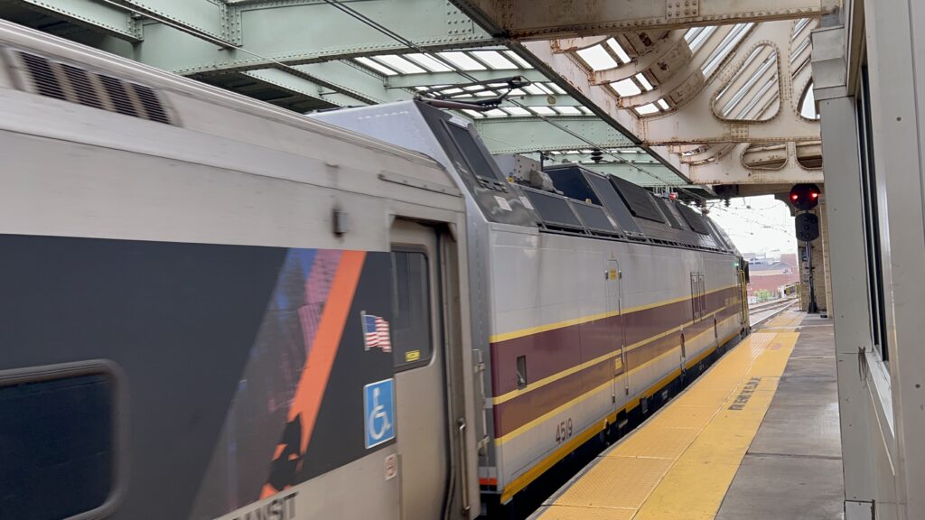
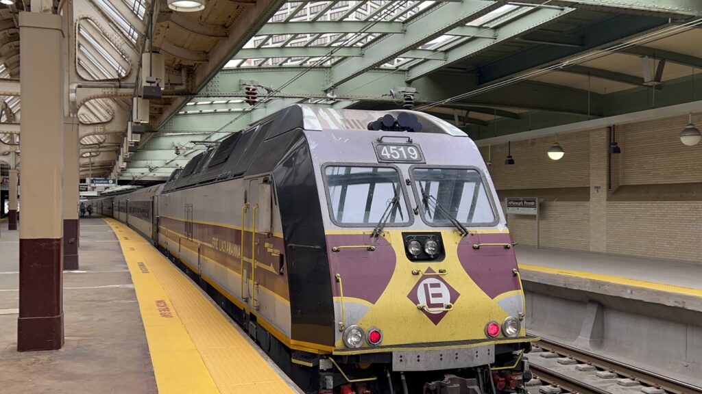
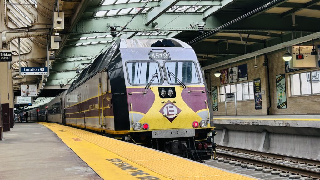
So, starting off with the PATH part of the station – it’s, surprisingly, directly connected to the Northeast Corridor platforms. It’s also the only thing to serve the upper level of the station. Discharge only, however. As such, it’s barren with only turnstiles to exit. But, you do have signage pointing downwards, departure boards for NJT and Amtrak, and even a connection to One Gateway and signage pointing towards …the Prudential Center?! Hey, give Boston their landmarks back! oh….this is a DIFFERENT one. Okay, I see, and the Jersey Devils play here?! Sick! Well, I’m not exactly one to follow hockey much, so I’ll instead let the hockey fans duke it out in the comments. (I loosely follow the Boston Bruins, I’ll cheer them on, but I’m not exactly as diehard a fan as I am for Rhode Island FC). Alrighty, so moving on, the concourse has a waiting room that’s staffed with NJT staff, another office for Amtrak, Dunks, among other things. There’s also a bus terminal which, quite bluntly, looks dingy as shit. The NJT Rail/Amtrak platforms are okay, there’s a lot of natural light, though I have to ask: why are the track numbers weird? Why is there a Track A, why are the express tracks numbered 2 and 3, WHY IS TRACK 1 NOT THE INNERMOST NORTHBOUND TRACK?! Anyways, I digress. Uniquely, one NJT Rail line terminates here at rush hour, forcing transfers either to a PSNY-bound train or to PATH (Raritan Valley Line trains terminate here due to capacity restrictions in the tunnels ahead) This is also quite a popular spot for railfanning, despite the fact there’s no high-speed action. Moving on, though, in the basement is the Newark City Subway (the Newark Light Rail) stop. This one’s a balloon loop with two lines: the main line, and the Broad Street branch. It’s actually quite a fine little station, with tiling and all that, but it’s rather quiet – and eerily so, a stark contrast to the station above. There’s also, weirdly, no fare gates here for the NLR, nor were there fareboxes on the buses. Does NJT just expect people to fare evade? Did I also mention there’s music playing in the station at all times seemingly? I genuinely don’t think there’s any other station I’ve reviewed where music is a part of the experience. Now, I won’t say it’s bad because it isn’t – whoever chooses the soundtrack doesn’t blast the same garbage crap that Mr. John Doe on the #2 subway line will blast while everyone is stuck on a delayed train in the Bronx or Harlem, and shoutout to NJT for that. With that out of the way though, this really isn’t too terrible a station! I mean yeah, it feels a tad sketchy at times, but it really isn’t too terrible.
End of the lineAn exit areaAn overpass to One GatewayWELCOME!StairsNJT TVMs!Statues!The NLR station!Looks empty to me…Tiling!NLR station signage!Micky D’s – and what looks like someone DoorDashing with a bicycleThe main concourseAccess to the bus terminalA tad dingy…Dear god…NJ Transit: The Way To Go???The station from outsideAnother station shotHERE’S YOUR DAMN FLIXBUS!!!Gigantic and very imposing drawbridgeA zoomed in shot, I think I was trying to catch a PATH train?That’s a bit easier to seeA passagewayDUNKS!The waiting roomUp to the NEC!The NEC!Another shot of the NECWaiting room?NEC platform signage…backwards-facing consist???holup-HERITAGE LOCOMOTIVE?!ERIE LACKAWANNAACELAAAATHERE SHE IS!an ALP46!
The good: It’s in downtown Newark! You also have a bunch of bus connections and almost every NJT Rail line (certainly, every Newark Division line except the Atlantic City Line). You also have PATH, while it isn’t as frequent however. You also have music playing in the station at pretty much all times, which is pretty nice.
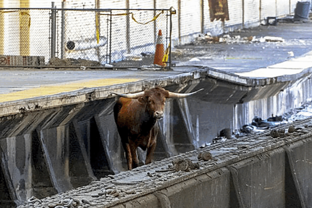
The bad: It can be a tad sketchy at times. Also, does NJT expect fare evasion on the NLR? Also, be prepared for a bull to escape and wreak havoc on your morning commute. Also, your commute could easily be killed (regardless if you take PATH or the NEC) should the gigantic imposing drawbridge have to be opened.
Nearby points of interest: A lot. The Prudential Arena, Rutger’s Newark campus, along with NJIT.
Overall, it’s not a bad station. It’s a bit sketchy, yeah, but it’s also downtown Newark. Despite being stupidly close to Penn Sta.-NY, it’s still an important station in its own right. Also, that oversized imposing drawbridge admittedly looks sick, all things considered. I do wonder though, if it ever opens.
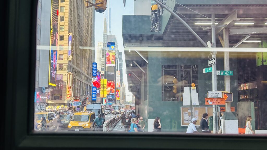
Wait, the M42? Why does this bus even exist when both the 7 and Times Square shuttle exist?! Well, unfortunately, the 7 doesn’t have a stop near 1st or 2nd Ave., and neither does the Times Square shuttle. The shuttle also doesn’t have a stop in the far west side of Manhattan around 11th Avenue. Thus, where this comes in. Let’s take a look at how painful a route this is.
The origin
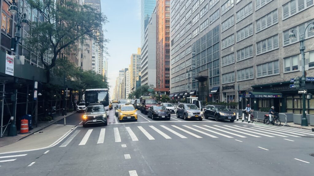
Functionally, it’s a straight shot across 42nd Street and should be a cakewalk. However, unfortunately, this route is easily the biggest offender in regards to crowding, and it was total hell to even get the photos for this review. I don’t think I’ve ever been on a 40 foot bus that was so horribly crowded I genuinely felt claustrophobic just riding it. I’d legitimately take 3 consecutive Q38 roundtrips (pre-Queens BNR) before taking a singular M42 ride again. It probably would take as long, anyways. So, from the outset leaving 12th Avenue, the bus was standing room only and it was already pure hell. Why can’t the MTA use bendy buses? At least, it was smooth sailing until 8th Ave., with the connection to the Port Authority Bus Terminal. Some people got off here, presumably to connect with either the A, C, E, NJT buses, or an intercity carrier, but I think the bus got MORE full. At this point, the bus began really crawling too. Legit, it felt like it’d be faster to walk and that I was cheated out of $2.90. We eventually made it to Times Square. A couple offs, but no ons. Change for the 1, 2, 3, 7, N, Q, R, W, and IRT shuttle lines.
Oh godI think this was around 9th Ave.?Or this? I don’t remember.BUNCHING8th Ave.-Port Authority Bus Terminal.7th Ave./Broadway – Times SquareTIMES SQUARE IN A BUS
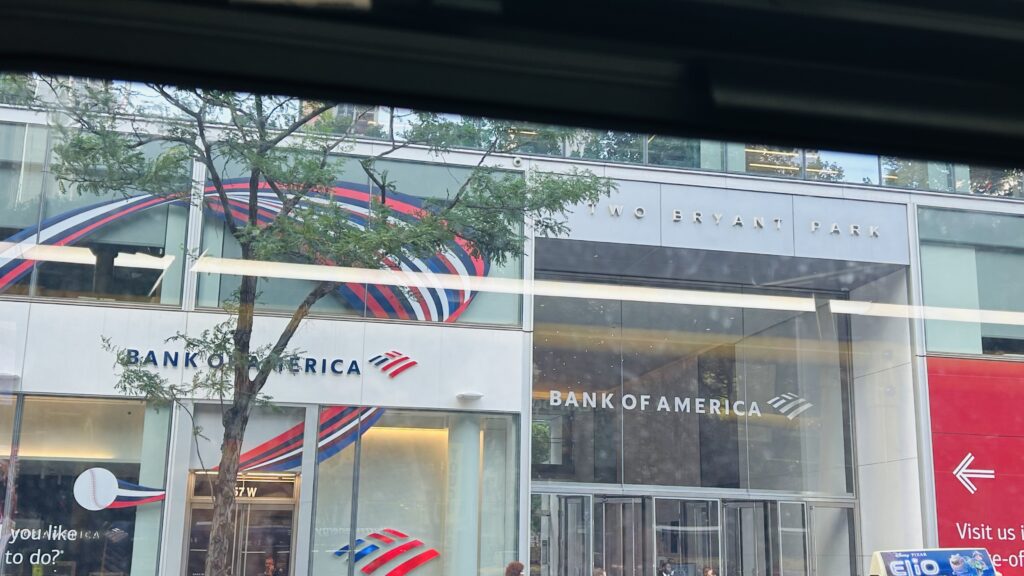
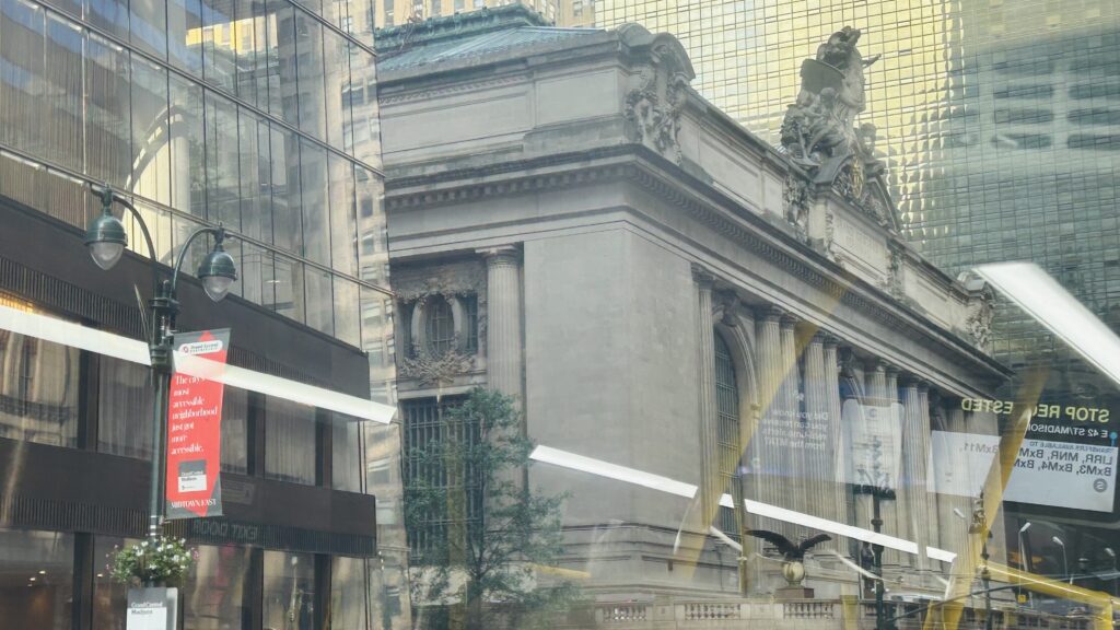
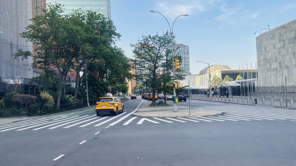
Yep. This was quite a slogfest. Hated it. 6th Ave.-Bryant Park crawled by, with another 7 connection (at 5th Ave.) and to the BDFM lines, followed by Grand Central with yet another 7 and shuttle connection – but this time, also with the 4, 5, 6, Metro-North, and LIRR. Woah! And, eventually, after crawling for so long, we made it past Park Avenue, 2nd Avenue (with a planned stop for the T line once it gets funded in 25 billion years from now), and 1st Ave. at the UN headquarters. FINALLY.
bank of americaanother bankGrand Central Terminal!2nd Ave. subway stop when?IS THAT THE U.N.?!TAXIGET ME OUTTA HERE!!!!!!
The good: It serves all the cross avenues on 42nd Street! And, as such, hits some very important spots including the ferries on 12th Ave., the PABT, Times Square, Bryant Park, Grand Central, and even the UN headquarters! I wonder if any diplomats use the bus…
The bad: IT FELT LIKE IT TOOK ALMOST AN HOUR TO GO TWO MILES. Officially, it’s timetabled to take about 25 minutes, which is STILL pretty bad. I think in practice it was closer to 40 for me. It’s a bloody slogfest though, worsened by Midtown traffic. SBS-ifying the route would not help.
Nearby points of interest: A LOT. Times Square, the Port Authority, the waterfront, the UN, Grand Central, Bryant Park, the NY Public Library’s central branch, among other places.
Overall, PLEASE. THIS BUS ROUTE NEEDS JESUS. I FEEL WRONG EVEN SAYING THAT, BUT IT NEEDS HELP. IT NEEDS TO BE PUT OUT OF ITS MISERY AND KILLING IT ISN’T THE ANSWER. Maybe give it bendy buses to alleviate crush-loading issues?
Rating: 2/10 in practice, 8/10 in theory
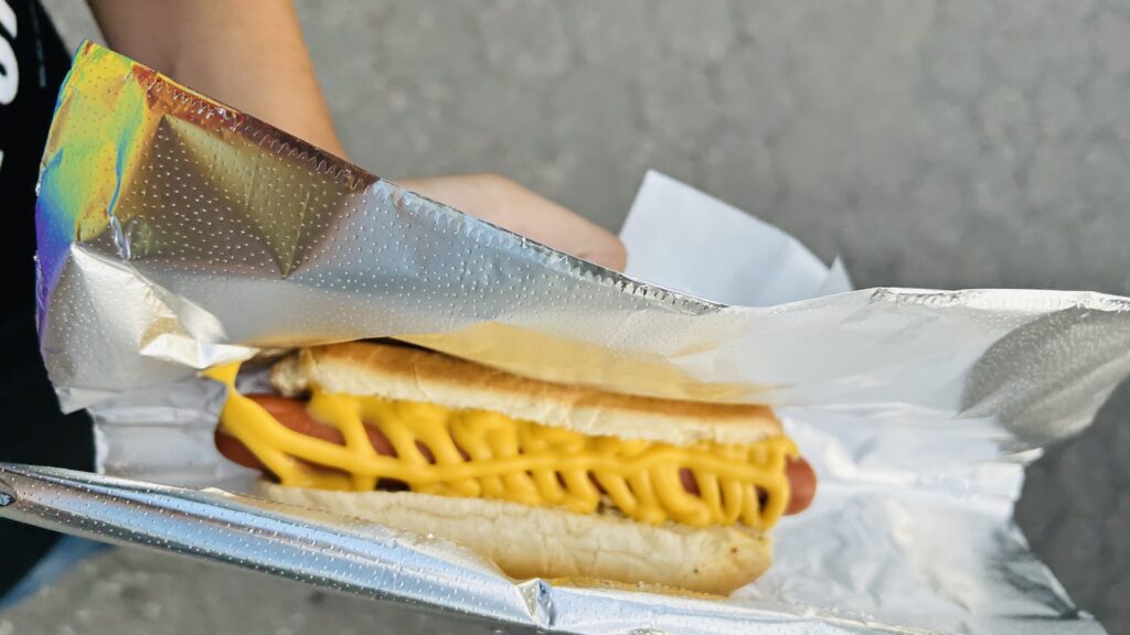
I got a food cart cheese dog afterwards in Battery Park.
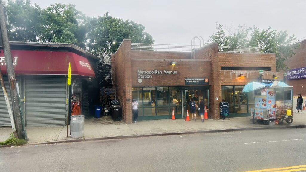
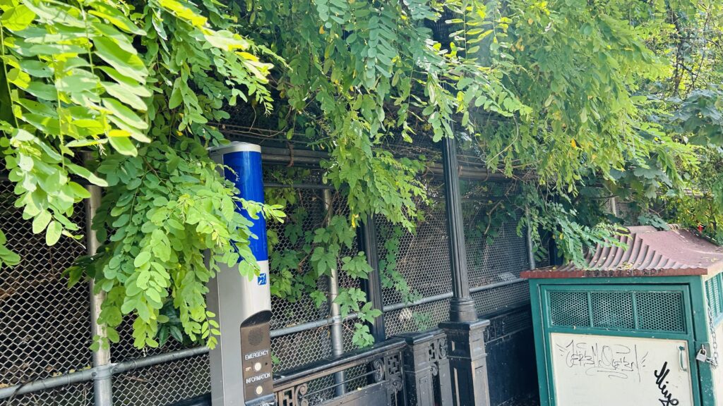
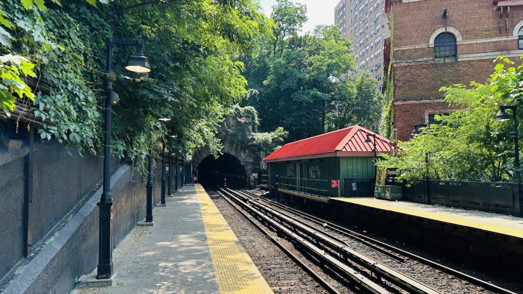
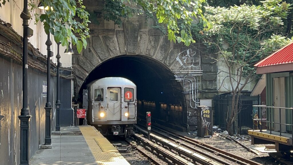
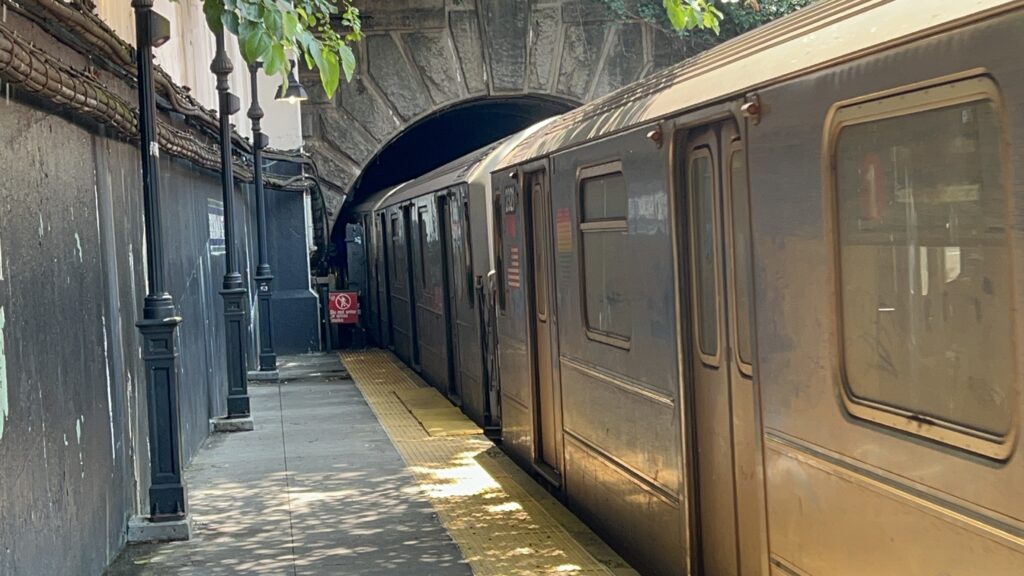
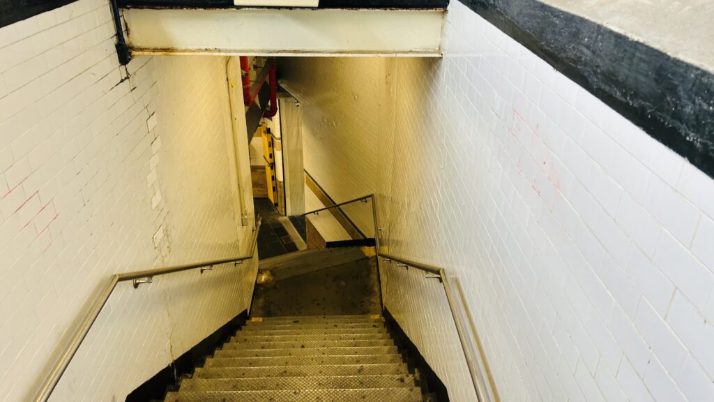
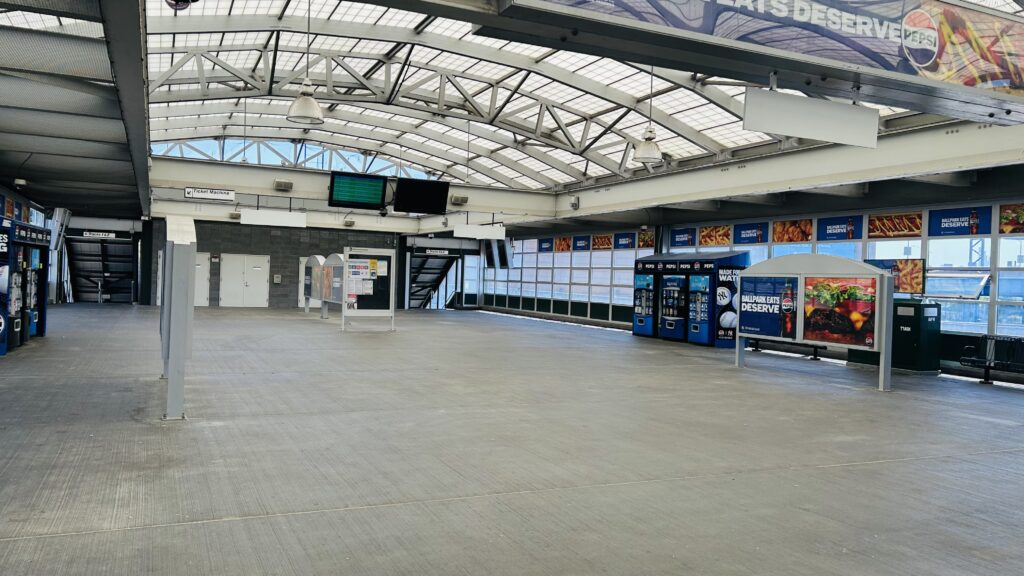
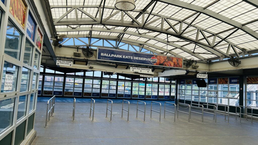
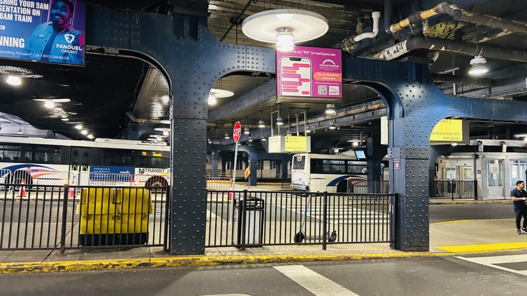
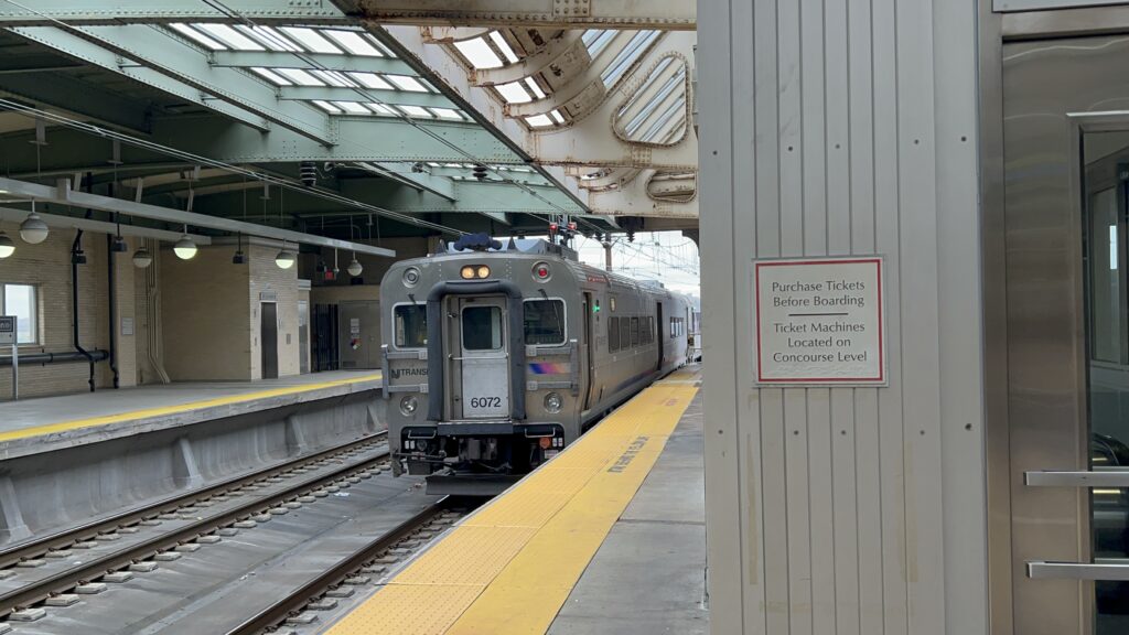
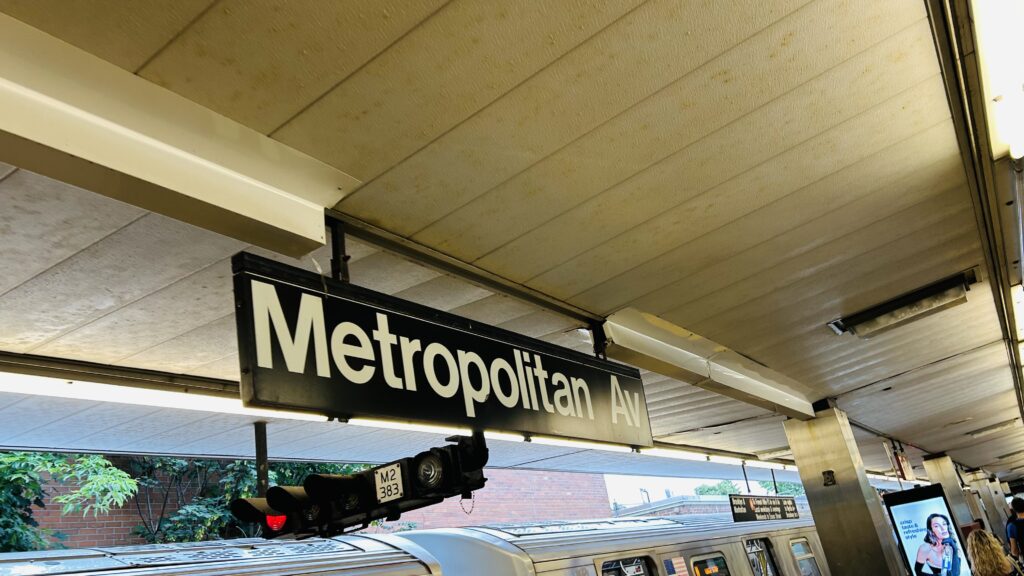
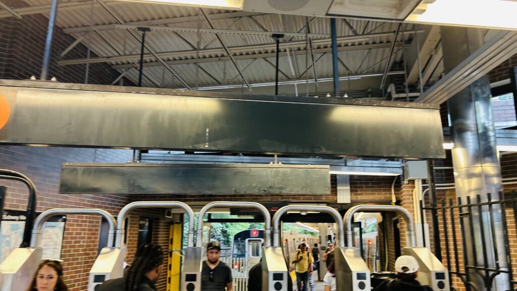
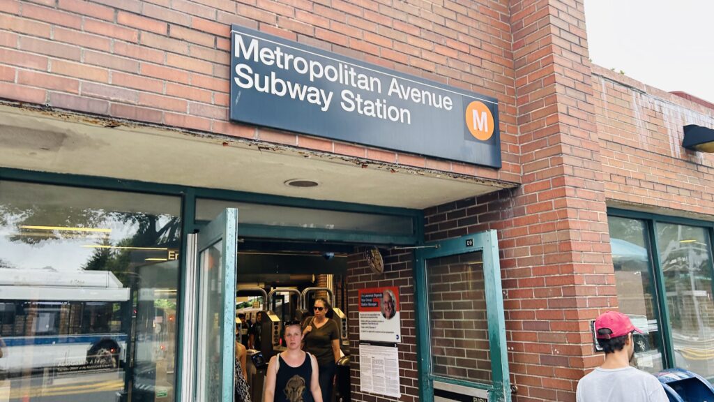
Metropolitan Avenue is a small station at the end of the M line located in the Middle Village neighborhood in Queens. It’s also the other end of the M line, not named “Forest Hills”. With that in mind, let’s look at it.
Signage!
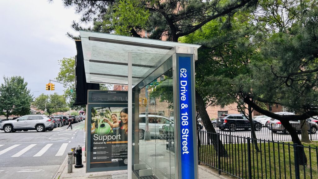
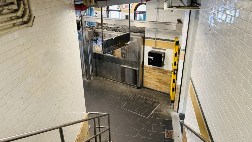
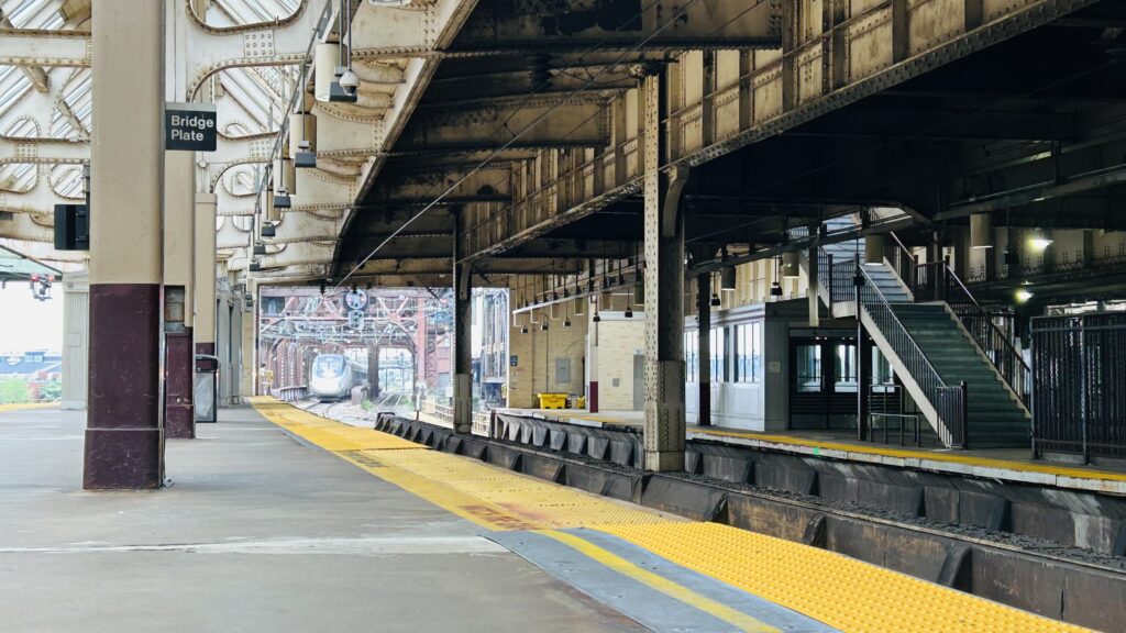
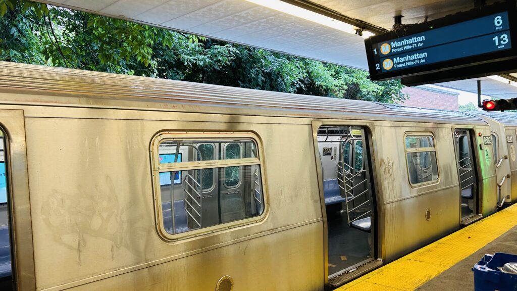
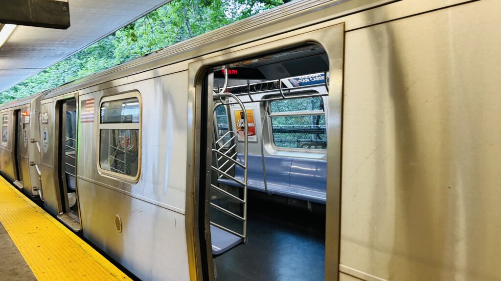
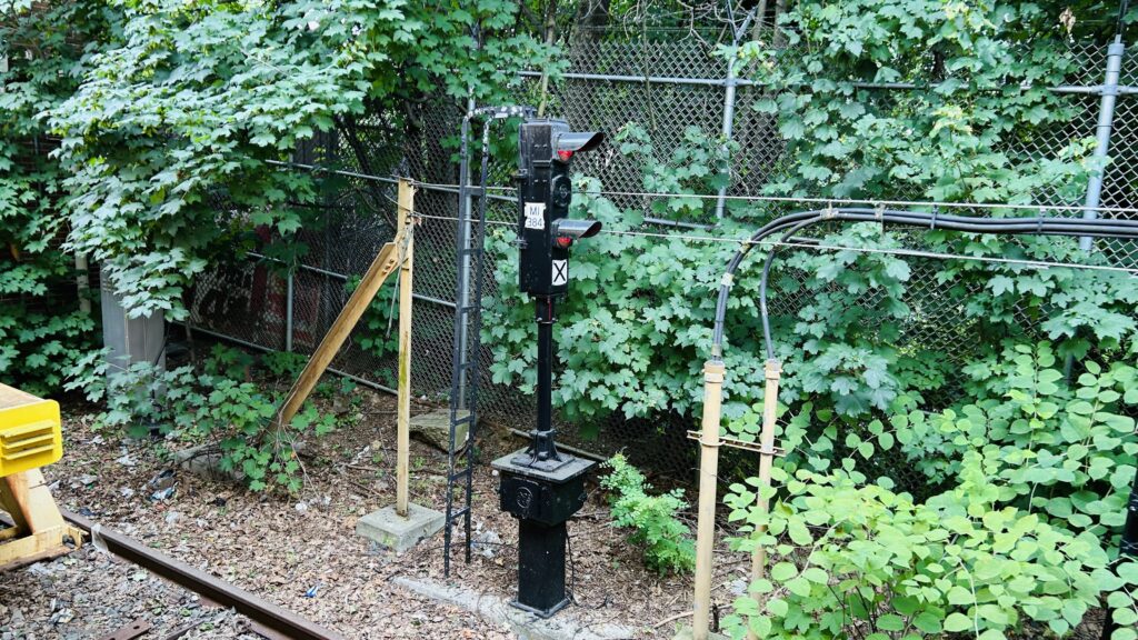
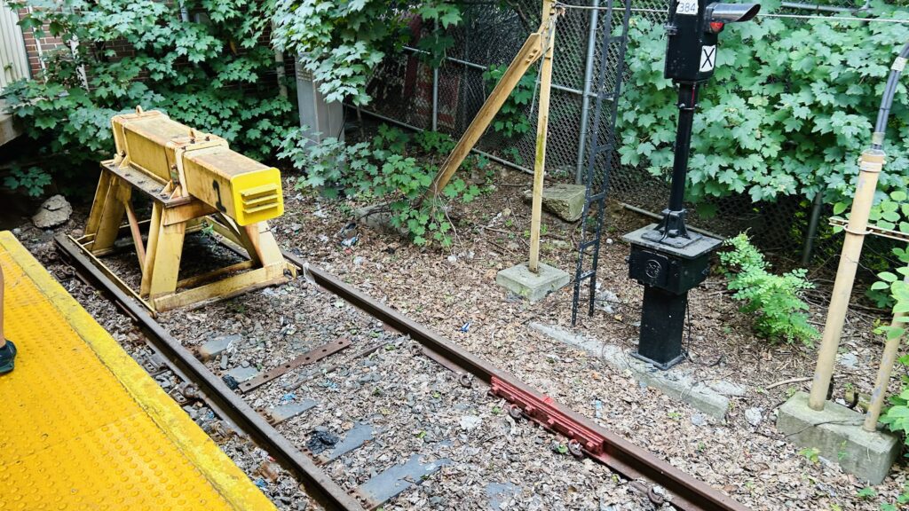
The M serves this stop at all times, and departs from here to either Forest Hills (weekdays), or operates as a shuttle to either Essex Street (on weekend days) or Myrtle/Broadway (overnights). The platform is a bit narrow and while you won’t find benches, you will find wastebaskets. There also exists a brick station house which is fully accessible (no stairs or elevators needed), and has both MTA employees and ticketing machines. As for buses, located on Metropolitan Avenue are connections to the Q38 (24.34), the Q54, and Q67. However, unfortunately, due to the Queens bus network redesign, the Q38 is no longer what some would consider a “meme route”. This stop’s also proposed as a transfer station to the Interborough Express – which was originally going to be quite a mess around the area with street-running segments (maybe the only segment of its kind in NYC proper?). However, public pressure got that changed – so no street-running will be happening in the future. Overall, though, not a bad station.
Countdown clocksNew tech!Towards the station headhouseForests! I think the ex-LIRR Bay Ridge line is down there, too?Absolute stopBIG MEAN MOTHER BUMPERThe headhousehaha 24.34 go brrrExterior signage
The good: It’s located next to both a shopping center and a school. Furthermore, the area is pretty residential once you go beyond Metropolitan Avenue itself – and is relatively dense at that, compared to normal suburbia. Also, it’s proposed to be a transfer station for the Interborough Express. Neat! It’s also accessible without even needing an elevator!
The bad: Not much. The platforms can be a tad bit narrow, which might make it annoying to navigate should one need a mobility device (I’d presume – idk, I don’t use mobility devices).
Nearby points of interest: There’s a shopping center and a high school! There’s also a cemetery.
Transit connections: 6th Ave. Lines (M) MTA bus (Q38, Q54, Q67) Interborough Express (in the future)
Overall, it’s not a bad station. I don’t have TOO much to say about it, but sometimes that’s a good thing. Though it does feel a tad cramped.
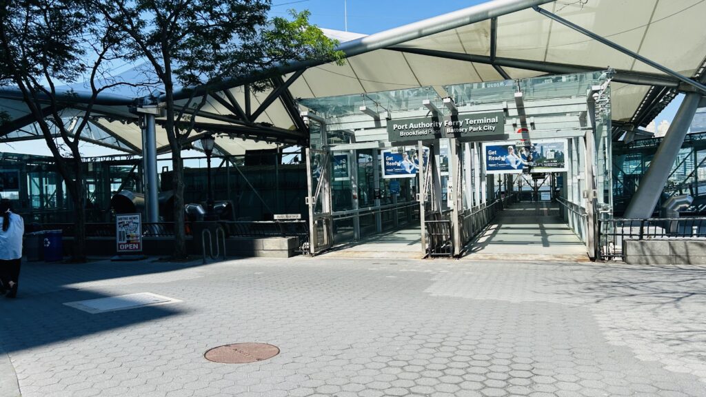
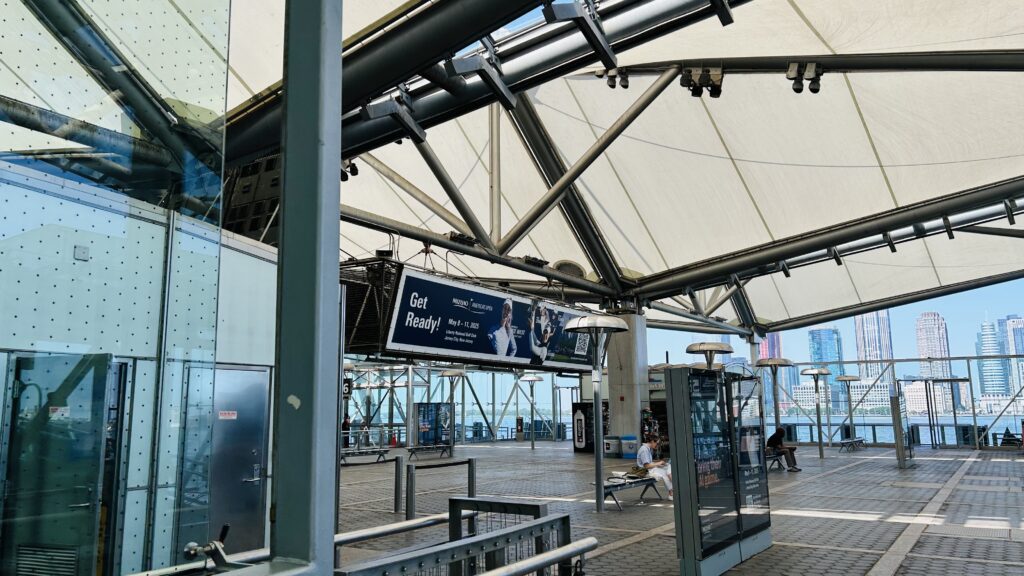
The Brookfield Place ferry terminal is a short walk away from the World Trade Center and is located in Battery Park City, off Vesey Street.
The entrance
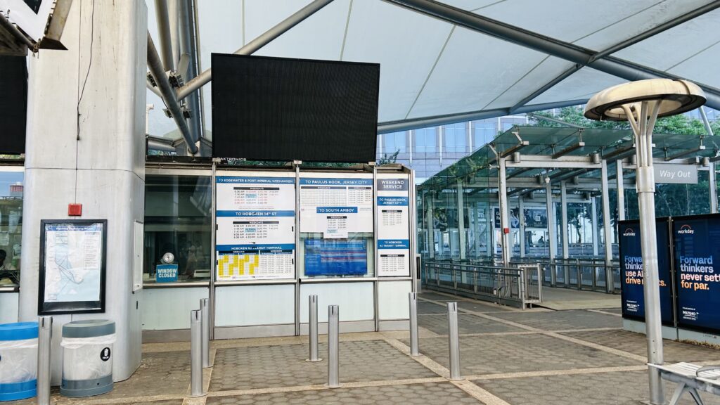
The terminal consists of a glass shelter and waiting areas for the various carriers that serve here. There’s also a ticket office for NY Waterway, and if memory serves, I think also a newsstand? I could be misremembering though. Yeah, not a lot to talk about. Sorry. It’s kinda in walking distance of the World Trade Center station complex, so I’m lumping it in with them, even though this wasn’t built until 2009.
The good: It’s accessible! It’s also got seating and ticketing areas.
The bad: Nothing. I got nothing to remark about it.
Nearby points of interest: Battery Park City, the World Trade Center, Brookfield Place.
Rating: 8/10
The waiting areaOne of the ticketing offices
Yeah, because there’s not a lot to talk about, I’ll also be talking about the Liberty Landing Ferry. The ferry used on this route is a smaller one, yellow colored. The route goes over to the Warren Street dock over in Jersey City, and then it bangs a u-ey to stop at the Liberty State Park ferry terminal. It’s quite a scenic ride, all things considered (really, the view of NYC from Liberty State Park in general is beautiful), and for the rather scenic trip across the Hudson, the $10 it costs is worth it.
The good: It’s SCENIC.
The bad: The $10 might be steep for the full run, however I think it’s worth it.
Nearby points of interest: Liberty State Park is a big one!
Rating: 8/10
Overall though, it’s not bad. Now, that does leave two ferry terminals tied to this as un-reviewed. But, I’ll cover them at a later date. Maybe, as filler content.
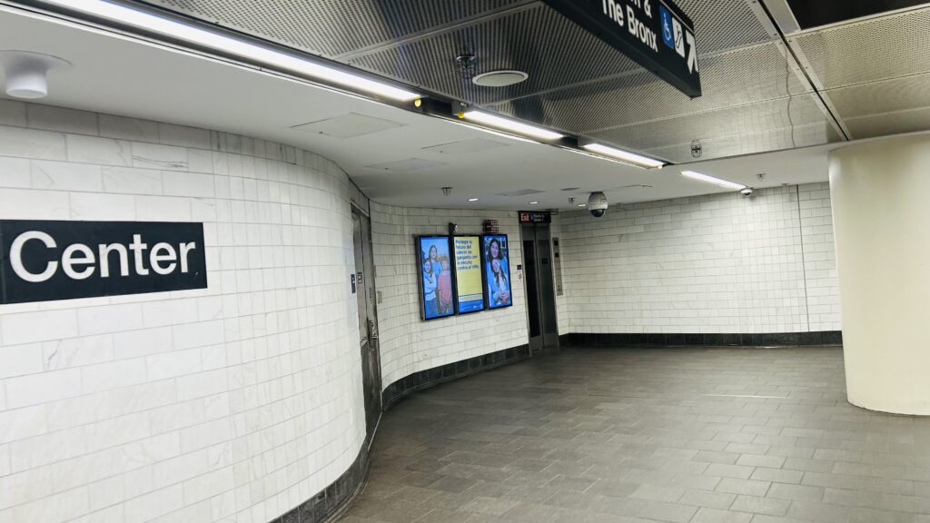
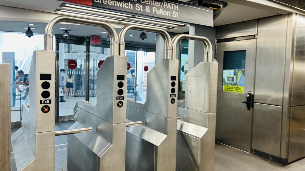
Alrighty, part 3 of this 4-part miniseries on the World Trade Center station complex. The #1 line has its own station here, with out of system connections to the other stations (PATH & the 2/3/A/C/E/R/W stations). Located directly under the World Trade Center, it suffered a similar fate to the PATH station in the immediate fallout of the September 11th attacks – requiring a full rebuild.
Station signage
So, I talked about how the Port Authority handled the attacks in that World Trade Center entry, but how did the MTA handle things? A subway operator, approximately a minute or so after the first plane striking, reported an explosion in the vicinity of the station and, from what I can find from accounts on Reddit, the train passing through at the time skipped the stop, the 1 line south of Chambers Street was evacuated entirely (no trains allowed) and eventually service was forced to turn at 14th Street. Later that day, at 10:20am, the system was shut down entirely for about 2 and a half hours – one of a small handful of times the system has ever seen a full shutdown (the others being during Hurricanes Irene and Sandy, the January 2015 snowstorm, and the relatively small amount of full city blackouts and union strikes over the years. However, as a result of 9/11, though, various service changes kicked in and it’d take a while for full service to be restored to Lower Manhattan, among these changes including the 1 line going to New Lots, quite possibly the only time in NYC Subway history that it’s ever entered Brooklyn, along with other unusual stuff like the E running via the C in Brooklyn (the C was not running), the J to Bay Ridge, and the Q to Forest Hills(????) (the R was not running). Yeah, things were weird. Eventually, though, by late 2002, everything was relatively normal again. Cortlandt Street on the 1, however, wouldn’t reopen until 2018. And, thus, brings things to the modern day.
GAY TRAIN!!!
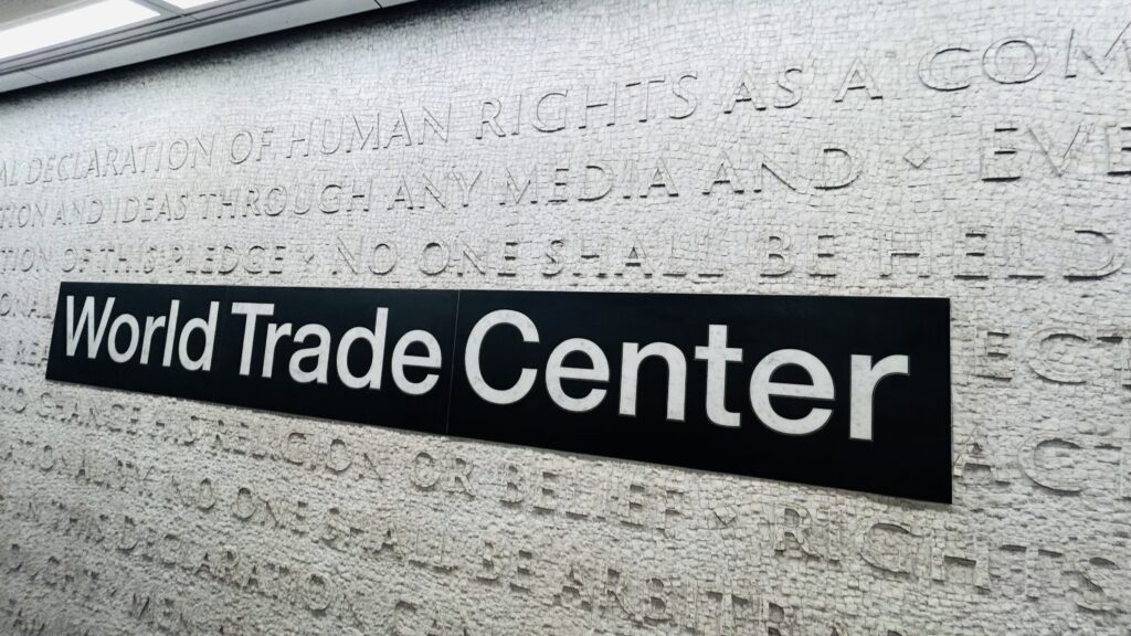
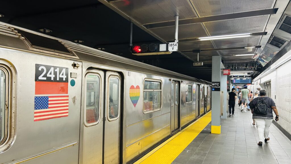
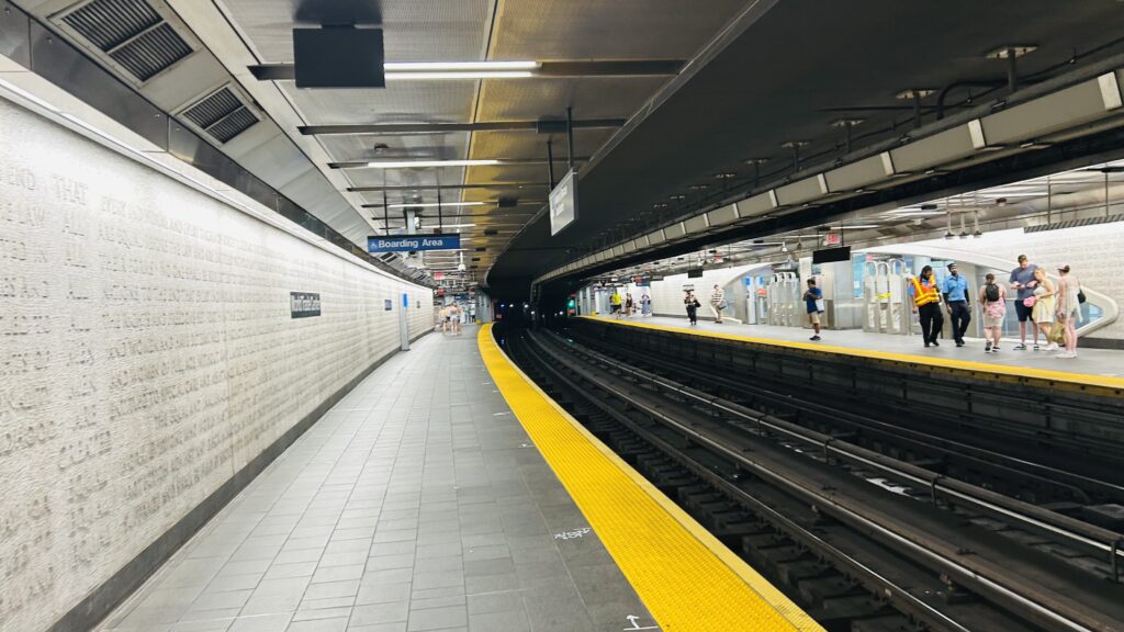
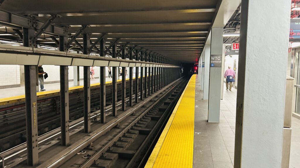
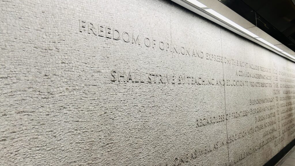
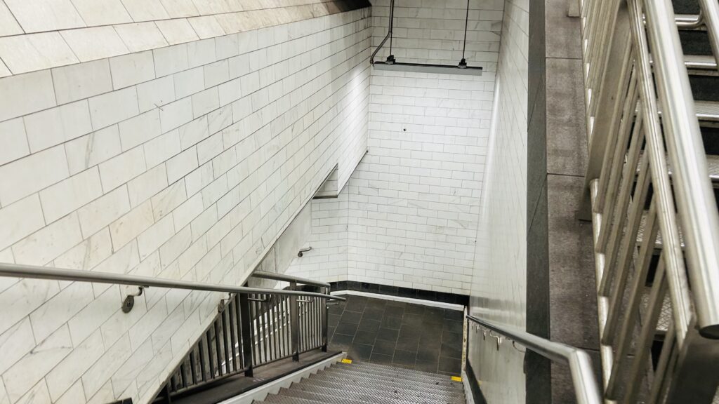
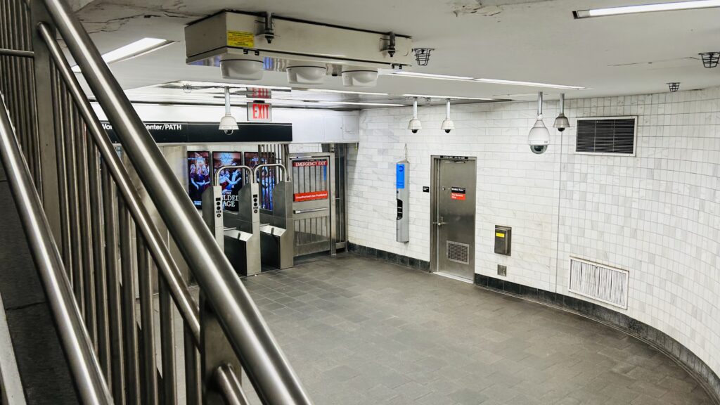
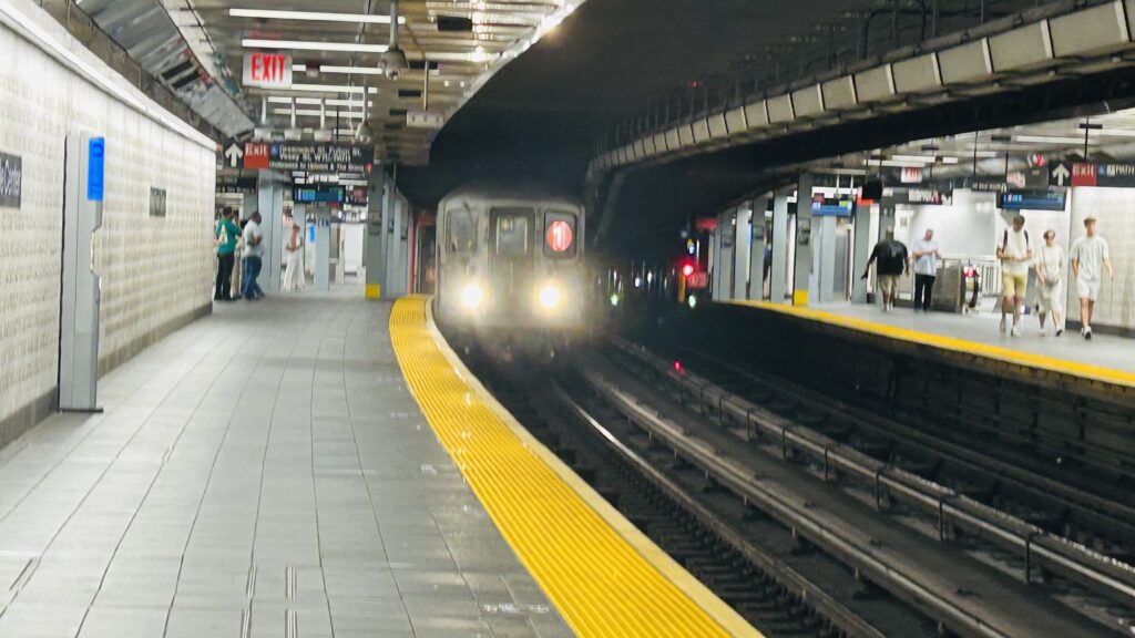
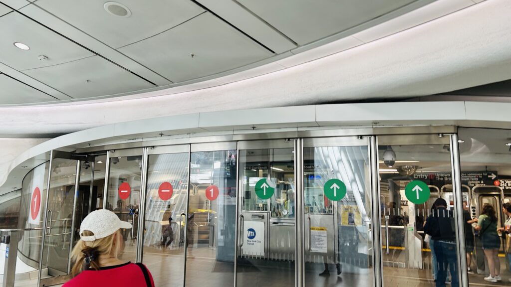
The station is an accessible and rather modern MTA subway station, consisting of two side platforms, benches, wastebaskets, the usual affair. Elevators also exist, making this station fully accessible. There also exists an exit that dumps you out right into the Oculus. There’s (if I’m remembering right) also an OMNY machine and a station agent, along with modern countdown clocks and an underpass connecting the two platforms. Overall, not a terrible station, if I say so myself. There’s also a marble mural on the wall, which from what I can find has words from both the US’s Declaration of Independence and the UN’s Declaration of Human Rights. Overall though, not a bad station!
Towards MidtownNext stop: Rector Street.Mural!Stairs to the underpassFare control!TRAIN!Elevator!Exit out to the OculusAnd from the other side!
The good: It’s modern, it’s accessible, and serves a major location in lower Manhattan. There’s also connections to quite a few buses and (out of system) other lines. It’s also a direct connection to the Oculus and Twin Tower.
The bad: Not big on the Oculus personally, but that’s beyond the scope of this.
Nearby points of interest: The World Trade Center. Duh.
Yeah, it’s got all the same connections, bus-wise, as Chambers St./WTC on the A/C/E lines.
Overall though, it’s not a bad station. It doesn’t serve anything unique to its walkshed, but sometimes, that isn’t a bad thing. And, this is one instance where it isn’t bad.