39 (Forest Hills/Huntington Ave./Back Bay Station) – aka the Arborway bustitution

Oh boy, another MBTA bus route! And this time, it’s a decades-long bustitution! The Arborway used to be a part of the Green Line’s E branch. However, in late 1985, the MBTA decided to temporarily close the extension beyond its present terminus of Heath St. As of now, it’s still closed, and it’s more of a permanently temporary closure, rather than just simply “temporary”. In its place is the 39, which largely replaced it. So, with the MBTA lore out of the way, let’s dig into this route.
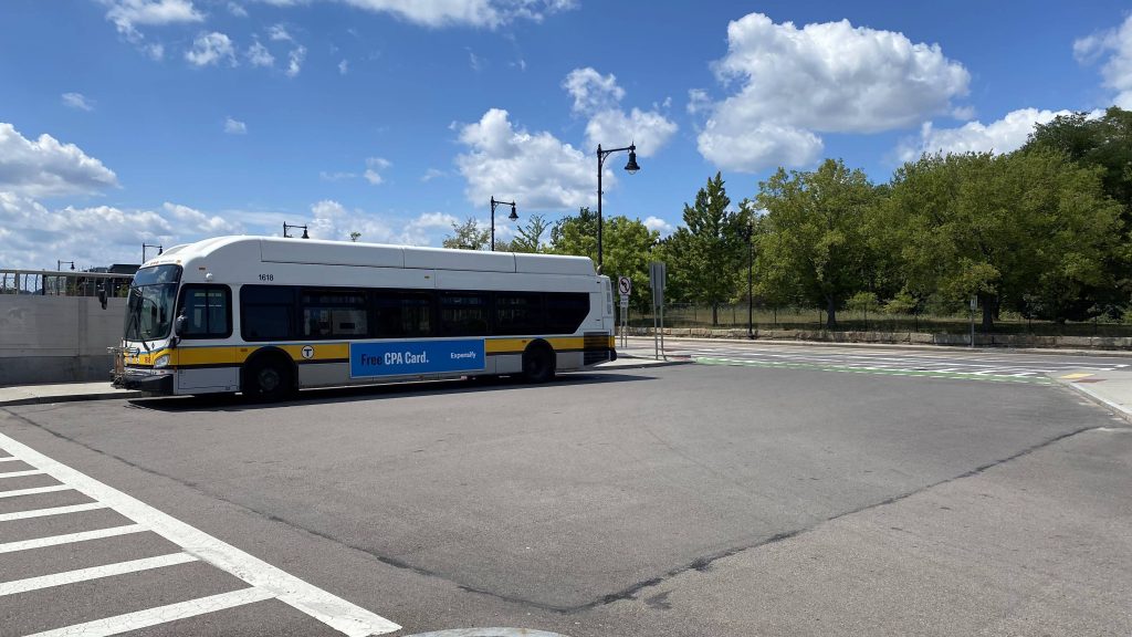
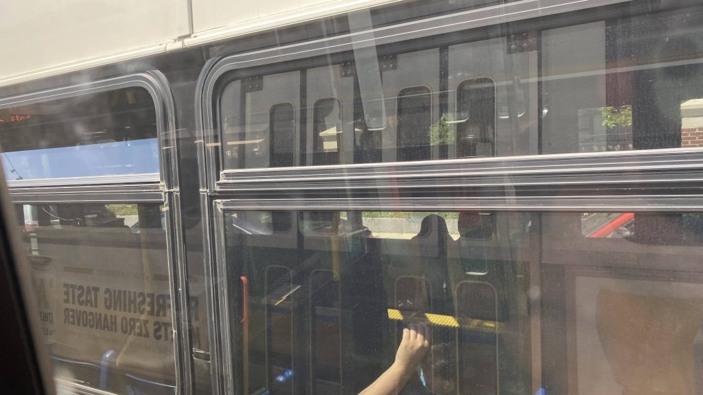
Ooh, a CNG bus!

So we left Forest Hills’ upper busway and proceeded down South and Centre Streets, passing the Arborway. Eventually it became lined with businesses and strip malls, as we kept getting passengers and, eventually, we turned down South Huntington Avenue.
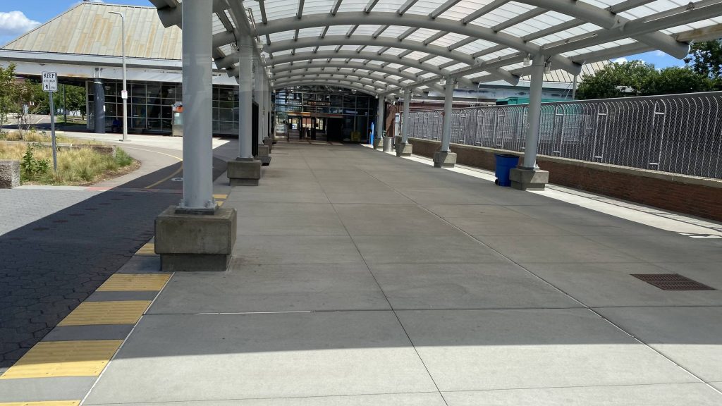
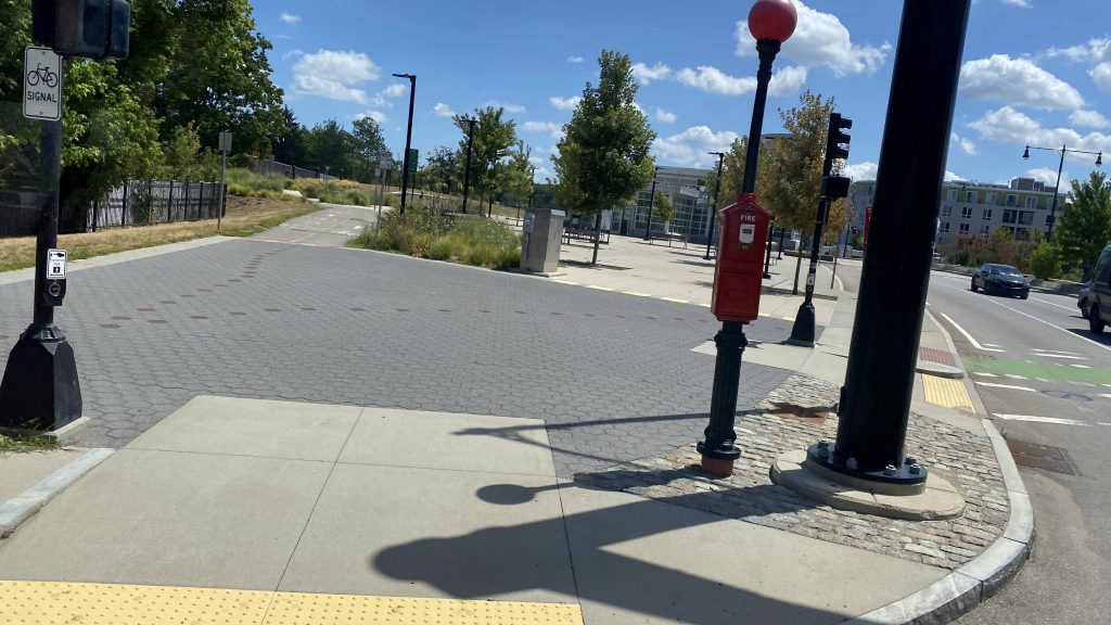
See ya, Forest Hills!
The Arborway!
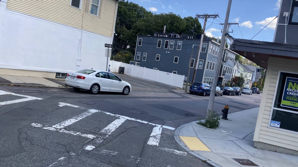
A side street!
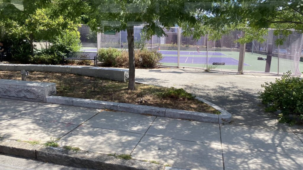
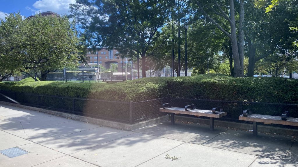
A tennis court!
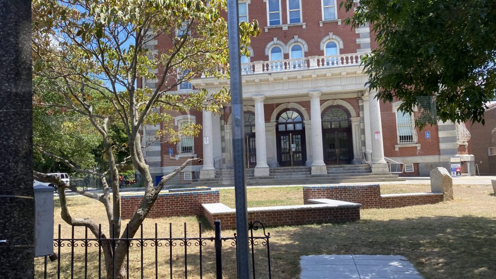
The local community center
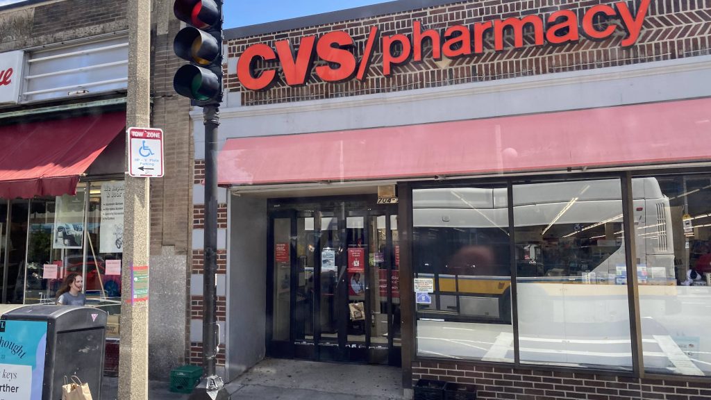
Ah yes, the Woonsocket influence reaches out to here, too!
Looks kinda decrepit

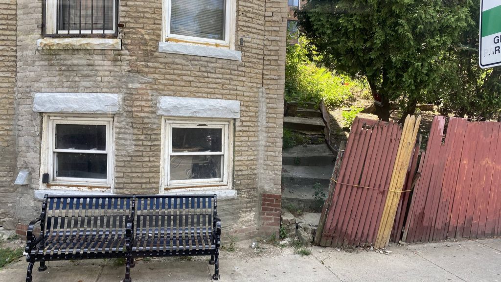
The area was largely residential, and this extended to even as we passed a pretty sizable animal hospital and, eventually, the V.A. Medical Center. This would also mark where the E branch presently ends.
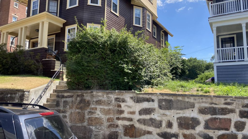
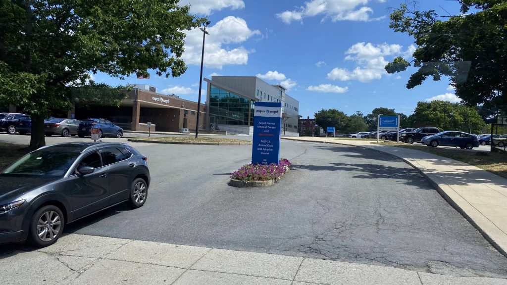
Houses!
The animal hospital
Near the VA
The VA medical center!
Heath Street!
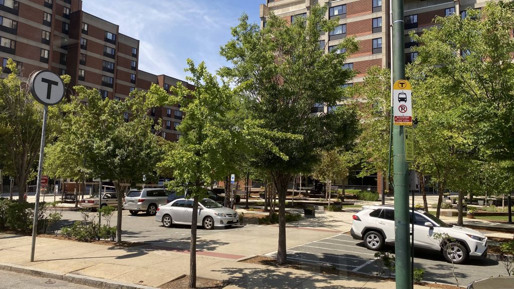
Near one of the Green Line stops

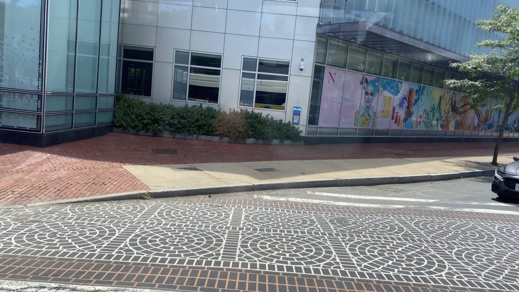
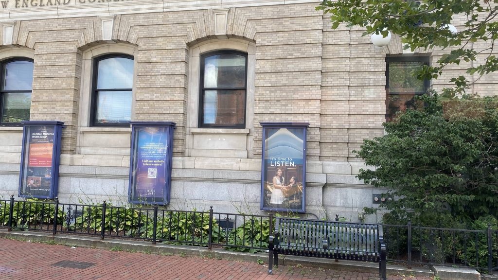
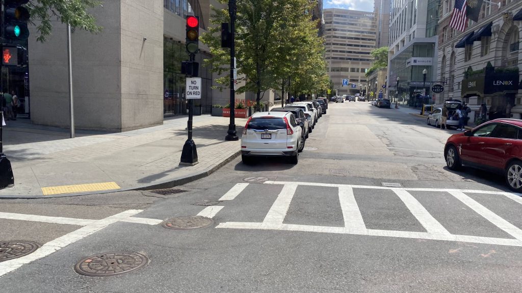
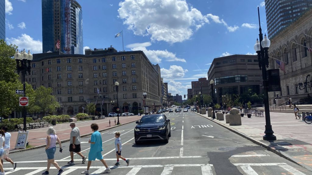
We then kept going down Huntington Avenue, passing all the construction happening on the Green Line. Houses and businesses largely lined the streets of Mission Hill. We’d also pass through the general area of various schools, including Emmanuel, Northeastern, and Wentworth. We’d also pass by the Conservatory of Music and Symphony Station. We then turned left down Belvidere Street (not part of the route?????) and onto Boylston Street, passing the Sheraton as well as Hynes CC. We’d also pass the Prudential Center and Copley’s Green Line station (which I think is why we detoured, as we are bustituting the E branch as of me riding this). We’d then turn right down Clarendon Street and, eventually, make our way into the backside of Back Bay Station into the busway (Front Bay?)
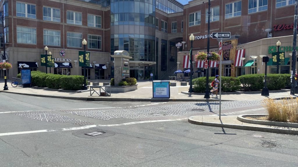
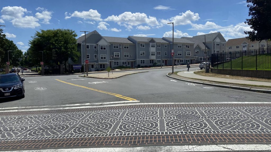
Stop & Shop in Mission Hill
Not very dense!
A ball field, for one of the nearby schools
Northeastern, I think
The Conservatory!
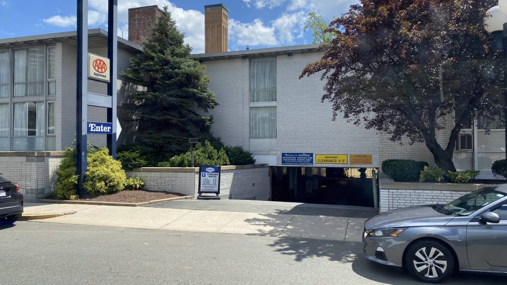
AAA approved?!
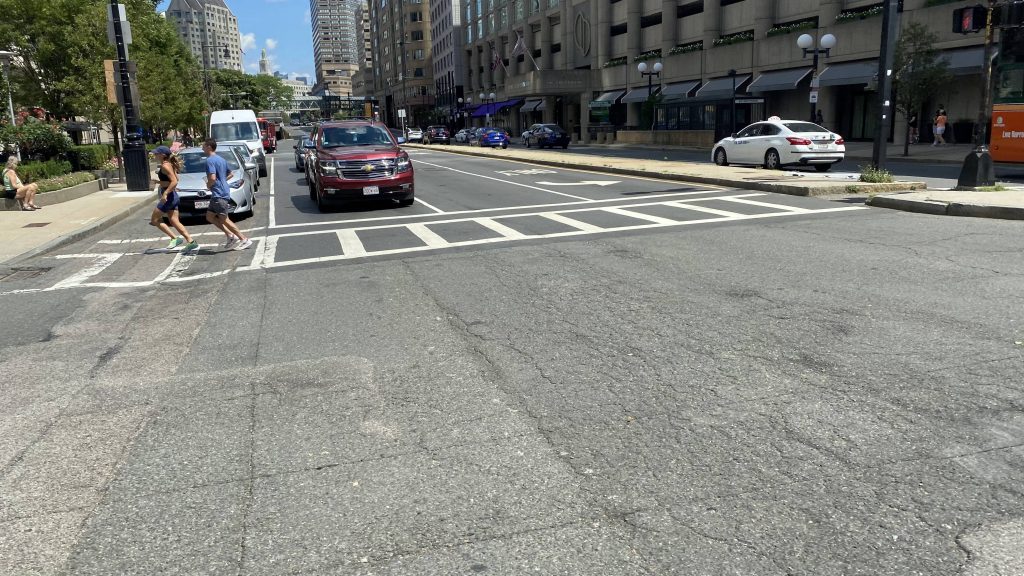
Turning right!
This looks weird
Hynes!
Some side streets in Back Bay
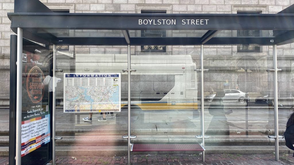
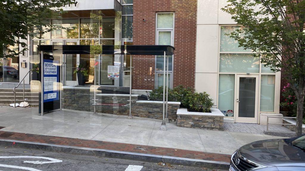
Your standard MBTA bus shelter
Copley Square!
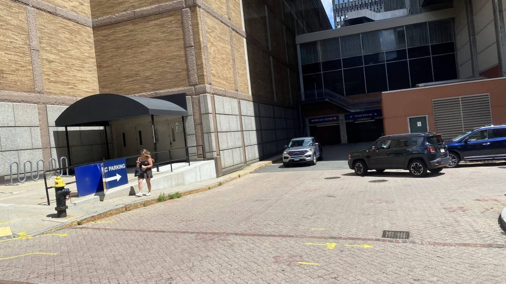
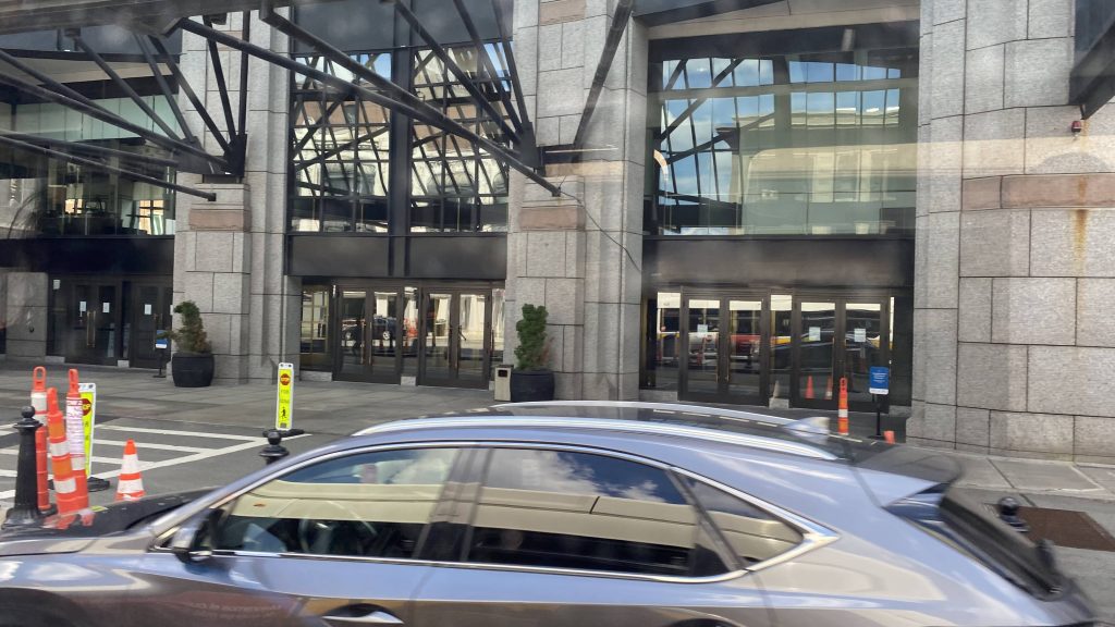
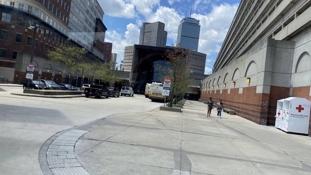
The busway at BBY!

The good: It’s a very well utilized route! It’s definitely up there in ridership, I think, at least if my trip was to go by. It was definitely busy. It also serves as an alternative to the Green Line’s E branch (with slightly more capacity, should bendy buses be used!), should it be out of service (like today!) It’s also a decent connection between two subway stations as well as an Amtrak station.

The bad: …what? I got nothing here. I guess, the fact it isn’t 100% bendy bus? Yeah, I don’t know.

Nearby points of interest: A lot. You’ve got the many schools on Huntington Ave., Copley Square (& the associated shopping center), the Prudential Center, Back Bay Station, and the Arborway is next to Forest Hills. There’s also the various shops lining the streets of Mission Hill, too.

Overall, I like this route. It’s definitely a near-10/10. However, sometimes the capacity of the 40ft buses can raise some eyebrows, and as such it’s not a 10/10 for me.

Rating: 9/10
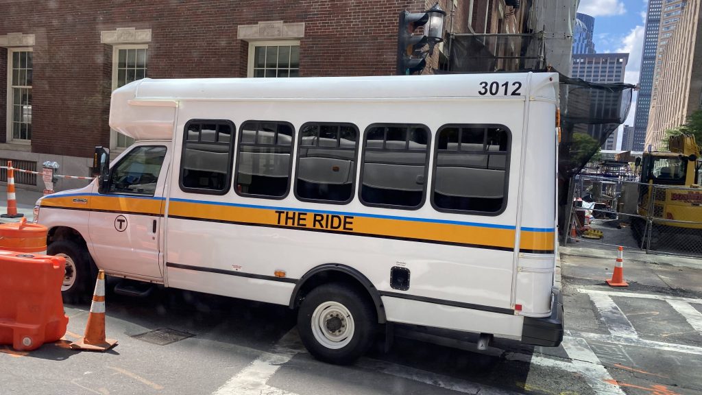
It’s not just a ride, it’s THE ride!

Riverside (Green Line)

Ah, Riverside. This area of the Green Line is what I call the “scenic part”. Why? Well, it’s about as far out on the Green Line as one can go! In fact, we’re butting up right against the edge of the I-95/128 ring! Well, let’s look at Riverside.

Getting off the train

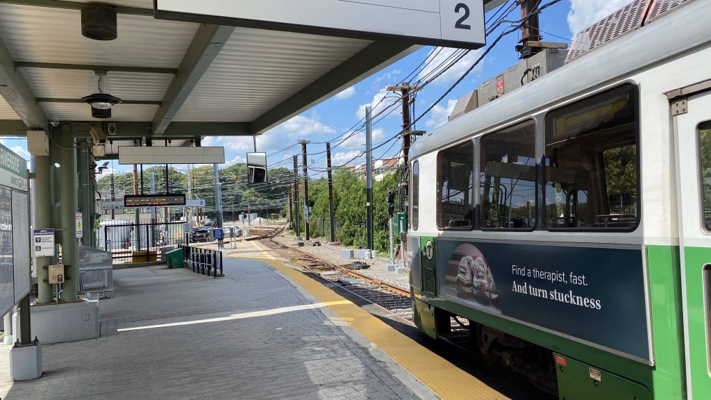
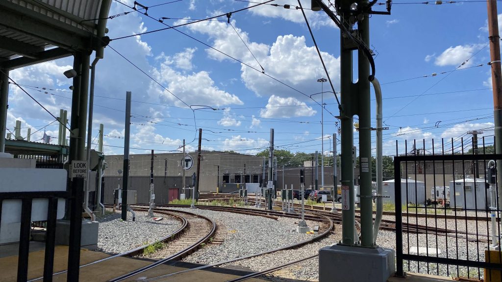
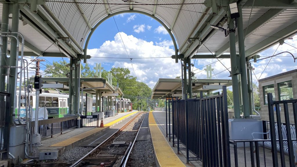
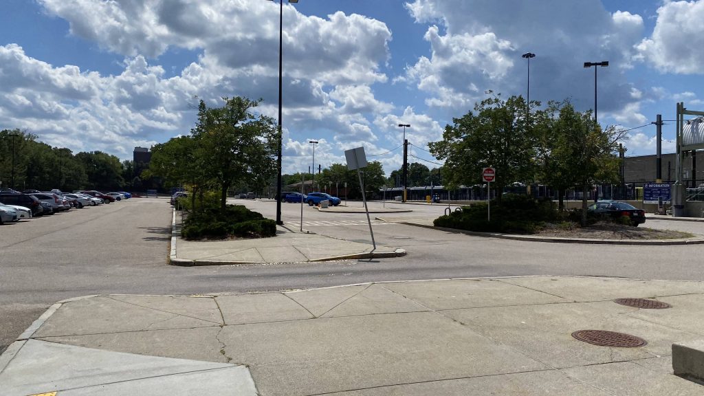
So, the platforms are sizable enough. It’s nothing much to ring home about, but it’s a decent size. Just past the platforms are also the Green Line maintenance facility, so there’s that. The Museum of Science has a to-scale model of the Solar System, and it just happens that Pluto is all the way out here as well. I didn’t see it here, though, but maybe that’s me not looking carefully enough. Parking is also sufficient, with this being a park & ride lot, there’s a decent amount of spaces. As for transit connections, one has an express bus route into downtown Boston.

The Green Line yard and facility!
Looking to Govt. Center and points west
That’s a lot of parking!
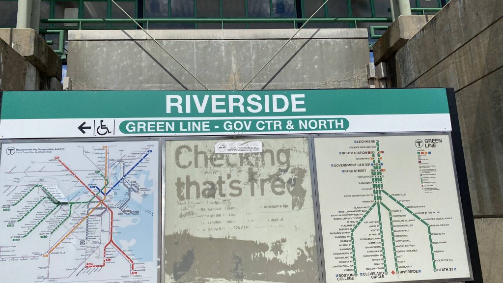
Helvetica bold! (with an outdated map)
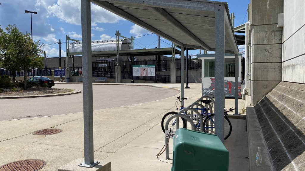
This station is accessible! And with bike racks!
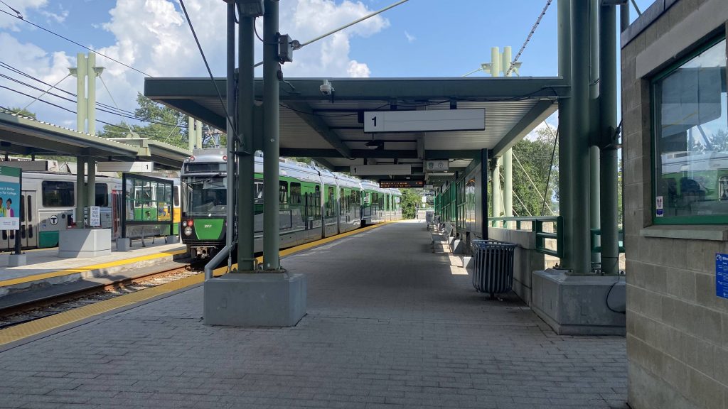
The eastbound platform (& a Type 9?!)

The good: It’s a decently-sized park & ride! Even on a Sunday, it’s decently utilized. Furthermore, it’s also cheaper to take the Green Line from here, than to utilize Auburndale’s Commuter Rail station ($2.40 vs. $7) going into downtown Boston. Plus, this station just has a charm that I can’t get over. Maybe it’s the sense of tranquility this end of the Green Line has that’s getting to me.

The bad: It’s a bit of a ways out. Like, it’s about a 50 minute ride to get to Boylston and Park St. Aside from that, I can’t really think of a lot that would be wrong with this station.

Nearby points of interest: Not a lot, with this being a park & ride. I mean, there’s a few country clubs along with Lasell University.

Transit connections: Green Line (D)
MBTA bus (558)
MWRTA (Rte. 20 Shuttle, MassBay Riverside Shuttle)

Overall, as a park & ride, I’d say this is definitely an example other stations should follow. It’s got plenty of parking, has bike racks for those coming in via bike, and it’s got bus connections as well. Plus, it has a to-scale size of Pluto, too!

Rating: 8.5/10

Hyde Park (MBTA)

Hyde Park is a pretty decent neighborhood. I’m not all too familiar with it, but there’s just an air of peace and safety that I feel with the area. Besides, it’s also got three train stations, one of which I’ve already covered here! So, let’s look at the second of three train stations and see how well or poorly it stacks up.

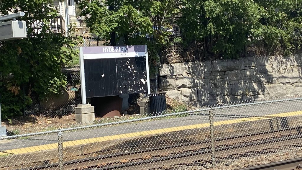
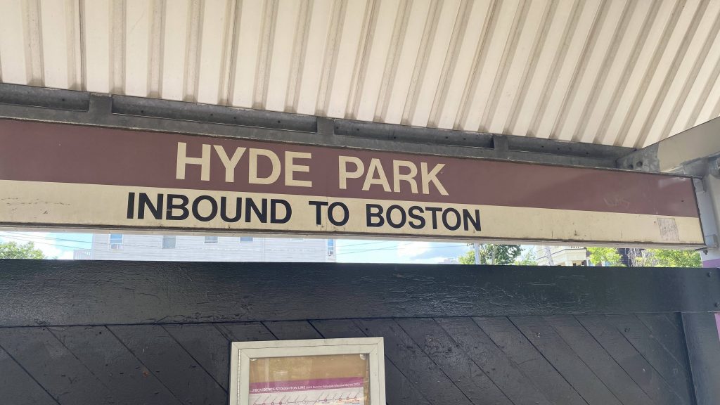
That’s not Helvetica Bold!!!

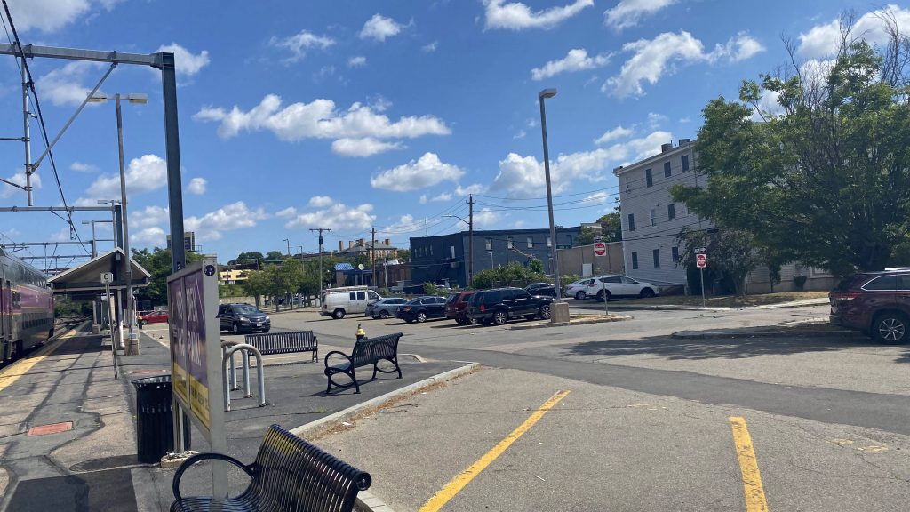
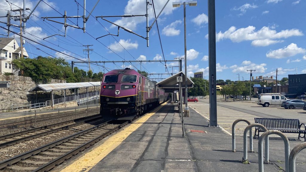
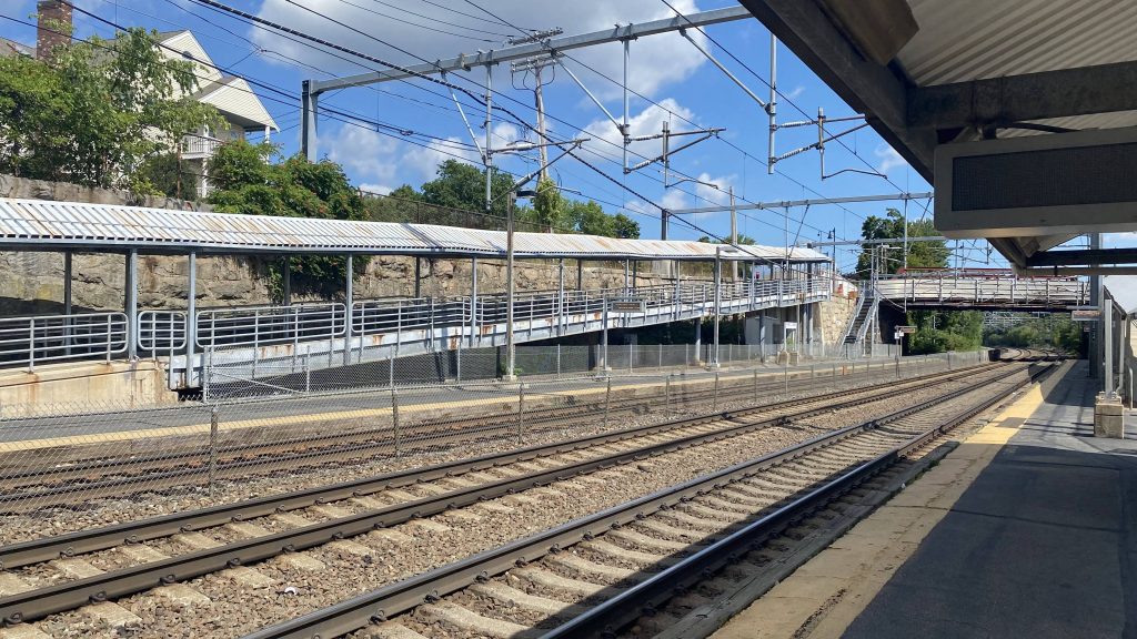
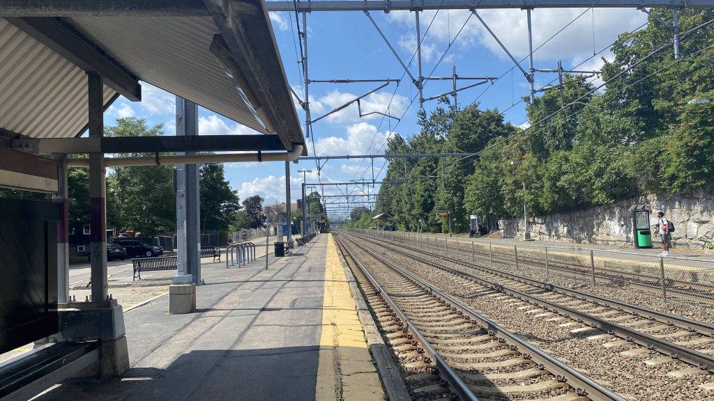
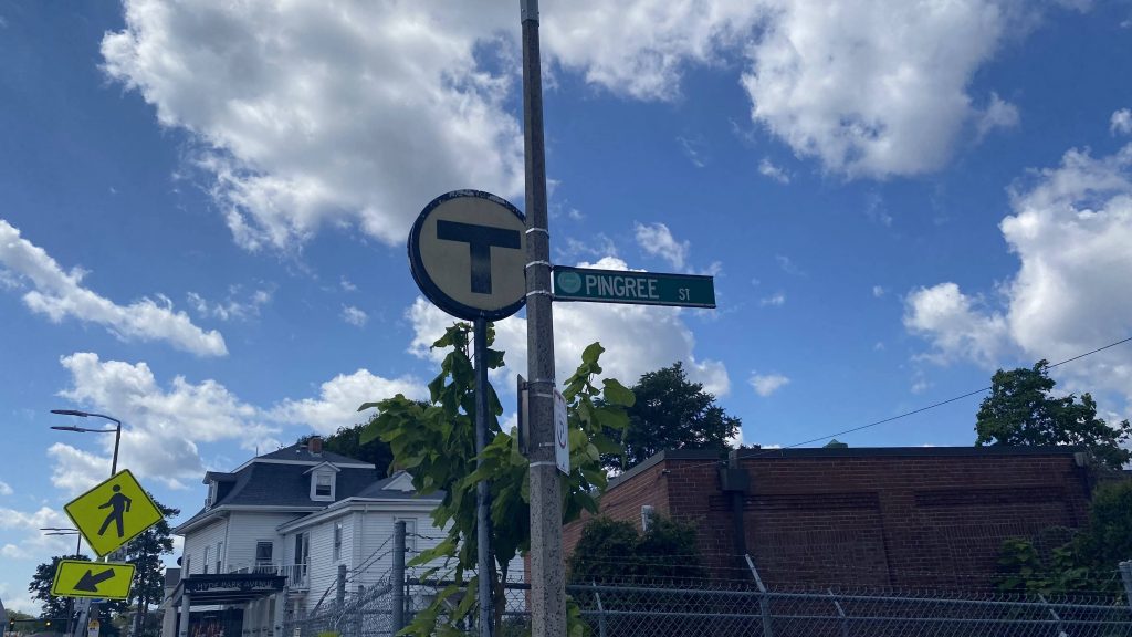
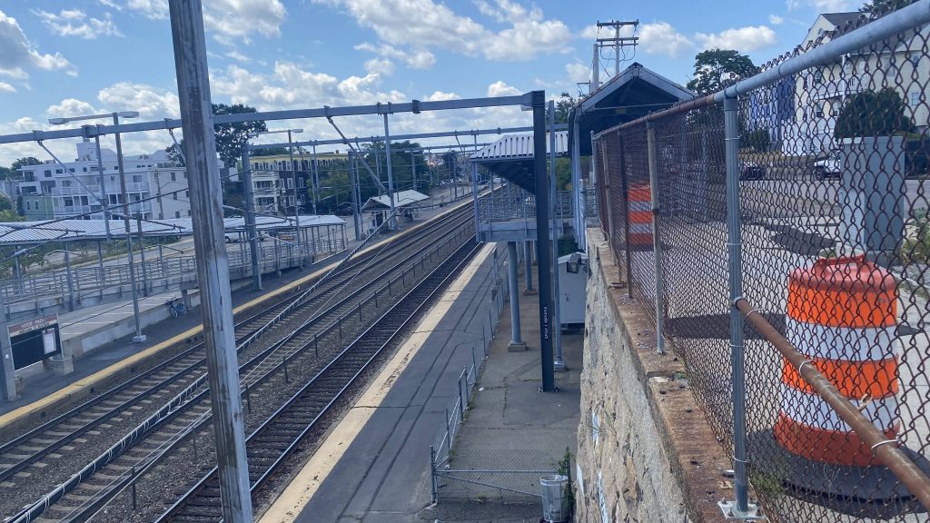
So, getting off the platform, the mini-high is at the far end of the platform, away from where one would realistically be arriving, if they need accessibility. At least it’s sheltered though. However, there’s rusting. A lot of rusting. Like Jesus Christ, they really took on a note from Readville and made it worse. As for the ramps themselves, aside from the fencing and roofing rusting like crazy, it’s nothing special, other than that they’re long. There’s also a set of stairs at the intersection of River and Business Streets, and Gordon Avenue. Parking, though, is plentiful. As for access to the lot, the big MBTA sign at the intersection of Hyde Park Ave. and Pingree St. should be enough a hint.

That’s a lot of parking!
So long!
There we go! Helvetica bold!
The ramp heading to the outbound platform
Looking southbound down the Southwest Corridor
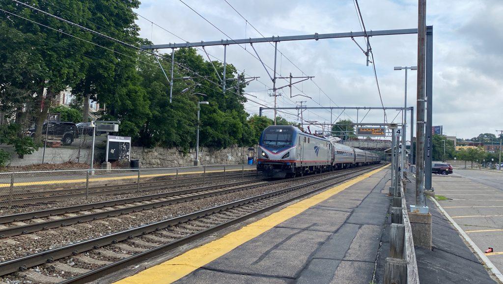
Oh, hi Amtrak!
The MBTA sign

We also had an “oh shit” moment, where some kid had the audacity to attempt to catch a basketball that bounced onto the track. All while the “train approaching” warning was going off. No, he did not get hit (thank freakin’ God), however it was very reckless.

Looking down the stairs
Oh, it’s the MBTA again.

The good: If you’re heading outbound and you happen to be close enough to the area, it isn’t too terrible a place to be. However, there are some major caveats which I will touch on later.

The bad: This station is kind of a niche use case. Some Franklin trains (midday and early evening) will stop here heading outbound, however none inbound. For the Providence/Stoughton Line? Every weekend train stops here (every 2 hours), however a handful of weekday trains (mostly to either Wickford or Stoughton) stops here as well. But, if you’re on one of said trains, it’s oftentimes cheaper to get off, walk a little, and go inbound to South Station from Fairmount ($2.40 vs. $6+). Also, since it’s a transfer to the 32, can we get a CharlieCard machine here?

Nearby points of interest: If you’re a railfan, this station isn’t the best of spots to railfan at. However, the 32 will bring you from here to Readville. There’s also residential on one side, with Cleary Square and associated businesses on the other.

Transit connections:
Commuter Rail (Providence, Stoughton, Franklin, Foxboro)
MBTA bus (32)

Overall, I’m not a big fan of this station. I don’t mind Hyde Park as a neighborhood, hell I think it’s a pretty decent neighborhood. I just feel that it deserves much, much better of a train station.

Rating: 4.5/10

Bourne (CapeFlyer)

Alrighty, a CapeFlyer station, and the only MBTA station outside my jurisdiction. Now, am I going to visit this station just to write a blog? Nah.

A low-quality JPEG from Wikipedia.

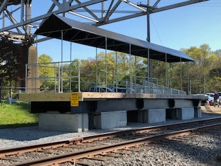
Yup, it’s just a sheltered mini-high. That’s it. No low platform, no nothing. There’s a ramp though! So, I guess in a sense, it’s a high-level version of Windsor Locks. There’s some parking, but not much, and not much in the way of transit connections. As for the location? Yup, it’s directly underneath the Bourne Bridge. Does CCRTA stop at this station? Not really.

The good: It’s a (very limited) link between Bourne, downtown Boston, and Hyannis. I’m sure there’s probably a few tourists who’d get off here, but it’s largely a kiss & ride station.

The bad: It’s literally just a mini-high with no low. It’s also not a good park & ride, and it’s directly under the Bourne Bridge.

Transit connections:
CapeFlyer
CCRTA (Falmouth Shuttle)

Nearby points of interest: Nah.

Overall, I mean it’s not too terrible. If it were a normal MBTA station, I’d say it has potential. However, I doubt the T would extend the Middleborough Line out this far. And truthfully, it’s a shame since I legitimately wish it wasn’t so difficult to go out to the Cape without a car.

Rating: 3/10

Mystic (Amtrak)

So, coming off the heels of RIPTA and a Miles meet in Boston, along with some MBTA shenanigans, let’s settle down in a more quiet, slightly more remote town. Ooh, why not Mystic?

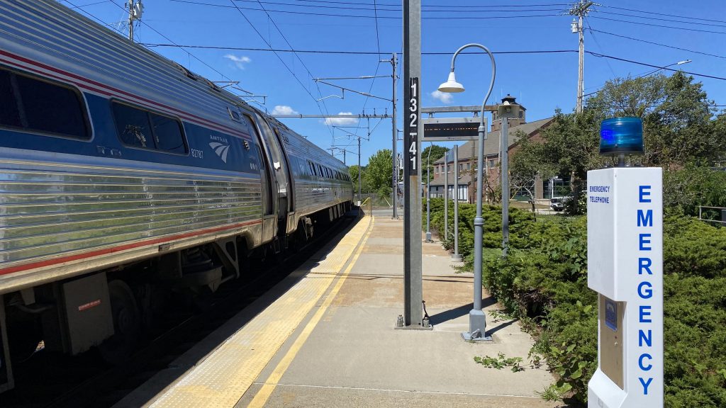
Water tower and station signage!

Alrighty, so because this is the first station in Connecticut, I got nothing to compare it to, and as a result, I’ll be using Westerly as my point of reference primarily (for context, that got a 3.5/10). Is Mystic as bad as Westerly? Is there any saving grace? Or, am I going to be denied access to track 2 due to a southbound Regional or Acela at the wrong time?

Deboarding the Regional

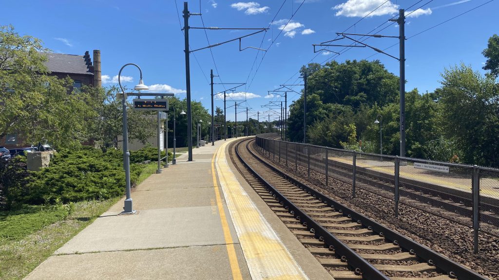
So, getting off the Regional, immediately I notice the station doesn’t have level boarding, or even a mini-high, for that matter. Supposedly there’s a wheelchair lift, but I don’t buy that for one minute. The station building is a cafe that’s open 7 days, 8-2, and houses the Quik-Trak machine. I think it also has a restroom, but don’t quote me there. Wait, what’s that right ahead? Oh no…

Oh no.
Oh dear god please no.

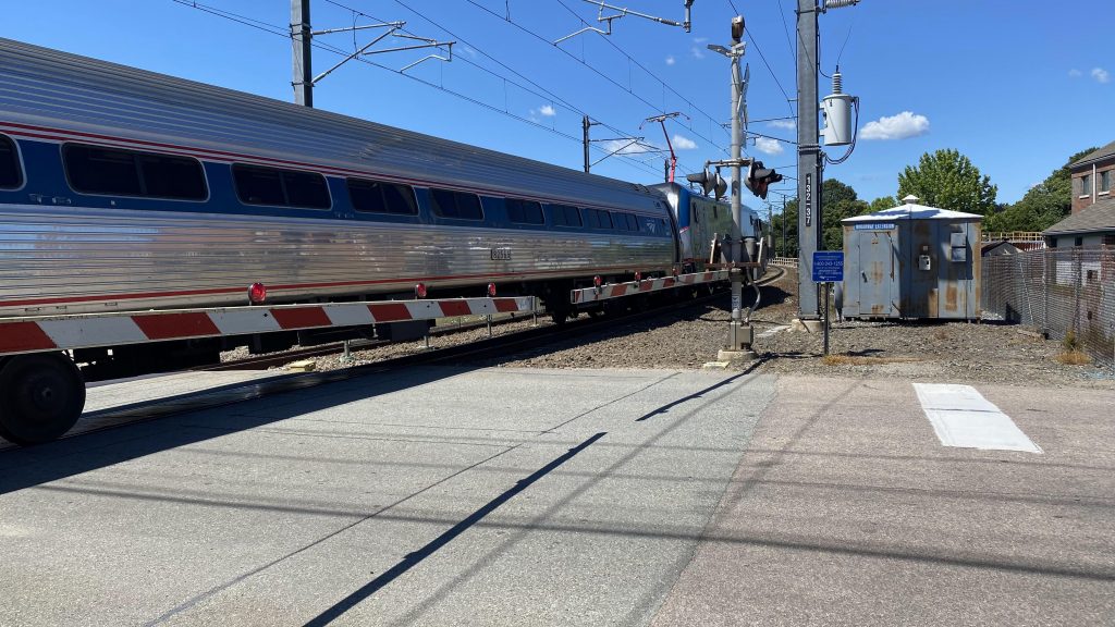
What is that? No……not a grade crossing! THERE ARE ELEVEN OF THESE ALONG THE NORTHEAST CORRIDOR, ALL IN CONNECTICUT. THE ACELA RUNS DOWN THESE TRACKS. THESE ELEVEN GRADE CROSSINGS ARE WHY THE ACELA RUNS AT A FREAKIN’ SNAIL’S PACE OVER HERE. Never mind that, it’s a safety issue! What if a wheelchair gets caught on the tracks?! Well, apparently this is how you get to track 1 (northbound).

Parking!

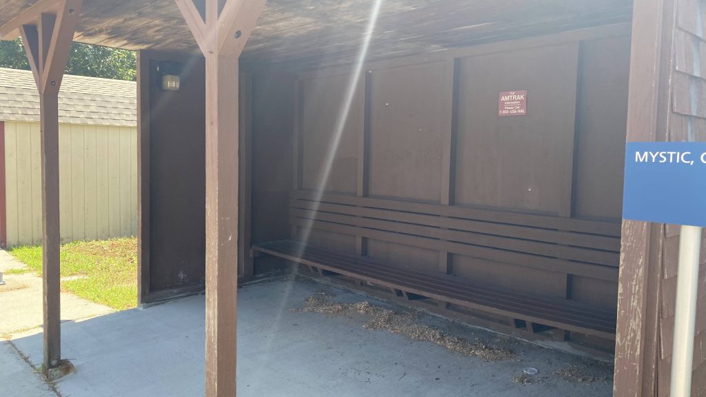
There aren’t many parking spaces, but this station isn’t heavily used, either. Some spots are reserved for the cafe (which is, of course, a separate entity), but from what I’m aware, what’s pictured is all of the Amtrak parking. There’s a canopy from the cafe where southbound passengers can wait, should it be raining or snowing, while northbound passengers have what’s essentially a prefab shed that one can buy from Home Depot or Lowe’s. Also, why is the southbound platform much longer than the northbound one?

The station building
Looking northbound. Look at how long the southbound platform is!
And southbound, past the gates!
The shack
Oh, a glorified Regional.
The Quik-Trak machine inside the station building. And, look, brochures! Admittedly, I didn’t notice them earlier.

The good: It’s a small town train station, and I like the feel of these! Plus, Mystic Seaport (and Old Mistick Village to the north) are both major tourist destinations in the area, so it’s good that the train station is close by. Furthermore, SEAT (the local transit agency) runs 6 days a week in the area with the Stonington HOP microtransit service. Review on that coming eventually.

The bad: Really? Only 3 trains a day in either direction stopping here? If I did this on a weekday, I wouldn’t have gotten home until 10pm rightabout. Furthermore, the low-level platform without a wheelchair lift in sight is a major “oh no”. If there is not, in fact, one, screw you if you need accessibility. They really couldn’t put a mini-high near the street? Thirdly, the grade crossing. That’s a “screw you” if you’re in a hurry, because you could very well run the risk of missing a train due to it coming down at the last minute.

Nearby points of interest: I spent the day in Mystic Seaport, and got a lunch at Mystic Pizza (thanks mom, for giving me $20 to do so!). If you utilize SEAT’s Stonington HOP, you can get to other places in Stonington like Mystic Aquarium, where you can connect to the 108 to Foxwoods and New London.

Transit connections:
Amtrak (Northeast Regional)
SEAT (Stonington HOP)

Overall, I really like this station. I really do. Even in spite of its shortcomings, this is definitely a personal favorite of mine, and I feel like this is what Westerly should’ve been. However, I’d rather have seen a tunnel or bridge/ramp instead of hailing Mary across the tracks for getting to the other side. I’d also personally throw up a mini-high somewhere towards either end of the platforms.

Rating: 5.5/10 (but the train ride to/from is a 10/10 in scenery!)

BONUS: pictures from my journey that aren’t train-related!

Mystic Seaport!
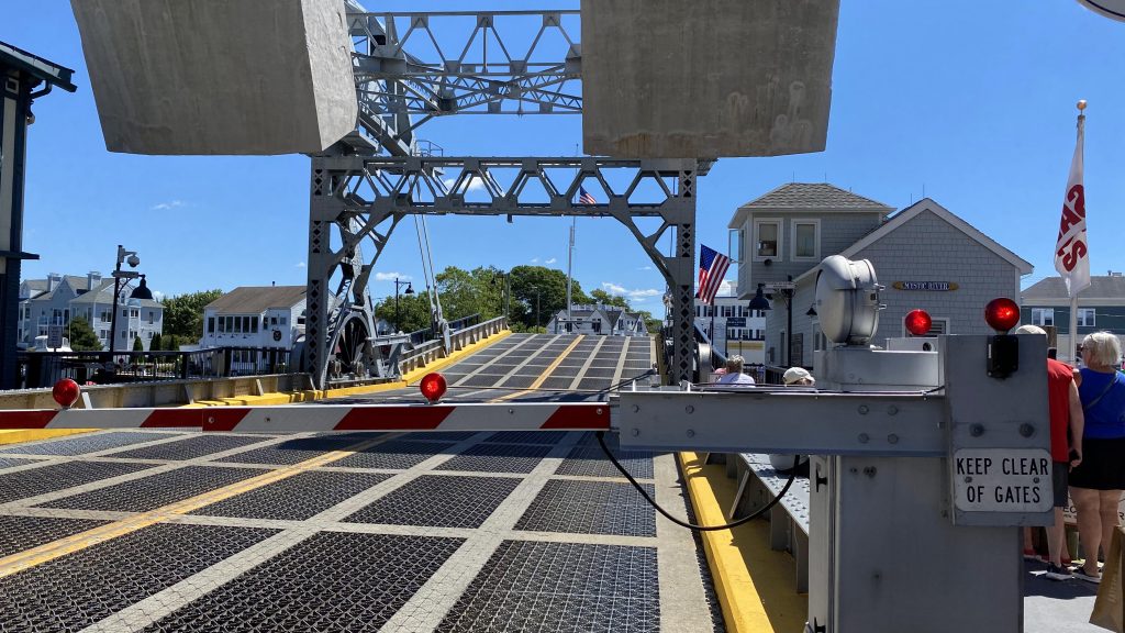
Up goes the road!
A slice of heaven indeed. 10/10, would recommend.
Lunch!
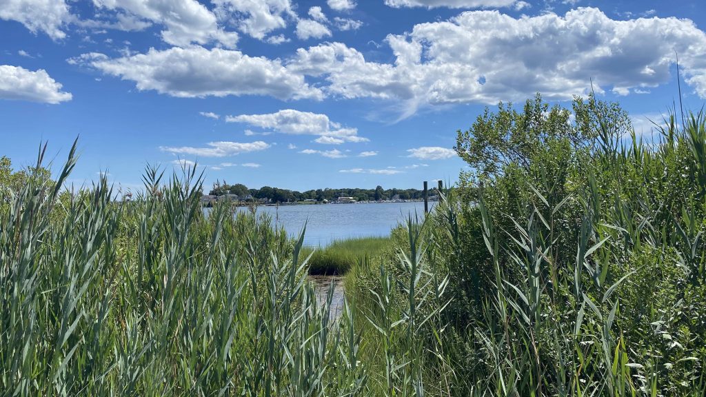
Peeking into the ocean at the end of the Broadway extension
God, what’s with the CT section of the NEC being so darn scenic?!

204 Flex (Westerly)

Alrighty, so what do you do if you fail to catch the 95X in the early morning and can’t afford $8 for an Amtrak ticket? Why, you ride this Flex, of course! Let’s take a look.

WARNING: copious amounts of colorful language and caps ahead. Read at own discretion.

My lunch

So after eating a calzone for lunch at a local bakery, I sit there waiting for the 204 Flex. And I wait. And wait. And wait. Eventually I see a Flex van pull in and- what???

WHY THE FUCK ARE YOU GOING IN REVERSE BACKING OUT OF THE PARKING LOT?!

NO! NO! PLEASE NO! WHY ARE YOU GOING IN REVERSE, AND LEAVING THE PARKING LOT?! THERE’S SOMEONE WHO WANTS TO FUCKING RIDE THE 204 WAITING RIGHT HERE!! AND TO PROVE I’M NOT BEING A KAREN ABOUT THIS, HERE’S THE TIMEPOINTS WITH SCHEDULES.

12:15 PM!!!!!!! I WAS HERE AT 12:15 PM AND IT JUST NOPED THE FUCK OUT!

YOU CAN’T JUST NOPE THE FUCK OUT OF A BUS STOP LIKE THAT, WHEN YOU’RE LITERALLY THE ONLY WAY IN AND OUT OF WESTERLY OUTSIDE THE MORNING AND EVENING RUSH HOUR COMMUTES! THIS IS WHORE SHIT TO THE HIGHEST DEGREE, AND QUITE POSSIBLY EVEN WORSE THAN THE 54. YES, I’VE SAID IT. THIS IS EVEN WORSE THAN THE BUS ROUTE FROM HELL. AT LEAST THAT COMES REGULARLY. THIS THING ONLY COMES, AS YOU CAN SEE, THREE TIMES A DAY TOTAL, AND I WASN’T ABOUT TO FUCKING WAIT UNTIL 2:50 WITH A REAL RISK OF MISSING THE 3:40 INBOUND RUN OF THE 95X. UH, NO THANKS! LIKE, THIS SHIT IS INEXCUSABLE. I’M TALKING “WHOOPS, I ACCIDENTALLY CREATED PLUMBING ISSUES AT WALMART WITH MY COLLEAGUES” LEVELS OF INEXCUSABLE.

Now, let’s see where it WOULD go, if it showed up. From here, it’d get on US Rte. 1 and begin running express to Westerly, which takes a while with how remote it is. In between, much of the northern part of the city, along with the Walmart Supercenter, is in the Flex zone. The last timepoint (first, rather) is Westerly Station, where one can transfer to the 95X and 301.

The good: It’s a mission-critical link between Westerly and the rest of the state outside the morning/evening commutes!

The bad: IF THE FUCKING BUS DOESN’T SHOW UP, YOU’RE SCREWED.

Nearby points of interest: The Stedman Center and Salt Pond Plaza, along with Westerly primarily.

Overall, WHY IS THIS NOT A FIXED ROUTE RUNNING REGULARLY?! MAYBE, JUST MAYBE, IF IT WERE, THEN NO-SHOWS WOULDN’T BE SUCH A MAJOR FUCKING ISSUE!

Rating: 2.5/10

203 Flex (Narragansett/S. Kingstown)

Alrighty, the second to last “extra” content for RIPTA: the 203 Flex. This one largely mirrors the Narragansett routes, so here we go.

Onwards!

So, I boarded at URI and went to Salt Pond. Not a crazy route. And, it happens this mirrored the 69 as well. So, we went down Rte. 108 through Wakefield and Peace Dale, just like the 69. There’s not really much to it since I’ve done all the routes, so I’ll talk about the zone itself. There’s four scheduled stops at Memorial Union (URI), Salt Pond, the Wakefield Mall, and the Oliver Stedman Government Complex (which houses the county courthouse, the DMV branch, upon other things). It also stops at …pretty much every beach, which the various fixed routes also do. Oh, it has weekend service!

*yawns*
Peace Dale yet again
I HATE these flags!
The Wakefield Mall
Salt Pond Plaza

The good: It lets you get to South County Commons and the Stedman Complex, I guess.

The bad: The area is literally covered pretty well in fixed routes, enough so to where one could reasonably make the argument that the Flex is, dare I say, unnecessary. I mean sure, South County Commons and the Stedman Complex aren’t served by fixed routes, but like, nothing says they can’t get a fixed route.

Nearby points of interest: Pretty much all of Narragansett and most of SK.

Overall, why? Just, why? I mean, at least it isn’t the 49.

Rating: 3/10

Wellington (Orange Line)

Alrighty, coming off the heels of a bunch of Green Line stations, we now have an Orange Line station! Wellington? Well, why not?

Helvetica bold!

So, the station is largely linear in nature. You have the busway where all the buses drop people off. There was also a Commuter Rail bustitution when I came here with a friend, so it was more crowded than usual. This ended up hindering my ability to take pictures. However, you have a set of stairs (and I presume an elevator, as it’s an accessible station) going up to a footbridge. Underneath? The Haverhill Line and the northbound Orange Line track. In the mezzanine, a walkway crossing the Orange Line yard can be found, along with CharlieCard machines. There’s also bus schedules for the various bus routes stopping here.

Looking outside
Look, bus schedules!
Wait, the Haverhill Line is single-tracked?
Closed?!
The southbound Orange Line track

The good: This station is clearly heavily used. It’s no Downtown Crossing or Park St., but it definitely felt crowded. However, if headways were normal with the Orange Line, I’m sure it’d be a slightly better situation. There’s also plenty of bus service, and the station layout is largely straightforward. Oh yeah, apparently a Transit Ambassador was letting people into the Orange Line platform for free, likely as part of the Newburyport/Rockport bustitution. For train nerds, you can also see a whole bunch of Hawker Siddlies from the walkway connecting the station to the parking garage, as this is where the Orange Line maintenance facility is.

The bad: I mean, it’s not a very pedestrian-friendly area. It can also get a bit crowded on the Orange Line platform during rush hour.

Nearby points of interest: I mean, there’s a few hotels and shopping centers – if you’re willing to torture yourself.

Transit connections: Orange Line
MBTA bus (97, 99, 100, 106, 108, 110, 112, 134)

Overall, I like this station, moreso than Heath St. Yes, it’s simple, but simple isn’t bad. It’s also largely a straightforward station to navigate with little in the way of making mistakes (e.g. going to the wrong platform can be fixed by simply rotating yourself 180 degrees). It’s also a decent park & ride, but I’d imagine the long walkway can be a pain if you regularly commute to/from here. Oh yeah, apparently an old Hawker Siddley train bursted into flames a week or so before writing this just south of here, too.

Rating: 6.5/10

Various Green Line (E Branch) street stops

Alrighty, so we did Heath Street, what about the stops in mixed traffic? Well….

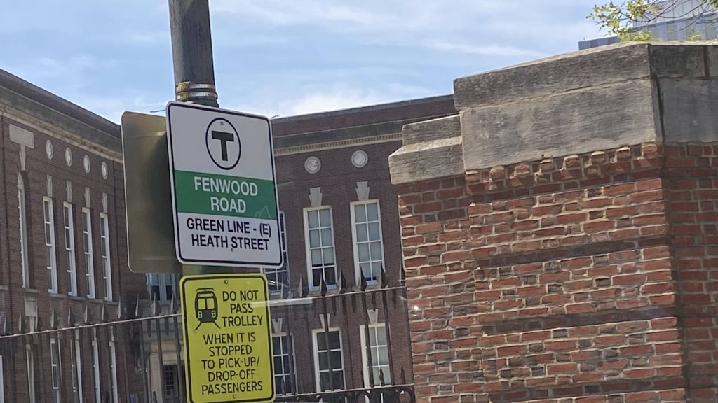
Fenwood Rd.
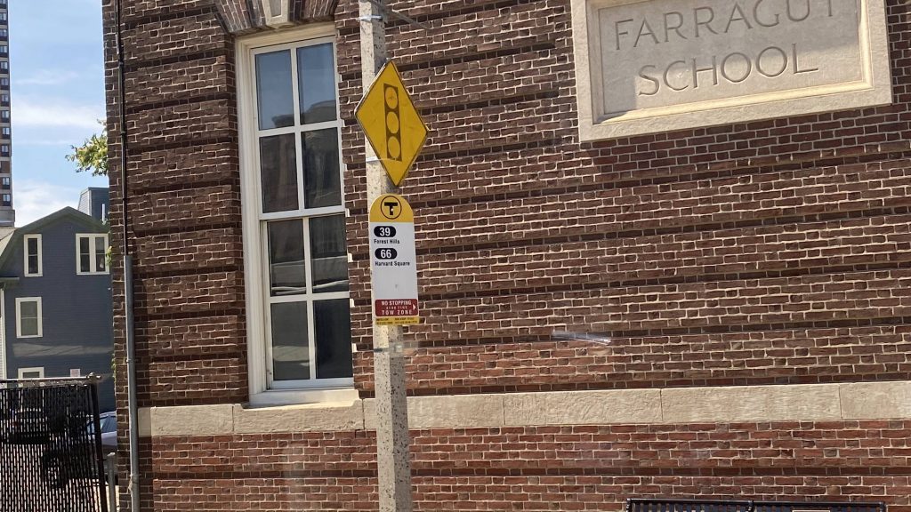
Yup, all these are also bus stops for the 39.
A passing bus (the 66)
Mission Park. What a weird-looking MBTA logo.
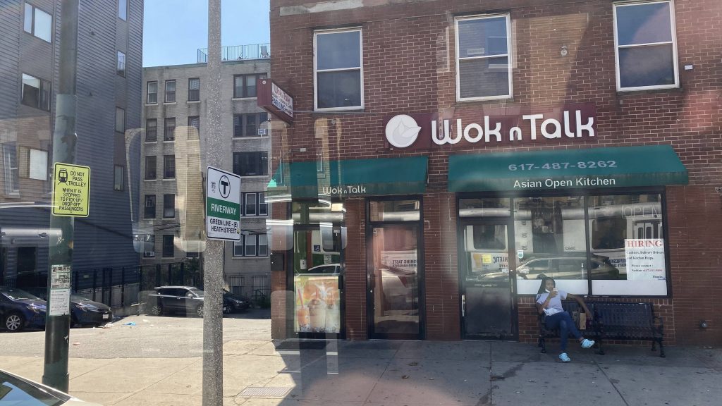
Riverway! Not to be confused with Riverside on the D branch.
A bus shelter!
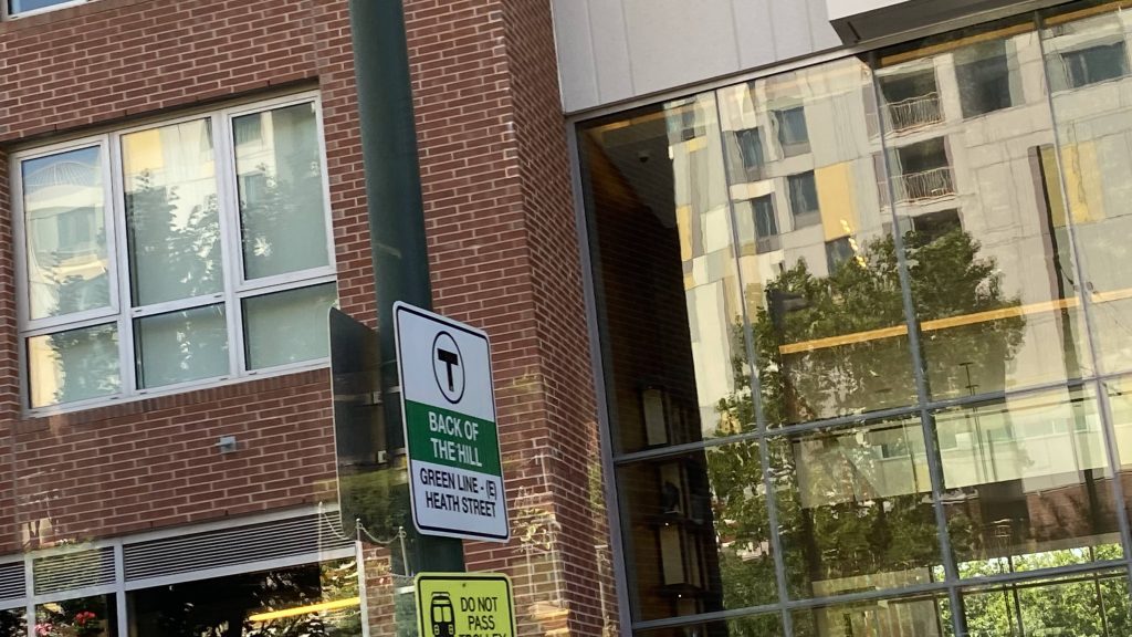
The least-used “station” on the entire MBTA system – Back of the Hill!
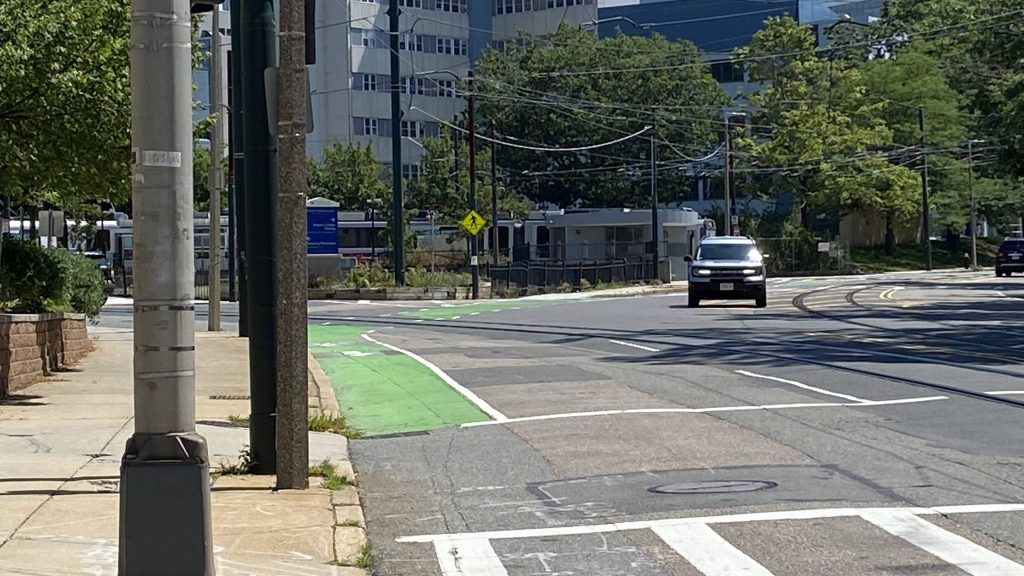
See that? That’s Heath St., 30ft away from Back of the Hill!

Yeah…., not much to be said. They’re all bus signs, with the occasional shelter. At least the 39 will pull over, which the Green Line can’t do. Hell, if the GL could, it likely would’ve prevented the crash that led to someone being (non-fatally, thank God!) injured at Riverway.

The good: Ummm…., it serves a bunch of apartments?

The bad: These stations are unsafe! Unsafe enough to where people have been HIT BY VEHICULAR TRAFFIC when deboarding the Green Line at these stops! That’s even worse than Back Bay’s risk of black lung!

Nearby points of interest: Just use Heath St. instead, if you can. Or, Brigham Circle, if you’re closer to that. Or just use the 39 at these stops instead. I mean, there’s also Back of the Hill if you want to visit the least-used MBTA rapid transit “station”.

Transit connections:
Green Line (E)
MBTA bus (39, 66)

Overall, just, just don’t use these stations unless it’s a last-ditch effort. Or, if you have to, just take the 39 instead, as at least that can pull over to the stop for you.

Rating: 1.5/10

Heath St. (Green Line)

Alrighty, so from one Green Line terminus to another! Let’s take a look at Heath St.

Helvetica Bold!!!

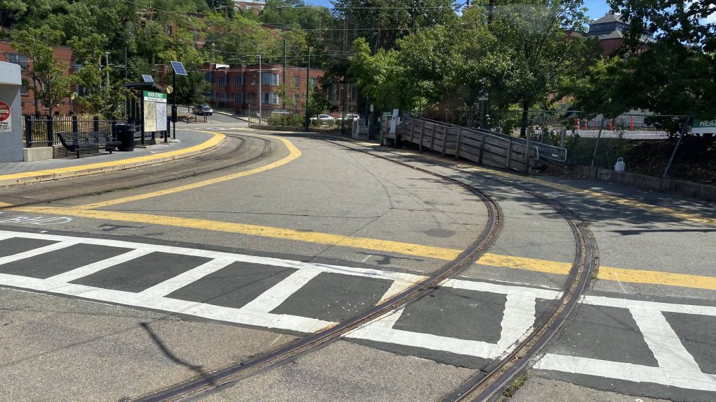
So, the station layout is pretty simple. You have a platform on a balloon loop. There’s also a shelter on one side, and a parking lot in the middle of the loop. Overall, this station definitely follows the KISS principle (keep it simple,silly), and sometimes that’s all you need for a decent enough station. However, all the trains do NOT board/deboard on the side with the shelter. Yeah…

A Green Line train turning around
The parking lot
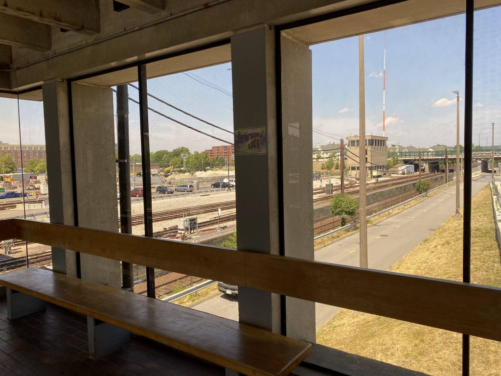
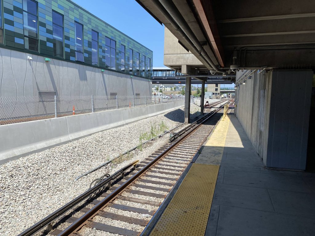
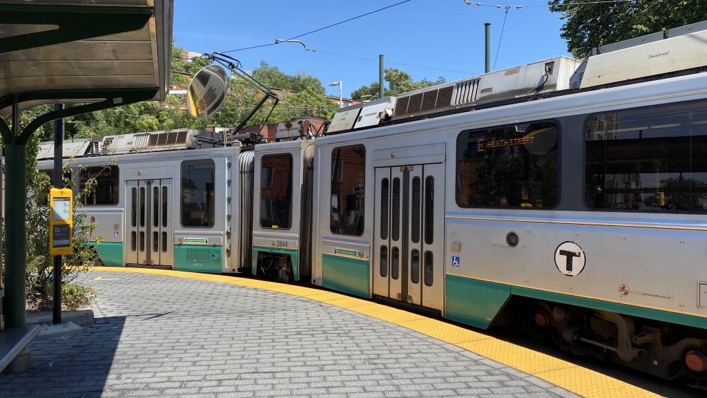
The inner platform for Heath Street with a Type 7/8 duo

The good: It’s pretty close to where people would want to be, with a school and the V.A. nearby.

The bad: I mean, if you’re willing to walk, the Orange Line isn’t too terribly far away (around a mile), plus the 39 being able to bring one to Forest Hills and Back Bay, both of which are also served by the Orange Line. And, this one isn’t a fault of the station itself, but the E branch used to go all the way to Forest Hills as well.

Nearby points of interest: Not much. Just some apartments and the V.A. medical center.

Transit connections:
Green Line (E)
MBTA bus (14, 39)

Overall, it’s not the most exciting station. However, it gets the job done and sometimes, that’s all that’s necessary. There are some annoyances though, as I’ve touched on earlier.

Rating: 6/10