SL4 & SL5 (South Station/Nubian and Downtown Crossing/Nubian) and associated street stops

These two routes are essentially the same, so I’m gonna cover them as one as the sole difference is the last stop. I’ll also be covering their street stops here, as once you’ve seen one, you’ve seen them all.
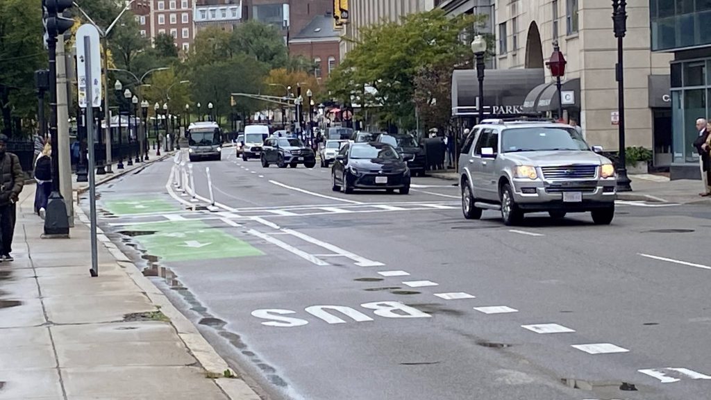
Here it comes, from Boylston!

So the routes begin at either Downtown Crossing or South Station, but I caught the bus at Boylston. Once my friend and I got on, we proceeded to inch down Tremont St., and soon enough, Washington St. Now, the stops included were:
– Downtown Crossing
– South Station (@ street)
– Chinatown
– Boylston
– Tufts Medical
– Herald St.
– East Berkeley St.
– Union Park St.
– Newton St.
– Worcester Square
– Lenox St.
– Melnea Cass Blvd.
– and lastly, Nubian Square.

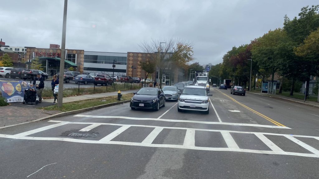
Of course, all these were on Washington Street, with the exception of DTX, South Station, and Boylston. And yes, while bus lanes existed, it’d have been much better for proper busways ala the Waterfront. And we crawled. And crawled. And crawled. Eventually we made it to Roxbury. And eventually after that, Nubian Square.

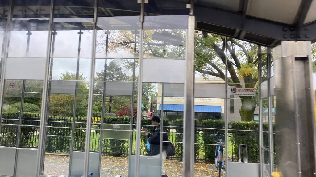
And the “stations”? Just bus shelters with heating. Kinda nice, I suppose. But this is rapid?!
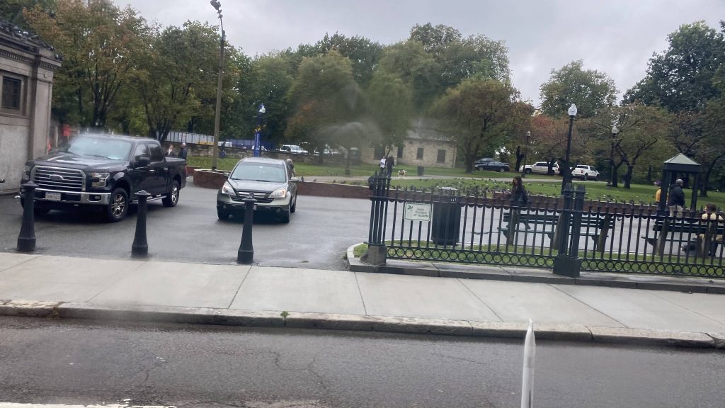
See ya!
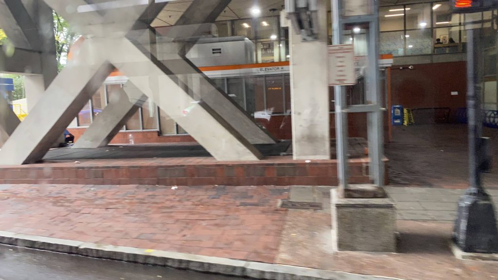
The only other rapid transit – and it’s a medical center
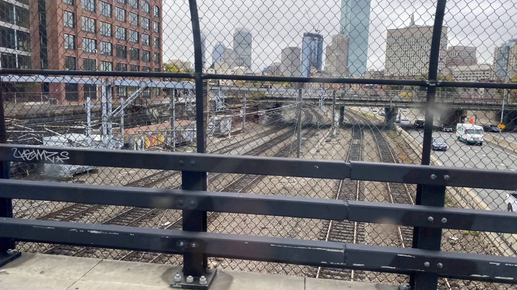
The tracks to Back Bay
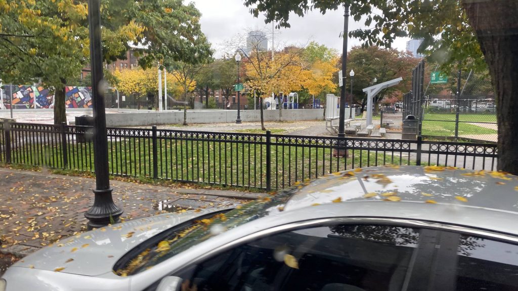
A park
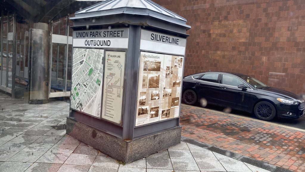
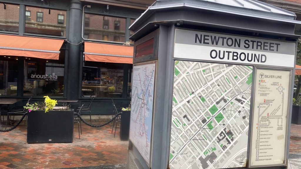
A sign at a stop
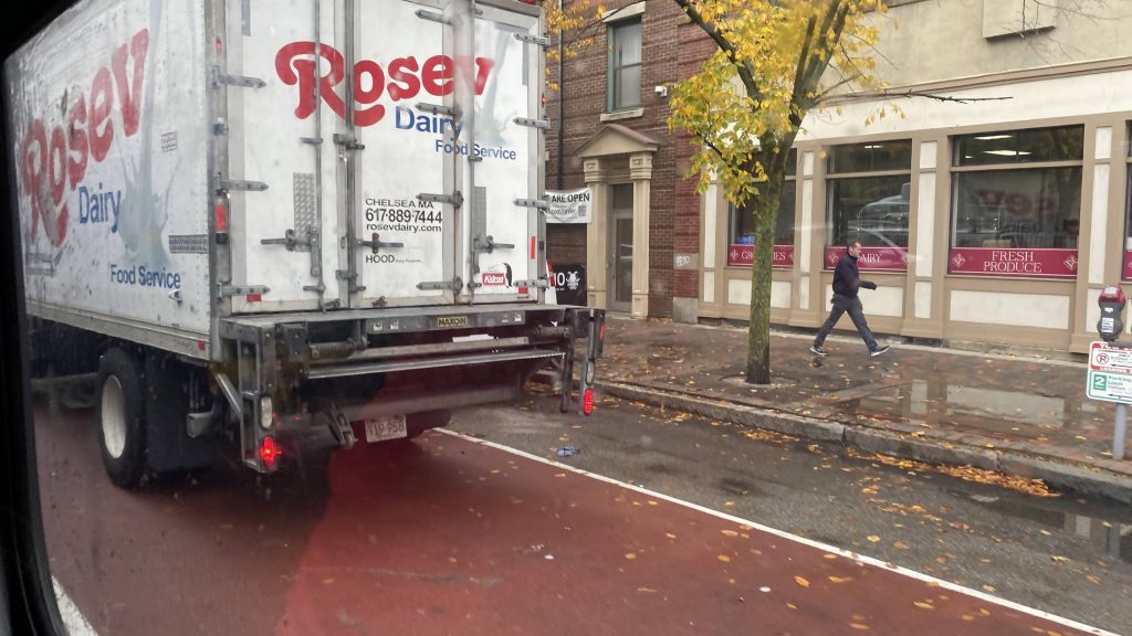
And another one
Nah.
And another one!
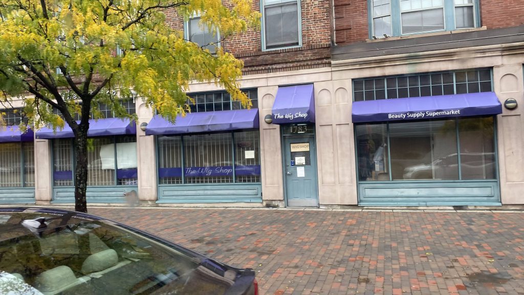
A wig store?
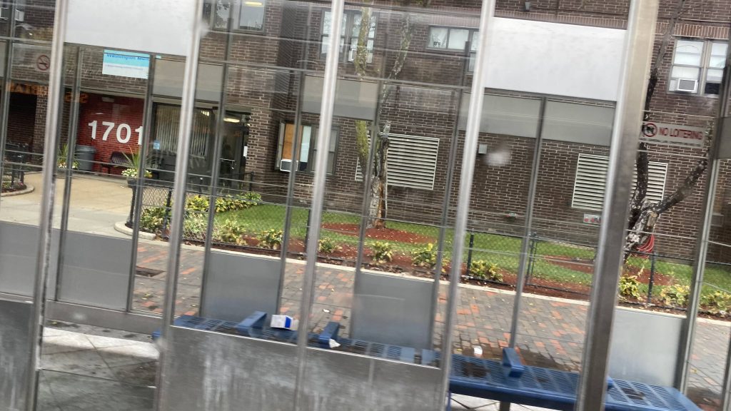
AND YET ANOTHER SHELTER!
And near Nubian

For the SL4 and SL5:
The good: Well, it links South Station and Nubian Square. For the SL5, replace South Station with Downtown Crossing and the Boston Common

The bad: JUST BUILD THE SILVER LINE PHASE 3!!! Y’ALL FUCKING PROMISED EQUAL OR BETTER TRANSIT TO THESE DAMN PEOPLE WHEN THE ORANGE LINE ELEVATED WAS DEMOLISHED IN THE ’80S, AND THIS WAS WHAT THEY GET?! THE PEOPLE OF ROXBURY FREAKIN’ DESERVE BETTER! HELL, THIS SHOULDN’T EVEN BE BUS, BUT RATHER ANOTHER GREEN LINE BRANCH! HELL, IT WOULD’VE BEEN BETTER OFF AS AN EXTENSION OF THE GREEN LINE, REPLACING THE MATTAPAN LINE, FROM BOYLSTON TO ASHMONT, MAYBE TO JFK/UMASS EVEN. It also gets choked up by traffic. So much for “BRT”.

Nearby points of interest: The businesses on Washington St., plus Downtown Crossing and the Financial District. There’s also Roxbury and Nubian Square.

Rating: 3/10

For the stations:
The good: They’re heated, mostly!

The bad: They’re literally just bus shelters. Nothing more. No offboard fare collection either (lmao what, use the honor system like in Union Square???)

Nearby points of interest: See above.

Rating: 2.5/10
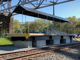
Bourne (CapeFlyer)

Alrighty, a CapeFlyer station, and the only MBTA station outside my jurisdiction. Now, am I going to visit this station just to write a blog? Nah.

A low-quality JPEG from Wikipedia.

Yup, it’s just a sheltered mini-high. That’s it. No low platform, no nothing. There’s a ramp though! So, I guess in a sense, it’s a high-level version of Windsor Locks. There’s some parking, but not much, and not much in the way of transit connections. As for the location? Yup, it’s directly underneath the Bourne Bridge. Does CCRTA stop at this station? Not really.

The good: It’s a (very limited) link between Bourne, downtown Boston, and Hyannis. I’m sure there’s probably a few tourists who’d get off here, but it’s largely a kiss & ride station.

The bad: It’s literally just a mini-high with no low. It’s also not a good park & ride, and it’s directly under the Bourne Bridge.

Transit connections:
CapeFlyer
CCRTA (Falmouth Shuttle)

Nearby points of interest: Nah.

Overall, I mean it’s not too terrible. If it were a normal MBTA station, I’d say it has potential. However, I doubt the T would extend the Middleborough Line out this far. And truthfully, it’s a shame since I legitimately wish it wasn’t so difficult to go out to the Cape without a car.

Rating: 3/10

66X (Beach Bus: to North Providence)

Alrighty, first post in a while! This is what happens when you end up working a poverty job for all of two months – you don’t have money to write about stuff like this. So, the last of the Beach Bus routes, eh? Let’s dig into the sand with this.

Galilee!

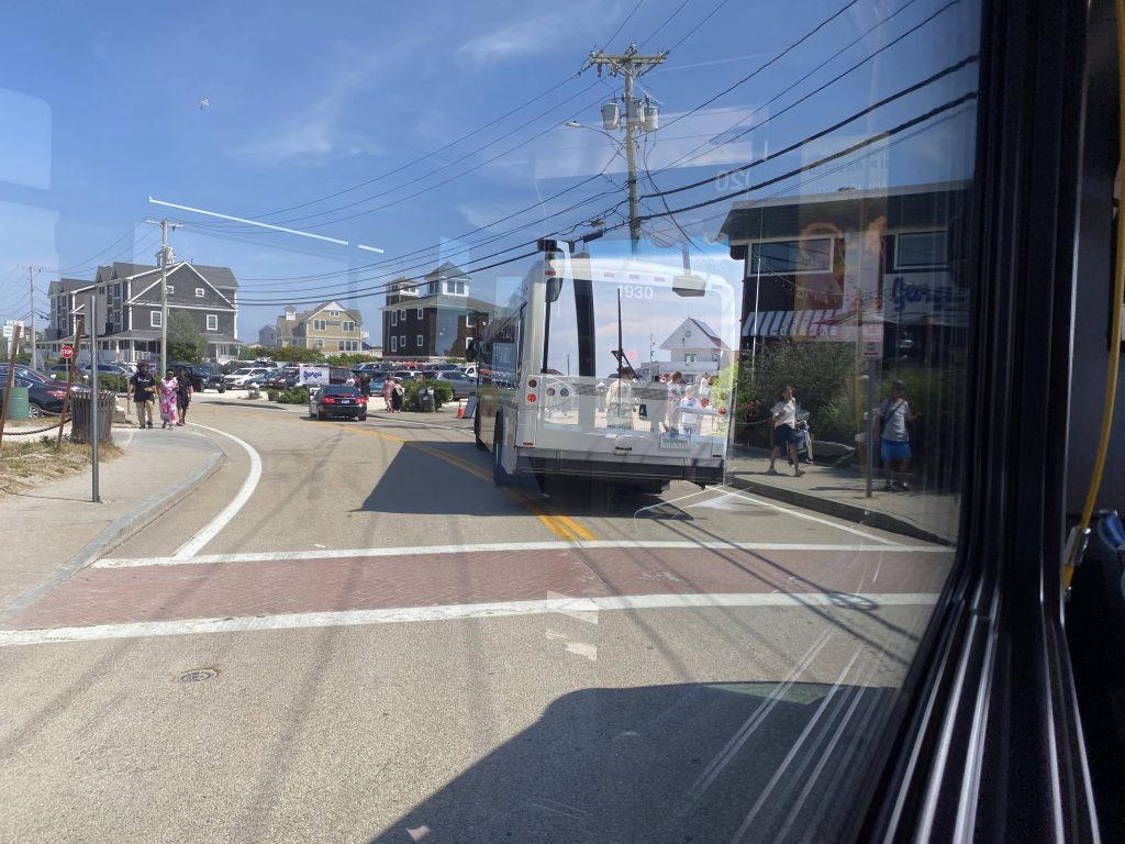
So the journey, just like the last two, begin in Galilee and goes to Salty Brine. Wait, what? People got on! Holy crap, people actually use this! Granted, it’s all of two people but hey, it’s something! So, we progressed, and the driver stopped so a rider can get something that was on the side of a road – a turtle sand pit (you know what I’m talking about). So, after she brought it on and set it by the ADA seating (noone needed them, it turned out), we kept going. Next stop? Scarborough Beach, and OH BOY.

I was on the left side of the bus 🙁
Another Beach Bus in front of us
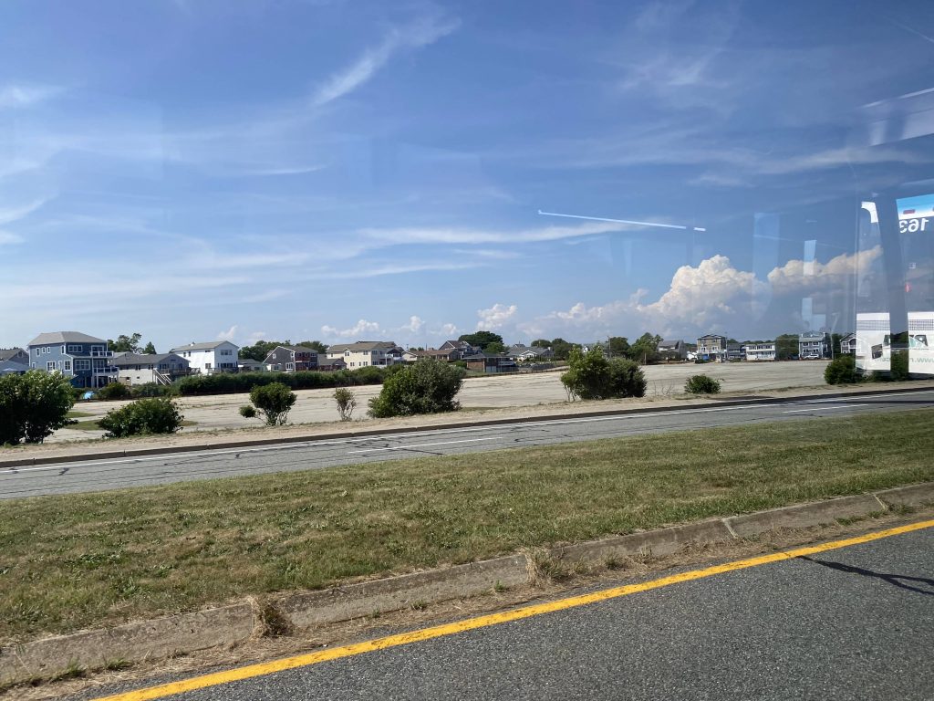
Across from Scarborough!

A LOT of people got on. One of them asked if the driver headed to Kennedy Plaza (yes), and about 12 more funnelled in and paid their fares. So, from here, we were off to Salt Pond, and then we began expressing. And express, we did…..

No Wickford today!
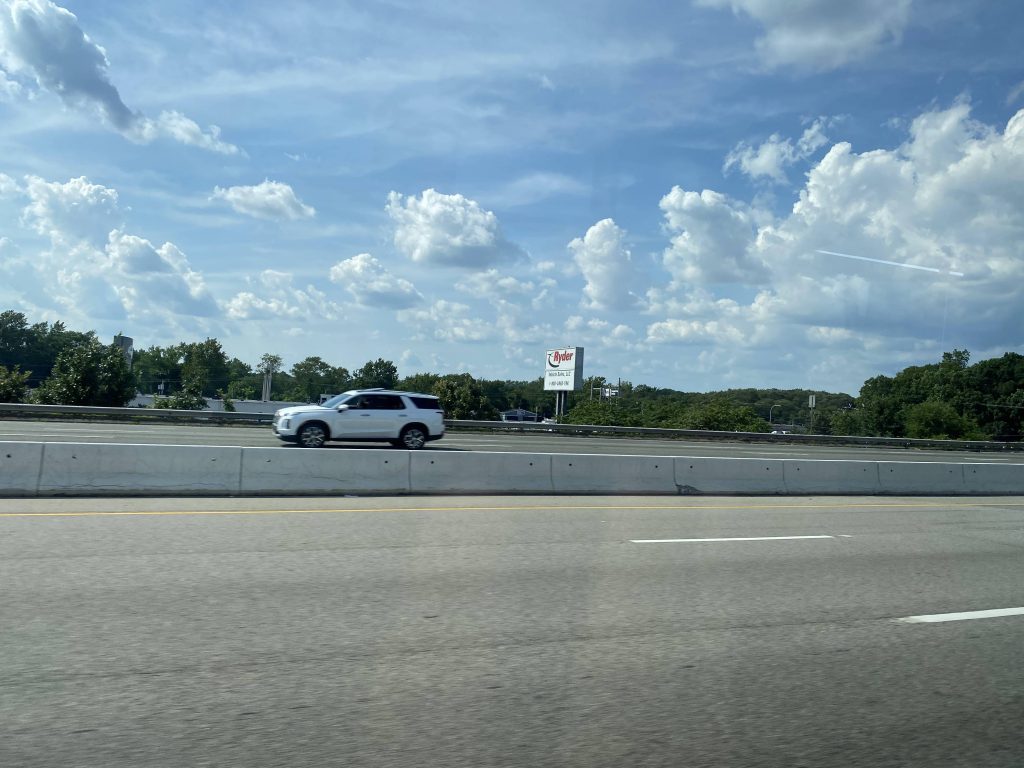
All the way by Jefferson Boulevard!

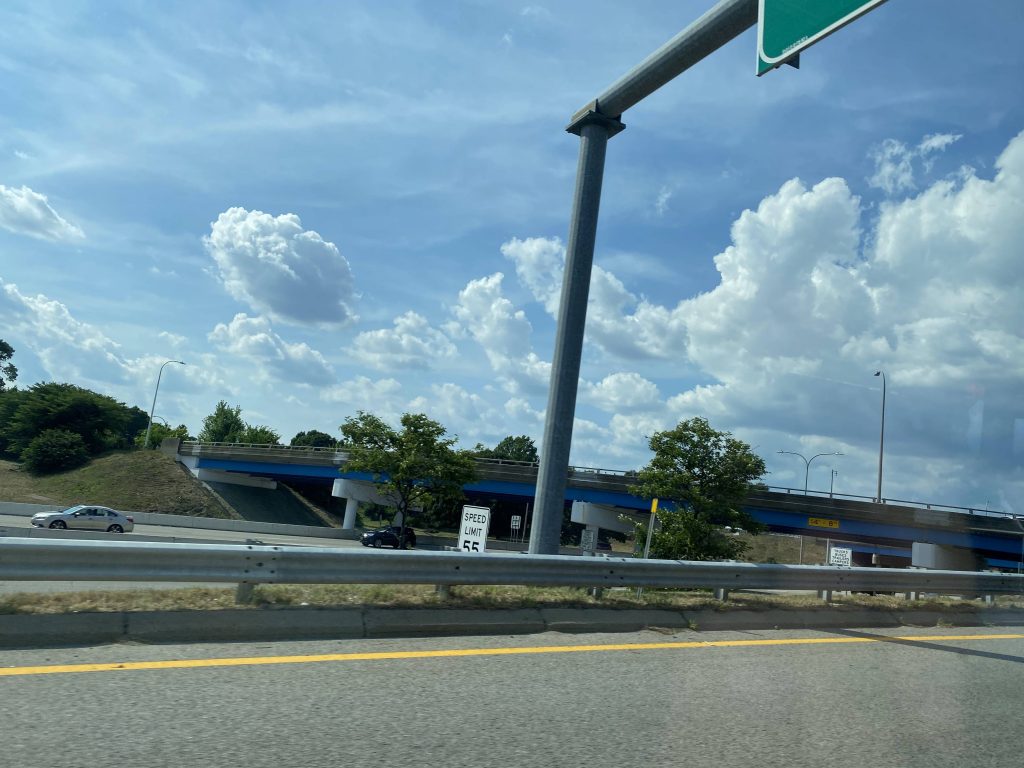
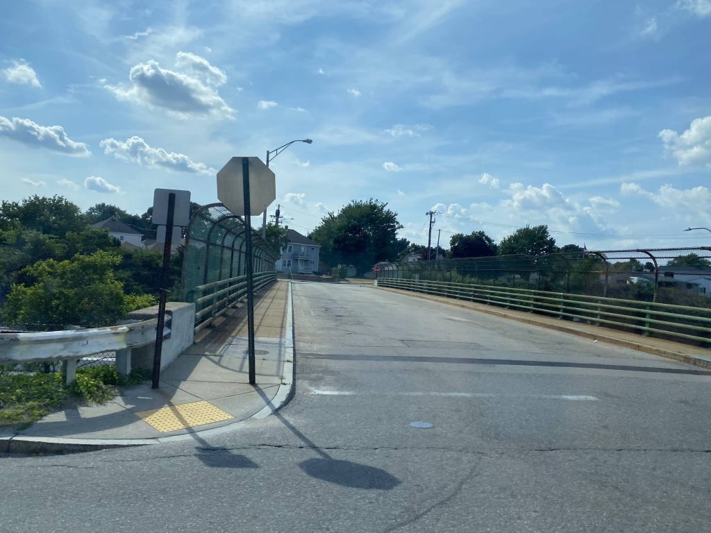
We got off at exit 16 onto Elmwood Avenue, and turned right. Wait, the route calls for a very long detour, but the Park Ave. bridge that’s being detoured around is repaired. What shall we do? Well, we detoured anyways. I guess the driver or RIPTA didn’t get the memo.

Exit 16!
Elmwood Avenue!
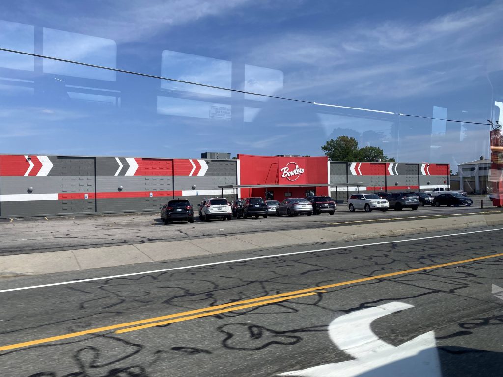
Bowlero! (wait, wasn’t this AMF Bowling at one point?)
No airport today!
Ah yes, familiar territory
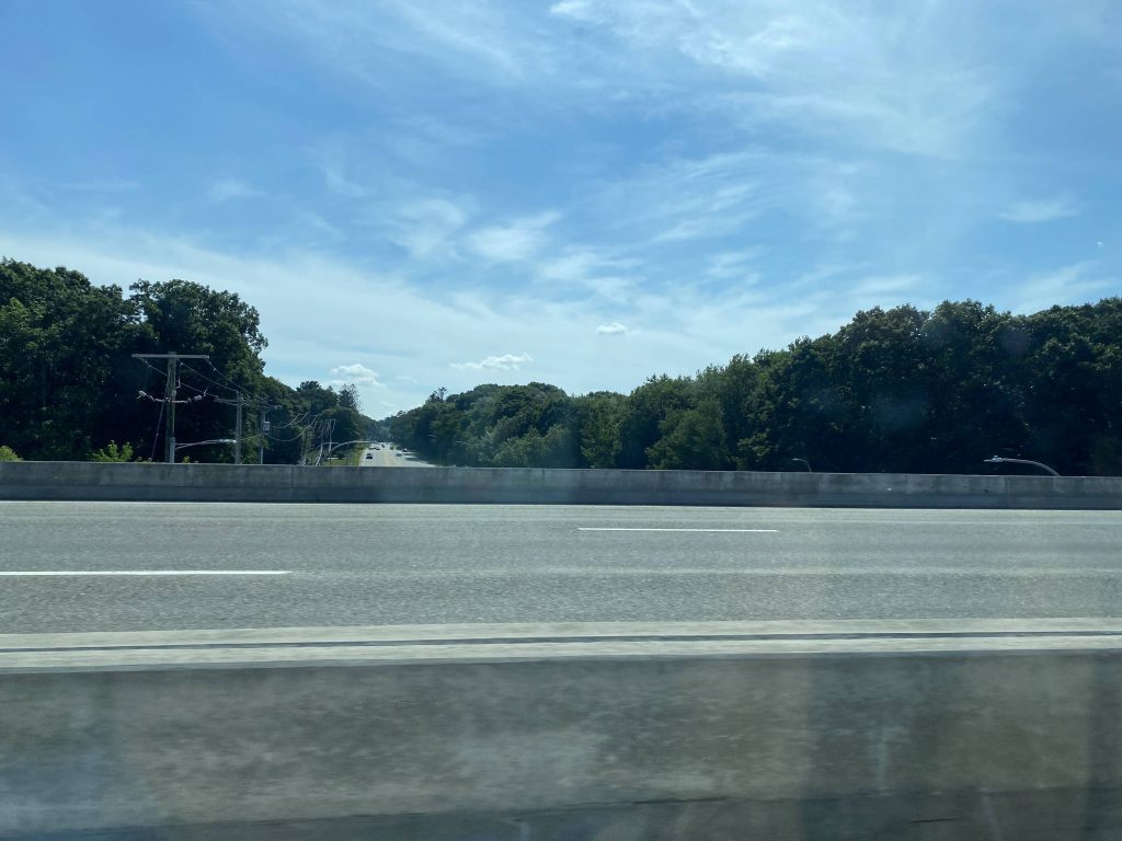
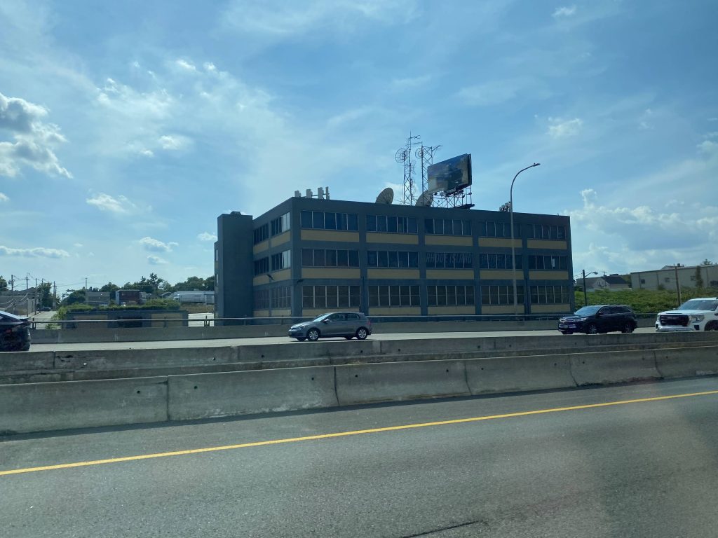
The interstate from above!

From here, we went straight down Park Ave. to Cranston’s city hall. No, we didn’t deviate into mayor Ken Hopkins’ office, sadly. However, two people did get off here. Moving onwards, we turned right onto Reservoir Ave., and quickly left the 21 onto Rte. 10….southbound???? Yeah, the routing calls for going northbound here, but we went southbound and up I-95 north to Kennedy Plaza. Weird choice on the driver’s part.

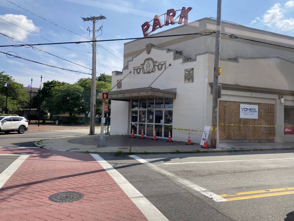
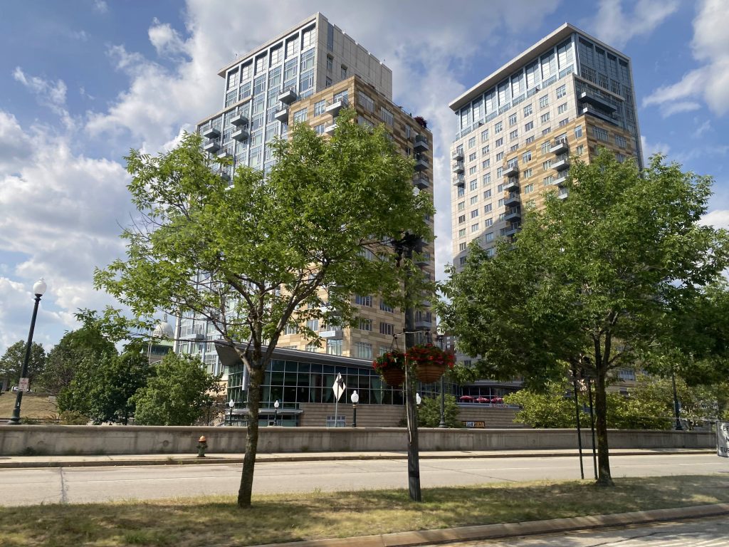
The Park Theater
Reservoir Avenue!
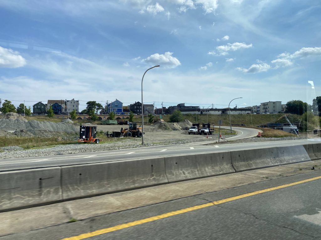
The interstate!

Wait, why are we deviating?! Oh, right, Kennedy Plaza. By this point, I was the last person on and I told the driver I was heading to North Providence, so he pulled back onto Rte. 10 and kept expressing. Was I the “asshole passenger” of the day? Probably, as I’m sure he just wanted to go home. Nevertheless, we went up RI-10 and US-6, getting off at Killingly Street. It wouldn’t be until long, though, that we joined up with the 27. We continued onwards up Greenville Ave. and George Waterman Road, hooked a right down US-44, and ended in Centerdale.

Kennedy Plaza, almost
More expressness!
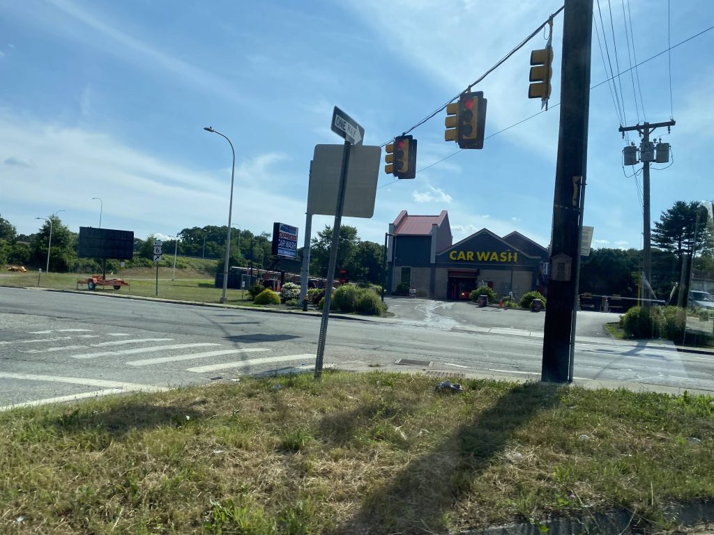
Killingly Street!
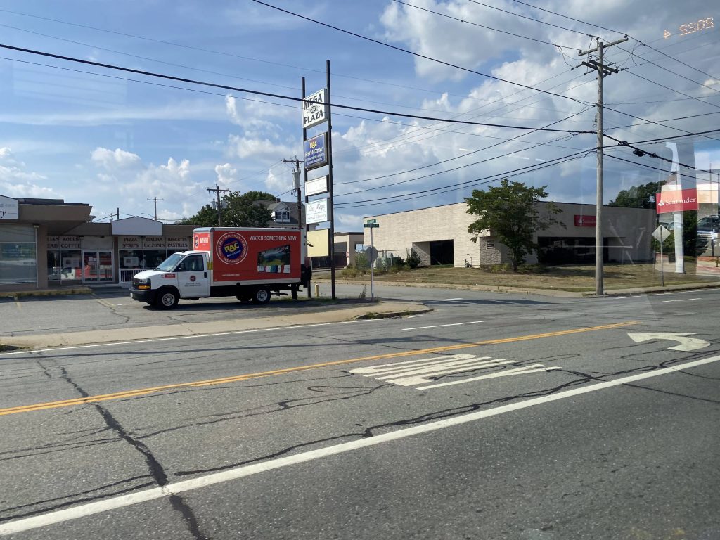
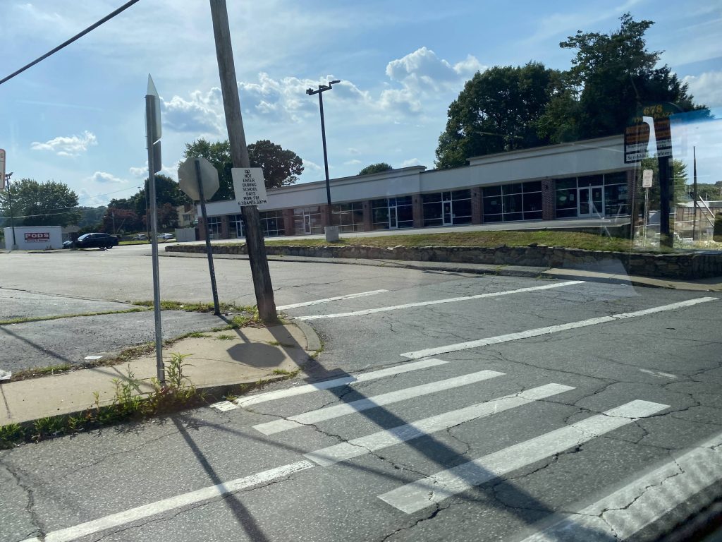
A plaza near Greenville Ave.
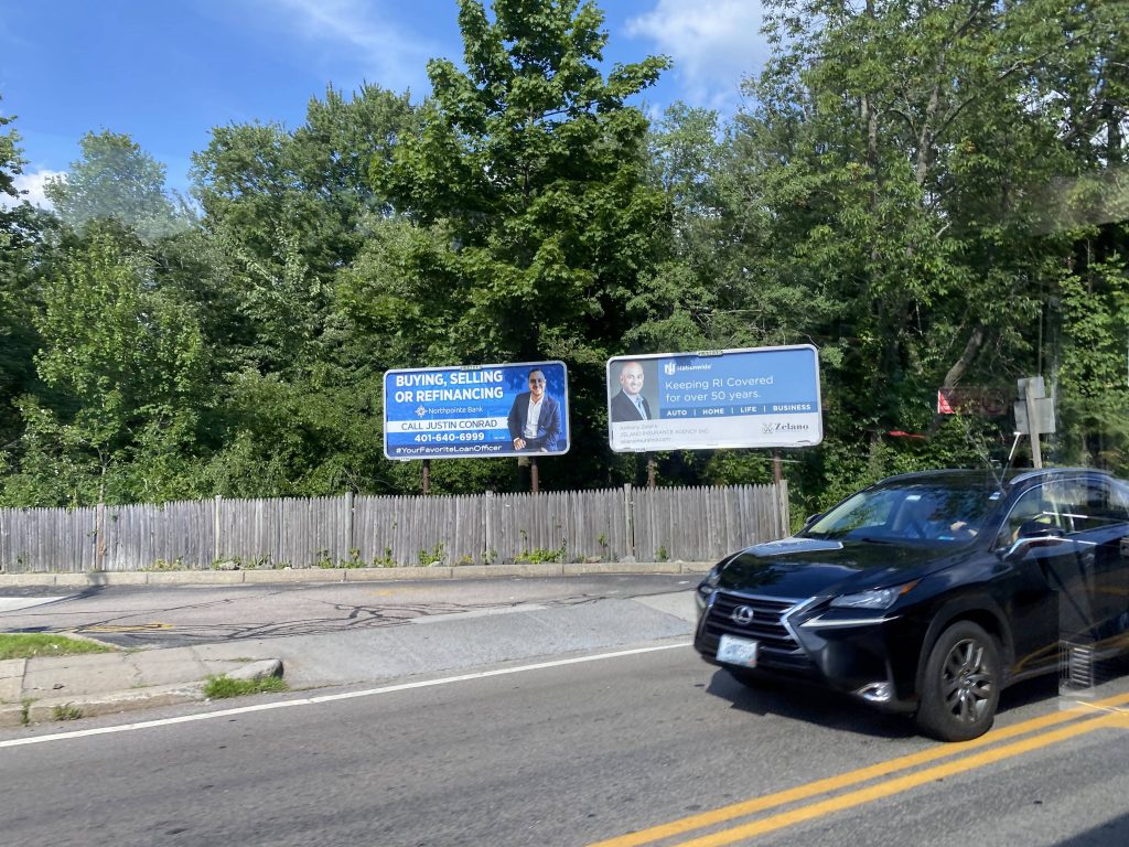
Billboards on Putnam Pike!
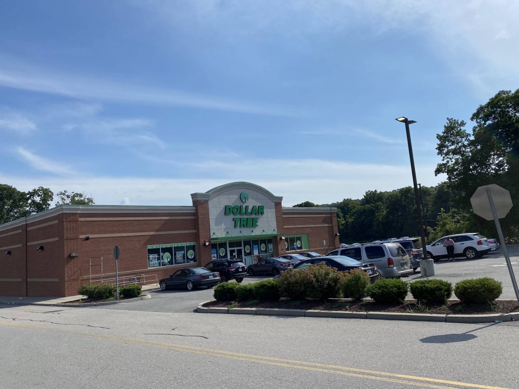
Look, a Dollar Tree! (even tho it’s the same one from the 57)

The good: It’s a one-seat between North Providence, Cranston, Kennedy Plaza, and the South County beaches!

The bad: Best hope you don’t need a bathroom break.

Nearby points of interest: Rolfe Square, Centerdale, and Kennedy Plaza mainly.

Overall, it’s a decent express. For what it is, it gets the job done and very well at that. I do wonder, if having timed connections with the 27 and/or 57 would be better though…

Rating: 7/10

what the hell? why do I see a shopping plaza beckoning me in with an express trolley replica? oh god…

STAY TUNED