Douglaston (LIRR)

Douglaston is a station on the Port Washington Line of the LIRR located in eastern Queens, in the Douglaston neighborhood. Let’s take a look at it.

Rather dark signage

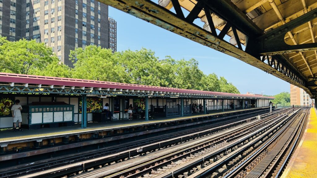
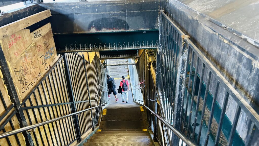
My train here was running a bit late because of the hordes of passengers that got on at both Woodside and Mets-Willett Point (there was a Mets game that night), rendering the train to both be nearly crush-load for a little bit AND for a 12-car set to be used (which cannot platform fully pretty much anywhere on the line aside from Woodside and Penn Station/Grand Central Terminal). As for the station itself, you have a station house (which was surprisingly open at the hour I was here – 11pm?!), level boarding, ticketing machines, a shelter to wait in outside the station house, and even a kiss & ride on each side. As for land use, it’s eastern Queens. You have a small and relatively low density business district around the station. As for accessibility, while the station is accessible, one has to go around and cross via Douglaston Parkway for step-free crossovers. Which can take a while (about 10 minutes, measuring it out). Yikes. Overall though, not a bad station!

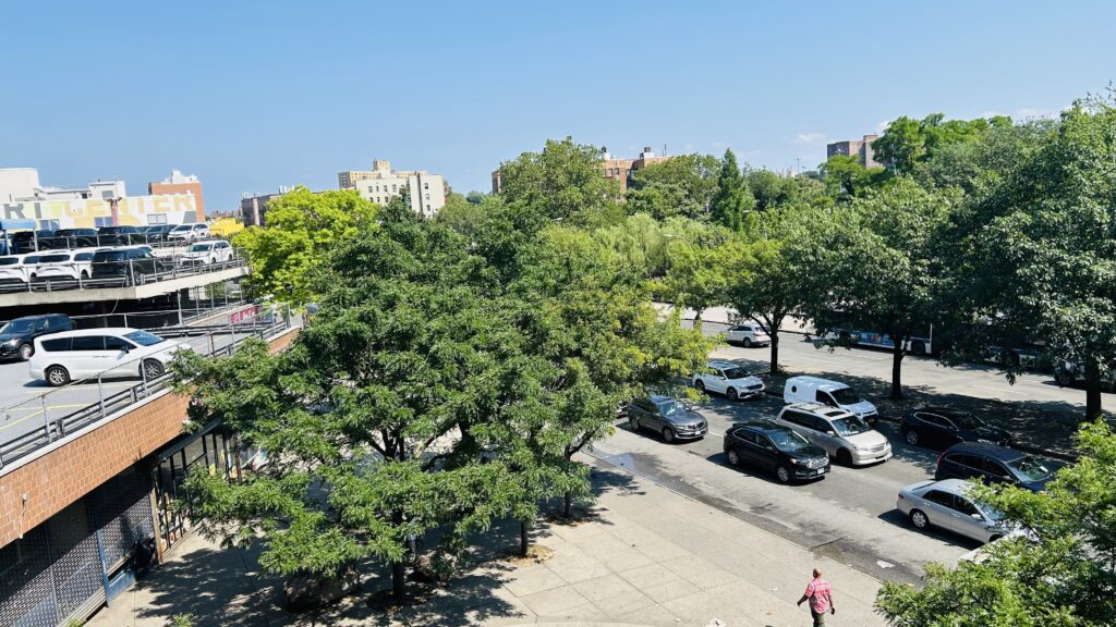
Parking! (it’s kinda dark…)
Departure board!
More parking!
Train meet…..at night!
See ya!!!
The other side…..at night!
Little Neck Bay…at night!
The platform shelter…….at night!
Station house!
It’s a bit dark…
The local neighborhood………at night!
If it weren’t for the fact this neighborhood is largely dead at 11pm, this would be sketchy.
Tunnel!
AHT.
The station house and TVMs
Another neighborhood shot at night
LIRR x the Pennsy?
The waiting room
All red departure board?
That’s a rather long train
woah…

The good: It serves the local neighborhood and is (technically) accessible! Also, service to Manhattan is rather frequent being half-hourly! There’s also a station house that’s open during most hours (seemingly), which can’t be said for most stations I’ve reviewed here.

The bad: WHY IS THERE NO RAMP GOING UNDER THE TRACKS?! DOES THE LIRR HATE ACCESSIBILITY ON THIS LINE OR SOMETHING?!

Nearby points of interest: there’s a whole mini-downtown area here! There’s also a school, a church, and the Allen-Beville House.

Transit connections:
LIRR (Port Washington)
MTA bus (on Rt. 25A) (Q12)

Overall, it’s not a bad station, and the area around it is kinda nice. If anything, I should probably come back during the daytime and check some stuff out.

Rating: 7.5/10

23rd St./6th Ave. (Lines F, M, PATH)

Alrighty, so the second local stop on the F/M between W 4th and 34th, let’s look at it. It is a bit unusual though, but here we go.

…PATH signage?

The PATH platform is pretty normal, with not a lot going on. There’s stairs down to an underpass, some benches, among other things. The track layout of the station is rather unusual, with the F/M flanking the PATH platforms. As for the station mezzanine, it’s normal with OMNY machines, fare control for both PATH and the MTA, and a station agent. I’ve somehow managed to completely forget to photograph the MTA part of the station (don’t ask how), but I can assure it’s nothing crazy and has your usual station amenities. Street level also doesn’t have anything crazy, maybe aside from the M23-SBS.

ILLEGAL
Poles galore
Next and last stop is 33rd Street.
Wayfinding
Another platform shot
The stairs …down?
Faregates
Wayfinding!
The station mezzanine
Street level!
A bit foggy today

The good: It exists! Also, the IND artwork features DOGS! Arf arf! (please note I am not a puppygirl)

The bad: It’s not accessible. 🙁 Also, no free crossover between the F/M platforms.

Nearby points of interest: The National Museum of Mathematics is nearby! As is Madison Square Park and the Flatiron Building, but the R/W is much closer to those.

Transit connections:
PATH (JSQ-33, HOB-33)
6th Ave. Subway (Lines F, M)
MTA bus (M7, M23-SBS, M55, SIM1C, SIM3, SIM3C, SIM10, X27, X28)

Overall, it’s nothing too crazy. Next!

Rating: 7/10

14th St.-6th/7th Ave.’s (Lines 1, 2, 3, F, L, M, PATH)

14th St. and….GODDAMMIT. NO. I WILL NOT BE SAYING IT. 14th St. and 6th Ave., and the avenue west of 6th Avenue. They have an interconnected station for the FML lines and the 1, 2, and 3 lines. Oh yeah, PATH stops here too. Let’s look at it.

PATH signage

Alrighty. The PATH station is nothing special: a pair of side platforms with so little going on, you don’t even get any TVMs. I mean, you probably do, just not with the three faregates that are at platform level. Flanking the PATH platforms are the F/M line platforms, which are also side platforms. These are your standard NYC subway station platforms, with countdown clocks and all that fun stuff. You even have NYC subway staff in the station mezzanine along with an OMNY machine. Now, despite the fact the IND, BMT, and IRT platforms are all accessible in a vacuum (although the connection between the IND platforms and the rest of the station are not), the PATH platforms very much are not accessible – as are none of the Midtown PATH stations (Herald Square notwithstanding). The BMT platforms are much like the IND platforms, however they use an island platform configuration, and the IRT platforms use a dual-island setup (as it is an express station). With all this in mind, it’s nothing too crazy, but the PATH station actually really sucks on this front as there literally is nothing. As for bus connections, you have the M14 and its variants mainly.

ILLEGAL
PATHVISION!!! (also hi)
Platform shot
That’s it? That’s the whole station?!
This is indeed accessible! Yet PATH isn’t.
“F Local Train”
IND tiling!
PATH Trains
One of the exits
PATH trains to New Jersey
Big Brother is watching…
Street level!
Wayfinding and the mezzanine
The L line platform
Towards Brooklyn
Further up the platform
Elevator shot
The passageway between 6th Ave. and the avenue west of 6th Avenue.
The 7th Ave. mezzanine
Two Express Train
MTA station signage!

The good: It’s (mostly) accessible! Furthermore, it’s in a decently populated area (being on the edges of what some people would define as the Chelsea and West Village neighborhoods – these boundaries are disputed though). There’s also plenty of bus connections to go around, along with the pretty good frequency of both the 1 and L, and the “meh” frequencies of the 2, 3, F, and M lines along with PATH – though combined do make up for decent frequencies of service on the section of track they share.

The bad: WHY IS PATH ALWAYS THE INACCESSIBLE ELEPHANT IN THE ROOM?!

Nearby points of interest: There’s a number of restaurants, bars, cafes, bagel shops, etc. nearby! There’s also the Center for Jewish History, a Tibetan art gallery, and even an LGBTQ+ community center. Neat! The Stonewall Inn is also a few blocks south, if you’re on an express train and don’t want to take the 1. (but obviously, Christopher Street is much closer)

Transit connections:
PATH (Blue/HOB-33, Orange/JSQ-33)
7th Ave./Bway (Lines #1, 2, 3)
6th Ave. (Lines F, M)
14th St./Canarsie (Line L)
MTA bus (M7, M14A-SBS, M14D-SBS, M20, M55, SIM1C, SIM3C, SIM4C, SIM7, SIM9, SIM33, SIM33C, X27, X28)

Overall, this station is perfectly fine. In fact, it’d be great, if it weren’t for the fact PATH was so bad they didn’t even bother with benches (if memory serves).

Rating: 6.5/10

Exchange Place (PATH/NJT)

Exchange Place is a station on Jersey City’s waterfront and is the first/last station before entering Lower Manhattan. Located on the waterfront, the view of the Manhattan skyline is rather beautiful, and you also have an HBLR connection! Neat! Let’s look at this station.

Light rail platform signage!

The HBLR platform is rather basic but functional, with a ticketing machine, countdown clocks that are questionably accurate, and signage. It also get very busy during rush hour (I was unfortunately here during the PM peak). There’s also benches and whatnot, so there’s that. Lastly, one of the tracks has a platform on both sides, which is pretty nice and presumably helps with passenger throughput. Overall, not a bad station. There’s also buses outside on Christopher Columbus Drive.

Onwards with you
That’s quite the crowd.
Another train photo
Yep. VERY crowded.
DUNKIES! Also, Manhattan skyline!
Another sign
The PATH entrance is close by, unlike Newport
Woah

The PATH station, while rather deep and with dubious air quality, is pretty modern otherwise. You have your countdown clocks, TAPP gates, station staff, elevators, and all that. Overall, nothing too special. But, I do like how the headhouse uses the entire first level of an office building, while remaining accessible. Maybe a few stations in Midtown can take notes. Going down to platform level, you do have two tunnels that exist. It’s deep. And the air quality absolutely blows. Like, despite the fact that (to my knowledge) no diesel trains run through here, it still was hazy as hell. Maybe that could be up to the fact it was a hot and stinky summer afternoon? Who knows. Either way, I’m surprised it didn’t set the fire alarm off.

Faregates!
Another PATH entrance
This seems to be the main entrance
Oh lord. Porter Square Syndrome?
The tunnel with rather cool LED lighting
…who the fuck uses WhatsApp?!
Station signage
Eww. And, it doesn’t look so too much on camera, but I assure it was more hazy in person!
And looking towards Manhattan
Newark!

The good: It serves a rather dense area of Jersey City – as well as the waterfront! The area in general is kinda beautiful (I wonder what it’s like now that about a foot and a half of snow has since been dumped as of the writing of this blog post). There’s also buses! Also, it’s accessible!

The bad: The air quality in the PATH station kinda sucks. The HBLR platforms are also prone to rather severe overcrowding during rush hour.

Nearby points of interest: Exchange Place itself, the Colgate Clock is close by (but Essex St. is much closer on the HBLR), and a lot of high rises. There’s also a 9/11 memorial nearby.

Transit connections:
Hudson-Bergen Light Rail
PATH (Red/Newark-WTC, Green/Hoboken-WTC)
NJT bus (1, 63, 64, 68, 80, 81, 82)

Overall, it’s not a bad station. Just, one that’s REALLY, REALLY POLLUTED for PATH and gives Tracks 5/7 a run for its money.

Rating: 7/10
3rd Ave. (Line L)

3rd Ave. is a station on the L line, at the intersection of 14th St. and, well, 3rd Ave. Let’s look.

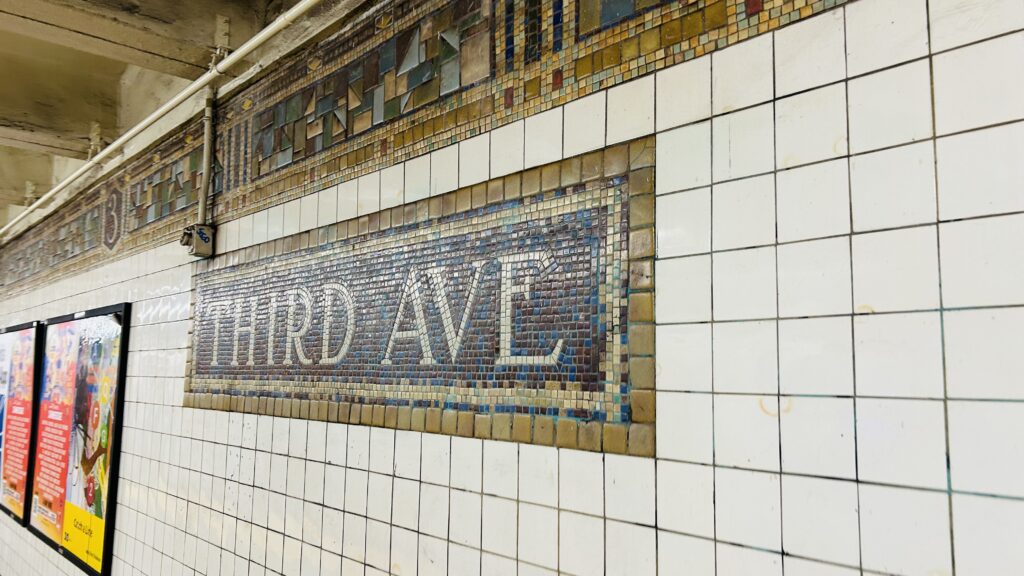
BMT tiling!

The station is pretty standard with the BMT tiling lining the walls (as this is an ex-BMT station), benches, wastebaskets, a station agent outside the paid area, and OMNY machines, as well as the usual countdown clocks and whatnot. At street level, though, you have a stop for various buses on both 14th St., 3rd Ave., and southbound only, 2nd Avenue. In fact, it’s also been proposed that when the 2nd Ave. subway line gets built down here in the Year of our LORD 2167, this (rather than 1st Ave.) would be the transfer station. Overall, though, it’s normal with nothing special to remark other than the platform “screen doors”

Train!
Platform shot
And towards Brooklyn
Bye!!!
Empty tunnel
Station mezzanine
Street level
Bus connections and DUANE READE.

The good: It serves the area to the southeast of Union Square (Google Maps says the East Village and Gramercy Park). Furthermore, the area is pretty well built-up. It’s also close to a housing development, but 1st Ave. is right next to it. There’s also several bus connections.

The bad: The big stinker is the lack of accessibility. Take the M14 to Union?

Nearby points of interest: The Gramercy neighborhood is kinda quiet. Not really much in this particular station’s walkshed that’s unique to this station, though.

Transit connections:
BMT Canarsie (L)
MTA bus (M14A-SBS, M14D-SBS, M101, M102, M103)

Overall, it’s not a bad station, but it does suck slightly more than the other L line stops in Manhattan due to the lack of accessibility.

Rating: 6/10
Jamaica/JFK Airport (NYCMTA)

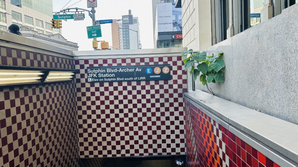
Alrighty, this one’s an important station. So, rather than use both names for the station complex (Jamaica for the LIRR, Sutphin Blvd./Archer Ave./JFK Airport for the EJZ), I just shortened it to Jamaica/JFK. With that in mind, here we go.

Station signage for the subway

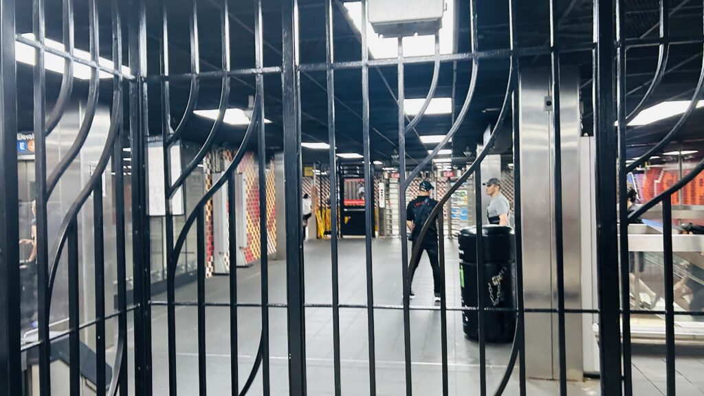
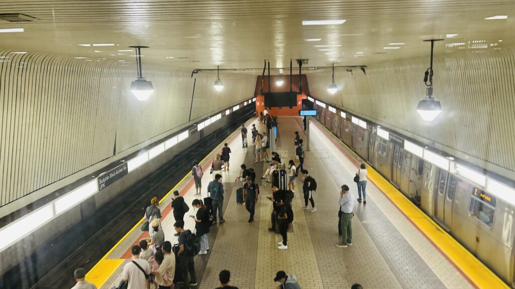
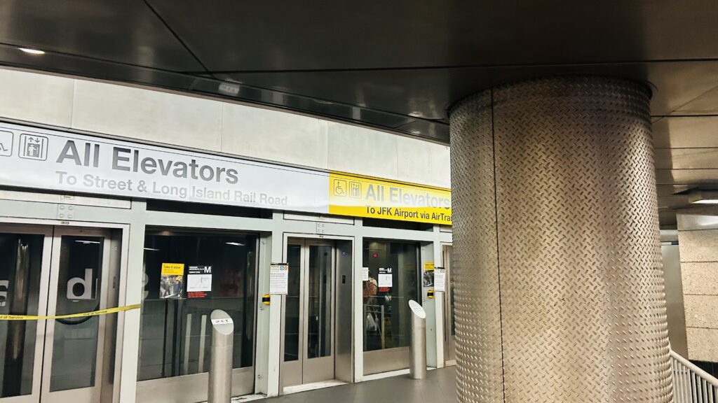
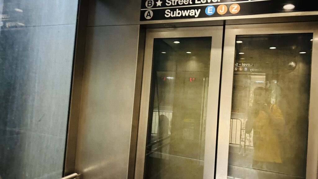
The subway platform is a two-level setup, with the E on one level and the J(/Z) on the other. This, however, is not the end of the line, though, as there is another stop past here. But, we’ll talk about that later. The mezzanine is rather spacious, to accommodate the loads of people going between the LIRR, the subway, and even the AirTrain (beyond the scope of this blog). I didn’t spend much time here, but it has everything you’d expect (staff, OMNY machines, elevators, etc.).

Mezzanine
The platform
Elevator

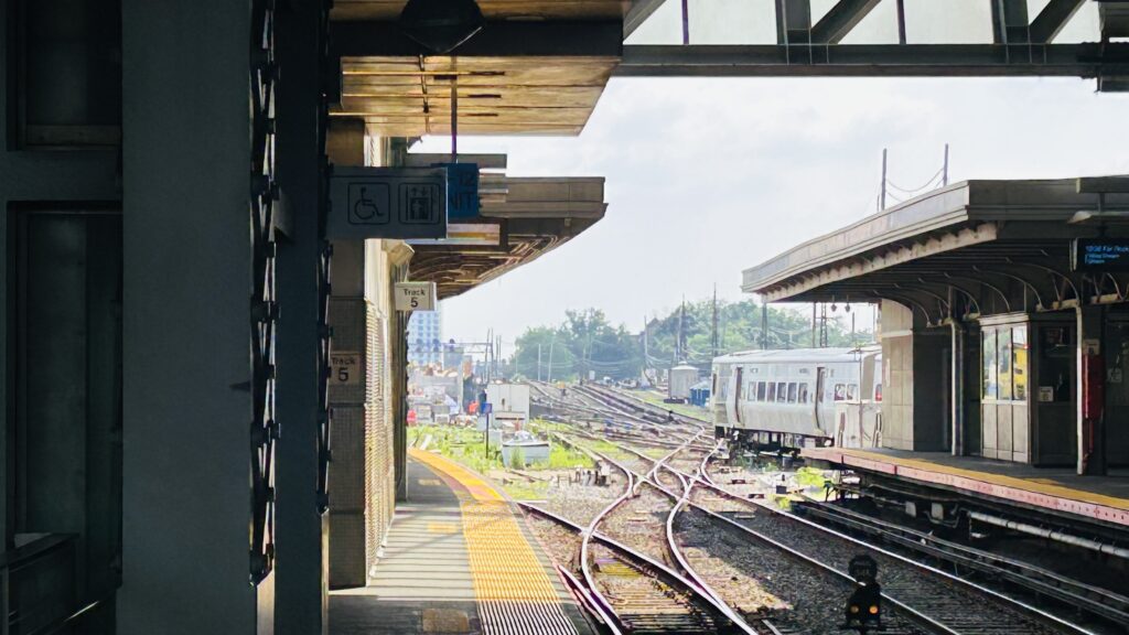
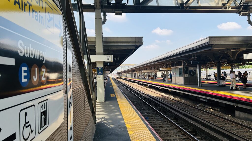
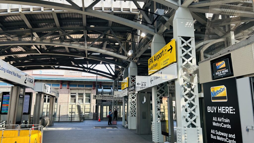
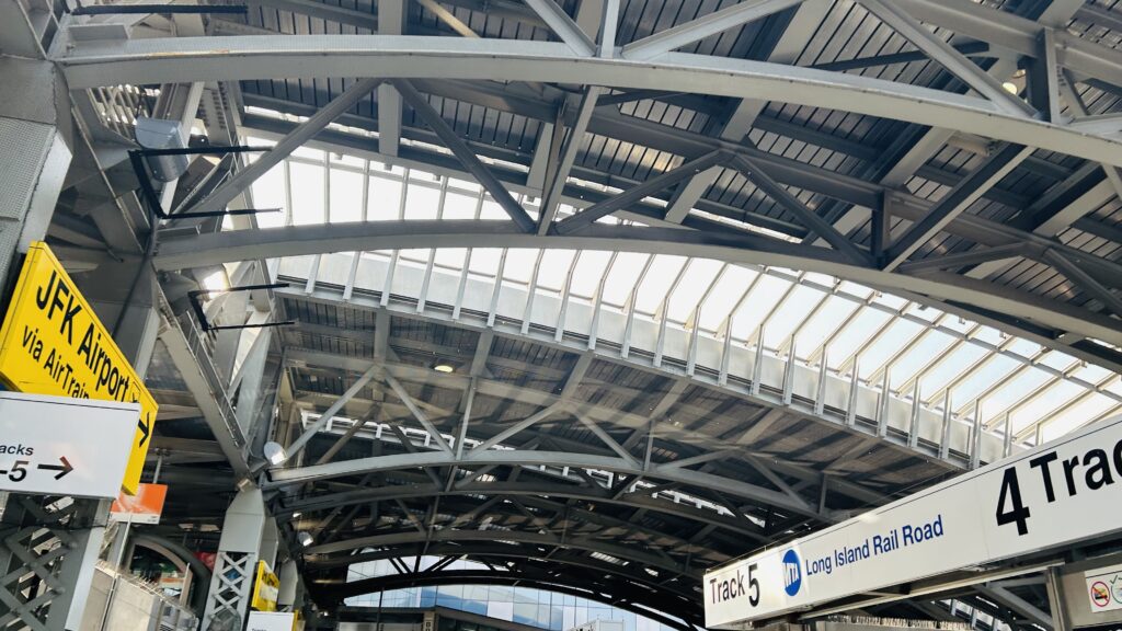
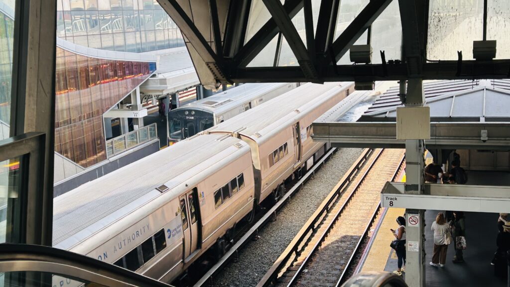
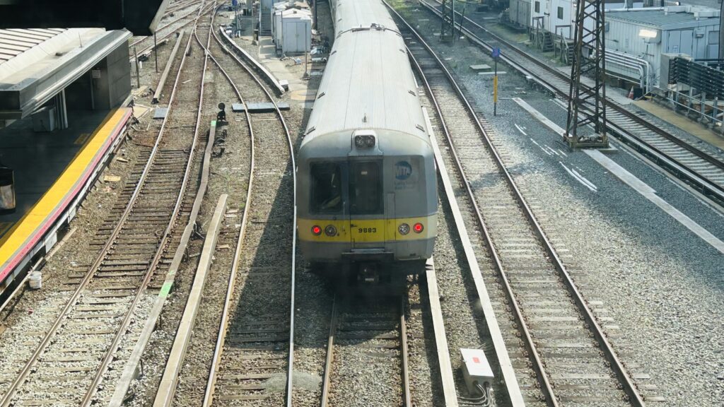
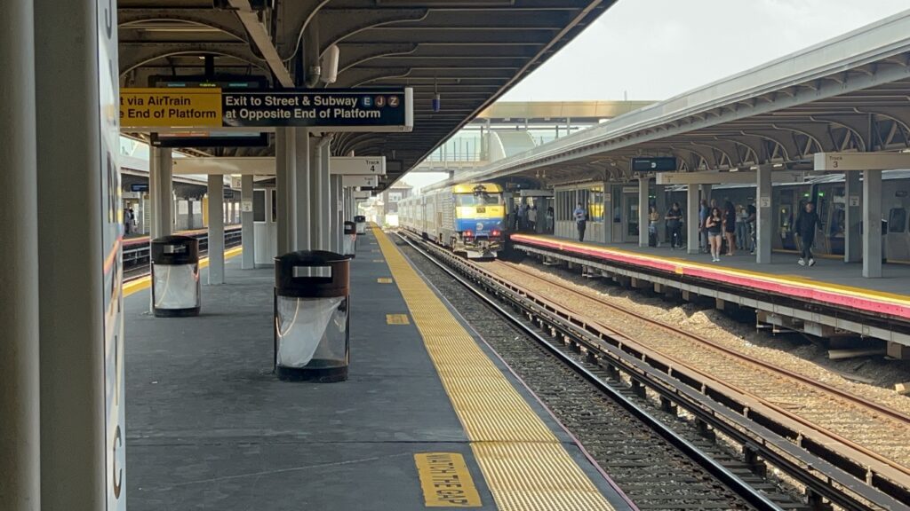
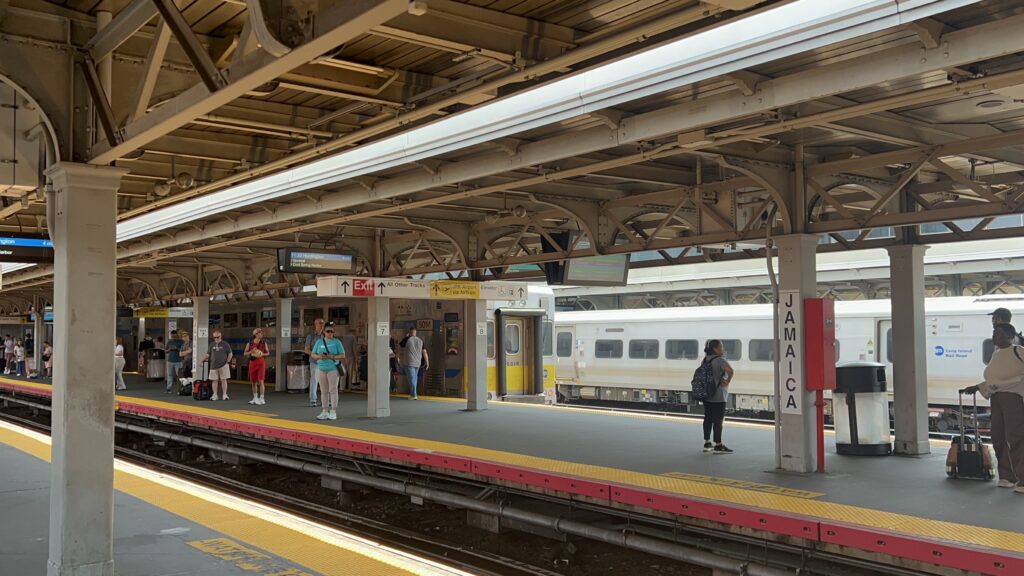
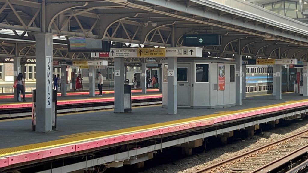
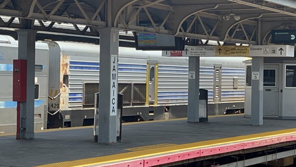
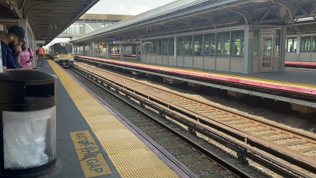
Going up to street level, you have an old station house – which, interestingly, is also the LIRR’s headquarters. Notably, a good amount of the LIRR’s dispatching is done out here as well, presumably handling everything except the tracks going in/out of Penn Station. The waiting room here is small, but it has a convenience store and a LIRR ticketing agent. In the station itself, it kinda reminds me of Ruggles in a way, but much larger, with the canopy covering the entire station. As for the station itself, you have stairs and escalators down to the numerous platforms, a waiting room on each platform that is sheltered, benches, wastebaskets, access to the AirTrain, ticketing machines (at the time there were MetroCard machines too). Notably, this is the 4th-busiest station on the entire continent (behind Penn Station, Grand Central, and Toronto Union). There’s also bus connections along Archer Avenue outside the station. As for land use, it’s not bad, but it’s not as built-up as LI City, the Atlantic Terminal area, or Midtown. Overall though, it’s very much not an awful station.

Looking westbound
And eastbound towards Atlantic/Flatbush, LIC, and Midtown
The rather spacious station concourse
That’s quite the ceiling
F O A M
F O A M
Elevator
Blurry waiting room shot
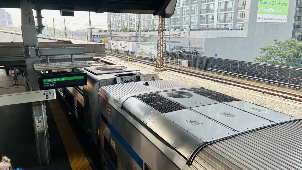
The 11:16am Oyster Bay train
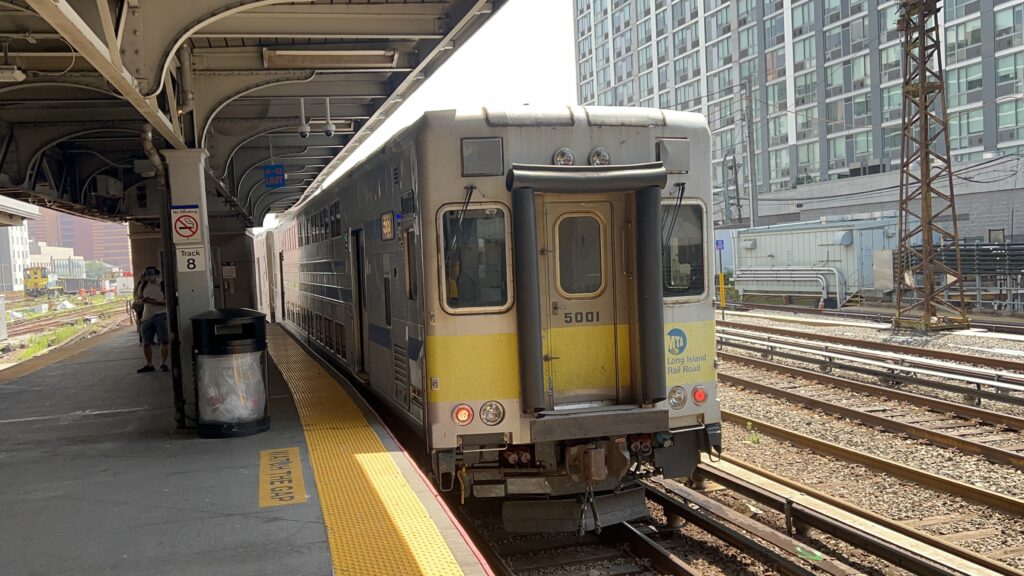
The first C3 cab?
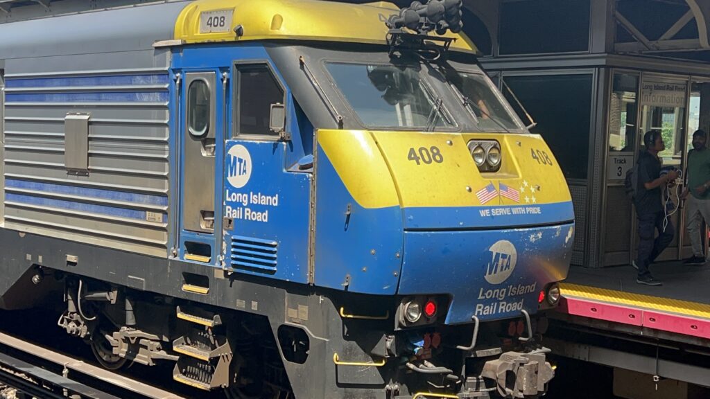
DE30AC #408
F O A M
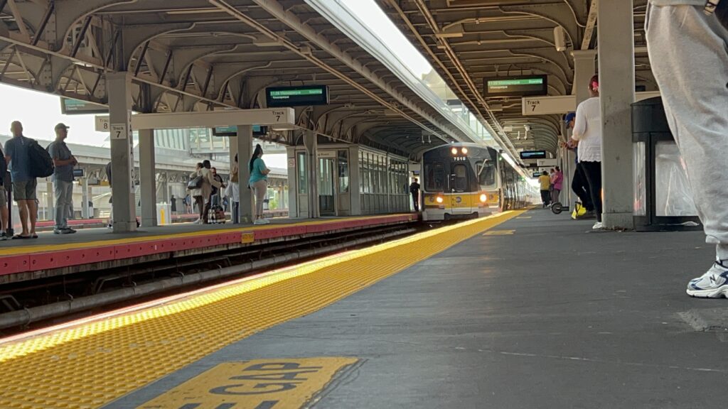
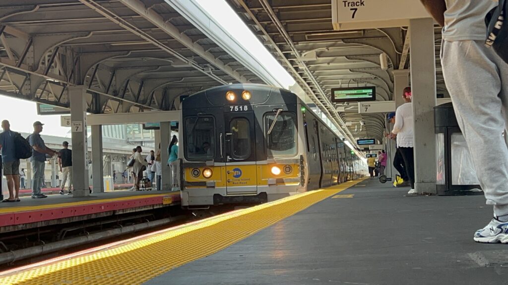
Train to Massapequa!
And another shot
Train from Montauk!
Onwards?
hehe funny weed locomotive
Onwards!

The good: It’s a major interchange for the subway, the airport link, and the LIRR. There’s also plenty of bus connections!

The bad: This mostly comes down to the land use, but Jamaica isn’t as well built-up as Midtown or LIC is, and thus it feels a bit jarring that one of the busiest stations on the continent is largely among midrise buildings and single-family houses. I don’t really have any complaints though, otherwise.

Nearby points of interest: Not a lot. The immediate intersections are sorta mid-rise? Yet, you can find single-family homes pretty much next door. It’s kinda jarring, honestly.

Transit connections:
LIRR (Oyster Bay, Port Jefferson, Ronkonkoma, Hempstead, West Hempstead, Babylon, Montauk, Long Beach, Far Rockaway, Brooklyn Shuttle)
8th Ave. (E)
Jamaica/Nassau St. (J/Z)
MTA bus (Q1, Q6, Q8, Q9, Q20, Q25, Q30, Q31,Q40, Q41, Q43, Q44-SBS, Q54, Q56, Q60, Q65, Q75)
JFK AirTrain (Red Line)

Overall, it’s a very important station, and a pretty good one at that. The land use feels weird, though.

Rating: 10/10
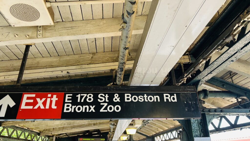
West Farms Sq./E. Tremont Ave. (Lines #s 2, 5)

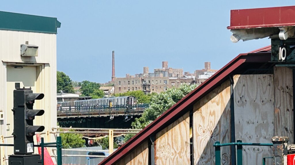
West Farms is the closest you can get to the Bronx Zoo on the subway. Is it any good? Let’s see.

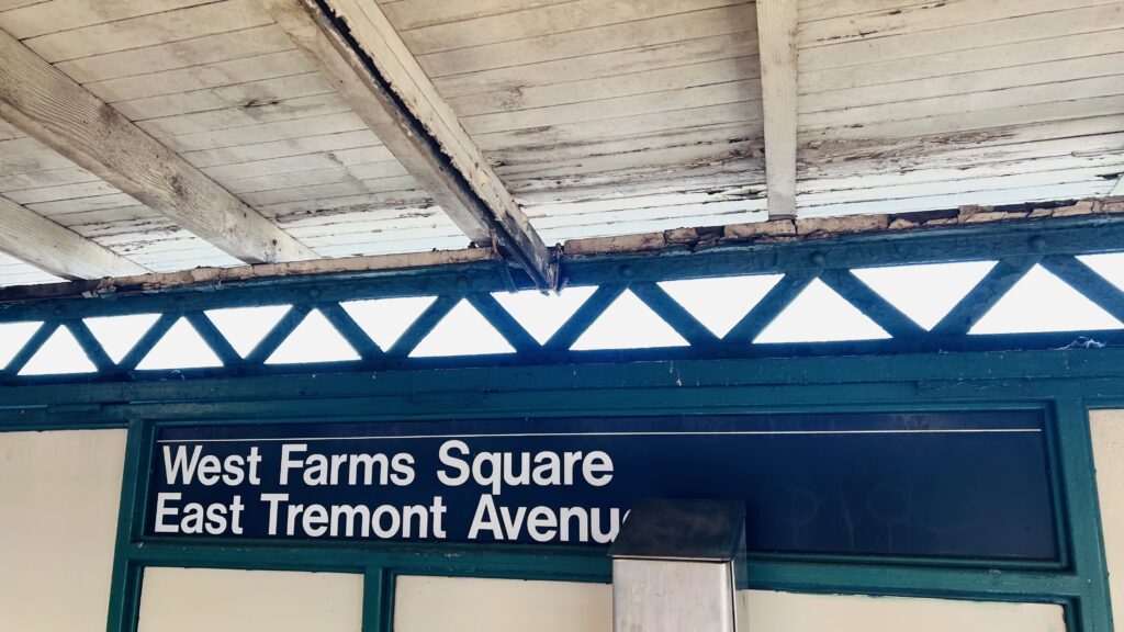
That’s some word salad.

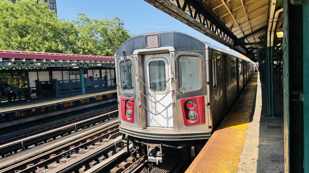
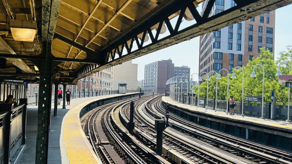
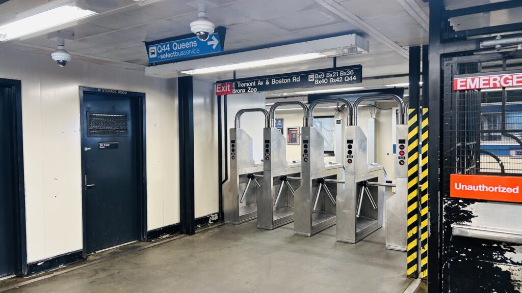
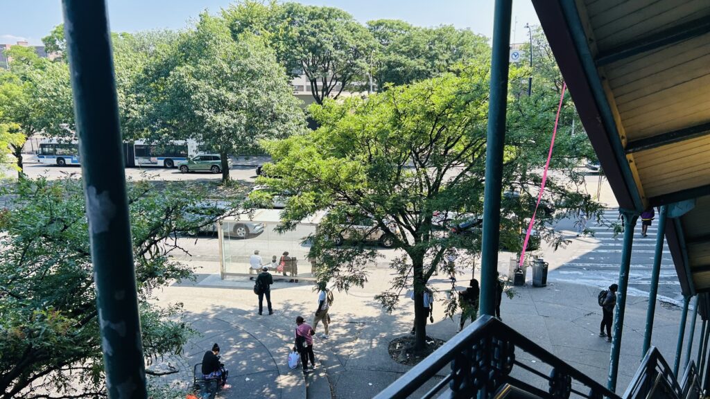
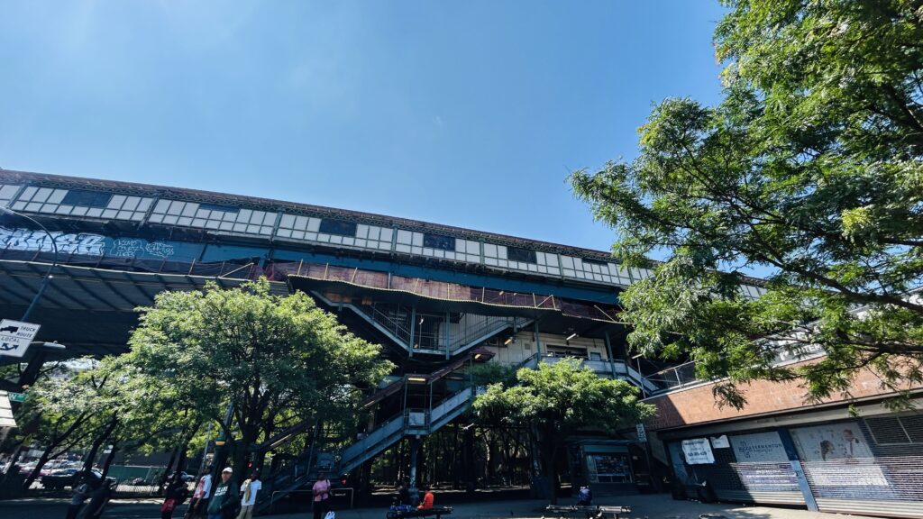
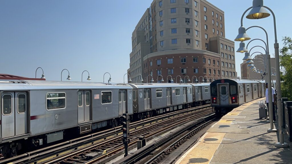
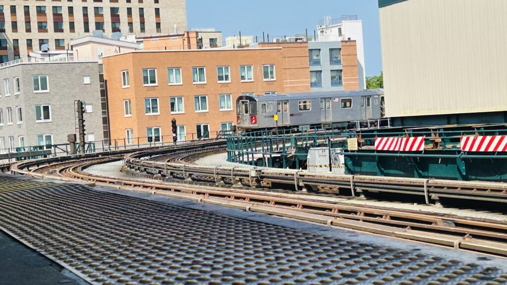
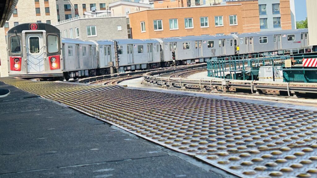
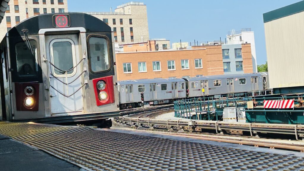
West Farms’ station announcement on the New Tech trains is usually followed with “AS YOU EXIT, PLEASE BE CAREFUL OF THE GAP BETWEEN THE PLATFORM AND THE TRAIN!!!” Or, in short terms, “MIND THE GAP.” This is because the station has a considerable curve – albeit not to the same extreme as Union Square’s IRT platforms. The platforms otherwise are pretty standard with your usual amenities, there’s also OMNY machines in the station house – which is a giant imposing metal structure. West Farms Square itself is your standard Bronx neighborhood. Suburbanites will tremor in fear, but in reality it’s just a case of “use your brain and keep to yourself, and nothing will happen”, and that goes for a lot of places typically seen as “bad”. The station itself is also staffed, as is every station. Interestingly, while I was here, trying to return back to Manhattan, someone with a bike asked me to help him bring it in. He had his OMNY card out, tapped, and got the emergency exit opened while I held on to his bike for him, walked it in, and we went on our way. Probably one of the more MTA moments I’ve experienced on this trip. (was I stupid in helping him out of goodwill? Maybe. But, nothing bad happened and I didn’t sniff anything sus, so I had no reason to say no to assisting someone out of goodwill)

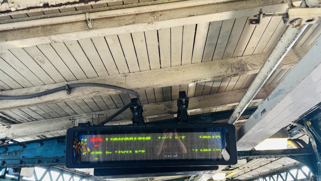
Countdown clocks
Bye!!!
Curvy!
The other platform
The stairs down
The streetscape
The entrance to the mezzanine
Fare control!
Welcome to West Farms Square!
GIANT IMPOSING METAL VIADUCT
Curve shot!
This is, indeed, the closest station to the Bronx Zoo’s entrances!
Beyond the curve!
A foamer shot!
FLATBUSH/BKLYN CLGE via 7TH AVE. EXP.
OH THAT’S A CURVY SHOT

The good: It exists, serves the local neighborhood, and is the closest stop to a pretty big tourist destination in the Bronx!

The bad: It’s inaccessible. 🙁 (& it’s not an express stop, but E. 180th is equally as far from the Zoo) – however, accessibility is planned, from what I know.

Nearby points of interest: The Bronx Zoo is a short 5 minute walk away. There’s also a lot of housing, an art center, a bus depot (for the MTA bus operators), and a school.

Transit connections:
Lexington Ave. (Line #5)
7th Ave. (Line #2)
MTA bus (Bx9, Bx21, Bx36, Q44-SBS)

Overall, while the fact it’s the nearest stop to the Bronx Zoo is important to it, it’s also inaccessible. Yeah, sorry. Fun fact, though: had my parents been brave enough to take the subway growing up, I’d probably have had used this station to visit the Bronx Zoo several times as a child. I actually kinda enjoyed those trips (first time in ’09, in the fallout of a freakin’ tornado, and the second time was in 2017 on a chartered bus with mom only), and admittedly growing up, I did wish we went on family vacations to explore NYC a bit more. However, mom was too busy being fiscally irresponsible and dad was considerably more on edge than he is these days, and was worried about “those people” mugging us. Needless to say, he’s since eased up considerably over the last 5-6 years, and thankfully when I went to NYC, he didn’t have a total aneurysm. In fact, beneath the rating are some photos from my 2017 trip (which I surprisingly still had saved!) – though, sadly, the 2009 trip got lost to time aside from one photo. Even then, I won’t/can’t share that photo as I’m not about to contact mom about using it.

Rating: 6/10

Fish!
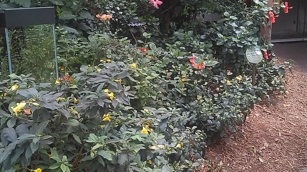
Greenhouse plants!
I don’t recall what this was
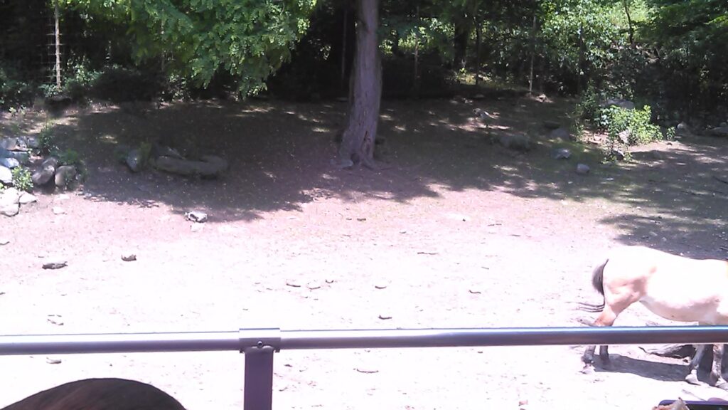
Pretty sure this was a horse exhibit
A better photo
Some more zoo animals
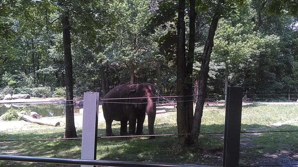
Elephant!
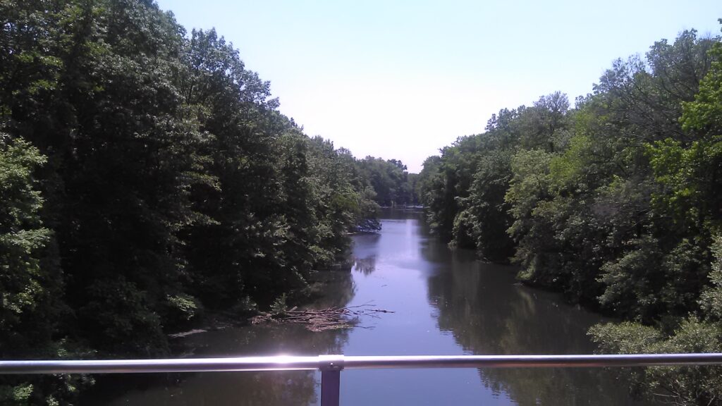
River!
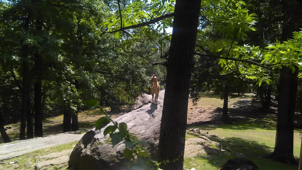
More wildlife!
Blurry!

Cynwyd (SEPTA)

It’s pronounced “KINN-widd”. With that aside, happy holidays and let’s look at this station.

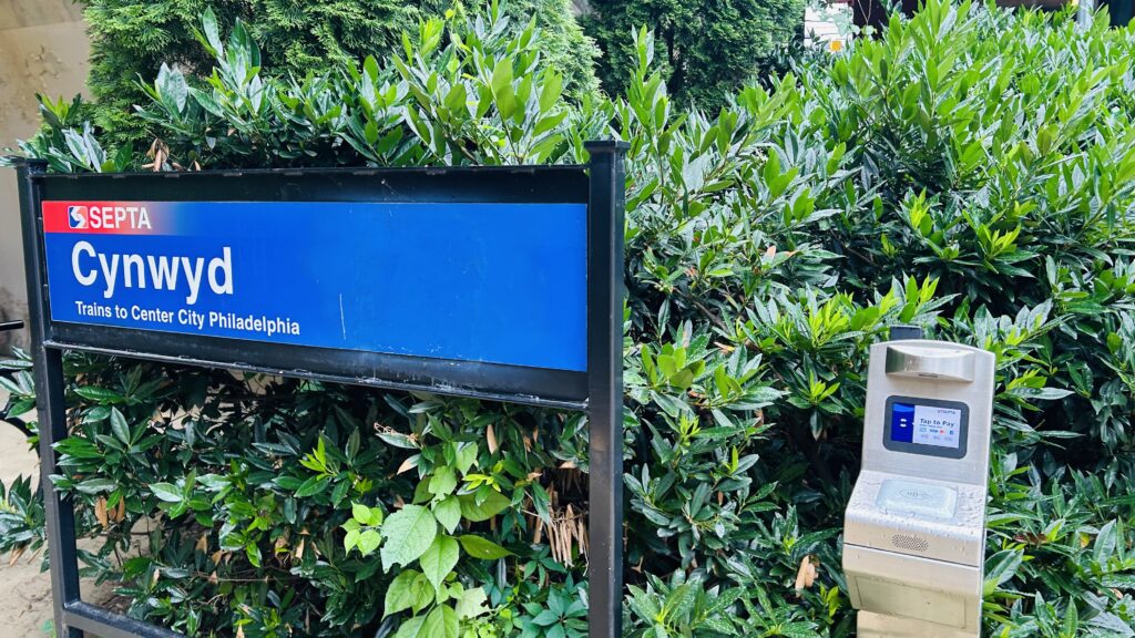
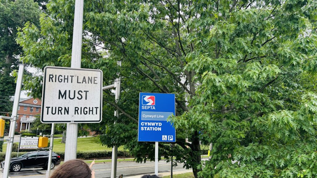
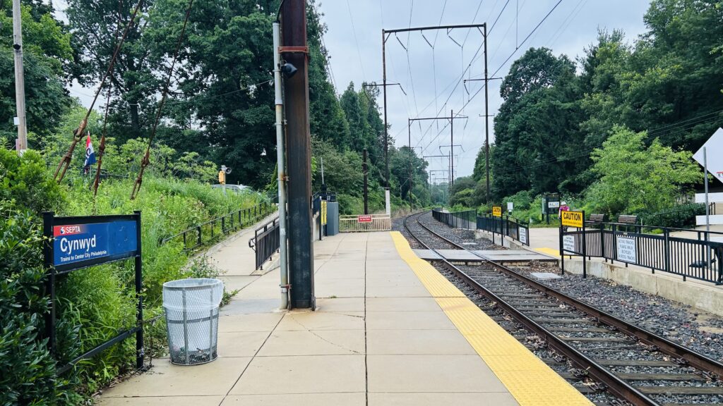
A station sign and a Key reader

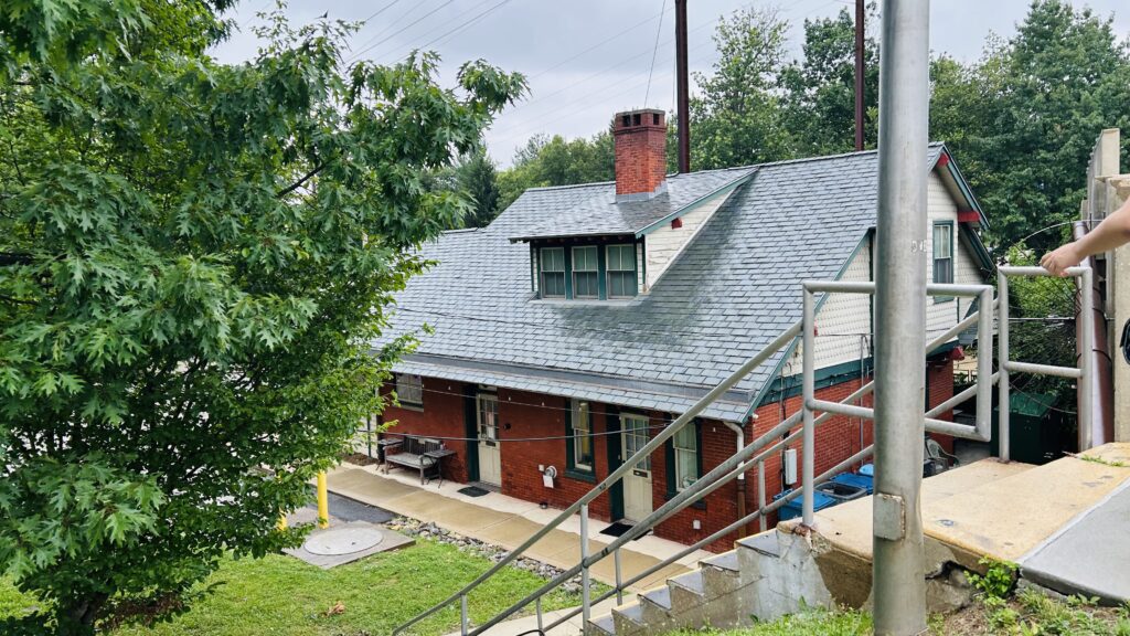
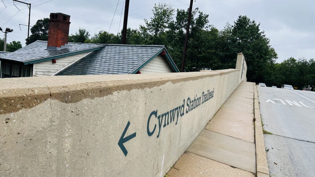
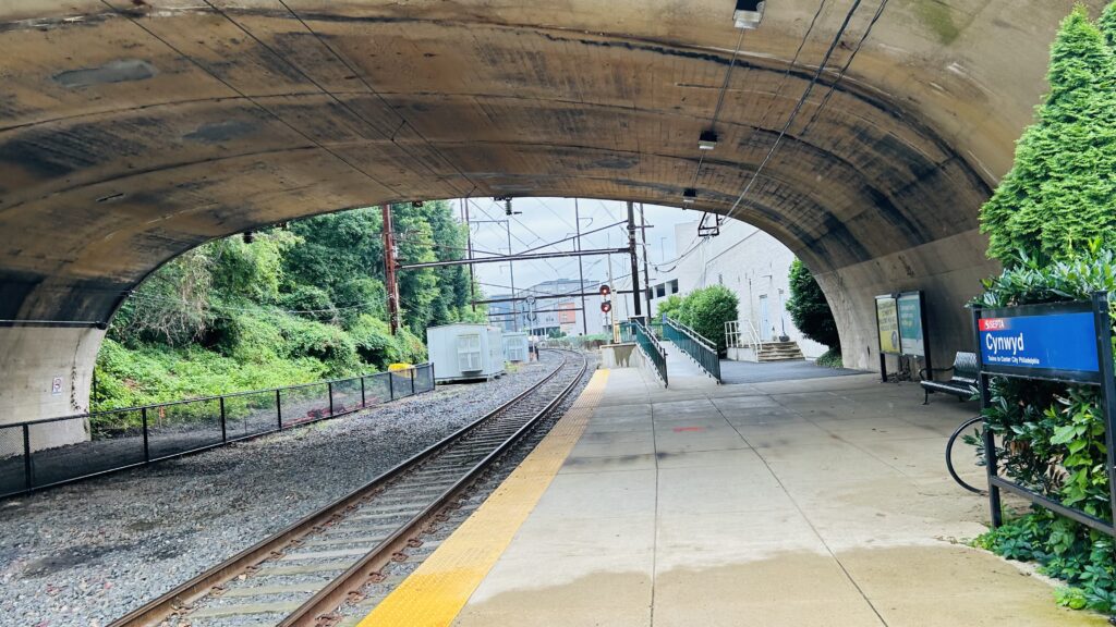
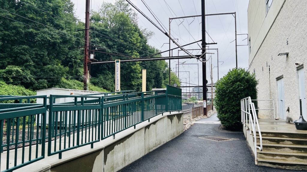
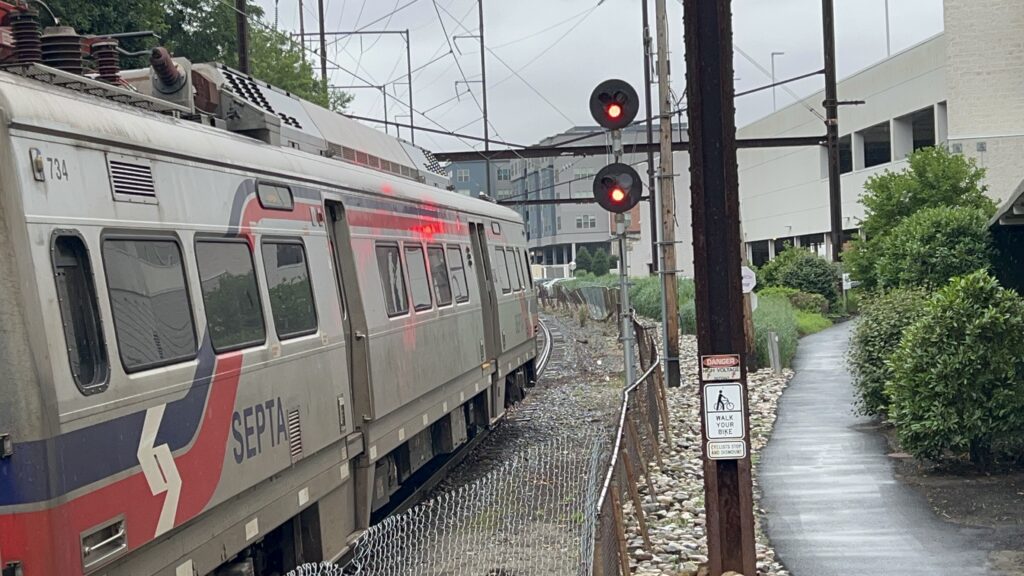
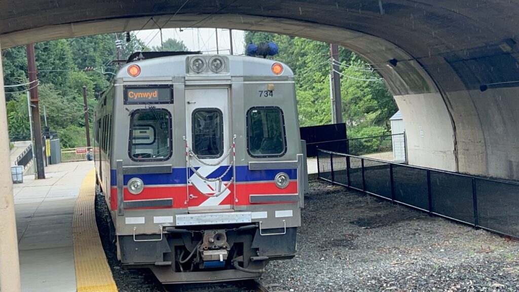
Cynwyd is the outer terminus of its namesake line, however it was not always this way. Before the ’80s, the single-tracked line continued on to Ivy Ridge station, shared with the Manayunk/Norristown Line. The station itself is (allegedly) accessible with a mini-high on the inbound end. However, nothing boarded there! Aside from that, there’s a singular side platform, an overpass, some benches, a rail trail where the line used to continue to Ivy Ridge, and a restaurant inside the station house. The stairs going down to the station from Montgomery Avenue was a little sketchy. The rest of the station was actually not awful, though, setting aside service levels. Neat!

What a cute little station house
Trail signage
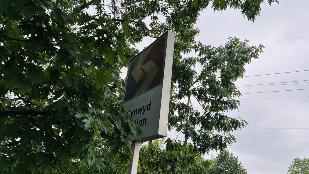
Newer style lollipop sign
Legacy signage on the back
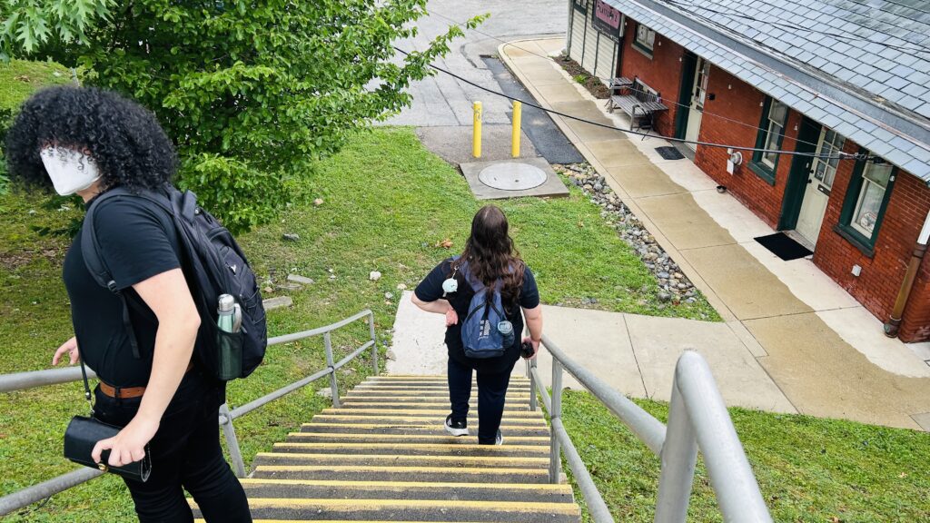
These stairs are a tad sketchy…
Inside the station house! (there is a restroom here)
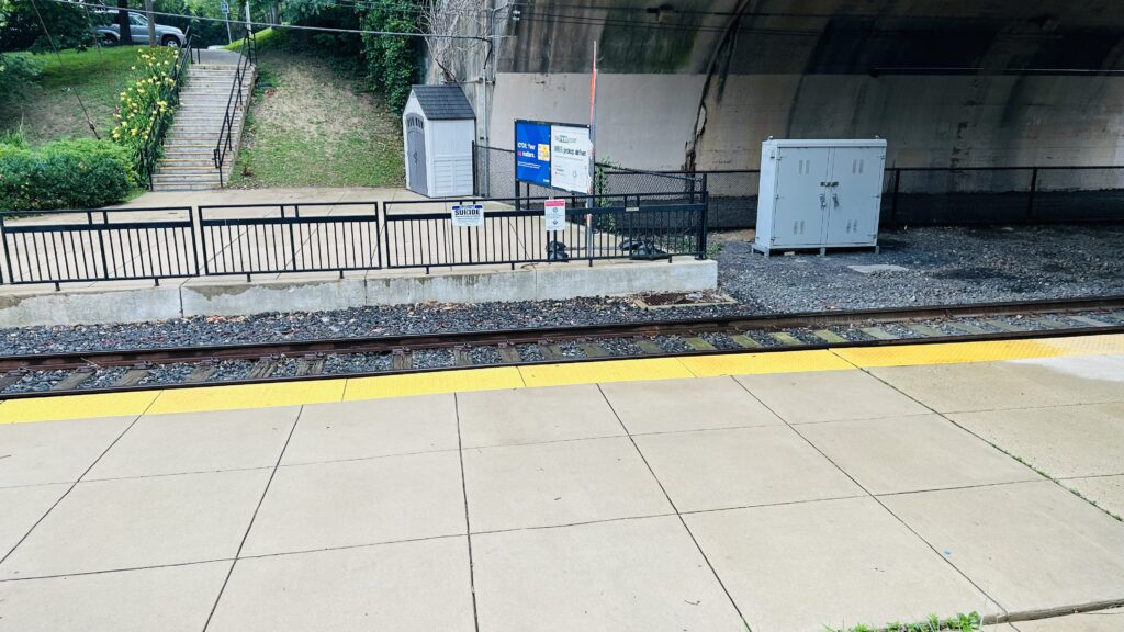
One track!
Towards Center City!
And towards a bumper block
The mini-high
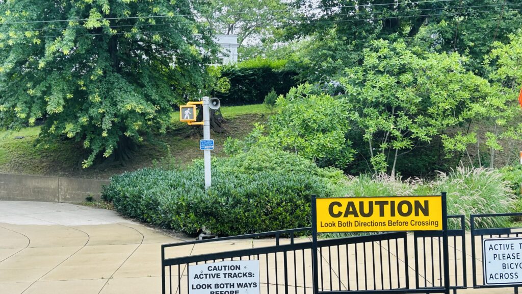
Where’s the button to indicate you want to cross???
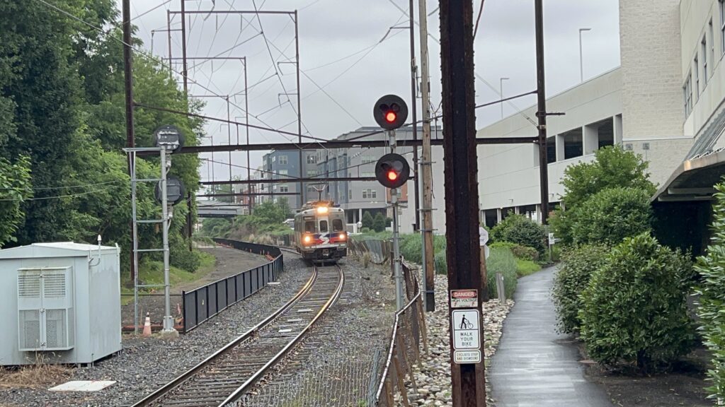
That’s it?! ONE CAR?!
SILVERLINER FIVE
They overshot the mini-high…

The good: It exists? There’s a station house with a restroom, and can be used to keep warm. There’s also a mini-high, technically making this station accessible.

The bad: TRAINS DON’T BOARD FROM IT?! WHAT THE FUCK! The stairs down to the platform is sketchy. The Key ticketing machines don’t actually spit out a ticket. (although this is more an issue with Key itself than a station issue). Also, nonstandard crossing signage?!

Nearby points of interest: I guess the station house itself is one. Also, the rail trail. There’s also A LOT OF SUBURBIA NEARBY.

Transit connections:
Regional Rail (Cynwyd)
SEPTA bus (44, 52)

Overall, while I’m sure the station might be more useful if more trains ran, it still kinda sucks a little! WHY WOULD YOU BOARD FROM THE LOW LEVEL PLATFORM ONLY?! WHAT DO THEY SMOKE?! I’m sorry, but I can’t give a cute station a good rating with questionable operational practices.

Rating: 5/10

Recommended additional readings: Ranya’s Ramblings

Beach 105th St. (Rockaway Shuttle)

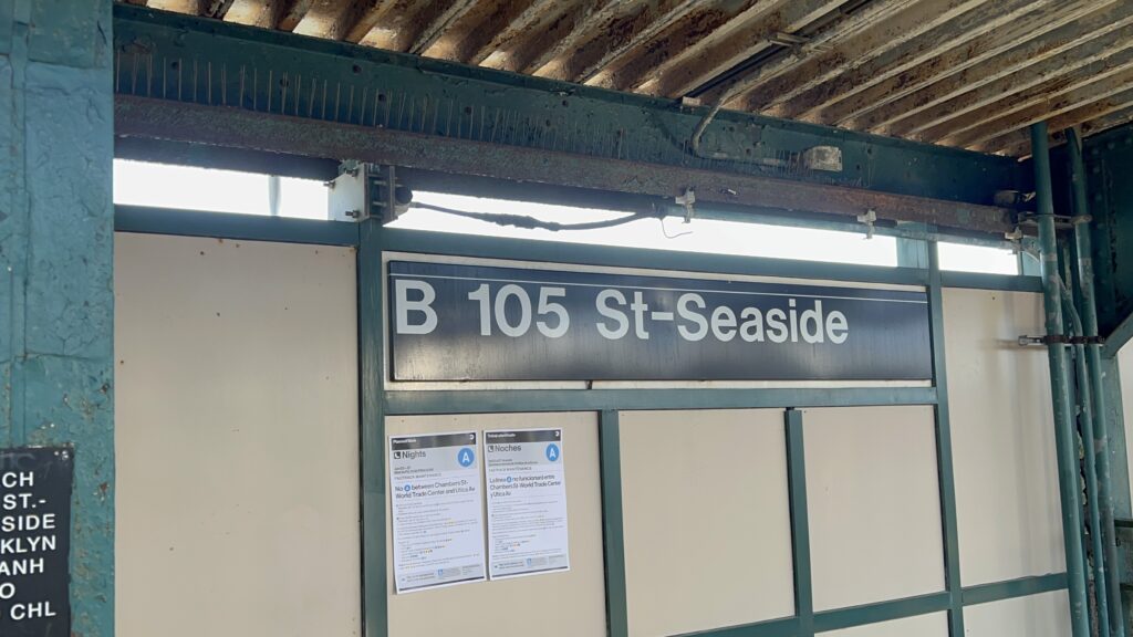
Or, “Beach 105th St.-Seaside”. This is the least-used station on the entire MTA subway system, so let’s look at it!

Signage!

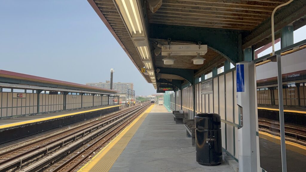
Throughout most of the day, this station is served either only by the Rockaway shuttle to either Beach 116th or to Broad Channel. However, at street level, you also have the Q22 to the LIRR and the QM16 to Midtown, and if you come by at the right time, you’ll also find school tripper Q11s (which, for reference, normal Q11s terminate in Hamilton Beach). The station itself has your standard amenities and even has an OMNY machine, however the land use is not the greatest. Yes, you have a beach within a 5 minute walk on one side, but you also have a wastewater treatment plant right next door. There’s also a ferry dock somewhat close by, a school, and some high rises. Neat!

Honaj and the R46
The grey S
Towards Manhattan and Hammel’s Wye
The other platform
Stained glass!
Stairs
Station mezzanine and OMNY-powered exit
Beyond the gates
This map kinda sucks.
Ancient clock
A normal exit
EWWWW
This is fine.
CONCRETE VIADUCT!!!
This didn’t feel right
Shuttle.
CUTAWAY VAN!!!

The good: It exists and serves nearby beaches and high-rise developments! There’s also a ferry terminal nearby. Land use surprisingly isn’t as terrible as I expected it to be.

The bad: YUCK. IT REALLY SMELLS HORRID THOUGH. *vomits from wastewater scent*. Also, it’s not accessible.

Nearby points of interest: The beach, high rises, the wastewater treatment plant, and a school mainly.

Transit connections:
Rockaway Shuttle (aka the IND shuttle)
8th Ave. (A, limited service)
MTA bus (Q11 school trippers, Q22, QM16)

Overall, while it’s clear that it’s the least-used subway station, it’s surprisingly not as terrible as I was expecting. And, despite that, it very much does have a use case – even if other adjacent stations fill that use better. It does kinda stink though.

Rating: 6.5/10

Bell’s Corner Loop (SEPTA)

The Bell’s Corner bus loop is at the end of SEPTA’s route 59 bus. It’s nothing too remarkable, with overhead wires for the buses, benches, shelters, and facilities for operators. There are no subway, no trolley, or commuter railroad connections nearby, either. The 58, however, does serve the loop indirectly – with stops on Bustleton Avenue. As for land use, it’s actually not that bad, with a housing complex nearby, along with an elementary school. It’s still suburbia though, complete with strip malls, but it could certainly be much worse. Also, there’s a Wawa nearby. Neat.

Ad for SEPTA Metro rebranding
An E40LFR!
The layover facility
A bus nearby
A bus boarding
THE PROPHECY!!! Also, hi Honaj.
A bus laying over
The loop
Someone boarding the bus
Hi!

The good: It exists, and it’s a smart move to turn a turnback mechanism into a bus stop (this also historically was a trolley loop, presumably). Furthermore, it’s got the amenities one would expect for a bus turnback.

The bad: The 58 doesn’t directly serve it, but that’s not a fault of the loop itself. As for faults with the loop, I don’t really have many issues.

Nearby points of interest: There’s a few green spaces, an elementary school, a Wawa, and a housing complex. Also, suburbia.

Transit connections:
SEPTA bus (59, 58 on Bustleton Avenue)

Overall, it’s serviceable, it’s nothing too crazy, but it’s not a miserable place either.

Rating: 6.5/10