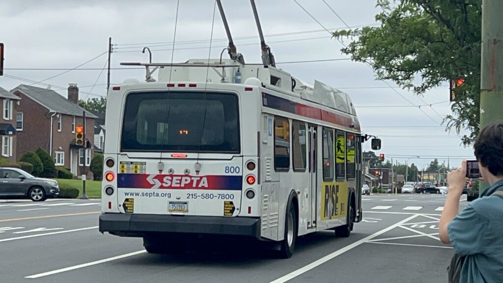
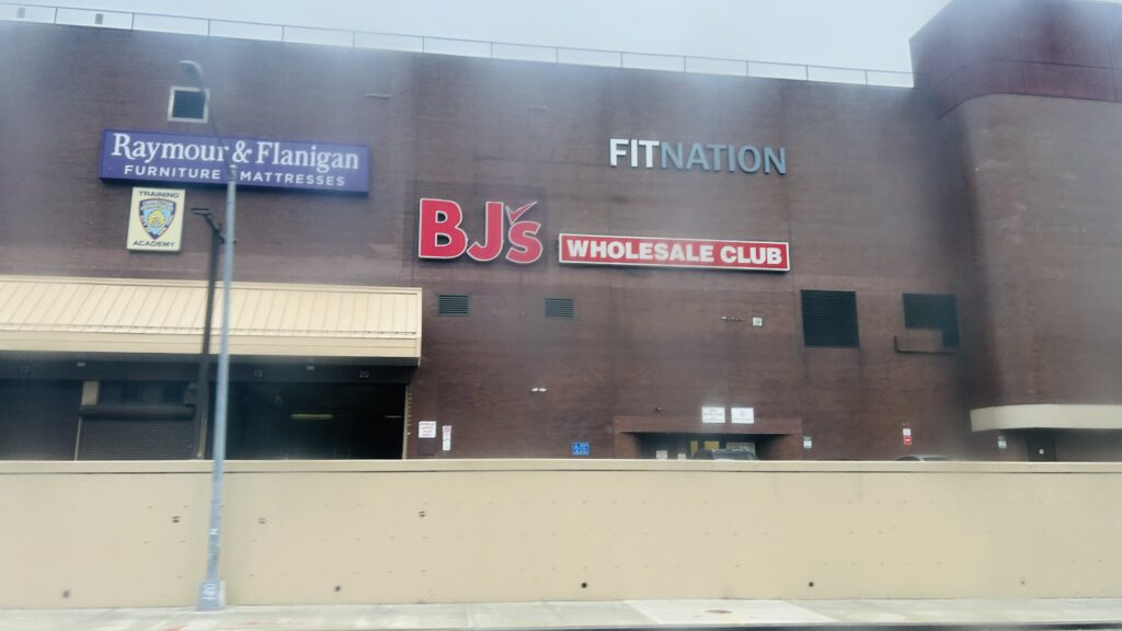
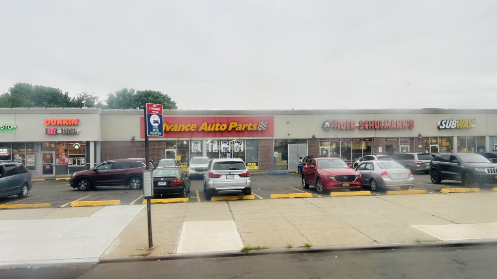
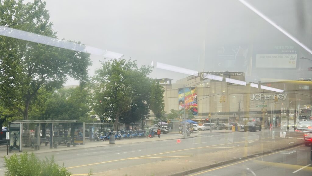
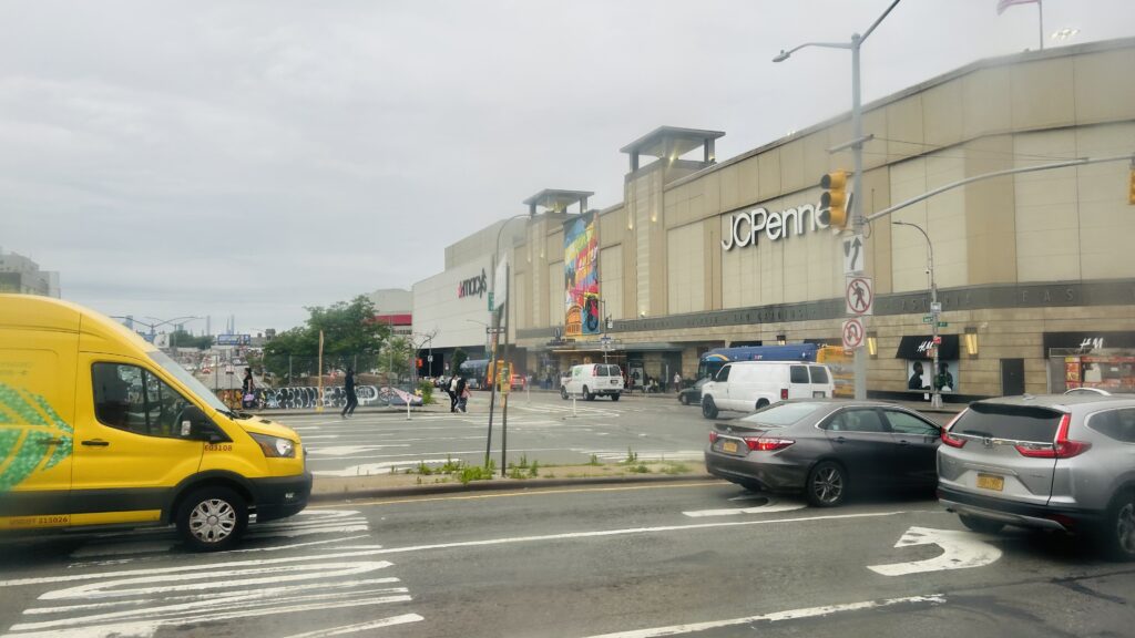
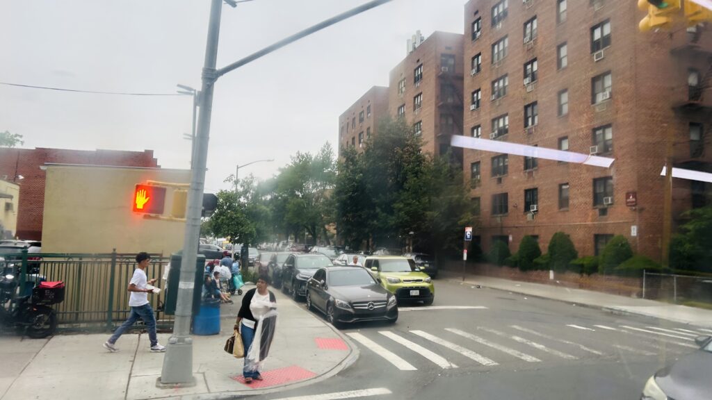
The Bell’s Corner bus loop is at the end of SEPTA’s route 59 bus. It’s nothing too remarkable, with overhead wires for the buses, benches, shelters, and facilities for operators. There are no subway, no trolley, or commuter railroad connections nearby, either. The 58, however, does serve the loop indirectly – with stops on Bustleton Avenue. As for land use, it’s actually not that bad, with a housing complex nearby, along with an elementary school. It’s still suburbia though, complete with strip malls, but it could certainly be much worse. Also, there’s a Wawa nearby. Neat.
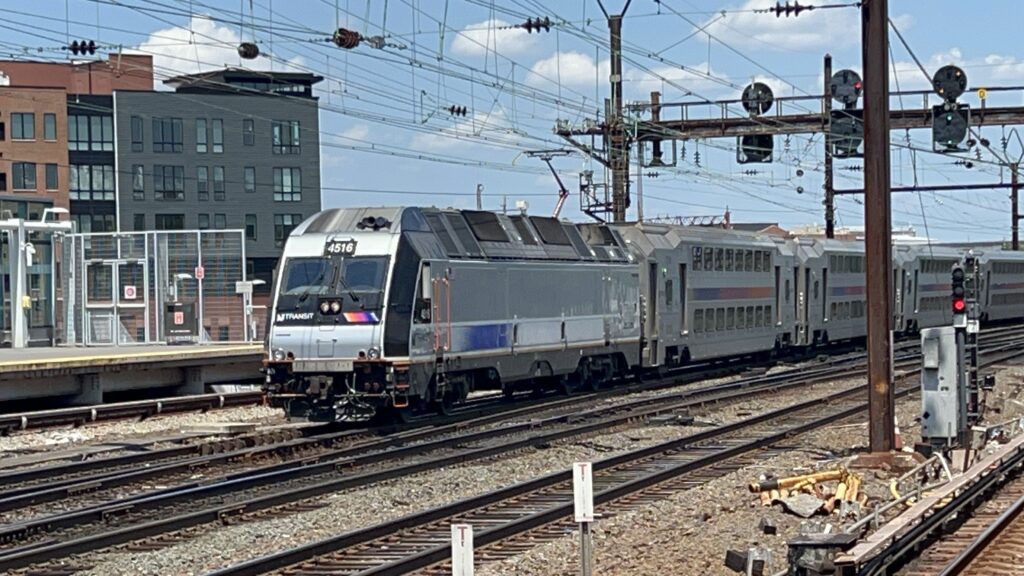
Ad for SEPTA Metro rebrandingAn E40LFR!The layover facilityA bus nearbyA bus boardingTHE PROPHECY!!! Also, hi Honaj.A bus laying overThe loopSomeone boarding the busHi!
The good: It exists, and it’s a smart move to turn a turnback mechanism into a bus stop (this also historically was a trolley loop, presumably). Furthermore, it’s got the amenities one would expect for a bus turnback.
The bad: The 58 doesn’t directly serve it, but that’s not a fault of the loop itself. As for faults with the loop, I don’t really have many issues.
Nearby points of interest: There’s a few green spaces, an elementary school, a Wawa, and a housing complex. Also, suburbia.
Transit connections: SEPTA bus (59, 58 on Bustleton Avenue)
Overall, it’s serviceable, it’s nothing too crazy, but it’s not a miserable place either.
So, for simplicity’s sake, I’m just going to call this entire station complex Herald Square. Yes, the MTA section’s full name is 34th St.-Herald Square. Yes, PATH uses an adjacent street name (33rd St.). No, I don’t care. With that in mind, here’s Herald Square.
Simple enough!
Herald Square, on both the IND (BDFM) and BMT (NQRW) lines, is an express stop with two island platforms on each. The platforms all have your standard amenities of countdown clocks, benches, the usual. The station mezzanine is a little livelier than most, with convenience stores occupying some retail spaces. There’s also MetroCard (at the time of photographing – as of writing this, MetroCard is going the way of the dodo) and OMNY machines as well as station agents staffing the place. Also, helpfully, it’s accessible! Overall, not a terrible- oh, there’s also a PATH station. Let’s talk about that next.
An R68!The other platformPlatform shotIND tilingThe R!BMT tilingBMT platform!
The PATH station is pretty standard. However, it’s a terminus for the Blue and Orange Lines (or, more commonly known as HOB-33 and JSQ-33). There’s ticketing machines, benches, wastebaskets, countdown clocks, and three tracks. There really isn’t much to ring home about here. Yeah, sorry. However, it IS the only other accessible PATH station in Manhattan (aside from the World Trade Center). Lastly, there’s buses at street level. Unsurprisingly.
Headhouse signage!Bus connection!MANHATTAN!!!Herald Square itselfA passagewayThank you for riding NYC Transit!Oh lordILLEGAL!!!ILLEGAL PLATFORM SHOT!!!PATH signage!
The good: It serves Herald Square, is accessible, and has both local and express trains as well as service to New Jersey! There’s also a decent amount of bus connections here, as well. It’s also a block away from Penn Station, so there’s that.
The bad: Eh, not a lot. I mean, it is possible to get lost. But the fact this is the only accessible Midtown PATH station is a concern.
Nearby points of interest: Herald Square itself. But, more famously, the Empire State Building is a short walk, and Macy’s flagship store is here as well.
Transit connections: BMT-Broadway (Lines N, Q, R, W) IND-6th Ave. (Lines B, D, F, M) PATH (Blue, Orange) MTA bus (M4, M5, M7, M34-SBS, M34A-SBS, M55, Q32, BxM2, QM1, QM2, QM4, QM5, QM6, QM10, QM11, QM12, QM15, QM16, QM17, QM18, QM20, QM24, SIM1C, SIM3, SIM3C, SIM10, SIM23, SIM24)
Overall, it’s a centrally located subway station around a few major points of interest, is close to Penn Station, and has direct access to Jersey City and Hoboken. Sweet!
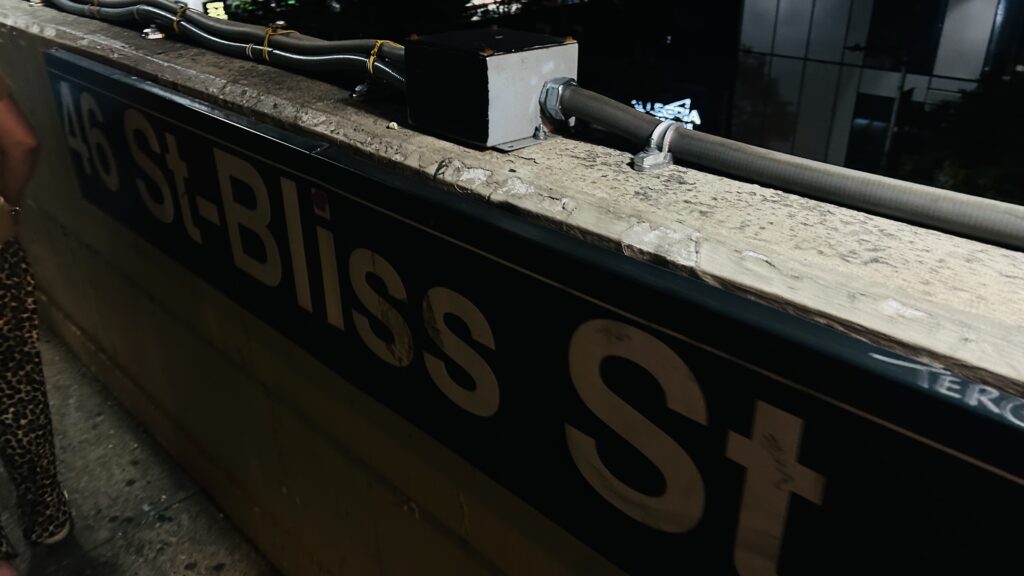
So, I’ve covered both 33rd and 40th St. on this blog. Now, let’s look at the last of the 3 stations on the concrete viaduct over Queens Boulevard. Meet: 46th Street.
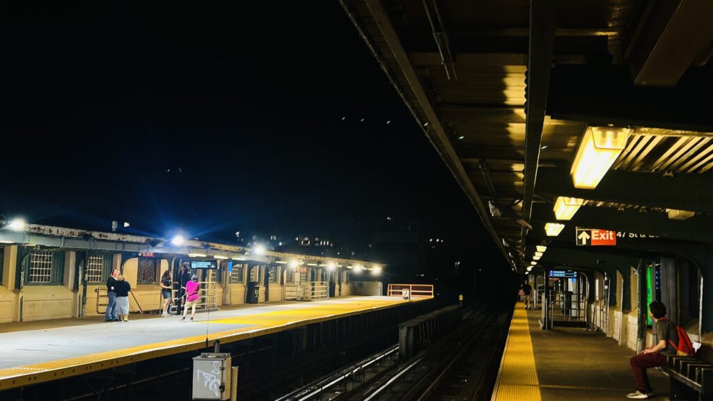
It was about 10PM when I was here, so apologies for it being a tad dark.
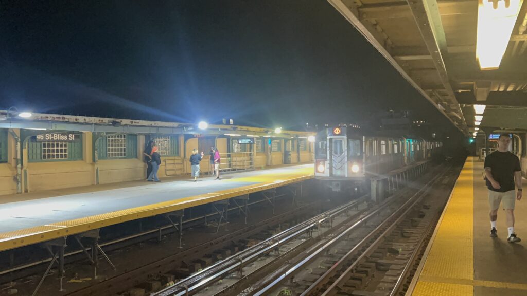
The station largely copies 33rd and 40th Streets in terms of design, right down to oversized bridgeplates to accommodate local service on the express track (due to trackwork on the viaduct near Woodside Station, to rehabilitate the century-old piece of infrastructure). This also means they have the same general amenities: benches, countdown clocks, and whatnot. There’s also no free crossover, and the bus connections are even the same. However, though, since I wrote the blog entries for 33rd and 40th, there HAS been a major proposed change to this station (& as far as I can find, is actually in progress – this also goes for 33rd Street!) – being that there are actually accessibility-centric renovations in progress, up to and including installing an elevator. Woohoo! As for the local neighborhood, it’s Sunnyside. There’s also a sign that reads “SUNNYSIDE”, and the underside of the station is even pedestrianized a bit! Though, I do hope the parking going under the rest of the viaduct goes away sometime and the whole thing becomes pedestrianized as well. Anyways, not a bad station! And, you even get some nice shots of LIC from here!
This goes kinda hard.Oversized platform!Fare control!Street levelThe stairs looking downI see…a skyline.A nighttime shot…a diamond 7???? Oh, right, it’s the super-express 7 that they run on Mets game nightsAnd a normal 7 to Flushing
The good: It serves the local neighborhood! It’s also being rebuilt to be accessible!
The bad: Not a lot, mainly coming down to the lack of free crossovers. Queens Boulevard also isn’t the most pedestrian-friendly street.
Nearby points of interest: There’s a graveyard nearby! Sunnyside, overall, is pretty diverse, and you can find several East, South, and Southeastern Asian restaurants nearby (e.g. Nepali, Indian, Korean, Thai, etc.). There’s, of course, also other cuisines nearby as well. It’s also pretty residential overall, but despite this, there aren’t many parks nearby.
Transit connections: Flushing Line (Line #7) MTA bus (Q32, Q60 on Queens Blvd., B24 on Greenpoint Ave./47th St., Q104 at 47th & Queens Blvd.)
Overall, it’s not a bad station. I don’t really have much new to remark about it. But, holy CRAP, are these stations photogenic at night.
Wait, didn’t I just write about this? Ah, but there’s a SECOND one in the NYC sphere of influence – in Newark. Well, whatever…
SPONSORED BY AUDIBLE?!
Ah, yes. So, Broad Street. It’s the end of the Broad Street branch of the Newark Light Rail, and it’s also a stop on the Morris & Essex County, Gladstone, and Montclair-Boonton Lines. So, the station is not as grandiose as Penn Station is, but it’s certainly not an awful one. The platforms have countdown clocks, level boarding, the usual. There’s stairs, and a heated waiting area. There’s also a station building (which I did not look inside, however given it’s Newark, I have cause to believe it might be staffed). There’s also elevators down to street level. As for the Newark Light Rail, you have ticketing machines, and two platforms. Service through here is one-way, with trains coming from Penn Station serving one set of stops, and trains heading back serving a different set. Lastly, there’s also frequent buses through here. Yippee! Overall, not a terrible station in of itself.
Towards the hinterlandsAnd looking towards NYC/Hoboken and I-280I can faintly see the NYC skyline!The station houseIt was HOTUpdated schedules. Also, hi Honaj.Something operating out of PSNY is running lateDifficult to photographStairs!There’s some parking, I guessHISTORYCLOCK TOWER!!!Light rail station!Looks standard-issue to meTrain shotSee ya!
The good: It serves the northern edges of downtown! Furthermore, it has the NLR connection to link it and Penn Station, and it’s also within walking distance of a few colleges. There’s also many a bus connection.
The bad: I can’t really think of many. Though, why was the heated waiting area’s heating mechanism powered on? It wasn’t winter.
Nearby points of interest: Rutger’s Newark campus and NJIT are both close by! There isn’t much nearby, sadly.
Overall, it’s a nice little station. I mean, yeah, there’s parking, but it’s not obscene – especially given there’s a bajillion surface lots nearby anyways. Bleh.
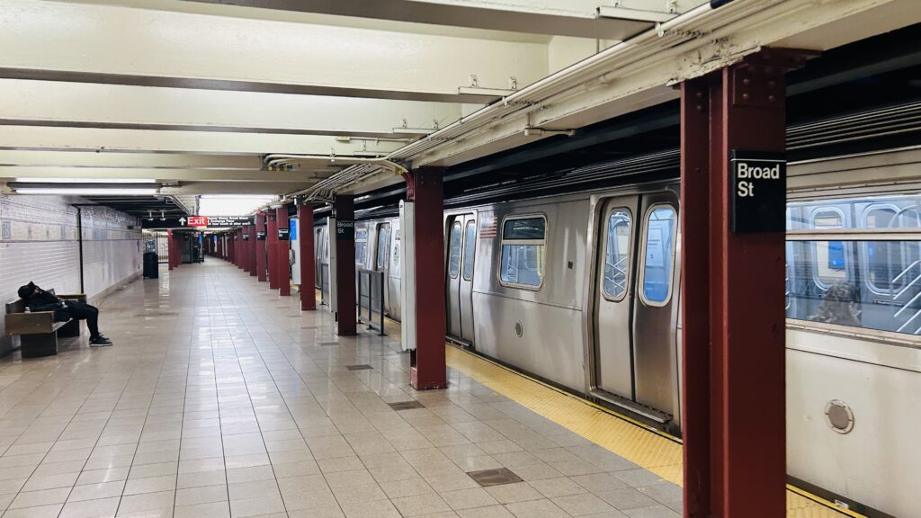
Broad Street is the end of the line, presently, for the J. Located in the heart of lower Manhattan, it’s unusual as far as termini go with its 2 side platform setup, and as such its turnaround mechanism is more akin to Ashmont or Wonderland on the MBTA (where trains pull past the station and into a pocket track, then cross back the other way). However, is Broad Street any good like those two stations? Let’s find out.
BMT mosaic!!!
Broad Street isn’t accessible. Not at present, anyways. However, a proposed skyscraper includes plans to install elevators directly to the platforms, which would in turn make the station accessible (on a line that REALLY lacks accessibility – where the only accessible stops in Manhattan are Brooklyn Bridge/Chambers St., and Fulton St.). The station mezzanine has your usual stuff: ticketing machines, a station agent staffing the place, faregates, the usual. However, there was something I learned about after the fact that I completely missed: there’s an out-of-system transfer between here and Wall Street on the 4/5 lines via a passageway under Pine Street. As for within fare control, J train pulls in, leaves into a pocket track (the tracks also continue through to the Montague Street tunnel, meeting with the R), pulls back out on the uptown platform. There isn’t really anything noteworthy beyond the usual stuff. Yeah, sorry. But, there are some cool things at street level nearby. I’ll talk about it in the “nearby points of interest” section.
The headhouse signage – the J and…..a sideways N?ExitStation lobbyThe stairs down to the platformA waiting areaThe platformUPTOWN. LOCAL. J. TRAIN.Not a Z.Street level – indeed, that is the NYSE.
The good: It serves the deepest parts of the Financial District! While it may not be as functionally critical as the likes of South Ferry or the World Trade Center station complex, it is in a more central location geographically. However, the area very much does hold significant U.S. history as well.
The bad: I think the worst is that this station isn’t accessible. It’s not useless, as for a considerable amount of people, it’ll get them close to their job as needed, and there ARE touristy places nearby.
Nearby points of interest: The big one is the NY Stock Exchange – which, if you’re into following the stock market (I don’t know how many people reading this do that), it’s kind of a mission-critical place. Also, for the history buffs, this is also the closest station to Federal Hall – which was the location where George Washington was sworn in as the US’s first president in 1789. Unfortunately, it’s not the original building as that got demolished in 1812. Eventually, a custom house would be built on the site, and in 1939 it was deemed a national historic site by the Interior Secretary at the time, and eventually the National Park Service took it over from the Subtreasury. As for other things nearby, well, you have Trinity Church (but the 4, 5, 1, R, and W can get you closer), as well as a bunch of skyscrapers.
Transit connections: Nassau St./Jamaica (J)
There’s not really much in the way of buses closer to this station than any other, but I’ll talk about the closest bus connections when I cover Wall St. on the 4/5. Yeah, sorry.
Overall, it’s not a bad station. The usefulness is pretty high up there, even if there’s relatively few points of interest unique to this station. But, with how tightly packed lower Manhattan is, everything is ultimately a short walk away anyways.
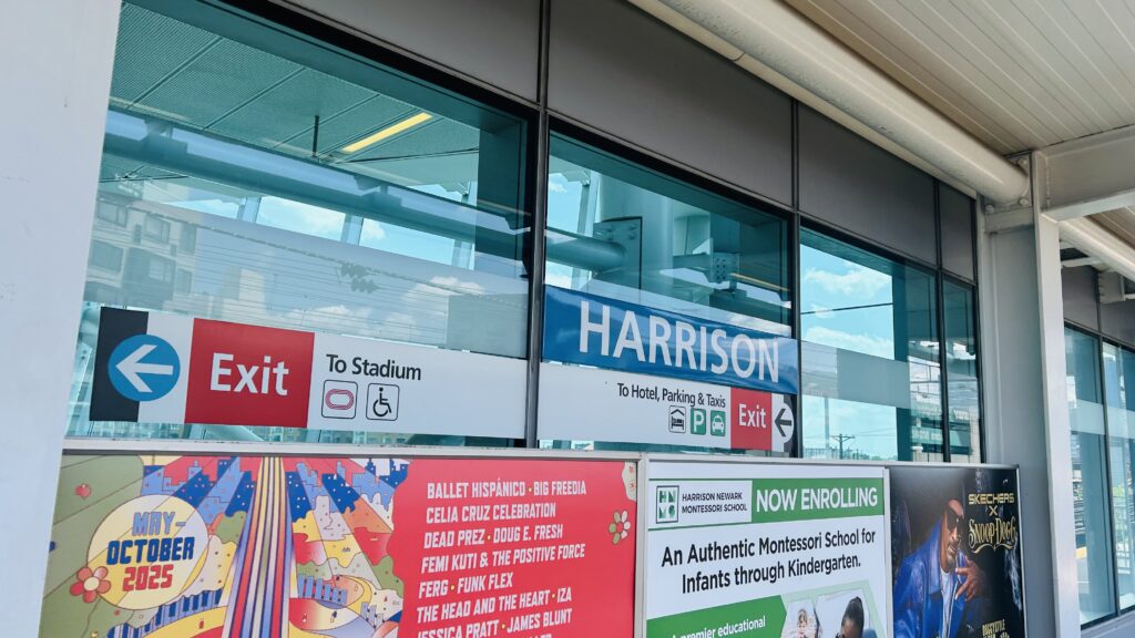
Harrison is a PATH station located on the Northeast Corridor, a stone’s throw from Newark Penn. It’s also one of the newer PATH stations as far as rebuilds go, being rebuilt in 2018-2019. With that in mind, let’s take a look at it.
Signage! We’ll get to what “To Stadium” means in a little bit.
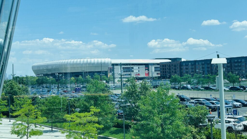
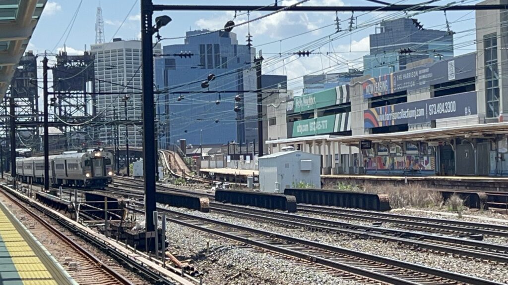
The station sits atop the 5-track Northeast Corridor (2 of which are used for PATH), and consists of two side platforms. The Newark-bound and Manhattan/Jersey City-bound sides are largely the same, with no free crossovers. The platforms consist of countdown clocks, benches, wastebaskets, the usual stuff, along with modern glass headhouses. The station, having been rebuilt in 2018-19, is fully accessible as well, and it’s even a stone’s throw from Sports Illustrated Stadium. The station’s mezzanine is also modern, with ticketing machines, faregates, TAPP readers, and there’s even a bus connection outside (to a bus that has an identity crisis, though at worst is hourly). It’s also a pretty nice place to railfan the Corridor, and you even have the giant imposing drawbridge that doesn’t open much (if ever) not that far upstream. Neat!
WEEWOO WEEWOOwhat the fuck are those funky-looking signalsI spy…..a giant imposing metal drawbridgeAnd the corridor, looking towards Manhattan and HobokenILLEGAL PHOTOGRAPHY!!!oh you’ve got to be SHITTING me! (not all hope is lost at least – Gotham FC calls this place home!)The escalators. I didn’t go to street level because I really did not want to TAPP back in.There were no Gotham FC games today – this is all pure park & ride traffic. Also, the SKYLINE VIEW FROM HERENJ TRANSIT!!!ALP FOURTY FIVE DEE PEEAnd a full bilevel set!NJT bilevel #7059Next stop: Newark!GET ME OUTTA HERE!!!
The good: It’s a modern and relatively very new station! It’s accessible, looks cool, has a decent amount of parking, and the area nearby has been facing redevelopment in recent years (by the looks of things). There’s even a bus connection!
The bad: PATH only shows up every 20 minutes, the bus sometimes has an identity crisis in frequency (sometimes every 15, sometimes hourly), and there’s several bigass parking lots. Now, I get that every system invariably needs that one station that’s a parking sink, and this unfortunately got the short end of the stick on that front, but c’mon, can’t Newark fill that job with its parking garage instead?
Nearby points of interest: Sports Illustrated Stadium, home of Gotham FC of the NWSL. Wait, there’s someone else calling that stadium home, too? Ugh, okay, I guess I’m supposed to acknowledge the existence of the Red Bulls… I think I’m gonna go puke now. Fuck the Red Bulls, NYCFC or bust. Am I allowed to slander their supporter group as a casual NYCFC enjoyer? Anyways, what else is nearby? Oh, a strip mall and a Seabra. Whatever.
Transit connections: PATH (Red/WTC-NWK) NJT bus (40)
Overall, I’LL TELL YOU HOW I FEEL ABOUT THE BLOODY RED BULLS! SHITTY ENERGY DRINK, SHITTY MLS TEAM!!! THEY COULDN’T EVEN MAKE IT INTO THE PLAYOFFS! As for the station itself, it’s actually quite nice and rather modern.
Rating: 8.5/10
FUCK THE RED BULLS! (Gotham FC is alright, though!)
Journal Square is a station located in the namesake Journal Square neighborhood of Jersey City, located at the intersections of JFK Boulevard, Pavonia Avenue, Sip Avenue, and Bergen Avenue. The area itself is named after the Jersey Journal newspaper, which used to be headquartered here for about 100 years, before leaving in 2013 (& subsequently ceasing publication entirely earlier in 2025). Also of note is PATH’s headquarters being located here, inside the station house built above the tracks. Let’s look at it.
Station signage from an angle
The platforms are pretty well-lit and, given it’s PATH, are clean. You have countdown clocks, ad displays, benches, wastebaskets, and the usual. The track configuration is a little unusual given it’s PATH, being two island platforms. However, this works out quite well for operational reasons, as trains to Midtown terminate/originate here. There’s, from what I’ve observed, timed connections between trains to Newark (/Lower Manhattan) and Midtown trains that seem to be guaranteed? At least, the transfer is a simple “across the platform” transfer. Per Wikipedia (I forgot in the few months since being here), Midtown trains use the inner tracks, while Newark/Lower Manhattan trains use the outer tracks. Also of note, is there’s a grade crossing with gates here, for whatever reason. Anyways, moving on!
Lower Manhattan-bound train!I think this platform is for PATH workers only?Pole signage!Countdown clocks!It does not smell like piss!Mezzanine shot!out of service?!A shot of a train going to MidtownPlatform shotThe train rolls in (also, shoutout to the foamer who recognized me!)Escalator shot!
Moving on, the station mezzanine has TAPP-enabled gates, TVMs, among other things. With this being PATH HQ, there’s also a Port Authority PD precinct, and there’s also a bit of a shopping center in the station (albeit not to the same degree as the World Trade Center). Lastly, there’s a busway for NJT buses going out to Newark, Secaucus, Bayonne, Exchange Place, Greenville, and even the PABT. Neat! While it may not be Exchange Place or Newport, as far as density, it’s still pretty well built-up and does have a couple high rises of its own. Overall, though, not a bad station!
Escalators outsideThe shopping center in the stationThe buswayThat’s a LOT of bike parkingneat!Welcome to Jersey City!JOLLIBEE?!
The good: It’s accessible! Operationally, cross-platform transfers seem to be a thing here, as well, which is nice. There’s a busway, for bus connections without having to go hunting down the correct stop at street level. PATH’s headquarters are located here, as well. Furthermore, it’s well-lit, and the fact it’s built in a trench makes for some cool-ish train photos.
The bad: I can’t really think of much. I mean, the outside gives the station an identity crisis, kinda? But does that really matter?
Nearby points of interest: There’s a theater across the street! PATH HQ is also here! There’s also a history museum close by, as well as an MVC office. Hudson Co. Community College is also near here! There’s also a Jollibee (not many in the US). And, I turned to Avery for some more guidance on this, and he noted that there’s a Jackie Robinson statue in the area, along with the nearby Four Corners neighborhood being Little Manila, India Square having the highest concentration of Indians in the Western hemisphere, and there’s also a thriving Arab community, as well. And, lastly, there’s also the Newkirk house, which is the oldest building in the city (built in 1690!!!)
Overall, it’s a pretty nice station. It’s relatively modern, has a decent amount of bus connections, and I do hope the area gets more dense as the years progress. Also, shoutout to Cryorig_Transit05 (on IG)! Nice running into you here.
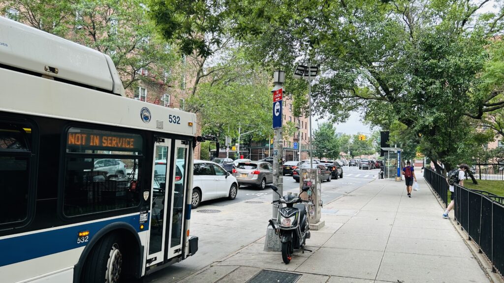
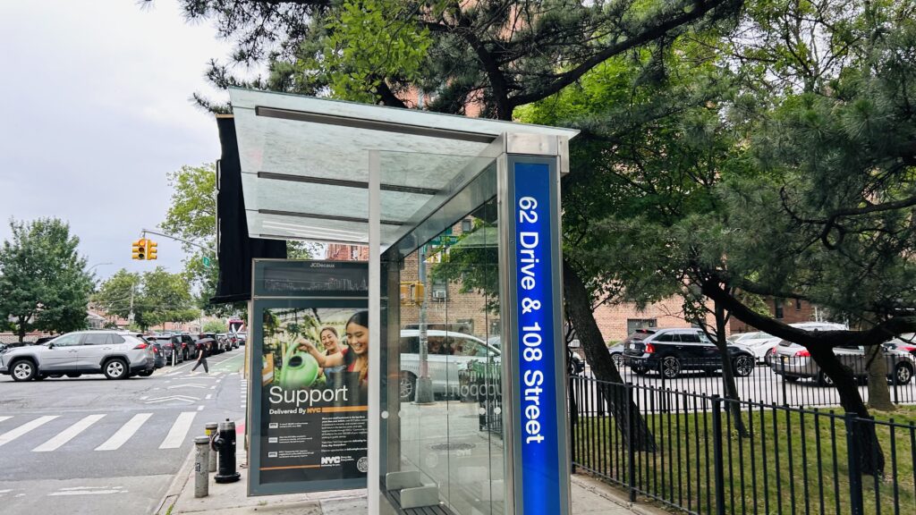
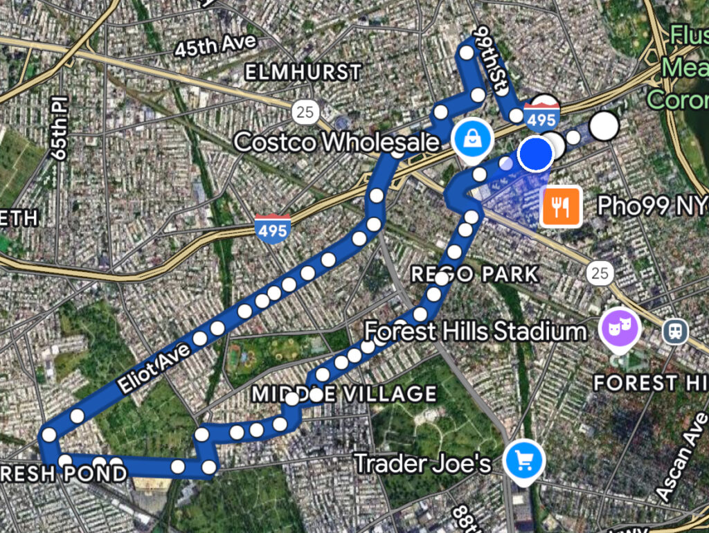
The Q38 is an anomaly of a bus, and quite possibly one of the few that was saved by being severed in two during the bus network redesign changes. For those who don’t know, the Q38 used to form a U shape that took 50 minutes to, essentially, go half a mile. The deviation index? 24.34. YEP. However, for the purposes of this blog, I’m only really going to count the new Q38’s routing towards the scoring (that has been unchanged aside from being severed into this and the Q14 near Middle Village station). With this, welcome to the former most deviatory bus in NYC.
Bus stop!The beginning of the madness
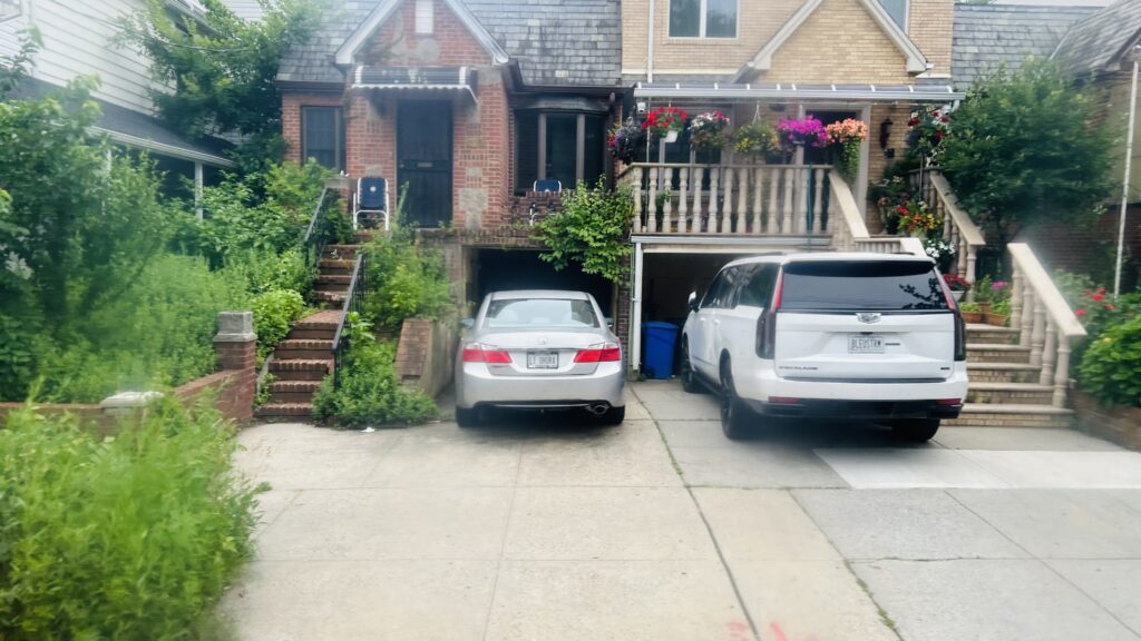
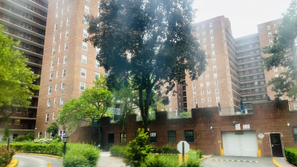
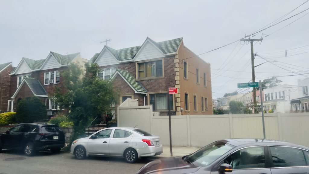
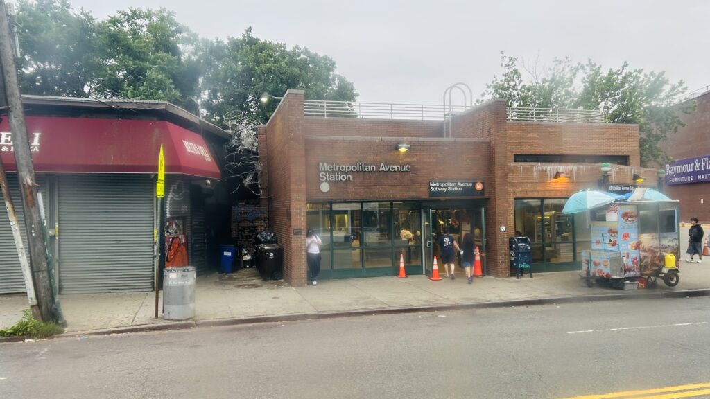
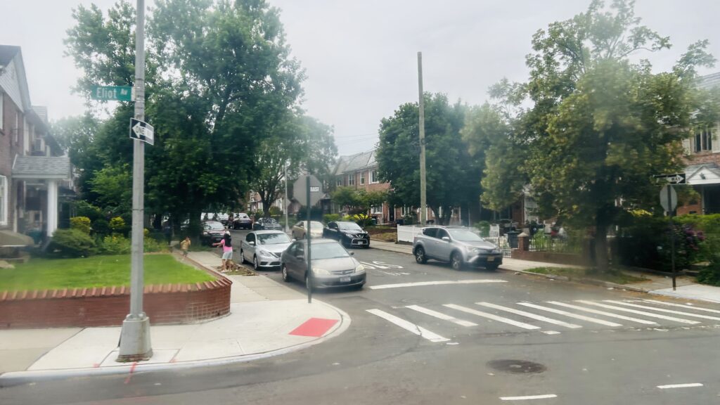
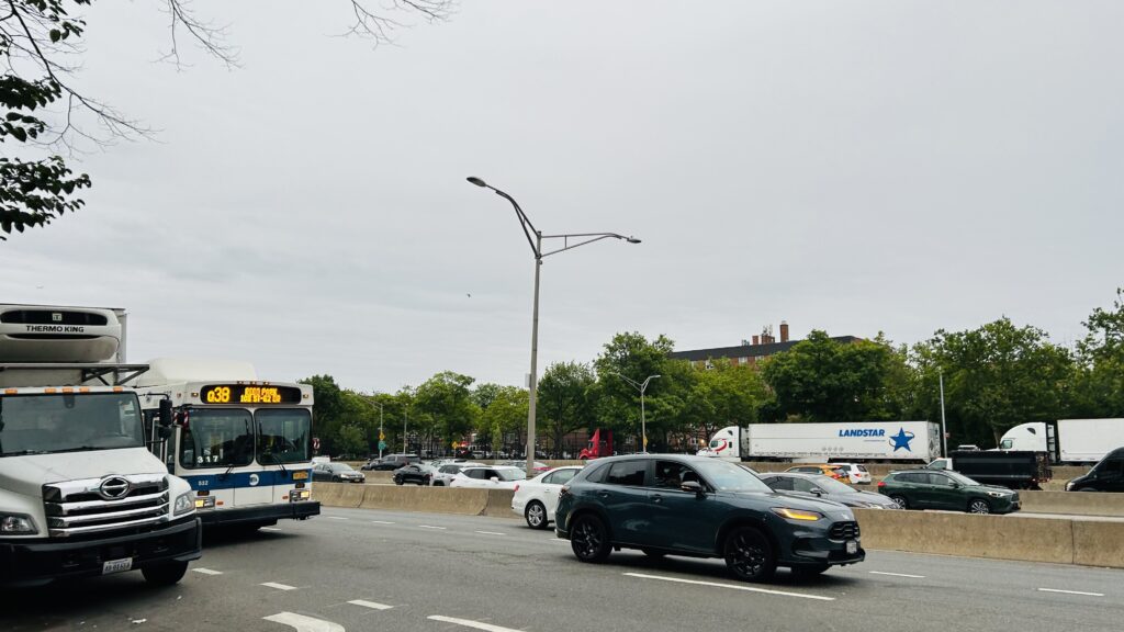
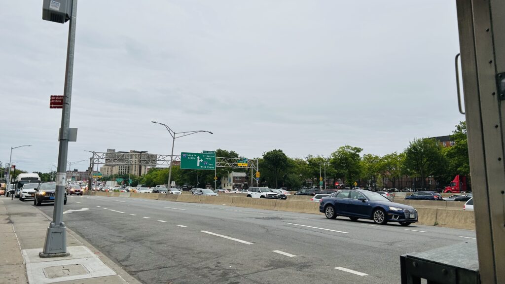
The Q38 in its current form didn’t change much from when I rode it, up to Metropolitan & Eliot Avenues. With that said, the route is a straight shot down 62nd Drive, a turn down Queens Boulevard with a connection to the M/R lines, and then things get SLOW. The route weaves through the streets of Middle Village, going down Penelope Avenue, Woodhaven Boulevard (briefly), Juniper Valley Road, and eventually Metropolitan Avenue, ending at Metropolitan & Eliot. In terms of scenery, it’s mostly residential, although you do have various shops near Queens and Woodhaven Boulevards. Certainly, it could be a bigger stinker as far as land use goes.
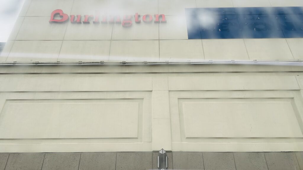
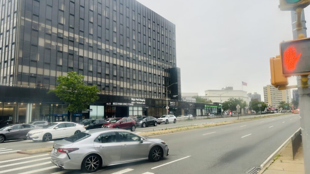
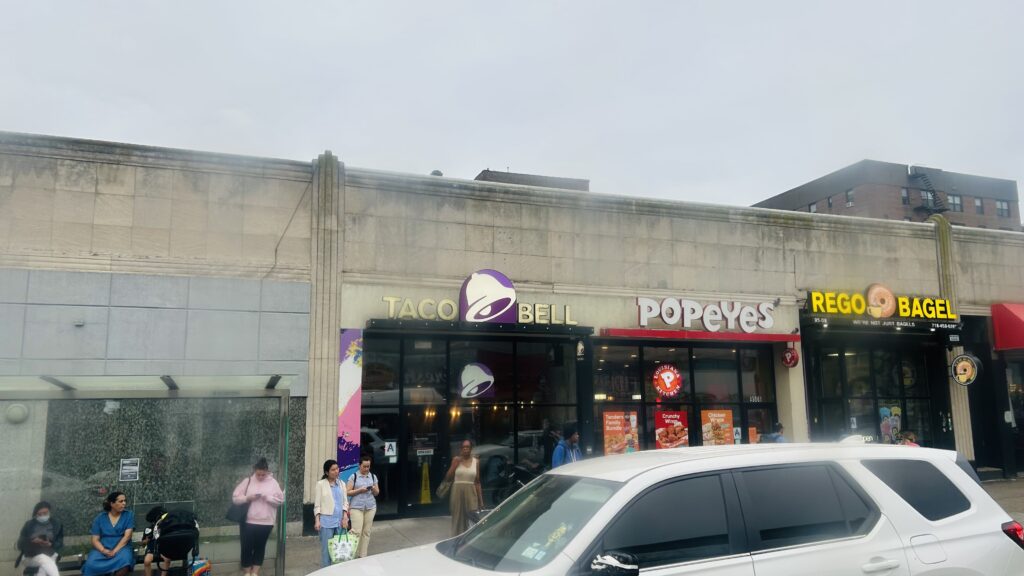
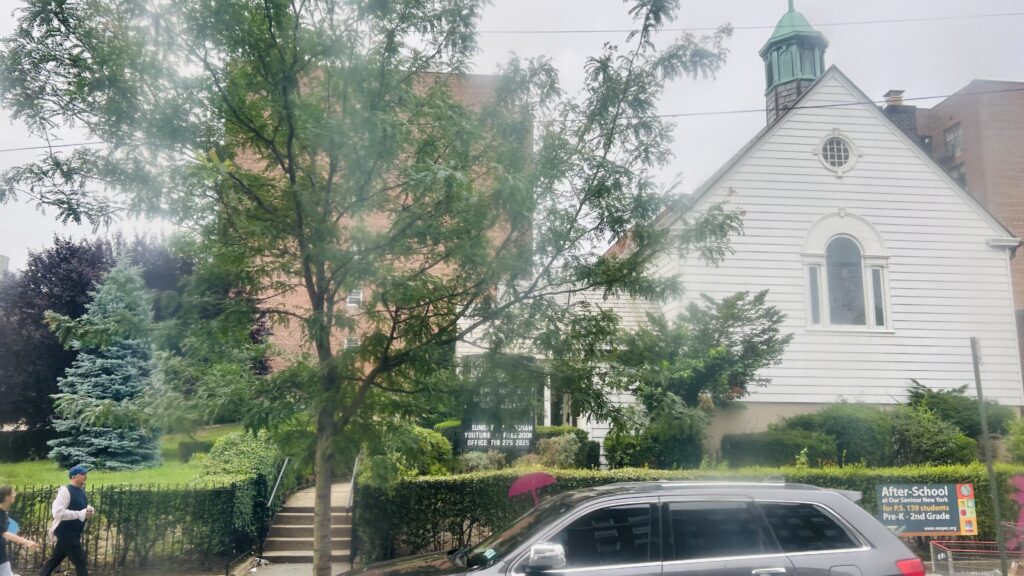
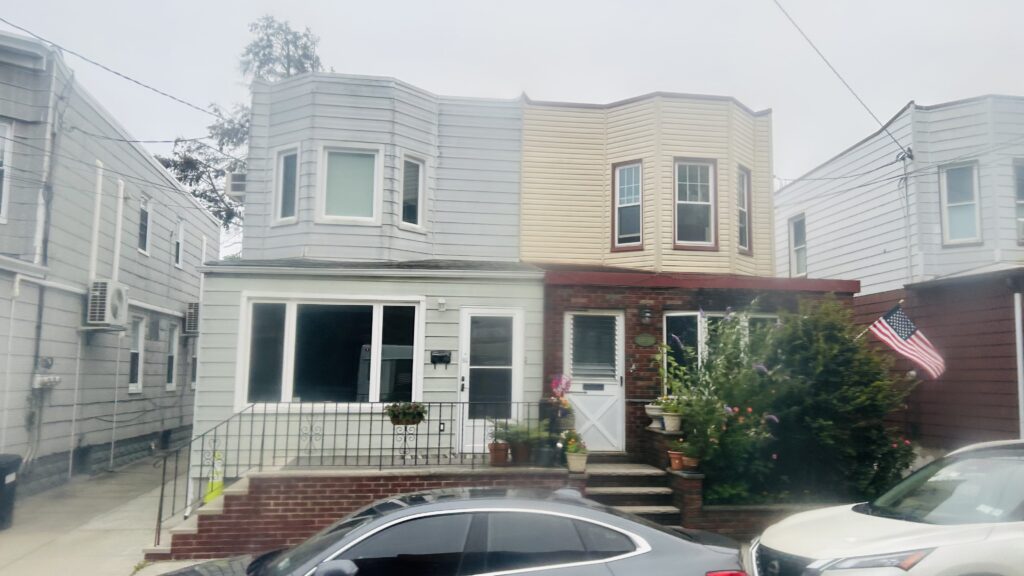
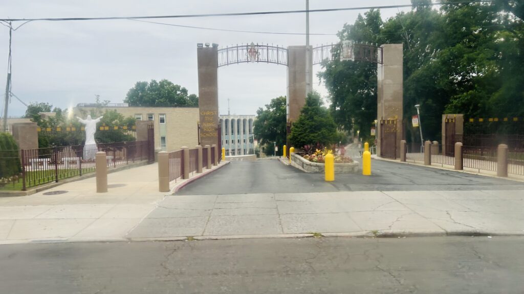
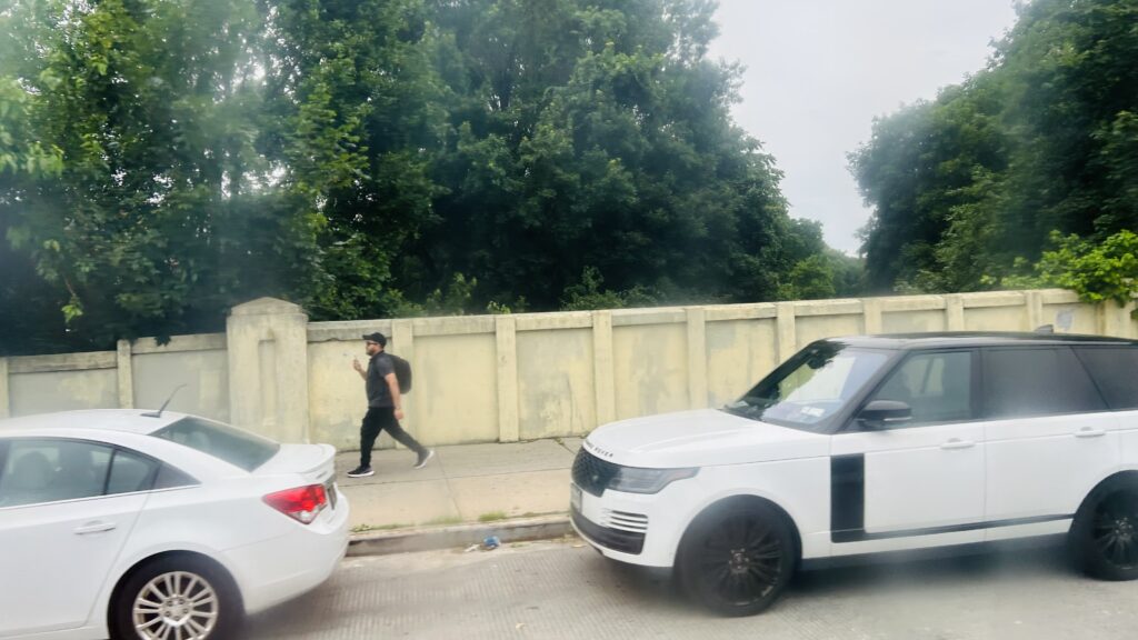
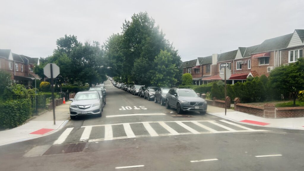
Residential!Section 8?Burlington!The rather wide Queens BoulevardTaco Bell!A churchMore density!Woodhaven Boulevard!HOUSING STOCK!!!More housing, less densityEven more. Oh my.Now we’re doing row housing?There’s this.The M!BJ’s!
In terms of the section axed, it’s a return back up to Corona via a straight shot up Eliot Avenue and Woodhaven Boulevard, serving the M/R again, going into the Queens Center Mall, and then turning towards the Horace Harding Expressway (I-495), terminating around there.
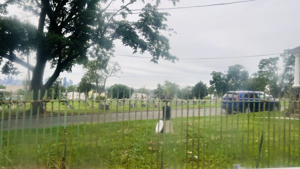
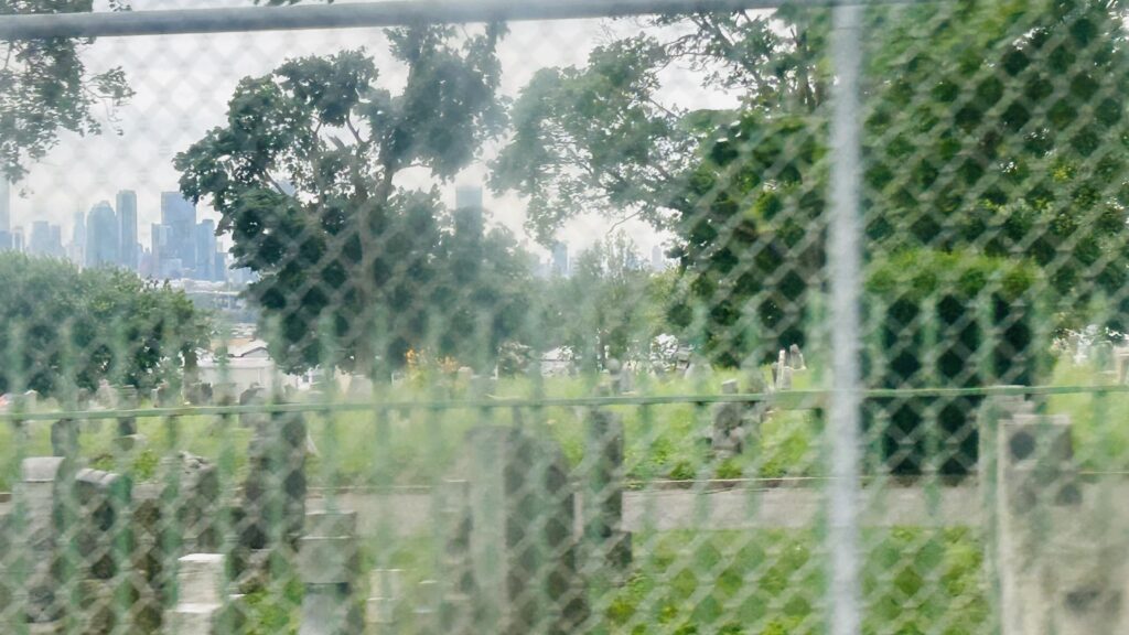
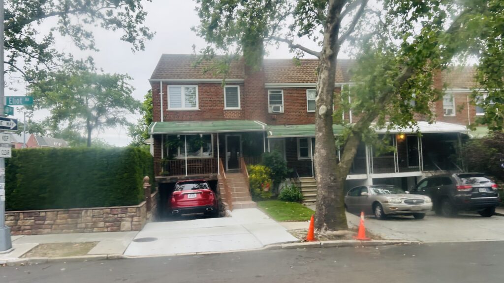
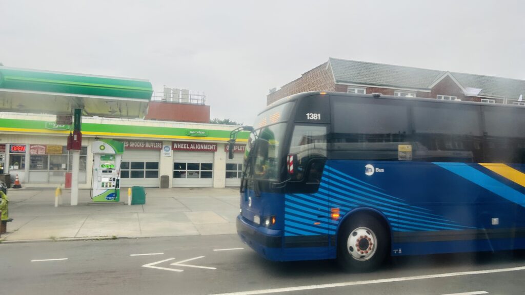
Something.I believe this was the Lower Montauk lineSuburbia!A graveyardOoh, you can see (what I think is) the LIC skyline!Back to this stuff againAnother busI think this one is the Bay Ridge line (eventually to be the Interborough Express!)Street parking galoreThis reeks of suburbiaUnder the LIRR mainlineThe Queens Center Mall, my malignedQueens Boulevard!HousingMore stuffEven more housing stockAND EVEN MORE!!!I did it…I BLOODY SURVIVED THE QUEENS ROUTE 38.
The good: It’s (now) a mostly normal straight line between Rego Park and Middle Village! It serves the local neighborhood and at a rather frequent 10-20 minute headway. It also connects the M on both ends, so it conceivably could be faster than taking the M in a giant circle.
The bad: I think the biggest stinker for this route comes down to Queens traffic patterns. Which, isn’t the worst, but can still be unbearable at times. It also doesn’t run overnight to connect the M shuttle to the E/F more directly.
Nearby points of interest: I think the Best Buy, Burlington, and Queens Center Mall are the biggest ones. There’s also a park, graveyard, and a Costco.
Overall, it’s a funny route (historically), and it does well to connect the two segments of the M.
Wait, didn’t I already cover this? Well, yes, but also no. Meet: PATH’s Christopher Street.
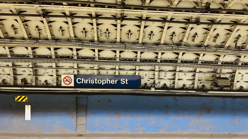
PATH signage
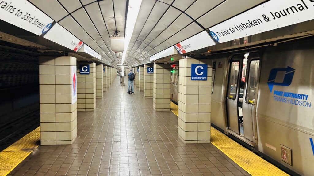
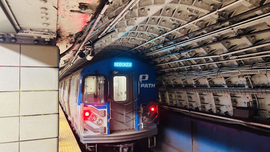
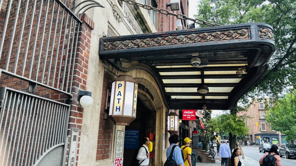
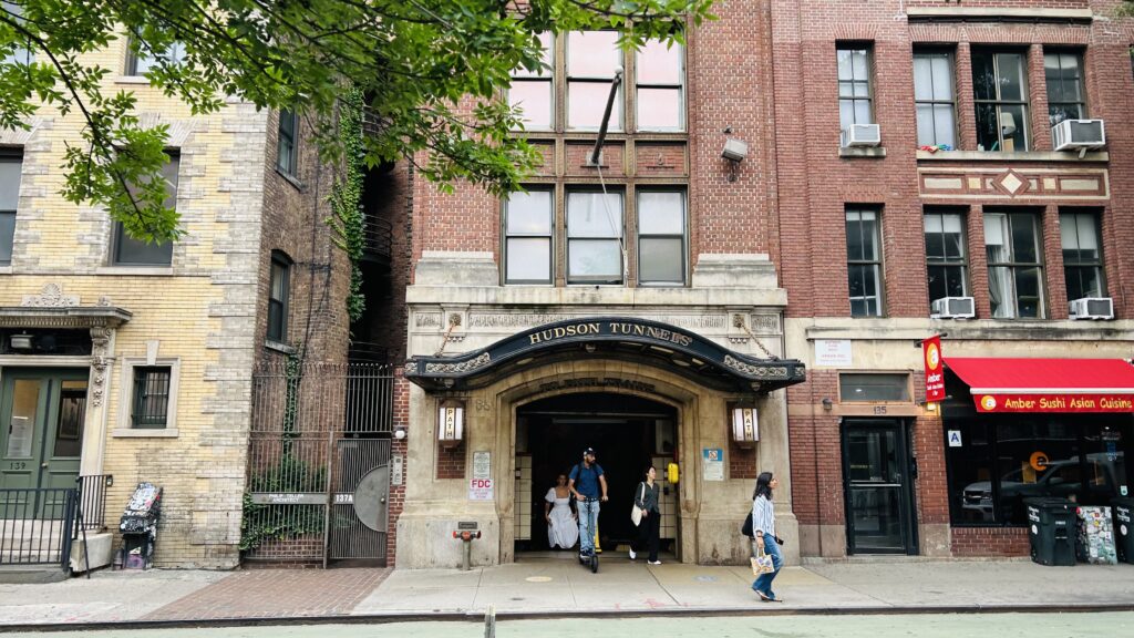
The station is served by trains to Journal Square and Hoboken, coming from Herald Square. There is a singular island platform, with benches, stairs, and whatnot. There’s also turnstiles and a staircase up to street level. As for the headhouse, it’s pretty unassuming, much like 9th Street (the next station up). However, also much like 9th Street, it’s not accessible. If you need accessibility, your best bet would be to take the M8 to the BDFM and change at Herald Square instead. Yeah, sorry, but PATH in Midtown isn’t known for accessibility.
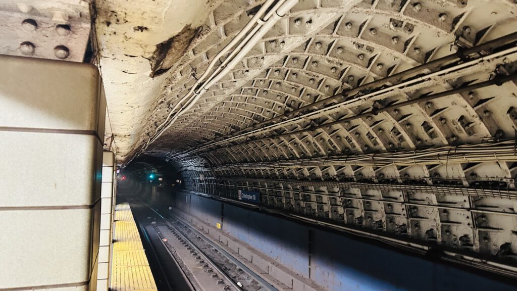
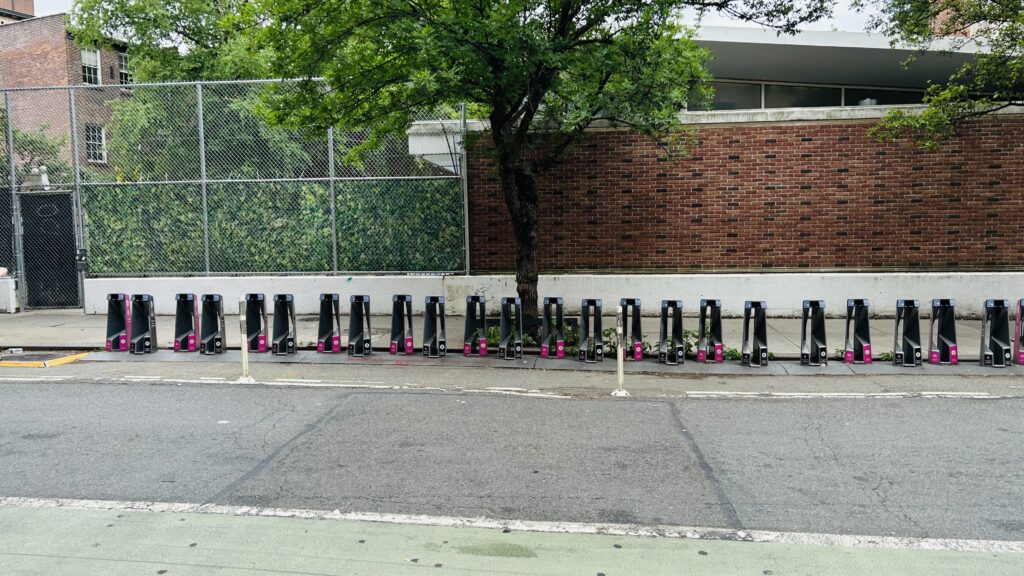
Platform shotFUCK YOU, PORT AUTHORITY! I’LL PHOTOGRAPH AS I DAMN WELL PLEASE!Tunnel shotBikeshare!PATHThe headhouseI forgot what this wasAnother street level photo
The good: It exists. It also serves the West Village and gives a direct connection to Jersey City and Hoboken.
The bad: It’s inaccessible. There’s buses but it’s out of the way to get to an accessible station. The platforms are narrow as hell. NIMBYism even led to an entrance rebuild being cancelled. Bloody NIMBYs…
Nearby points of interest: You have a pier, a relatively quiet part of Greenwich Village (but remember, this is Greenwich Village, so quiet by that standard still isn’t really quiet – especially during Pride month), and while further than the 1’s stop, the Stonewall inn.
Transit connections: PATH (JSQ-33rd St., Hoboken-33rd St./Yellow, Blue) MTA bus (M8, M20)
Overall, this station is really old and actually kinda sucks. Especially for accessibility.
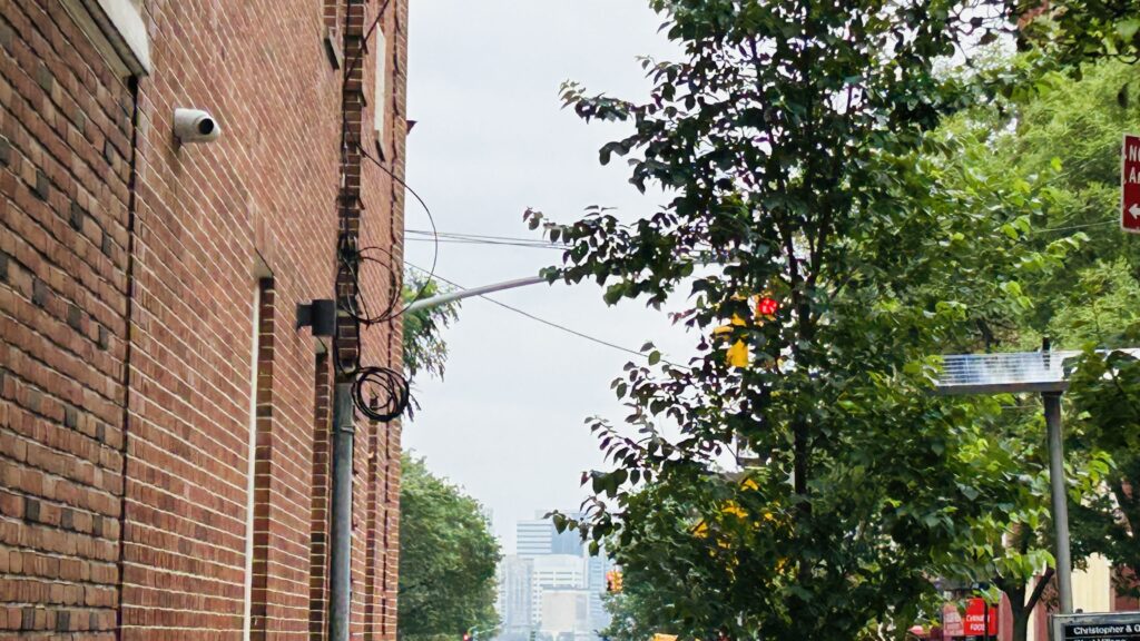
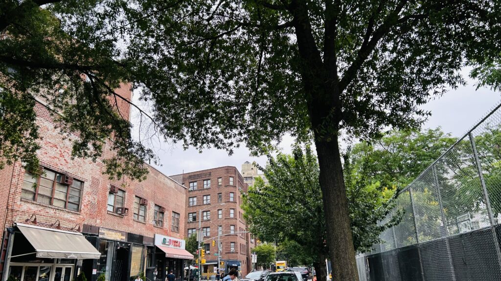
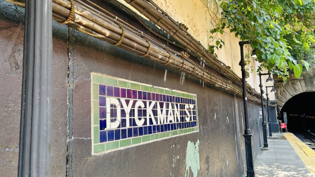
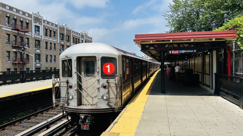
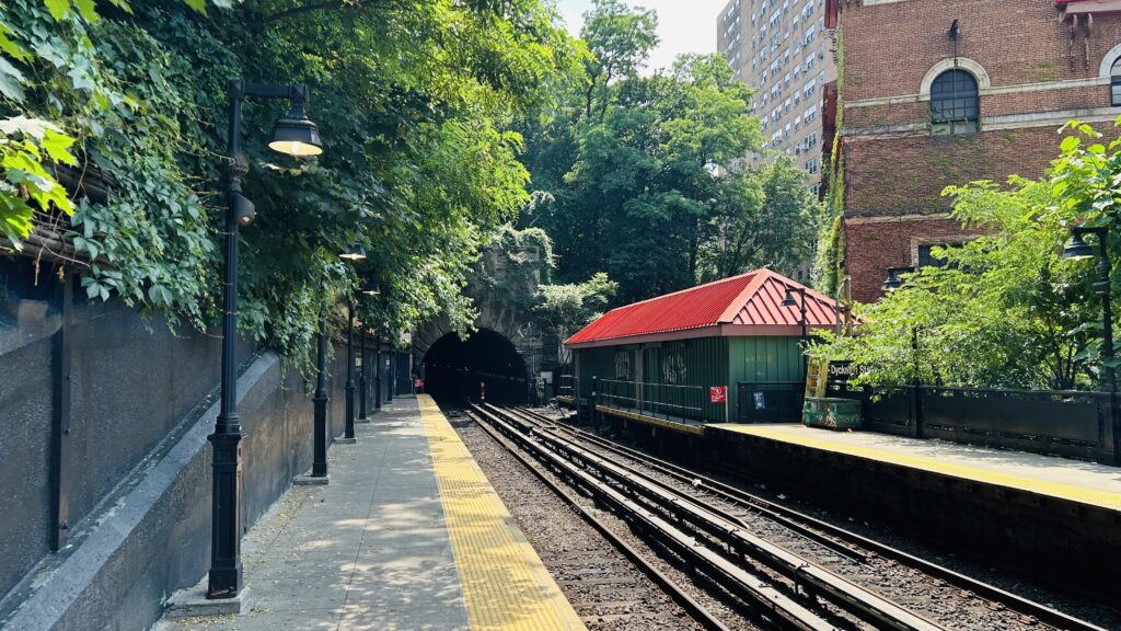
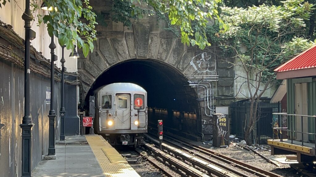
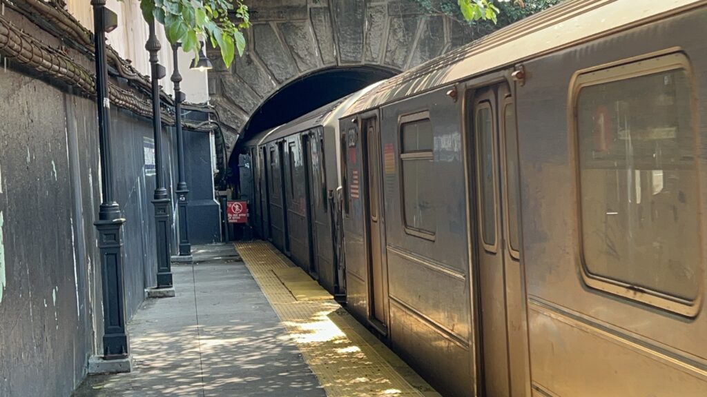
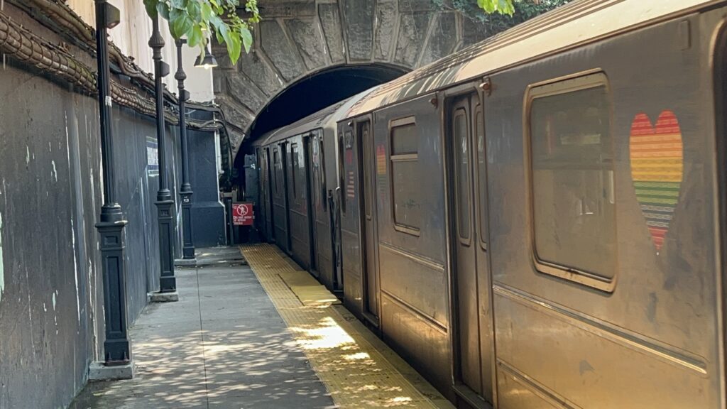
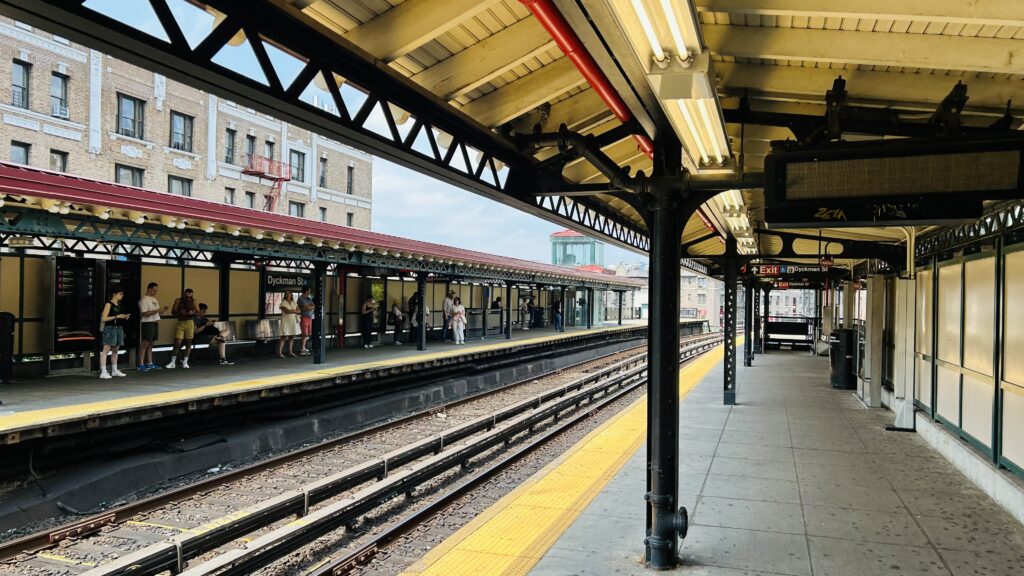
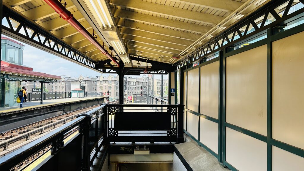
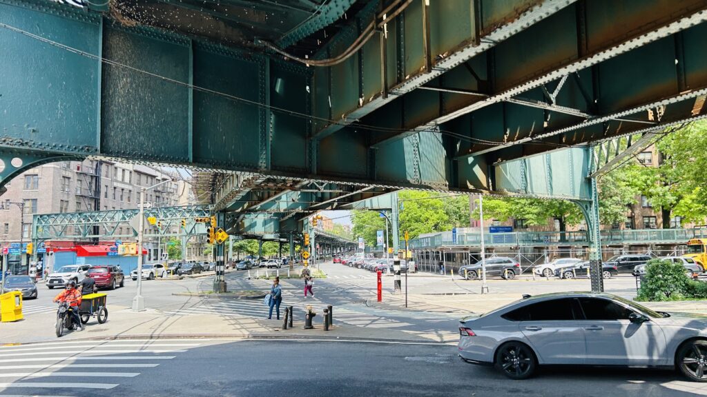
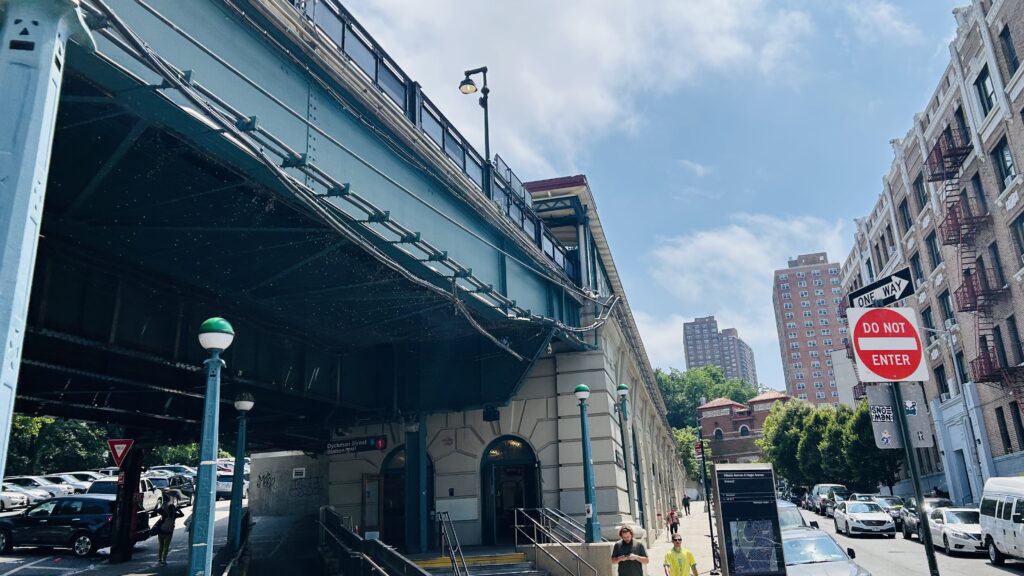
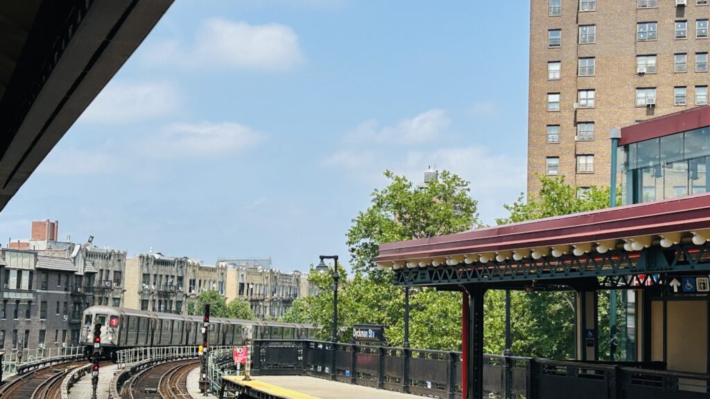
Dyckman Street is a station in the upper reaches of Manhattan located at a weird-looking intersection where Nagle Ave. converges with the namesake Dyckman Street, alongside Hillside Avenue and a road going up Fort George Hill. It’s also a local stop on the #1 line (not to be confused with the A line stop of the same name). It’s also the first non-underground stop past 125th, located at the mouth of the tunnel.
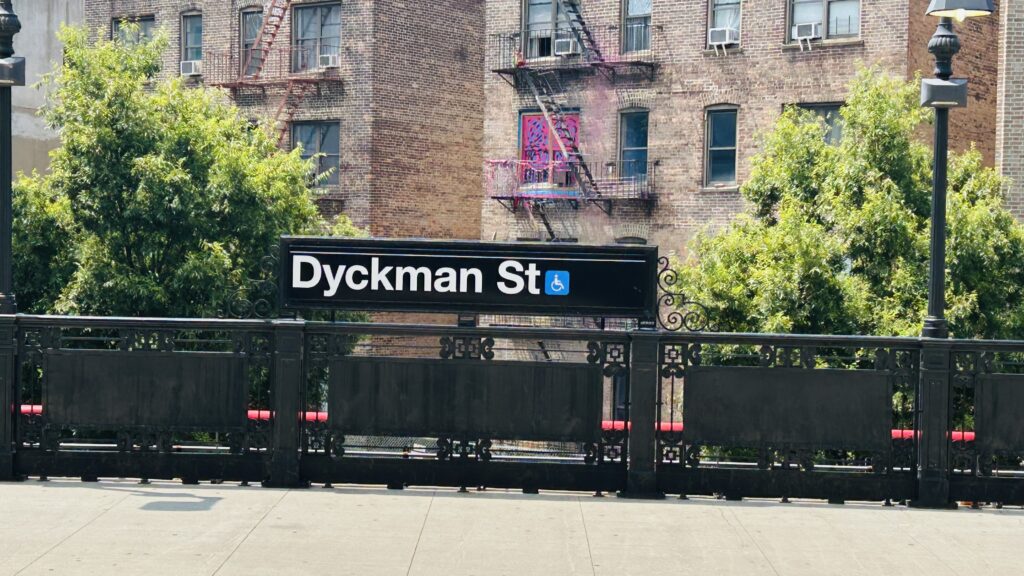
Tiling!More standard signage
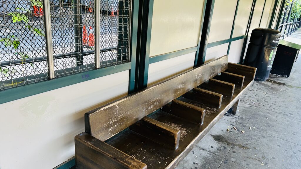
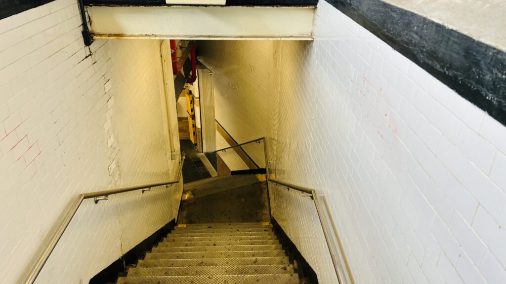
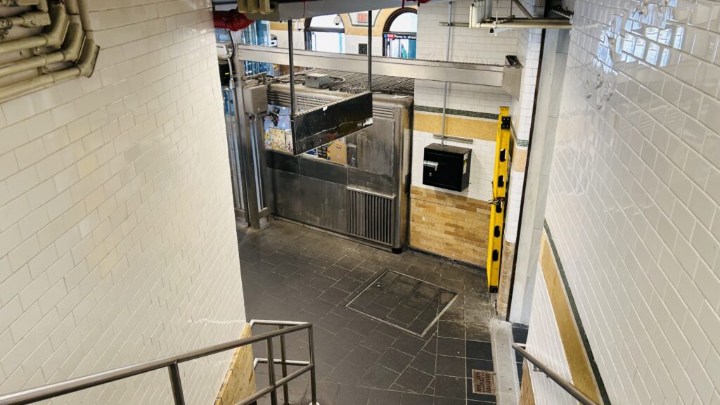
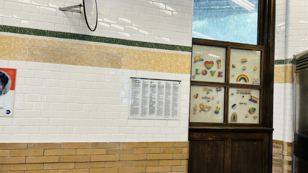
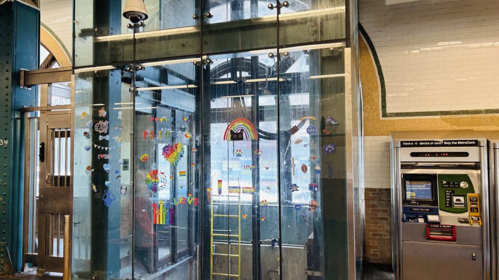
It’s an accessible station, which means there’s elevators down to the street-level headhouse. The platforms have your standard A division amenities (countdown clocks, benches, wastebaskets, lighting), and the station house is pretty standard with a station agent, a NYPD presence, faregates, OMNY machines (I think I saw a MetroCard machine too?), and nothing else to note other than the Pride decorations. Neat. The station’s primary bus connection is to the M100, which runs between 125th and 220th St.’s, via Amsterdam Ave., Broadway, and Dyckman Street. There isn’t too much to remark specifically about this station. However, PLEASE BE CAREFEUL with saying the name – because if you forget to say part of the name, that’s how you get either another term for a sea wall (dike). Either way, it’s not a bad station. Yippee!
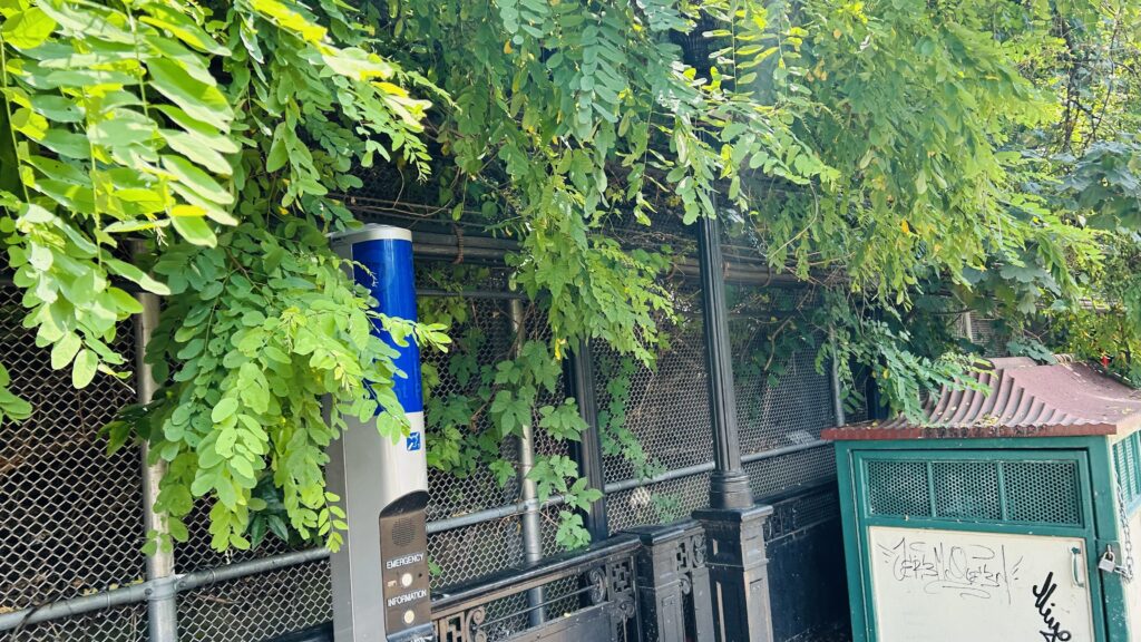
Bye!!!HELP!!!The tunnelAnother trainCAHSGAY TRAIN! GAY TRAIN! GAY TRAIN!Decently well-used!Hostility!Stairs?A decently long walk downStation agent boothPrideful!EVEN THE F*CKING ELEVATOR IS GAY!Street-level shotThe station from beneathCurvy!
The good: Other than the fact it’s well-used, it’s at the base of Fort George Hill. It’s also accessible. The station is also pretty close to Fort Tyron Park, however the A line station is considerably closer, and 190th St. (also on the A) gets you into the park directly. There’s also buses with the M100. Furthermore, if you’re a railfan, the shots from the tunnel portal and the curve are both pretty cool.
The bad: I guess the only real issue is the fact that the area is a topographical nightmare – but that’s no fault of the station itself. I just don’t have much of anything negative to say about the station, especially given it’s accessible.
Nearby points of interest: Fort Tyron, if you want to hike a little. There’s also green spaces considerably closer, on Fort George Hill.
Transit connections: 7th Ave. Lines (1) MTA bus (M100)
Overall, it’s a pretty good station, and it’s also easily one of the more charming stops (I think) on the system. Not bad!