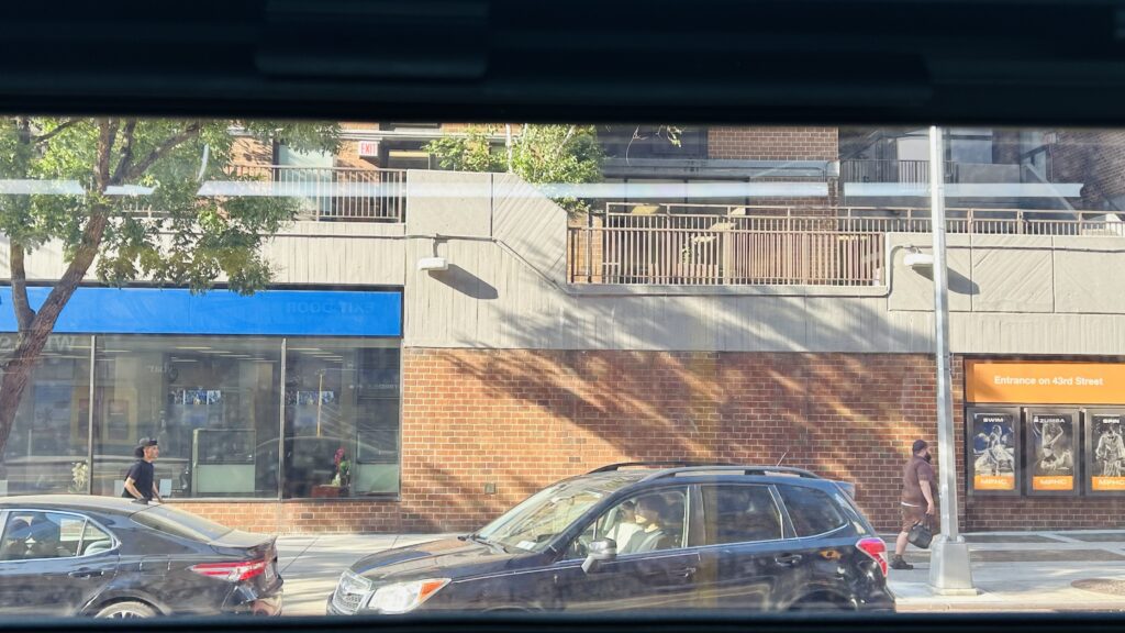
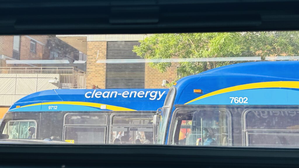
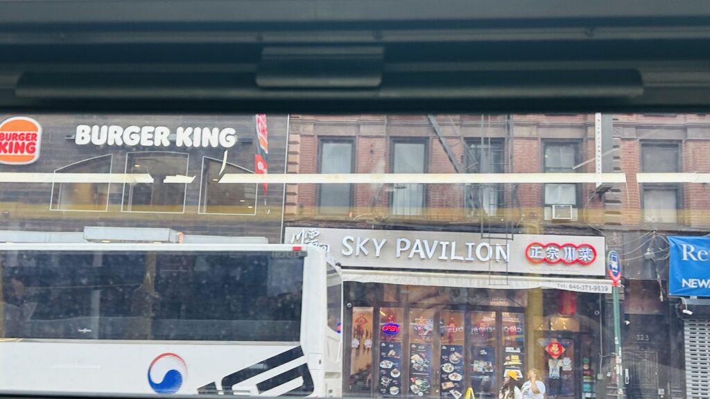
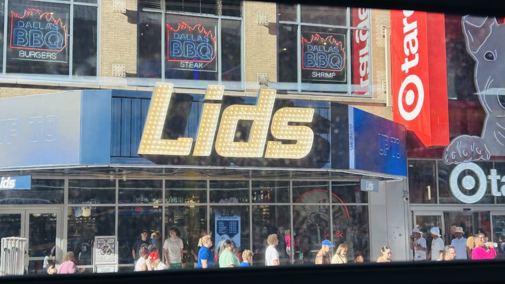
M42 (42nd St., Midtown)

Wait, the M42? Why does this bus even exist when both the 7 and Times Square shuttle exist?! Well, unfortunately, the 7 doesn’t have a stop near 1st or 2nd Ave., and neither does the Times Square shuttle. The shuttle also doesn’t have a stop in the far west side of Manhattan around 11th Avenue. Thus, where this comes in. Let’s take a look at how painful a route this is.

The origin

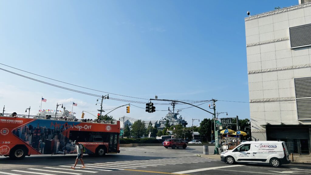
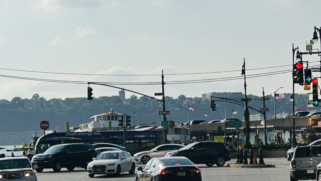
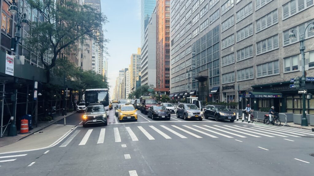
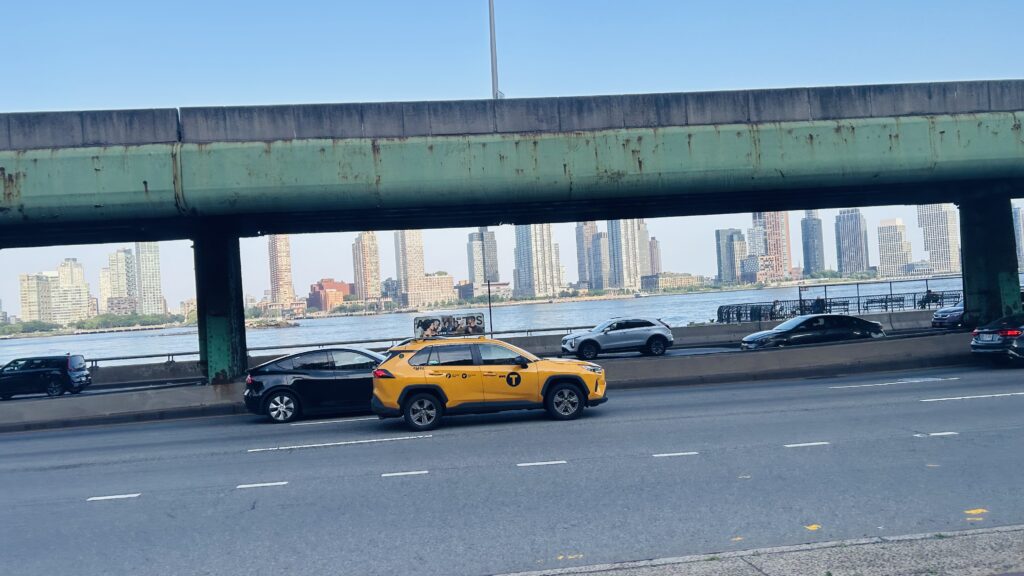
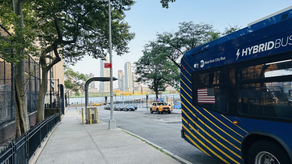
Functionally, it’s a straight shot across 42nd Street and should be a cakewalk. However, unfortunately, this route is easily the biggest offender in regards to crowding, and it was total hell to even get the photos for this review. I don’t think I’ve ever been on a 40 foot bus that was so horribly crowded I genuinely felt claustrophobic just riding it. I’d legitimately take 3 consecutive Q38 roundtrips (pre-Queens BNR) before taking a singular M42 ride again. It probably would take as long, anyways. So, from the outset leaving 12th Avenue, the bus was standing room only and it was already pure hell. Why can’t the MTA use bendy buses? At least, it was smooth sailing until 8th Ave., with the connection to the Port Authority Bus Terminal. Some people got off here, presumably to connect with either the A, C, E, NJT buses, or an intercity carrier, but I think the bus got MORE full. At this point, the bus began really crawling too. Legit, it felt like it’d be faster to walk and that I was cheated out of $2.90. We eventually made it to Times Square. A couple offs, but no ons. Change for the 1, 2, 3, 7, N, Q, R, W, and IRT shuttle lines.
Oh god
I think this was around 9th Ave.?
Or this? I don’t remember.
BUNCHING
8th Ave.-Port Authority Bus Terminal.
7th Ave./Broadway – Times Square
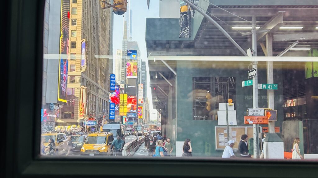
TIMES SQUARE IN A BUS

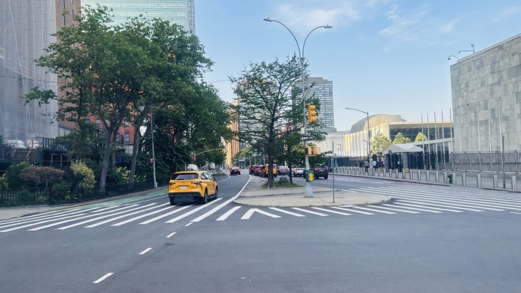
Yep. This was quite a slogfest. Hated it. 6th Ave.-Bryant Park crawled by, with another 7 connection (at 5th Ave.) and to the BDFM lines, followed by Grand Central with yet another 7 and shuttle connection – but this time, also with the 4, 5, 6, Metro-North, and LIRR. Woah! And, eventually, after crawling for so long, we made it past Park Avenue, 2nd Avenue (with a planned stop for the T line once it gets funded in 25 billion years from now), and 1st Ave. at the UN headquarters. FINALLY.
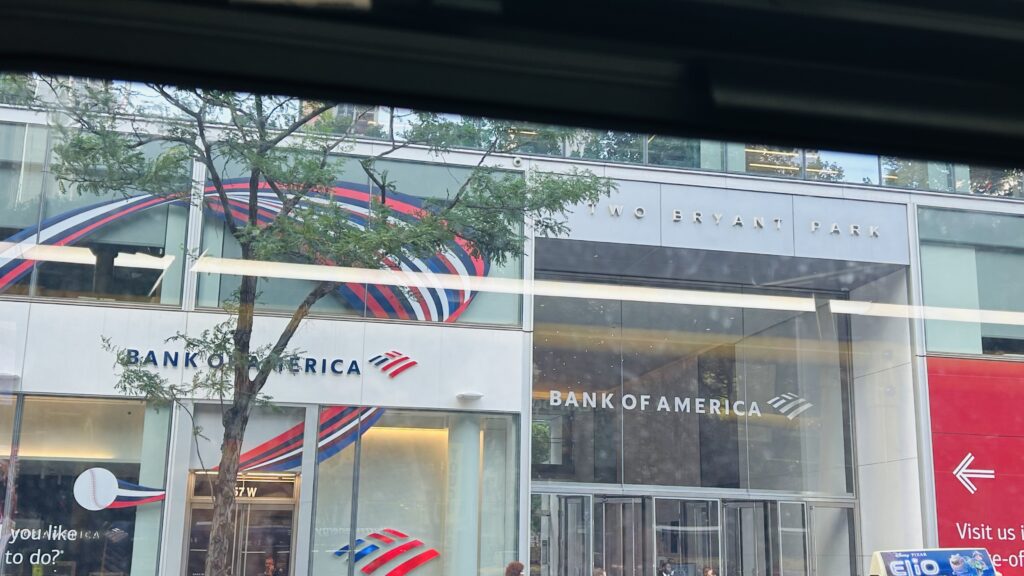
bank of america
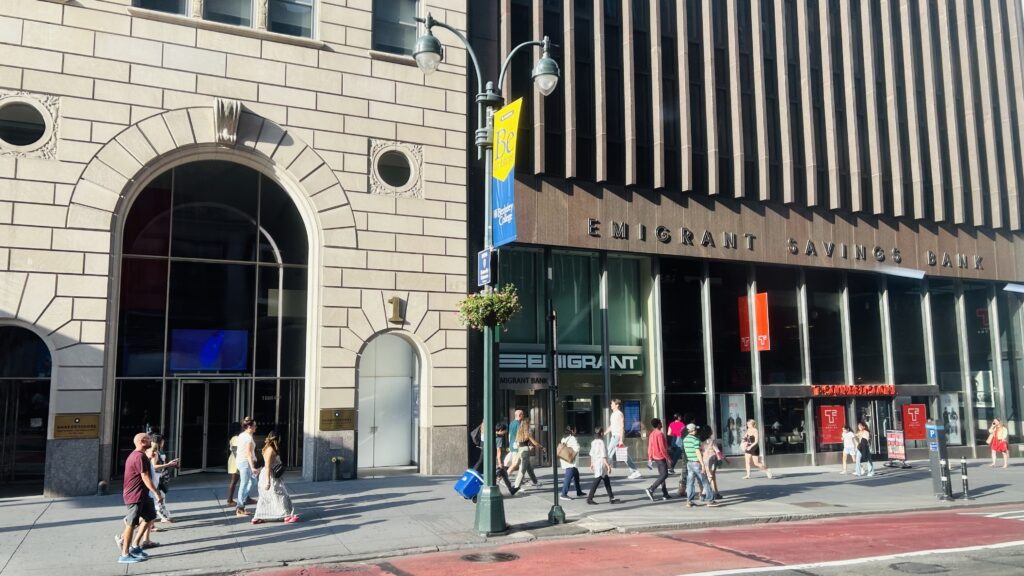
another bank
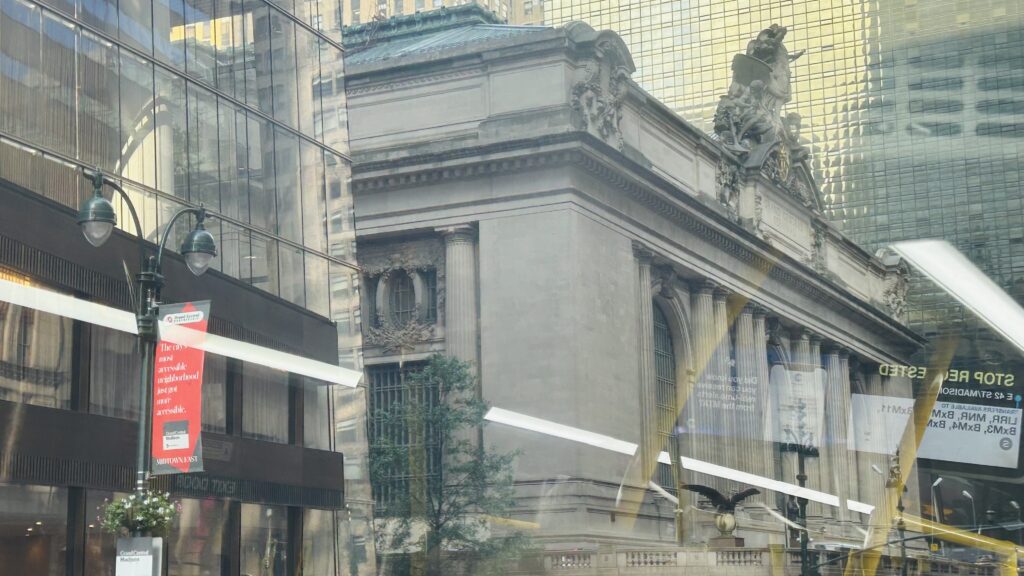
Grand Central Terminal!
2nd Ave. subway stop when?
IS THAT THE U.N.?!
TAXI
GET ME OUTTA HERE!!!!!!

The good: It serves all the cross avenues on 42nd Street! And, as such, hits some very important spots including the ferries on 12th Ave., the PABT, Times Square, Bryant Park, Grand Central, and even the UN headquarters! I wonder if any diplomats use the bus…

The bad: IT FELT LIKE IT TOOK ALMOST AN HOUR TO GO TWO MILES. Officially, it’s timetabled to take about 25 minutes, which is STILL pretty bad. I think in practice it was closer to 40 for me. It’s a bloody slogfest though, worsened by Midtown traffic. SBS-ifying the route would not help.

Nearby points of interest: A LOT. Times Square, the Port Authority, the waterfront, the UN, Grand Central, Bryant Park, the NY Public Library’s central branch, among other places.

Overall, PLEASE. THIS BUS ROUTE NEEDS JESUS. I FEEL WRONG EVEN SAYING THAT, BUT IT NEEDS HELP. IT NEEDS TO BE PUT OUT OF ITS MISERY AND KILLING IT ISN’T THE ANSWER. Maybe give it bendy buses to alleviate crush-loading issues?

Rating: 2/10 in practice, 8/10 in theory

I got a food cart cheese dog afterwards in Battery Park.

Brookfield Place (& the Liberty Landing Ferry)

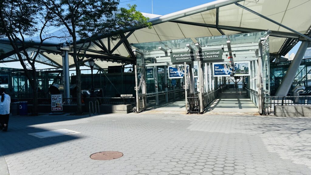
The Brookfield Place ferry terminal is a short walk away from the World Trade Center and is located in Battery Park City, off Vesey Street.

The entrance

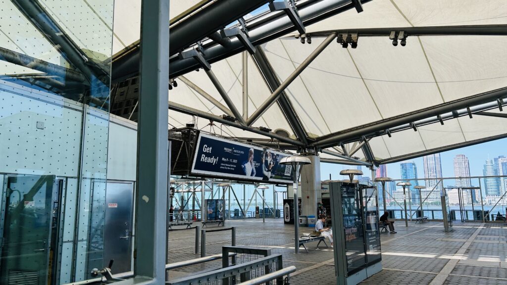
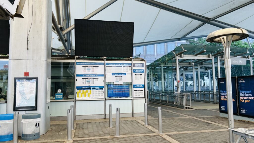
The terminal consists of a glass shelter and waiting areas for the various carriers that serve here. There’s also a ticket office for NY Waterway, and if memory serves, I think also a newsstand? I could be misremembering though. Yeah, not a lot to talk about. Sorry. It’s kinda in walking distance of the World Trade Center station complex, so I’m lumping it in with them, even though this wasn’t built until 2009.

The good: It’s accessible! It’s also got seating and ticketing areas.

The bad: Nothing. I got nothing to remark about it.

Nearby points of interest: Battery Park City, the World Trade Center, Brookfield Place.

Rating: 8/10

The waiting area
One of the ticketing offices

Yeah, because there’s not a lot to talk about, I’ll also be talking about the Liberty Landing Ferry. The ferry used on this route is a smaller one, yellow colored. The route goes over to the Warren Street dock over in Jersey City, and then it bangs a u-ey to stop at the Liberty State Park ferry terminal. It’s quite a scenic ride, all things considered (really, the view of NYC from Liberty State Park in general is beautiful), and for the rather scenic trip across the Hudson, the $10 it costs is worth it.

The good: It’s SCENIC.

The bad: The $10 might be steep for the full run, however I think it’s worth it.

Nearby points of interest: Liberty State Park is a big one!

Rating: 8/10

Overall though, it’s not bad. Now, that does leave two ferry terminals tied to this as un-reviewed. But, I’ll cover them at a later date. Maybe, as filler content.

Chambers St.-World Trade Center (Lines A, C, E), Park Place (Lines #2, 3), and Cortlandt St. (Lines R, W)

While the PATH station is considerably more-used than the MTA stations, there’s still a couple of MTA stations. Chambers St.-World Trade Center (& Park Place and Cortlandt St.) is one of those two stations – er, station complexes. Yep. This one’s a case of “four stations in a trenchcoat”. Buckle down, because this one’s gonna get messy.

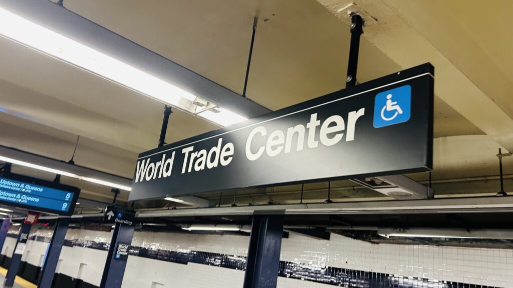
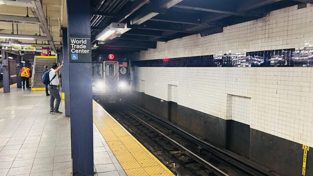
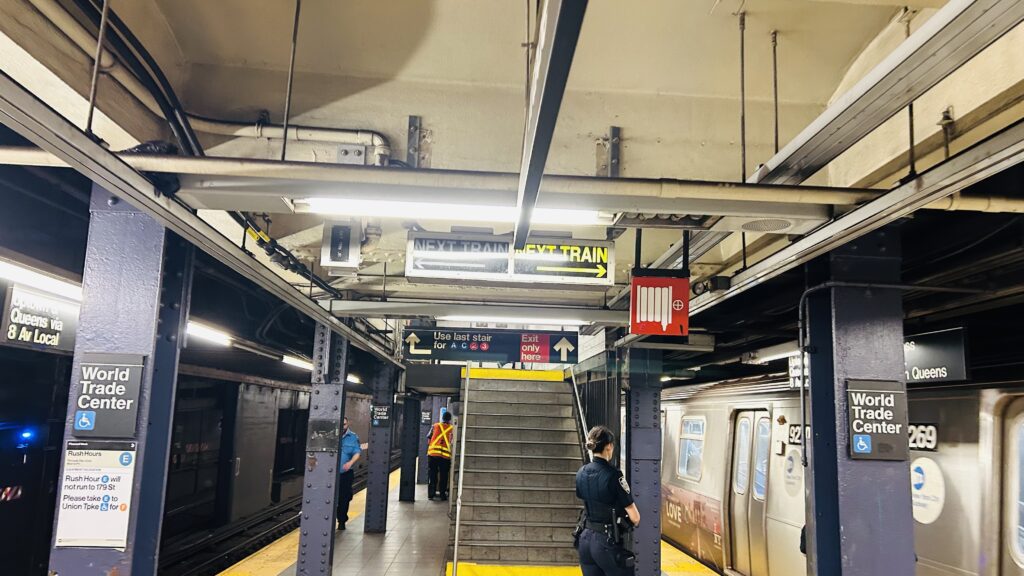
The E line platform’s sign

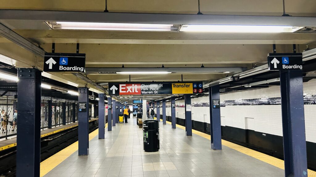
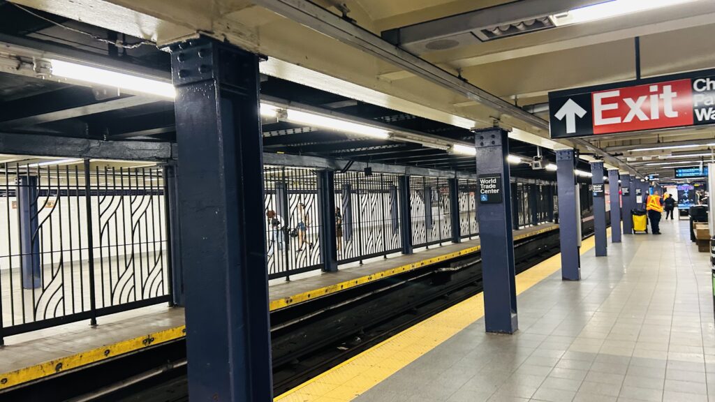
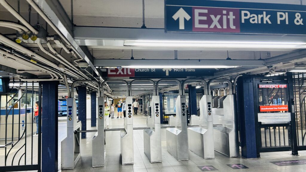
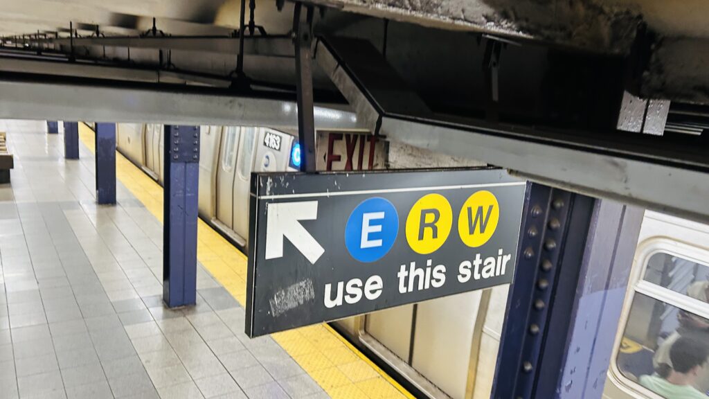
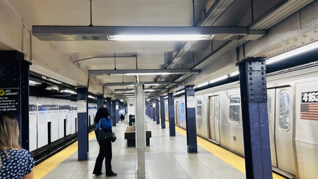
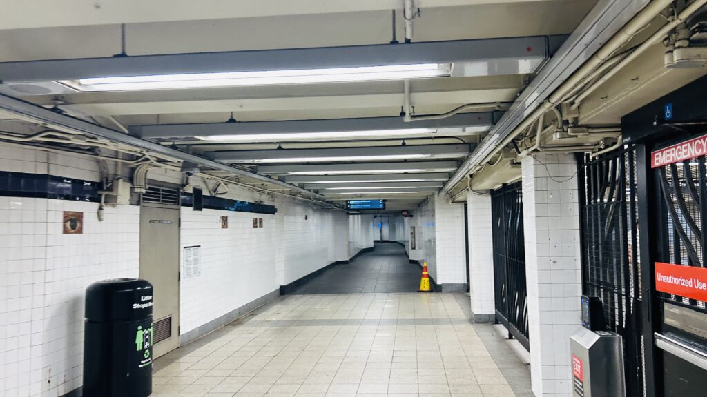
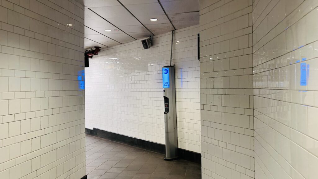
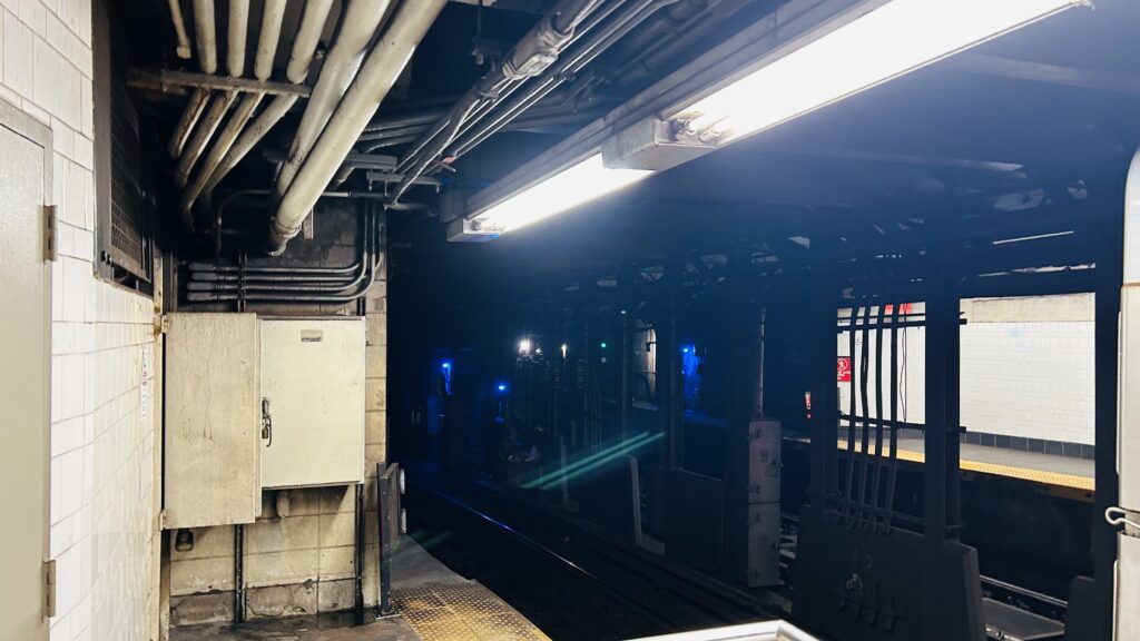
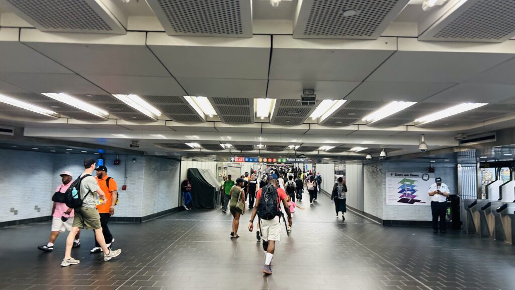
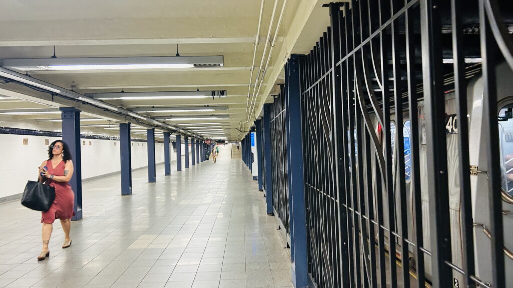
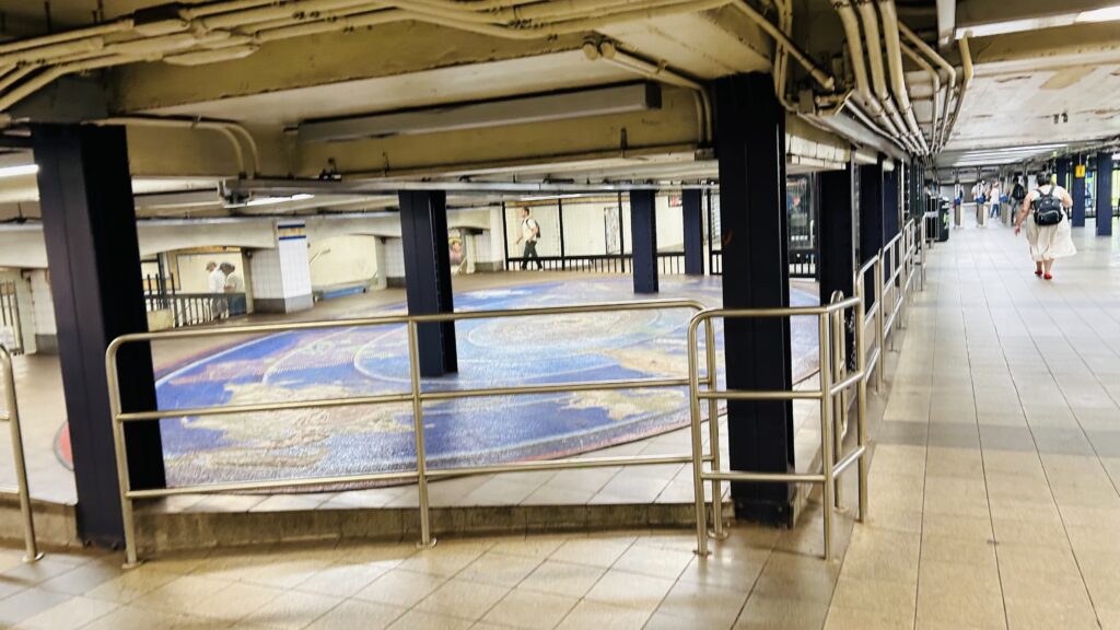
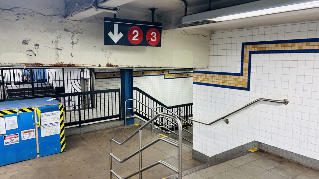
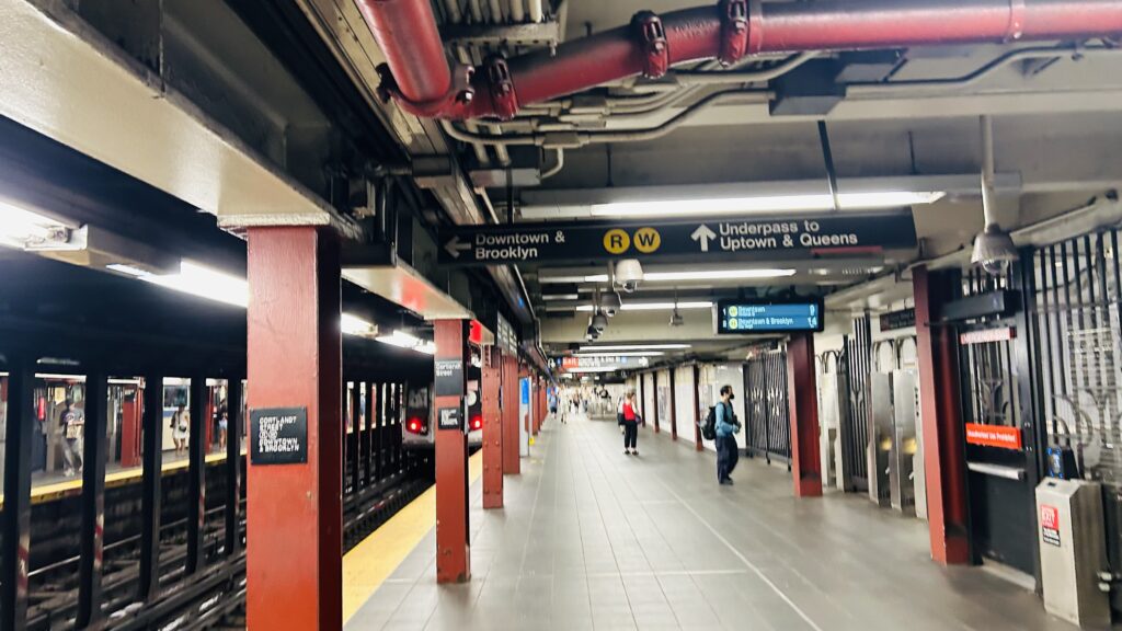
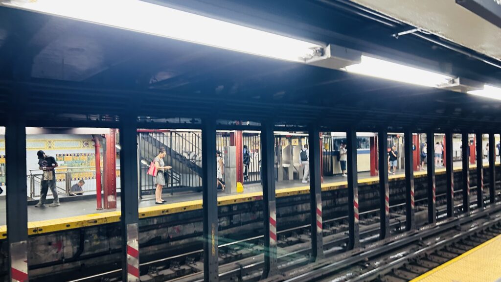
Inside the Oculus, the signage only points to the E line – the R/W are elsewhere, although once you’re in there, you’ll see signage for the A and C lines, as well as the 2, 3, R, and W. Weirdly, though, I had a particular amount of trouble finding the 2 and 3 line’s platform. Despite this, it’s located directly underneath the bumper blocks on the E line’s tracks. As for the in-station connection to Cortlandt Street, it’s south of the A/C platforms. All together, everything’s connected by a series of passageways that can be quite tricky to navigate. Each set of platforms all have the same basic things: turnstiles, ticketing machines (some OMNY, some MetroCard), some entrances have station agents, they all have seating, some have countdown clocks, but not all platforms are accessible. Namely, the A/C and 2/3 platforms are very much not accessible. However, the E platform is accessible by way of ramps and the R/W have elevators, as is the nearby 7th Ave. express stop on Chambers Street. All this aside, other than the R/W being renovated recently (relatively), it’s all standard IND and IRT stuff.

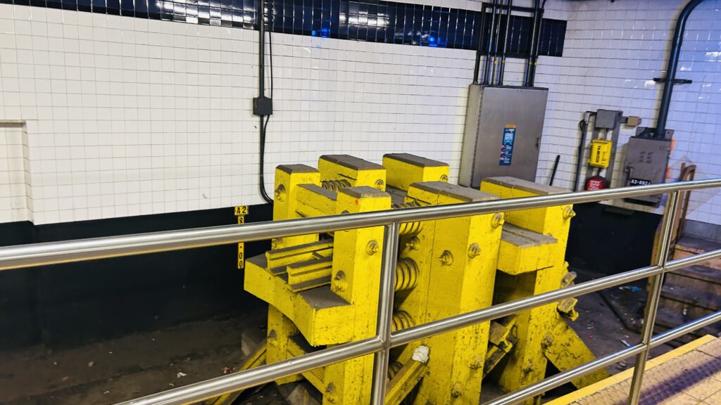
BIG MEAN MOTHER BUMPERS!!!
The E platform
Fencing and a passageway
THERE IS A TRAIN APPROACHING THE STATION, PLEASE STAND AWAY FROM THE PLATFORM EDGE!!!
Next train signage
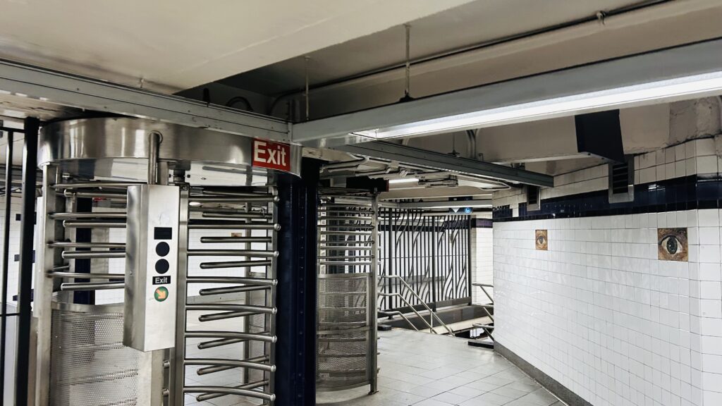
One of the many exits
Wayfinding to the E/R/W
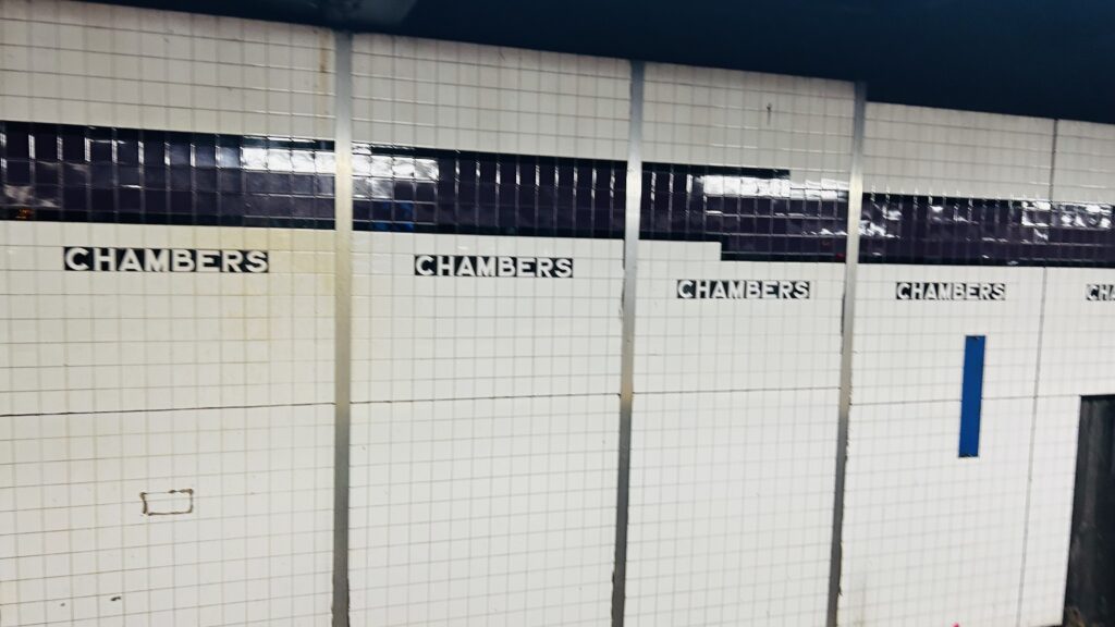
CHAAAAAAAAAMBERS STREET!!!
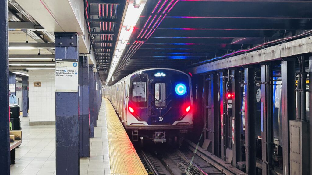
R211 SPOTTED
IND tiling!
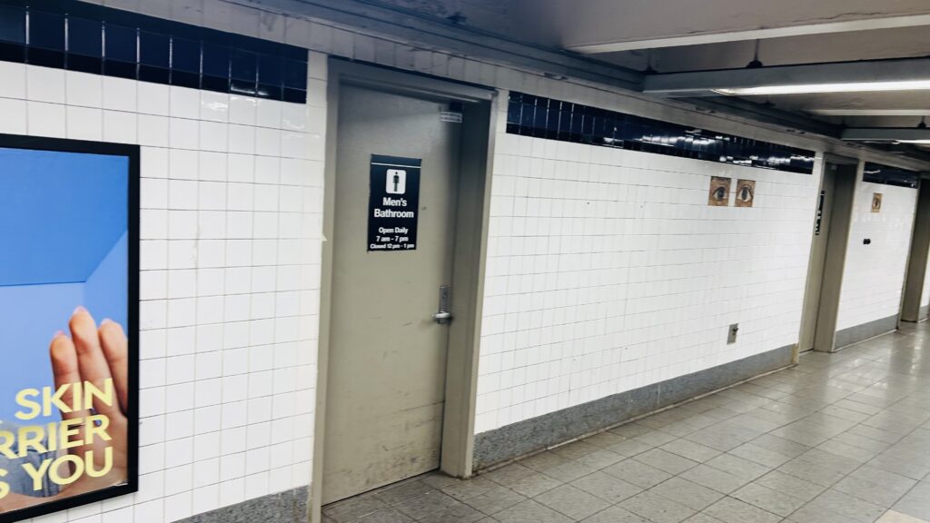
No bathroom review today!
HEET and another passageway
The passageway to the R/W
Liminal
Looking one way
Platform shot
The other side
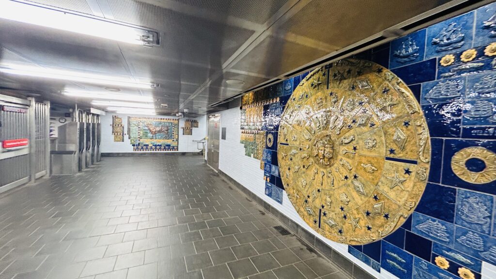
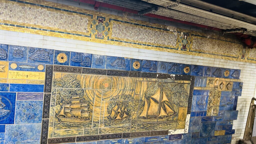
ARTWORK!
More artwork and fare control!
The Dey Street tunnel, just beyond the paid area
One of the passageways near the A/C/E platforms
Neat!
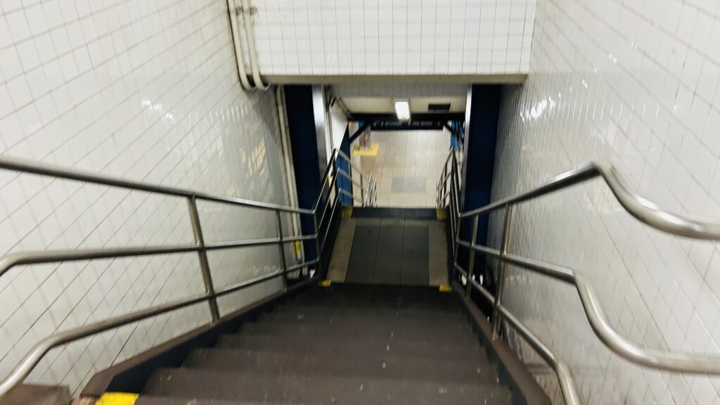
Stairs down to the 2/3 line platform
Oh my
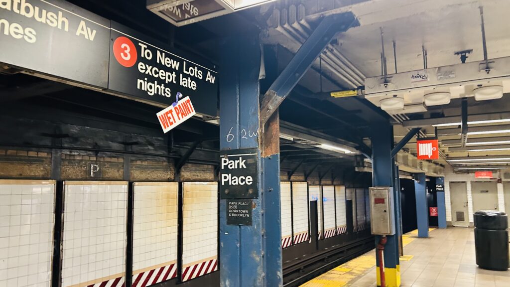
Park Place
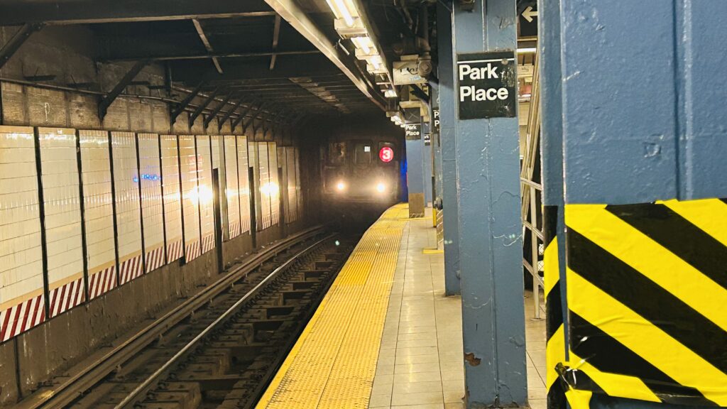
the 3 line to New Lots

The good: It serves the World Trade Center! Furthermore, it has an out-of-system connection to the Fulton Center. The BMT platforms’ artwork looks quite nice, too.

The bad: Accessibility is hit-or-miss. You have to be on the correct line to be able to use the accessibility features here (E, R, W only).

Nearby points of interest: The World Trade Center. Duh. Also, the Fulton Center.

Transit connections:
Broadway (R, W)
8th Ave. (E-terminus, A, C)
7th Ave. (2, 3)
MTA bus (M9, M20, M22, M55, BM1, BM2, BM3, BM4, BxM18, QM7, QM8, QM11, QM25, SIM1, SIM1C, SIM2, SIM3, SIM3C, SIM4, SIM4C, SIM4X, SIM32, SIM34, X27, X28)
NJT bus (120)

Overall, it’s a messy station, with low ceilings, and it’s only half-accessible. Yeah, sorry, but PATH is objectively better here. (as is …the #1 line?)

Rating: 6/10

World Trade Center (PATH)

The September 11th attacks, more commonly simply known as 9/11, were a horrific incident that happened, well, on September 11th, 2001. I’m not going to talk about it too much as I’m sure y’all (the reader) know about the horrifying things that happened that day, the fact that 2977 people passed, the ensuing legislation that passed (including the Patriot Act and the birth of the Department of Homeland Security, and the TSA), airport security becoming much more stringent (and not loosening up since), among other things. I’m also not going to make any 9/11 jokes, given the rather dark nature of things. With that in mind, here’s World Trade Center on PATH.

PATH wayfinding

So, the original PATH station was instead named “Hudson Terminal” and was built by the Hudson & Manhattan Railroad, but that got replaced by what’d become the old World Trade Center station in 1971. Consisting of a few balloon loops and 10 car long platforms, it was an upgrade. All the while, it served trains going to both Hoboken and Newark – which still holds true today. Unfortunately, however, trouble would arise as the 21st century inched closer. To be more exact, the station sustained some relatively minor damage after the 1993 bombing of the World Trade Center with a ceiling collapse trapping a few people, however service would resume shortly after the incident. In 2001, however, things would get even worse for the station – and NYC as a whole. As I stated in the opening paragraph above, 9/11 happened.

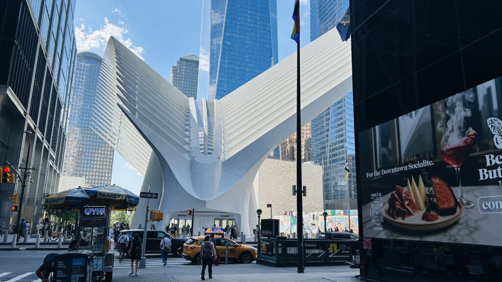
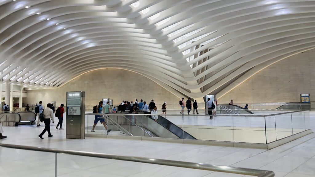
The Oculus!
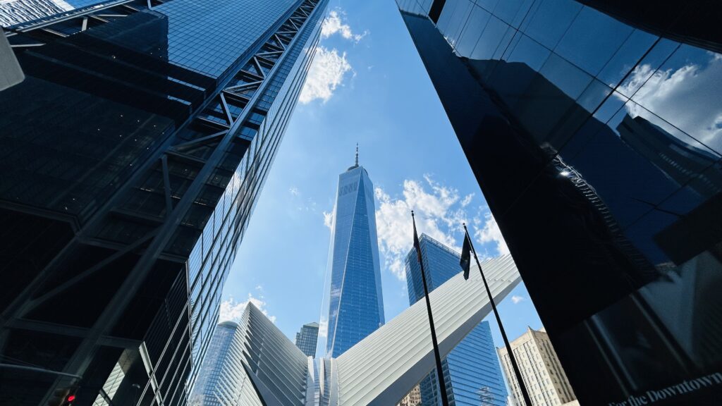
The Freedom Tower!

So, how did the Port Authority handle things? After the North Tower was struck at the tail end of the AM rush hour commute, a few PATH trains had arrived into the station – one from Newark and two from Hoboken. The first Hoboken train that arrived just hightailed it out without so much as opening the doors. Were people confused? Probably, initially. As for the second Hoboken train, the train was evacuated and didn’t leave the station. It’d then be found among all the debris. The third train, from Newark? It was actually forcefully offloaded at Exchange Place and deadheaded to the station to pick up people left behind. There was also a fourth train that deadheaded to the station, with the sole purpose of picking up every last PATH employee – and a homeless person (who, according to an NJ.com article I found, took effort to get onto the train). Unfortunately, the North Tower gave way and collapsed.

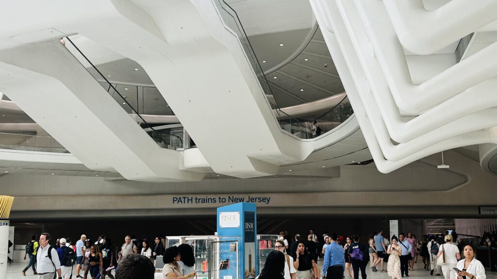
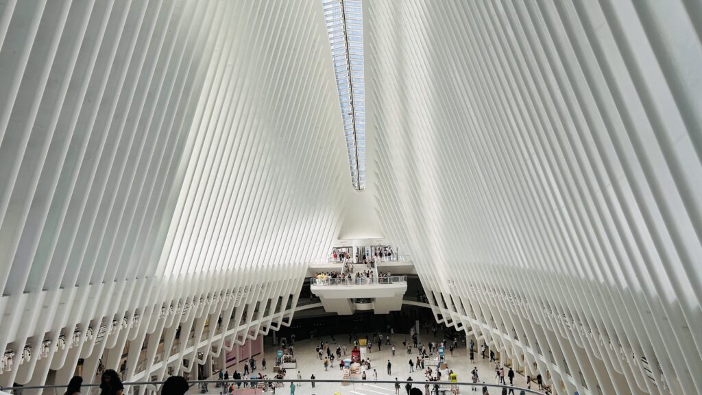
The upper level of the Oculus

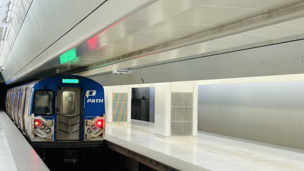
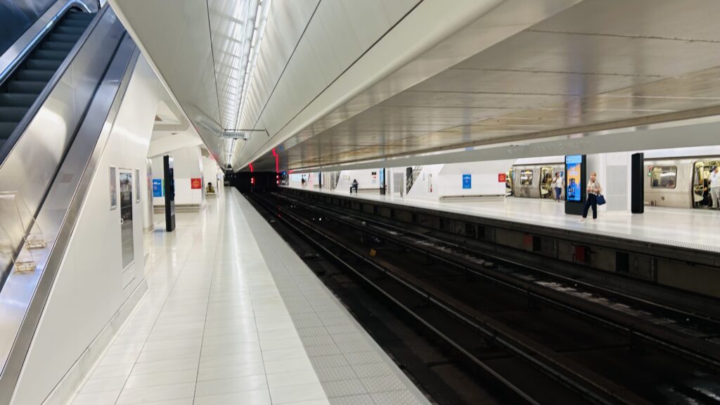
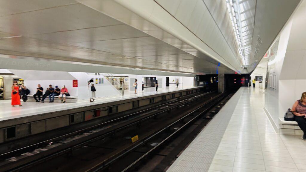
A temporary station would be built and opened in 2003, and the present station, located within “The Oculus” (which I personally very much hate from an aesthetic POV – too sterile for my liking) would open in 2016. With that in mind, let’s review the actual station. It’s rather sterile, with a very, VERY large mezzanine and high amount of faregates. There’s also elevators, given this was built in a post-ADA landscape, as well as a few ticketing machines outside fare control. The platforms themselves are VERY clean, albeit rather sterile in appearance. There’s also countdown clocks, signage indicating what lines stop on what tracks (offpeak, only 2 tracks are in use – I would hope more are used during peak hours as this is one of the busiest, if not THE busiest, PATH stations), and even some seating. There’s also out-of-system connections to the #1 line at Cortlandt St., the A, C, and E lines at the MTA’s Chambers St.-WTC station, the R and W at another Cortlandt St. station, and the 2 and 3 lines at Park Place. Also, there exists a passage under Dey Street to the Fulton Street complex. Overall, though, it’s not a bad station, and I presume is very much a straight upgrade from the pre-9/11 version.

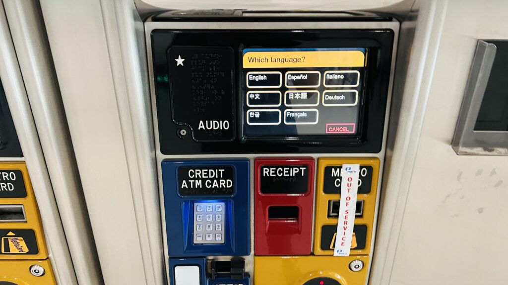
PATH ticketing!
The VERY LARGE mezzanine
Is the “no photography” rule because of 9/11?
Towards New Jersey!
And also towards New Jersey!

The good: It’s new! It’s accessible! It’s also located in a shopping center and a major employment center (lower Manhattan). Furthermore, it’s probably among the cleanest subway stations I’ve ever seen in my life. You also have direct service to both Newark and Hoboken from here.

The bad: It’s a bit sterile, but that’s minor. Also, does PATH just not sell TAPP cards?

Nearby points of interest: The WTC complex. Duh. Also, Battery Park City, a few parks, among other things.

Transit connections:
PATH (Hoboken-WTC, Newark-WTC)
MTA bus (M9, M20, M22, M55, BM1, BM2, BM3, BM4, BxM18, QM7, QM8, QM11, SIM1, SIM2, SIM3, SIM4, SIM7, SIM9, SIM15, SIM32, SIM33, SIM34, X27, X28)
WTC Cortlandt (1), Park Place (2,3), Cortlandt St. (R, W), and Chambers St.-World Trade Center (A, C, E) stations (out of system)

Overall, it’s not a bad station, is easily among the best on PATH, and also carries quite a bit of contemporary history.

Rating: 10/10

126 (PABT/Hoboken Terminal via Washington St./Lincoln Tunnel)

New Jersey Transit is a weird bus network with its main draw for weirdness coming from its fare system. What the hell is an override, and why are buses using zonal fares rather than a flat one like any sensible bus network?! In fact, this bus trip was MORE expensive than a NJT Rail ticket between Hoboken and Newark Broad(!!!). Why? Because it went to the PABT. Anyways, here’s the 126: one of Hoboken’s local routes that crosses into NY via the Lincoln Tunnel.

The rather messy bus terminal at Hoboken

So, the bus was crowded and, surprisingly, was of the inaccessible variety (high-floor boarding?! In 2025?!). There weren’t any fareboxes either, that I noticed, so all tickets and fares had to be handed to the driver directly. Did the driver even check the ticket? Probably not. Do they have a way of memorizing who’s going where? Also, probably not. At least, I wouldn’t count on it for a busy route like the 126. With that aside, it’s a straight shot from here to the Lincoln Tunnel. About 2.2 miles down the streets of Hoboken and (barely) Weehawken. Plenty of people both got on and off, suggesting it’s used for local travel. As for land use around the route, it’s actually pretty decent with mixed-use buildings! After crawling the streets of Hoboken for a decent bit, we enter Weehawken for a short period, and hop on the highway into the Lincoln Tunnel, pick up speed a little bit (even though we were still subjected to the tail end of Manhattan rush hour traffic), and soon enough we were weaving into the PABT.

Hoboken!
The streets of Hoboken
A crosswalk
Why are people parked illegally?
Mixed use!
A veterinarian hospital and a Trader Joe’s!
NJ Transit: The Way To Go!
amazing sunset over the HBLR tracks
A parking garage and high-rise looming over the Palisades…
and closer to street level!
Another NJT bus!
AND A COACH BUS!
The other side of the Lincoln Tunnel!
Manhattan!
AND ANOTHER NJT COACH BUS!
Midtown!

The good: It’s very frequent! During daytime hours, it shows up once about every 8-10 minutes. Even on weekends, it manages to maintain frequencies, at worst, of half-hourly. It also serves places people want to go in Hoboken and Midtown!

The bad: Why the hell does it cost $4 and change to ride this through the Lincoln Tunnel? What the hell is an override fare? And lastly, it doesn’t run overnight.

Nearby points of interest: The area it runs through is very walkable inherently. It’s one of the closest routes to the Hoboken Historical Museum, as well as the Stevens Institute of Technology. It can also get you close to Lincoln Harbor. However, I’d suggest asking Avery the Cuban-American for more insight as he knows a lot more about the area than I do.

Overall though, it’s not a bad route, and it’s a powerhouse (& maybe one of the most-used NJT routes?) that serves a lot of people in relatively little mileage. However, WHAT THE HELL IS AN OVERRIDE?! It’d be better if they used low-floor buses with better accessibility though (does NJT not know what a low-floor bus is?)

Rating: 8.5/10

Hoboken Terminal (NJT/Metro-North/PATH)

Okay, so many rail terminals oftentimes aren’t located on prime waterfront real estate. Boston’s two termini are on the edges of downtown, New Haven is in an industrial wasteland, and New York’s Penn Station and Grand Central Terminal are both in the heart of Midtown. And, for that matter, LI City and Atlantic Terminal are both in the hearts of lesser city centers (though not really a “city center” in practice), being LI City in the case of, well, LI City, and a neighborhood usually aptly referred to as “Downtown Brooklyn” in the case of Atlantic Terminal. However, there IS one major rail terminal in the metropolitan area that IS on prime waterfront property, and it’s actually quite beautiful. Meet: Hoboken Terminal.

Pole signage!

Starting off in the PATH section, the station is pretty nice-looking, with green poles and what looks like vaulted ceilings to an untrained eye. While the platforms don’t have much in the way of amenities, you DO have countdown clocks at least. Outside fare control, you also have ticketing machines for PATH. Neat! Generally, a little barren but for a terminal, you probably don’t need much when you can just wait on the train.

ILLEGAL PHOTOGRAPHY!!!
Pole lettering
BIG MEAN MOTHER BUMPERS!!!

Moving on up to the NJT Rail and bus section, and my GOD. This. Is. BEAUTIFUL!!! Easily among the most beautiful rail terminals, if not THE single most beautiful rail terminal I’ve ever seen, so far, in my personal opinions. Now, I’m not saying Grand Central is bad. It really isn’t, and I can see why many people say that’s the most beautiful rail terminal (in the country). However, I personally think the waterfront scenery gives Hoboken the edge over Grand Central here.

Stairs

The platforms are unfortunately low-level, however you DO have a fully functional departure board listing every departure to Waldwick, Mt. Olive, Port Jervis, Gladstone, among other places. There’s wastebaskets, ticketing machines, a ticket OFFICE and waiting room (which is rather beautiful!), a ferry dock with connections across the Hudson, and even a Dunks! There were also restrooms in the waiting area, however I didn’t take a look. Overall, this really isn’t bad!

Departures!
DUNKIES MENTIONED
Low level…
I FOUND AN ARROW III EMU!!!
OH HECK
CONRAIL?!
Station signage!
And a more bogstandard PL42AC locomotive spewing diesel fumes
Looking out into the rather toasty summer evening
Accessibility, I guess

Exiting out of the station one way, there’s access to the bus terminal. It’s okay, I guess. Nothing special. But, adjacent to the station is Pier A Park. You can get a view of the station building and the signage reading “LACKAWANNA” overlooking the river. And, holy SHIT, the views of NYC are unmatched. Just take a look.

Clock tower!
Midtown!
Lower Manhattan!
LACKAWANNA!!!
Another angle of the station
The bus terminal and NJT police
The waiting room
Wait, is that an NJT flag?!
The ferry terminal
Another train
Another shot of lower Manhattan

The HBLR station is pretty standard as well. You have ticket readers on the platform, benches, two tracks, inaccurate countdown clocks, the usual affair. There was also a ticketing machine here as well as a nice view of lower Manhattan. Not bad! In terms of land use nearby, it’s actually REALLY GOOD as well. I mean, Hoboken in general (& also neighboring Jersey City) are very good with making roads safer and following through on Vision Zero initiatives and making the bike lanes they implement actually be safe to use. (including various tactics to QUITE LITERAQLLY HAVE ZERO TRAFFIC DEATHS IN 8 YEARS including higher visibility crosswalks, curb extensions, daylighting methods, lowering speed limits, among others)

A lone locomotive
Bumper blocks!
Here comes an HBLR train!
Signage!
The skyline and the station!
CNJRR SPOTTED!!!

The good: It’s BEAUTIFUL. Holy SHIT, this is easily among the most beautiful stations I’ve ever seen. There’s also a waiting room, a rather scenic view of Manhattan, a Dunks(!), ferry connections, a bus terminal, among others. There’s also a staffed ticket office and machines, which is nice. Furthermore, the sheer amount of traffic that comes through here makes it a railfan’s paradise as well.

The bad: Low level boarding. That’s it. That’s literally it. Give it a high level platform makeover and it’ll be a 10/10 station.

Nearby points of interest: Newport is a relatively short walk from here, though the mall itself isn’t that close by. A couple of nearby piers got converted to parks, and if you’re into transit history, you can even see old trolley tracks outside on Hudson Place. If you’re into that stuff, I suggest reading up about the North Hudson Co. Railway. I was also told by Avery (the Cuban-American – you probably see him in the comments of some transit videos sharing some relevant and cool info). There’s also a waterfront walkway, built as part of a state-mandated master plan, to link local communities with a park and provide waterfront access. Neat!

Transit connections:
NJT Rail (Montclair-Boonton, Morristown, Gladstone, Main & Bergen Co., Raritan Valley)
Hudson-Bergen Light Rail
Metro-North (Pascack Valley, Port Jervis)
PATH (Hoboken-WTC, Hoboken-33rd St.)
NJT bus (22, 23, 85, 87, 89, 126)

Overall, it’s one of the best stations I’ve ever been to, and is a 10/10 in scenery. However, the fact it doesn’t have level boarding is LITERALLY THE ONE THING KEEPING ME FROM GIVING THIS A 10/10 BLOODY HELL. However, I do recommend, even if to just appreciate how beautiful a station it is.

Rating: 9.75/10

Long Island City (LIRR)

WELCOME TO BEAUTIFUL LONG ISLAND CITY!- wait, waht? it’s just a railyard? Ugh…..duty calls, I guess.

Signage!

Long Island City is located in the heart of, well, Long Island City in Queens, and is a stone’s throw from the #7 subway line (at Vernon/Jackson). There’s also a ferry connection at the Hunters Point South ferry terminal. However, I am not going to cover that on this blog (presently). As for the station itself, however, it is essentially a bunch of platforms built in a rail yard. In fact, platforms B and C (serving tracks 6-9) aren’t in regular use and if they ARE used, ARE IN THE SECURE AREA OF THE YARD. I REPEAT – IF YOUR TRAIN IS BOARDING ON TRACKS 6, 7, 8, OR 9, YOU HAVE TO HAVE A SECURITY ESCORT. Anyways, the ticketing machines broke when Honaj tried using them to buy the LIC-Jamaica offpeak CityTicket. There’s not really any amenities here otherwise, and I don’t think there’s even any benches. There was a wastebasket though! Now, Honaj and I were here to buy a ticket, so where did the train board? Well…..IT BOARDED FROM THE SECURE AREA!!! WOOOOO!!!!!!!!!! And, yes, security was watching. This was a moment of all time. Meanwhile, amid all this, the platform couldn’t even fit all the cars (only the last two cars platformed). Lovely!

It turns out, though, the reason this station even exists to begin with when Penn Station exists, is this was the original terminus of the LIRR mainline between here and Greenport, and the Montauk Branch to Montauk. However, while the East River Tunnels opened in the early 1900s, the LIRR still continued to operate out of here, albeit in a limited manner.

Street level!
What is that?
Well that’s ONE way in, albeit illegal
THE YARD
I spy some EMDs
An open air rail terminal in the heart of LIC just feels wrong
Borden Ave. @ 5th St.
Beyond there is the ferry terminal!
This just FEELS illegal…
Diesel central – Retired Railfan Horn Guy would probably be happy
Closer platform shot
Over yonder is track 6
The looming skyscrapers of LIC
WHERE’S THE TICKETING MACHINE?!
The A platform
HONAJ BROKE THE MACHINE
SECURE AREA?!
OH DEAR GOD
what the typeface
A train going so slow I legitimately thought it wasn’t moving at first
A better shot
The only crossings where trains can blow the horns in all of NYC
MMMMMMM DIESEL
CURVY!
HERE COMES ANOTHER TRAIN
CURVIN’ AROUND!!!
BEAUTIFUL – DE30AC 414 ON THE POINT!
Something about this feels wrong. Like, it shouldn’t exist.
AW YEAH
Next stop: Hunterspoint Avenue!
This sucker had a K5LA!
And a C3 cab at the end!

The good: It exists, I guess. It serves LI City giving a one-seat ride towards Port Jeff, Oyster Bay, and …Patchogue??? It’s also an accessible station (can’t say the same about Hunterspoint Ave., however…) and has water transportation connections.

The bad: UNLESS YOU HAVE ACCESSIBILITY NEEDS, WHY WOULD YOU USE THIS OVER HUNTERSPOINT AVENUE OR PENN STATION?! JUST, WHY?! THE TRAINS CRAWL SO SLOWLY THAT IT ALLOWS FOR THE ONLY SMOKE BREAK I KNOW OF ON A COMMUTER RAILROAD, WHAT WENT WRONG?! I COULD CARE LESS ABOUT THE GRADE CROSSING – YES IT MAKES FOR COOL PHOTO OPPORTUNITIES AND WHILE THE LIRR ENGIS ARE SCARED TO USE THE HORN I DON’T CARE. BUT LIKE, WHY?! THE TICKET MACHINES BROKE OR DON’T EXIST. TRACKS 6, 7, 8, AND 9 ARE IN SECURE SECTIONS OF THE YARD SO GOOD LUCK BOARDING IF IT ISN’T UNLOCKED. THE TRAINS GO ALMOST AS SLOW AS THE GREEN LINE HERITAGE RAILWAY. AND THEY COULD ALSO USE F*CKING ELECTRICS THROUGH HERE TOO TO GIVE THIS PLACE MORE FREQUENT SERVICE – SEND HEMPSTEAD LINE TRAINS HERE OR SMTH IDK. HELL, YOU CAN PROBABLY WALK FASTER THAN THE DAMN TRAIN!

Nearby points of interest: There’s a bagel shop (Bricktown Bagels & Cafe) nearby! There’s also a ventilation shaft for the Lincoln Tunnel, various offices and apartment buildings, and also some skyscrapers (but none as iconic as those in Manhattan).

Transit connections:
LIRR (Oyster Bay, Port Jefferson, Montauk)
MTA bus (Q103)

Overall, why? Just, why? Run more trains, run offpeak trains, and Jesus knows what they were thinking as time has NOT treated this place well.

Rating: 3/10

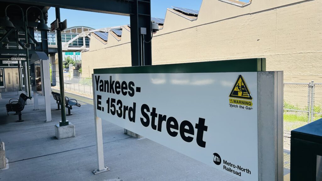
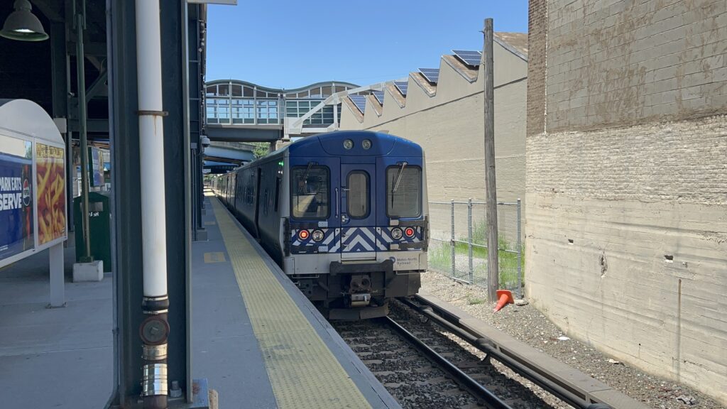
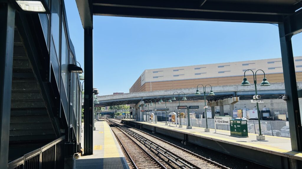
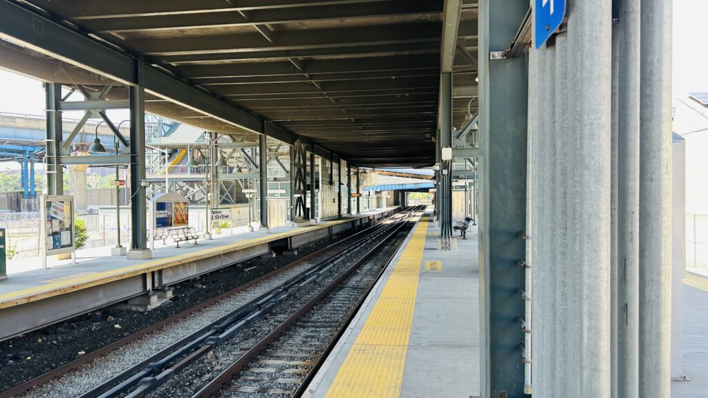
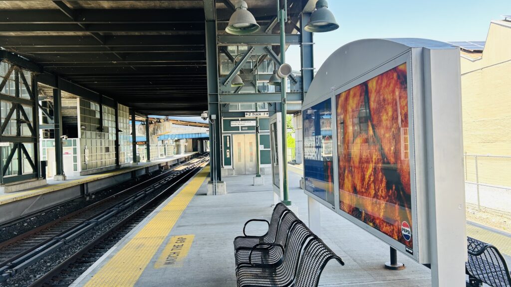
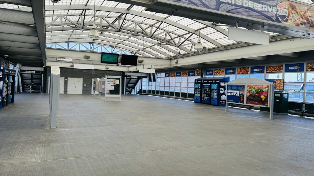
Yankee Stadium-161st St. (Lines #4, B, D)

Yankee Stadium is a baseball stadium located in the heart of the Bronx, at 161st St. & River Avenue. It’s home to a rather shitty baseball team, but more importantly is the home to an MLS team – New York City FC. The stadium, in its two incarnations, is overall pretty timeless and has hosted many a baseball game (& in more recent years, at least since the 2015 MLS season, soccer too). Either way, setting aside my anti-Yankees and pro-NYCFC biases, I do have to acknowledge the fact that this stadium is a pretty big deal in NYC – enough so to where it had to be replaced for the 2009 baseball season with what exists presently. That aside, it’s not going to be the home of NYCFC forever – that will be covered when I cover Willett Point on the LIRR and the 7 line. With that said…

WHAT THE HELL DOES THIS IMPORTANT STADIUM HAVE TO DO WITH ANYTHING I WRITE ABOUT?! Well, I’ll tell you what: there’s a subway station here!

Signage on the 4 line

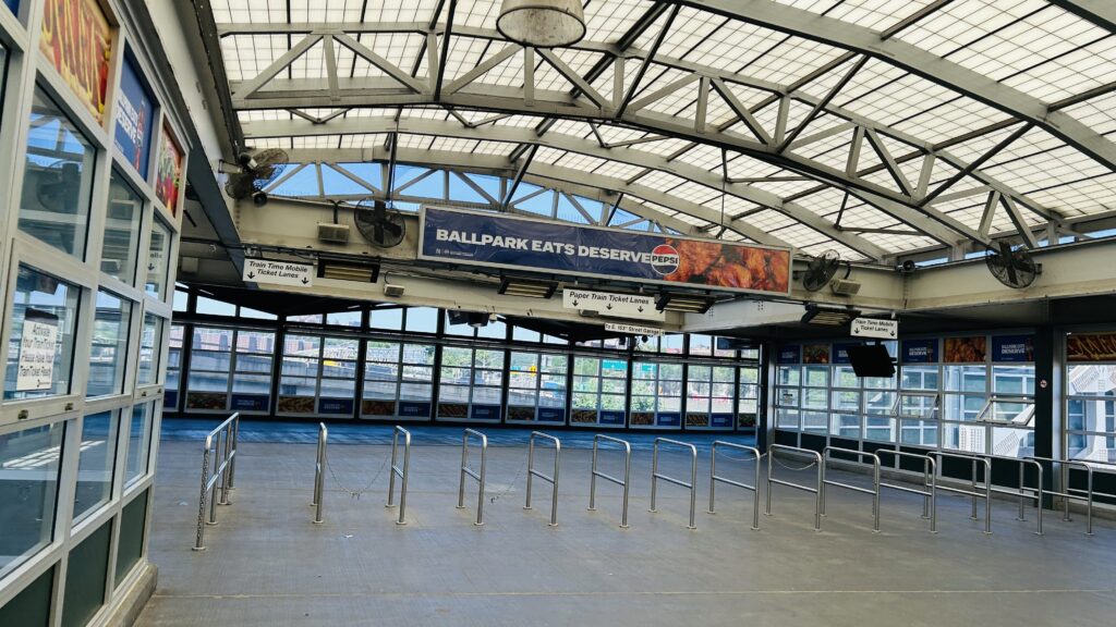
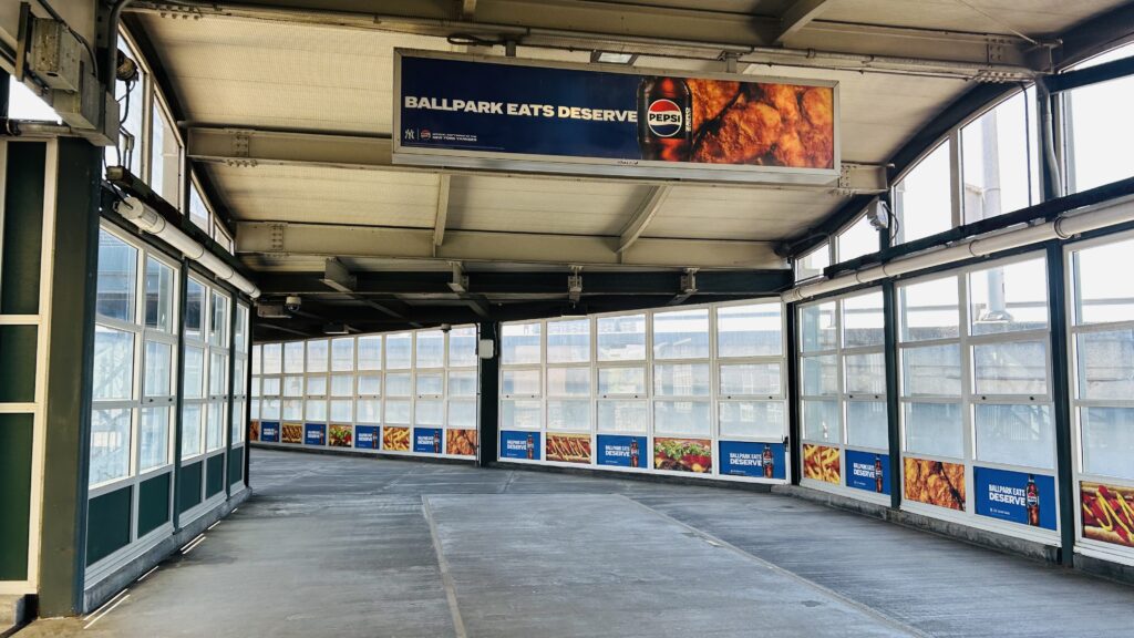
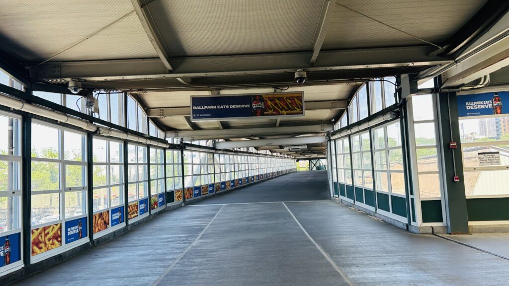
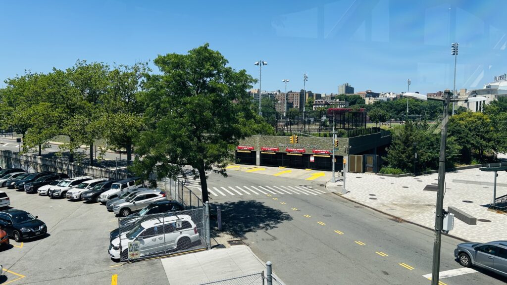
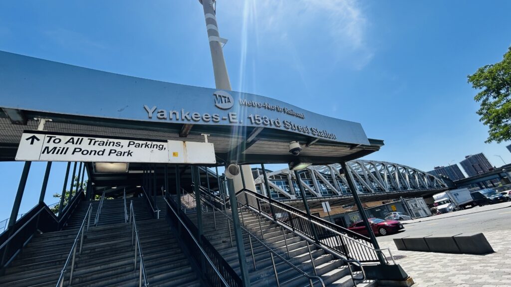
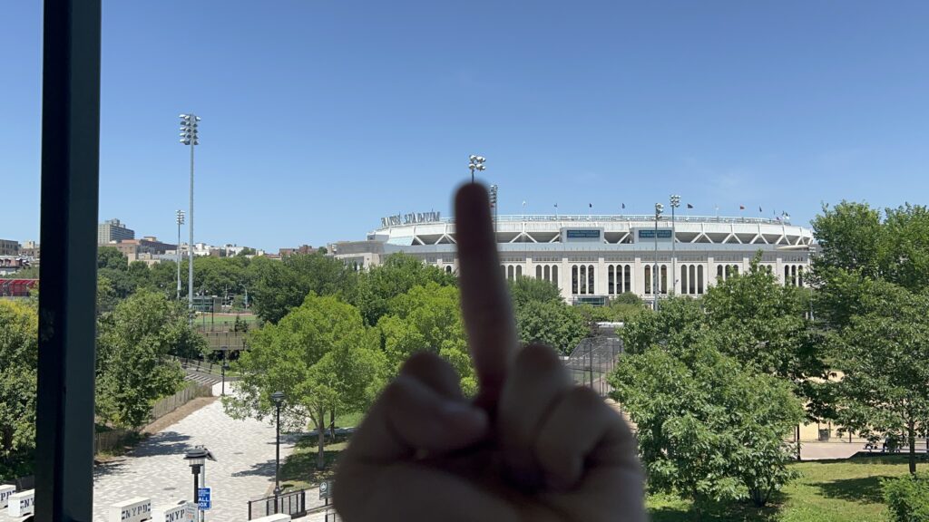
So, the station is located right outside the stadium, and there’s a connection between the elevated ex-IRT platform (the #4 line), and the underground ex-IND platforms (the B and D lines – not an express station as this station predates the stadium). There’s elevators and stairs connecting each set of platforms, a station agent in the mezzanines, an NYPD presence (no MTA PD??? Weird.), OMNY machines, and the usual countdown clocks and benches and wahtnot. The IND mosaic even has it listed as “161ST ST-RIVER AVE”. Neat! I will admit though, architecturally, Yankee Stadium actually looks pretty beautiful and apparently it’s supposed to resemble the old stadium quite a bit. As for bus connections, there’s a few on 161st St. in front of the stadium. Overall though, it’s not a terrible station.

I must admit the stadium’s actually quite beautiful – even if it’s not the original
The IRT mezzanine from outside
Fare control
Narrow corridors and IND countdowns
Obligatory NYPD presence? (ACAB.)
Looking towards Manhattan
And towards Norwood
TOILETROOM!!!
Escalators to the IRT elevated
R68 mentioned!
IRT fare control!
Shelter and urine-colored lighting!
THERE IS A. DOWNTOWN. LOCAL. FOUR TRAIN TO CROWN HEIGHTS-UTICA AVE. APPROACHING THE STATION
PLEASE STAND AWAY FROM THE PLATFORM EDGE.

The good: It’s accessible and it serves the stadium that hosts a rather decent MLS team (presently). There’s also adequate service here to handle the game-day crowds, between both the B/D lines and the #4 elevated. Furthermore, there’s also some green spaces to add to the variety of land uses.

The bad: I can’t think of too much that’s bad – I’m more surprised there isn’t a direct entrance from Yankee Stadium into the subway itself.

Nearby points of interest: A few parks, but more importantly, NYCFC’s home stadium (Yankee Stadium)! Also, the Bronx’s borough hall is nearby.

Transit connections:
Lexington Ave. (Line #4)
6th Ave. (Lines B, D)
MTA bus (Bx6, Bx6-SBS, Bx13 at 161st & River, Bx1, Bx2 at 161st & Grand Concourse)

Overall, it’s not a terrible station. And, in fact, the stadium itself looks quite beautiful on the outside. Though, there was a lot of construction, all things considered.

Rating: 7/10

…what? Did you really expect me to heavily slander the baseball team that plays here as well? Oh please…I’m saving that for another blog entry. Now, go. Go away. Get outta here!!!

Beach 25th St.-Wavecrest (Line A)

The Rockaways is a peninsula located at the southern end of Queens, and is rather isolated from the rest of the city. It also happens to be pretty well-known as a summer getaway within NYC, along with the likes of Coney Island and Brighton Beach. Now, with all that in mind…

WHAT THE HELL DOES ANYTHING ABOUT A BEACH GETAWAY DESTINATION HAVE TO DO WITH ANYTHING I WRITE ABOUT HERE?! Well, I’ll tell you what: there’s a wholeass subway (ex-LIRR) line here! And, with that, here’s the first of several (on this blog, chronologically as of me writing this) entries: Beach 25th St.-Wavecrest.

B 25 St-Wavecrest

So, Beach 25th. It’s an elevated station – albeit on a concrete viaduct (ala 33rd/40th/46th on the 7 line). Is it accessible? Not really. It’s also one of the least-used stations on the system (however not THE least-used, the awards go to Beach 105th and Broad Channel). The platforms have countdown clocks, wastebaskets, benches, the usual amenities. Street level surprisingly doesn’t have bus connections within a block or two of the station – but rather within a 10-12 minute walk. So, this is one of the rare stations on the system WITHOUT a direct bus connection. As for land use around here, it’s mostly residential with a Chinese restaurant, liquor store, and convenience store at the station entrance. If you walk a little ways south, though, you’ll reach the Atlantic Ocean and apartment complexes. (I did not do this as I was planning to meet up with Honaj). There’s also a couple of parks, a high school, a couple of synagogues, a couple of churches, but by and large the area is residential. It’s also an okay place to railfan the A line.

BEACH (this was from elsewhere on the line – I just felt like dropping it here)
This is a Brooklyn-bound A train. The next stop is: Beach 36th St.
Platform shot w/ curve
The other side with wastebasket!
And another shot
Broken clock?
Dot matrix signage too?!
BLOODY HELL
Stained glass!
Crossover
The underside – and yes, concrete
The neighborhood
A little run down…
Something about this just feels weird…
Entrance!
Train meet!
Zoomed in
Going to the next stop
This was more crossing Jamaica Bay
And another Jamaica Bay shot as I go intercept Honaj at [REDACTED]

The good: It serves the local neighborhood, and the walkshed is mostly residential! And, the beach isn’t TOO far away

The bad: It’s not accessible. No bus connections(!!!). One of the countdown clocks doesn’t seem to work correctly, either.

Nearby points of interest: The beach, but that’s a bit of a ways away and there’s some stops considerably closer. There’s also some churches and synagogues, a high school, and some parks.

Transit connections:
8th Ave. (Line A)

Overall, it’s not a bad station. The vibes are a tad weird, but it’s not too terrible a station for what it is. But, for beach access, better stops exist.

Rating: 6/10

Ardmore Junction (Norristown HSL)

The Norristown High-Speed Line? What even is this supposed to be? Ya know, whatever. Duty calls, even for what’s essentially a bus on rails, powered by a third rail. Welcome to Ardmore Junction on the Norristown HSL.

An Asea N5 railcar – and station signage

The station isn’t much to brag about, it’s literally a high-level platform that’s, at most, 2 cars long, with a shelter. Inside the shelter, there really isn’t a lot to talk about, as it’s just a bench. Because no ramp exists to get to street level, the station isn’t accessible. However, there IS a busway (that used to be the route 103 streetcar, which is now a normal bus), and that is technically accessible. There’s some bike racks and a bus shelter down there! There’s also some parking, which technically makes this a park and ride station?

Shelter!
This station is very much not accessible!
11ft8’s sibling?
Bike racks!
WARNING: ACTIVE BUSWAY!
Ranya looking at the bus shelter and seating for the 103
I guess it’s a park & ride???????
Shelter from beneath!
BUS! (in the busway)

The good: It exists! It also serves the local neighborhood. There’s also parking for those wanting to park and ride.

The bad: Inaccessible and there’s no amenities, not even a countdown clock (LMFAO).

Nearby points of interest: A park. This area is otherwise rich suburbia.

Transit connections:
Norristown HSL
SEPTA bus (103)

Overall, yeah, nothing to remark. This station kinda sucks.

Rating: 4/10