There are a couple of spots where the MBTA and BAT interchange. The first, surprisingly, is Ashmont on the Red Line. However, I covered Ashmont a while ago. Instead, we’ll be covering the second place where one can interchange between the T and BAT. Meet: Montello
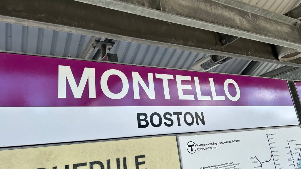
SIGNAGE!
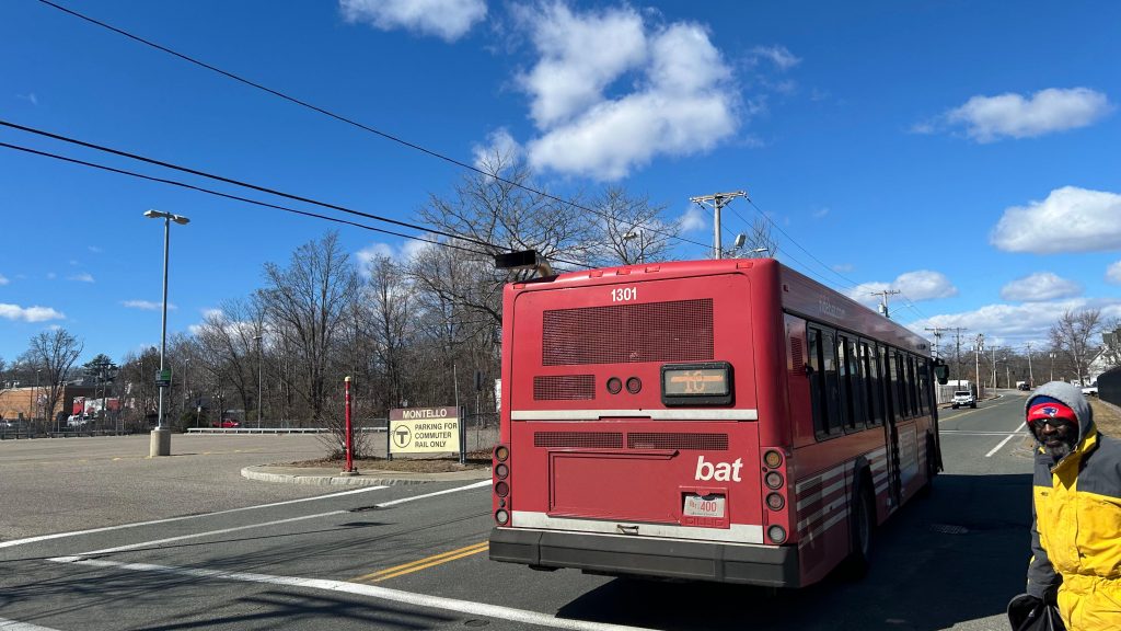
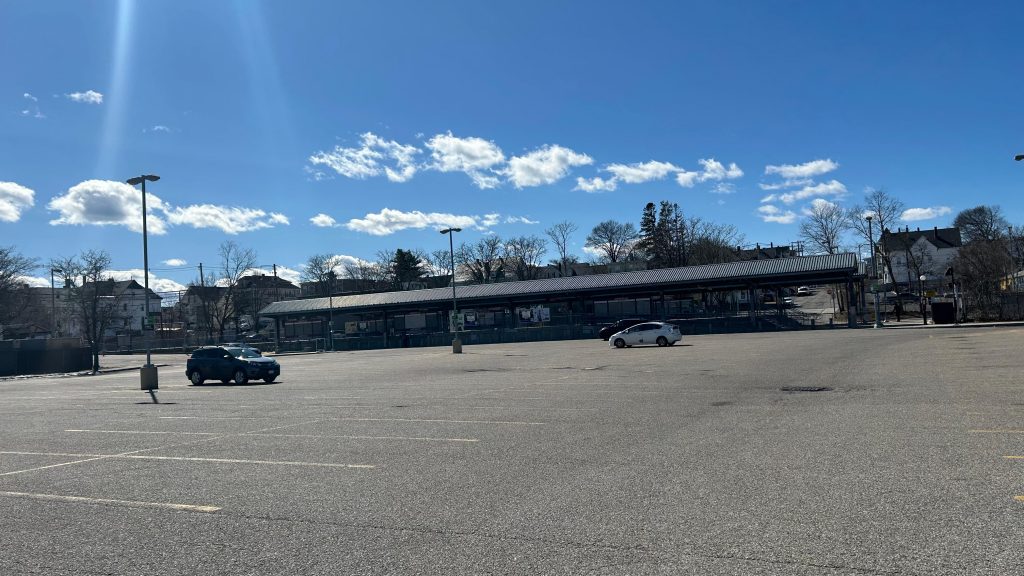
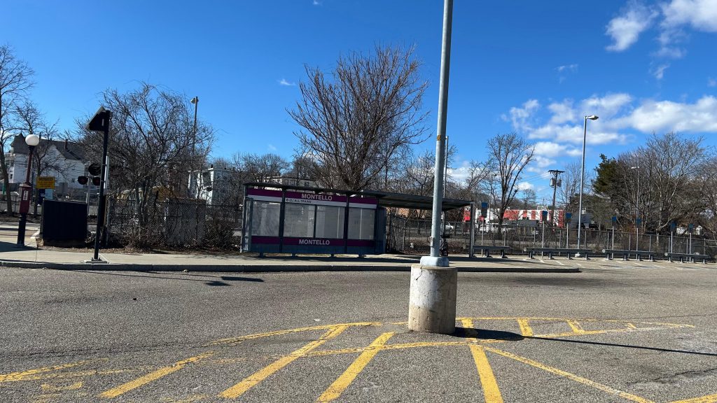
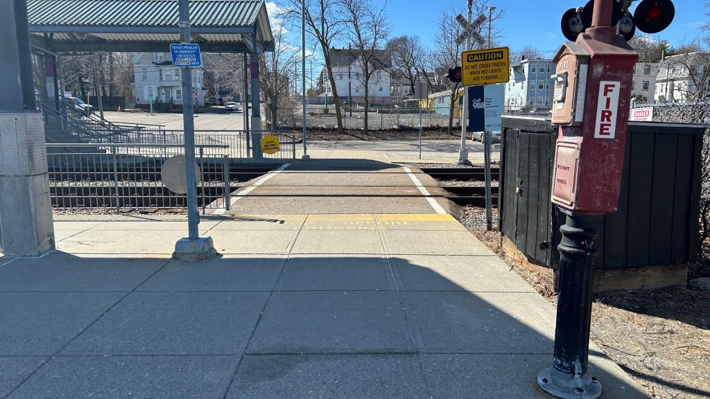
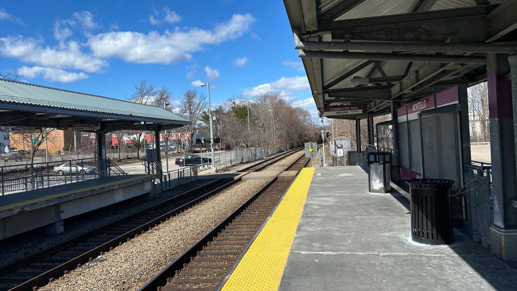
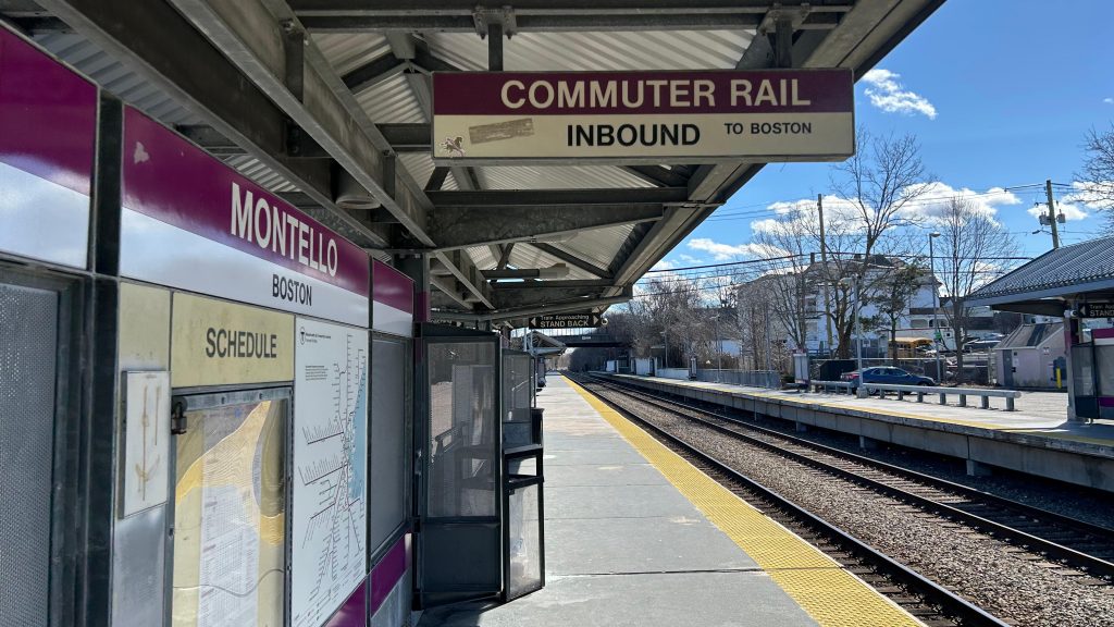
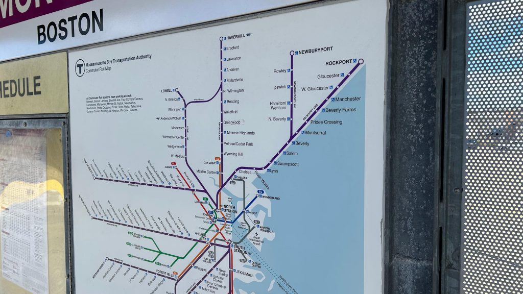
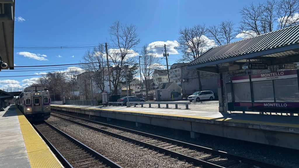
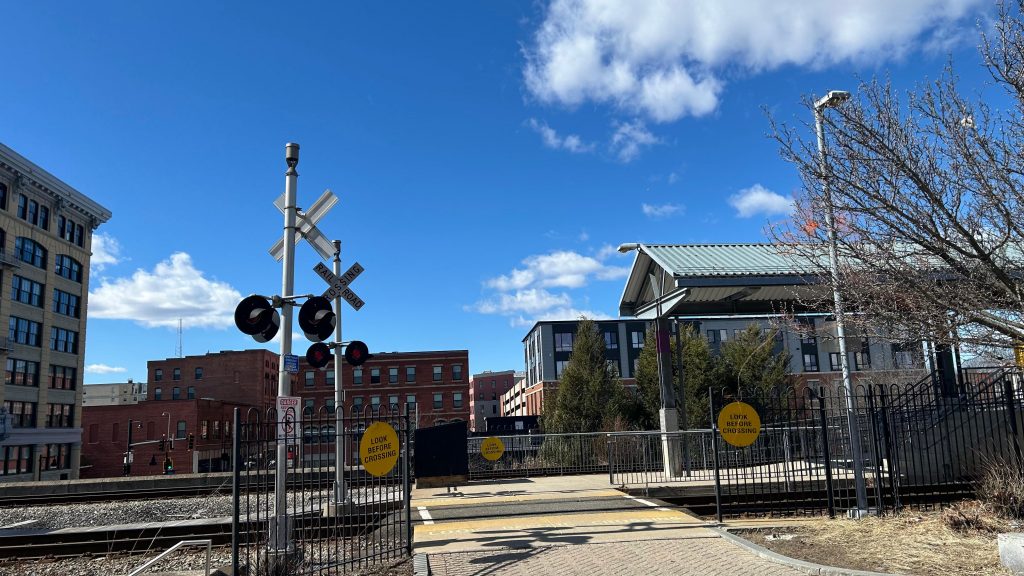
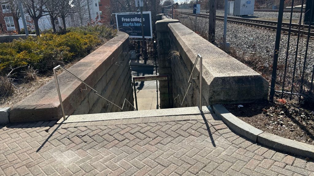
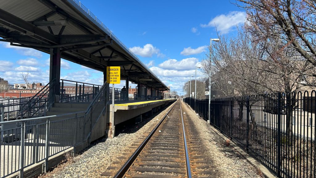
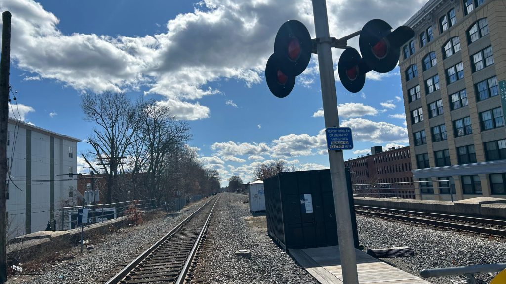
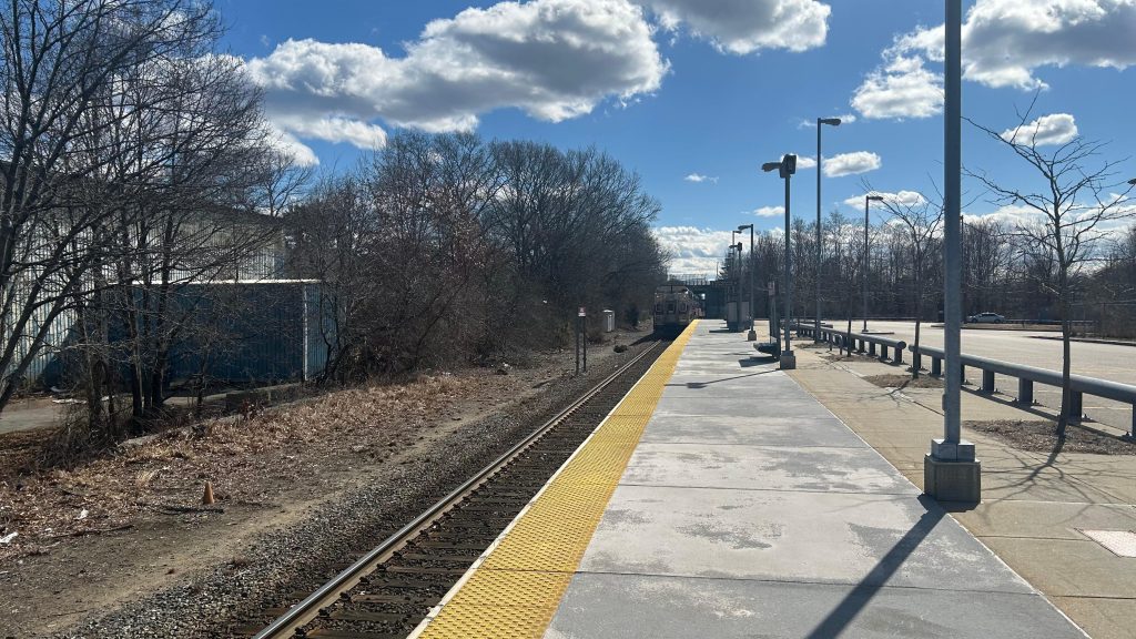
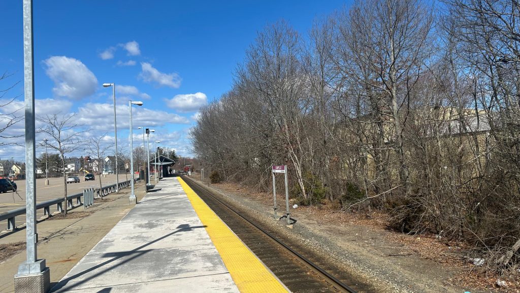
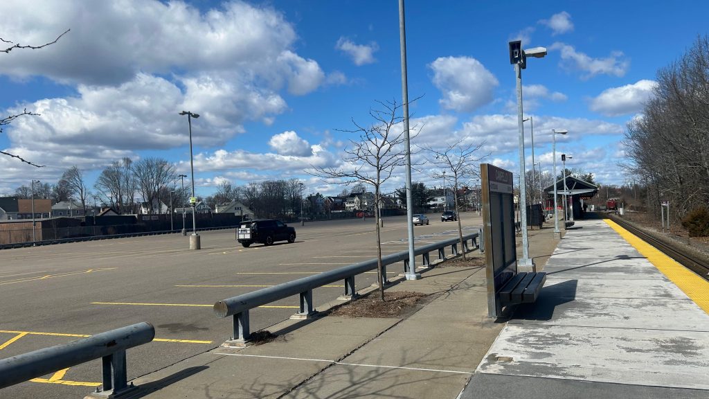
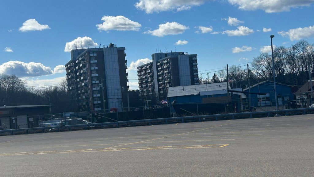
Montello is a station on the Fall River/New Bedford Line, and is one of a handful of double-tracked double-platformed stations on it. With two side platforms, this part of the line is designed for trains to pass, and oftentimes they meet here. The platforms are pretty standard with shelters, yellow signage, benches, and whatnot. Changing sides is done via a grade crossing. BAT buses pick up on Spark Street (written as SPARK Street on Google Maps?), while the MBTA’s route 230 to Quincy stops in the parking lot itself. As for the area, there’s not too much to remark. One side is relatively suburban, while the other is considerably more industrial. It’s also accessible, along with the rest of the line. Neat!
Bye bye, BAT!That’s a lot of parking!I do believe this is where the MBTA’s route 230 boardsGRADE CROSSING!Towards Braintree and Boston!Platform shot looking towards Fall River, New Bedford, and HyannisVERY OUTDATED SYSTEM MAPGET ME OUTTA HERE!!!
The good: It’s high-level! There’s buses and parking! Shelter!
The bad: Eh, the land use could be a little better, but the fact one side is closest to relatively dense housing isn’t bad! Also, can the 230 get a proper shelter please?
Nearby points of interest: Not much it seems. There’s a Stop & Shop nearby, I guess.
Transit connections: Commuter Rail (Fall River, New Bedford) MBTA bus (230) BAT (10/11)
Overall, it’s passable. Not too bad, nothing to remark.
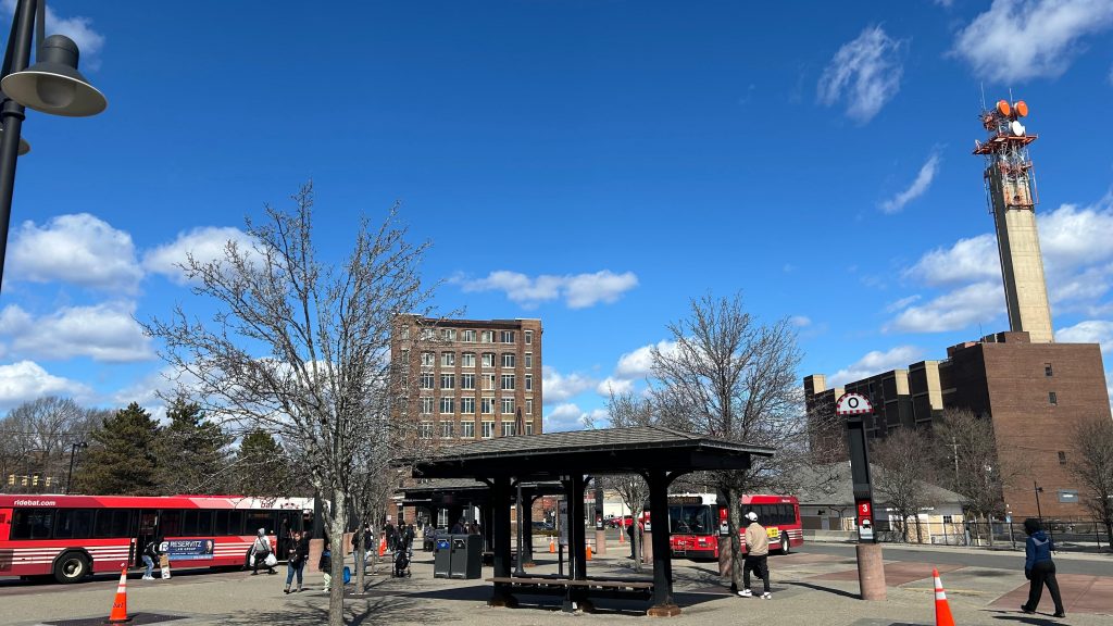
nanananananananana BATMAN!!!!!!!!! Oh, this is the BAT Center, not the BAT Cave? Booooo…….. Well, at least we’re in downtown Brockton now. Oh yeah, there’s a Commuter Rail station here too.
We’ll get to you in a little bit…
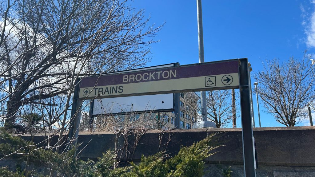
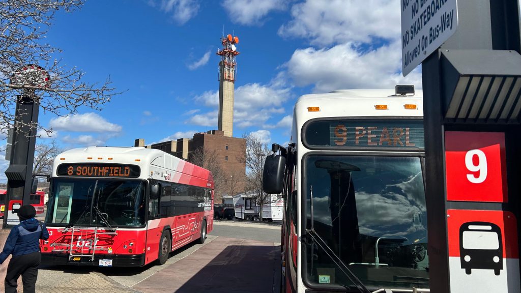
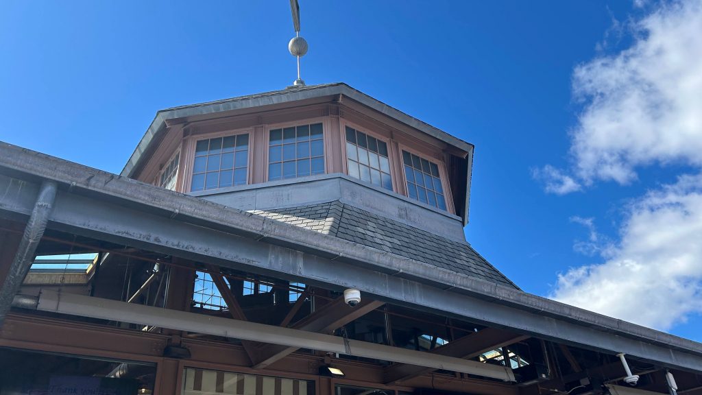
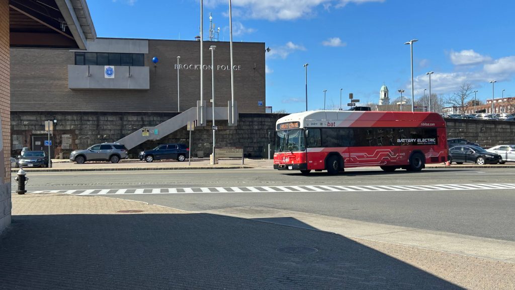
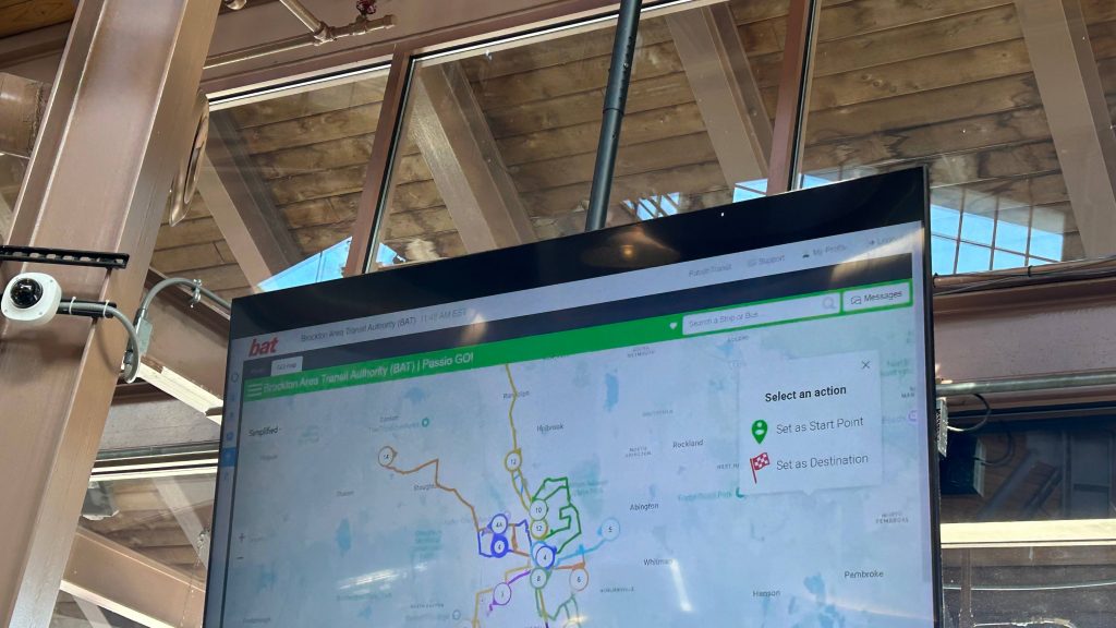
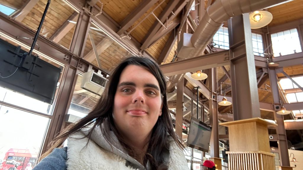
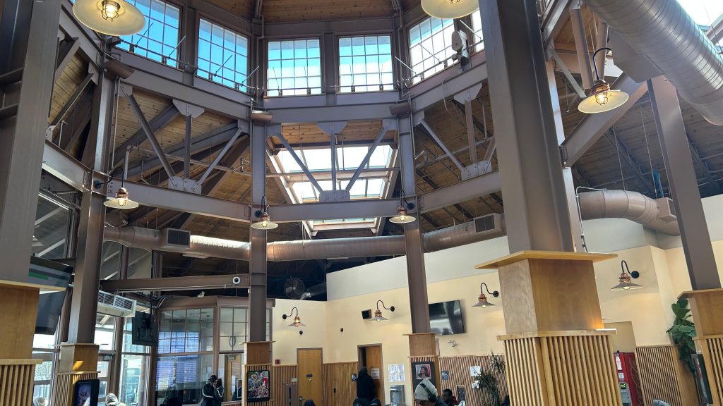
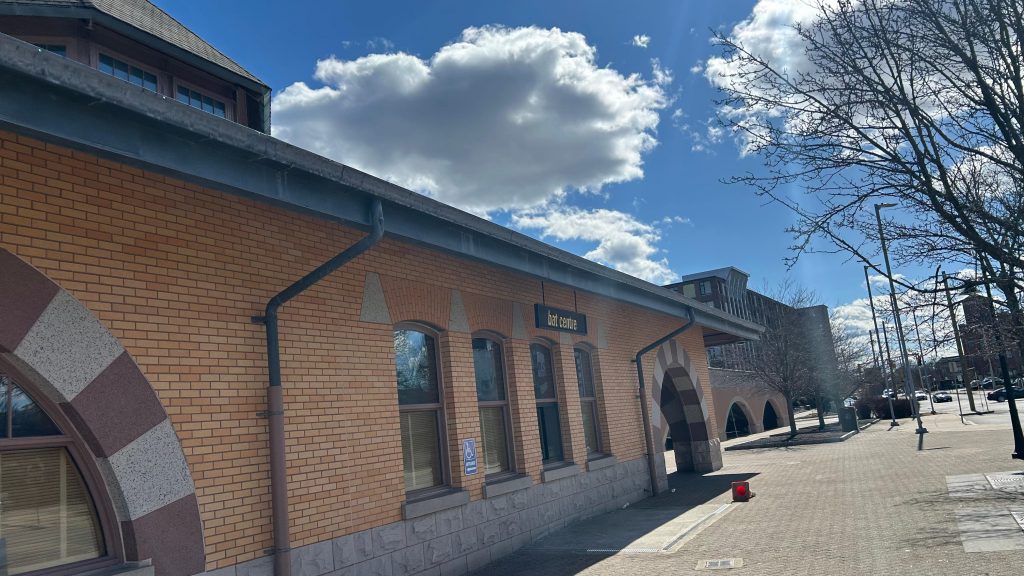
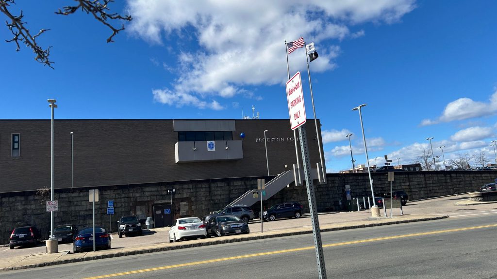
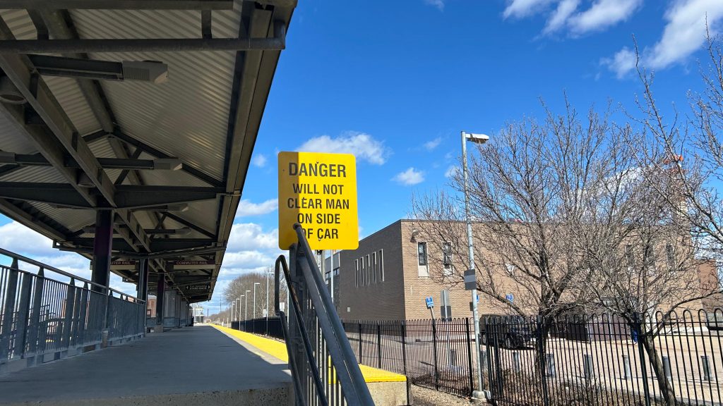
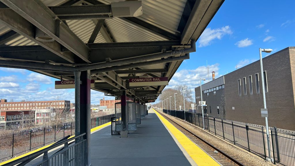
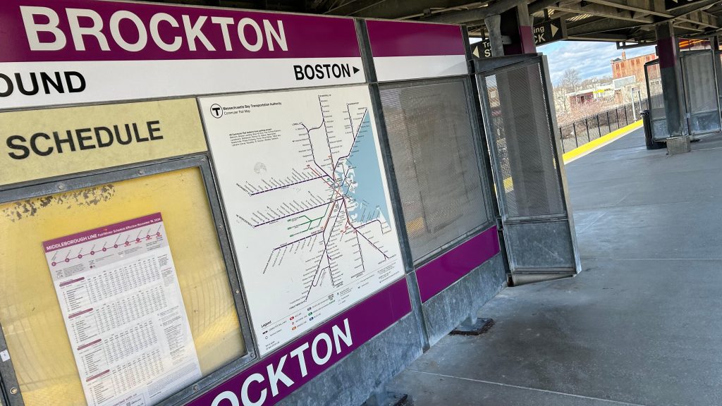
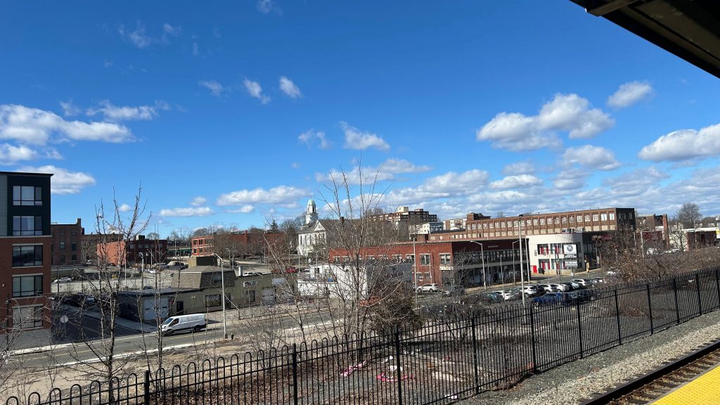
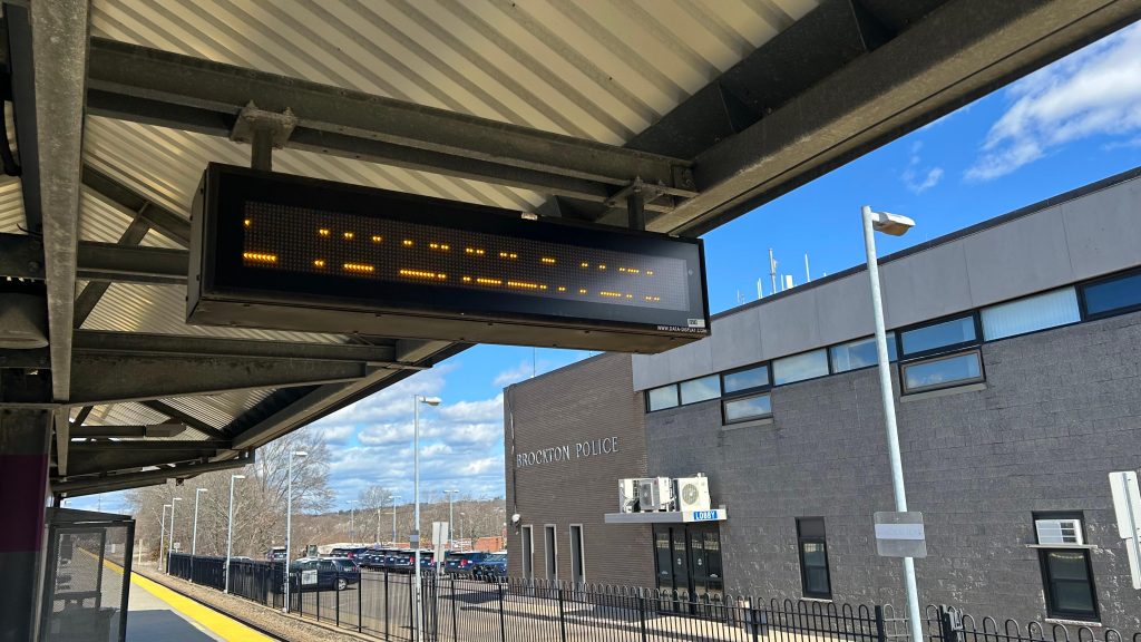
The BAT Center is BAT’s main bus terminal, where all their routes (sans the BSU campus shuttles and the Rockland Flex) all converge. While I was here on a Saturday, the cafe tenant that was here was closed, however in terms of other things, you have restrooms, BAT customer service, a very pixelated system map. There’s also a CharlieCard machine that was barricaded (BAT was fare-free). Yea, that’s right! BAT takes the trusty CharlieCard!!! The building is pretty nice, too, all things considered. There’s a pick up/drop off area on the road between the BAT Center and the Commuter Rail platform. So, walking to the Commuter Rail platform, it’s standard. The fact it’s behind the Brockton PD headquarters is a little sus, but whatever. It’s an island platform, and this section of the line is designed for trains to pass each other. As such, track 1 is outbound and track 2 is inbound. Yellow matrix signage, shelters, benches, blah blah blah. There’s a grade crossing here, though! And it’s in downtown Brockton, which is nice too. There’s some parking, not too much (apparently there’s a garage nearby?), and then, something amazing happened at the top of the hour as my friend and I were leaving.
At the top of the hour and half past, EVERY BAT route leaves the terminal. This, is the pulse. And, by god, is it a glorious thing to witness. All the buses leaving at the same time in a coordinated manner. BAT might be a smaller system, but for a first impression, they REALLY seem to have their shit together. Overall though, not bad!
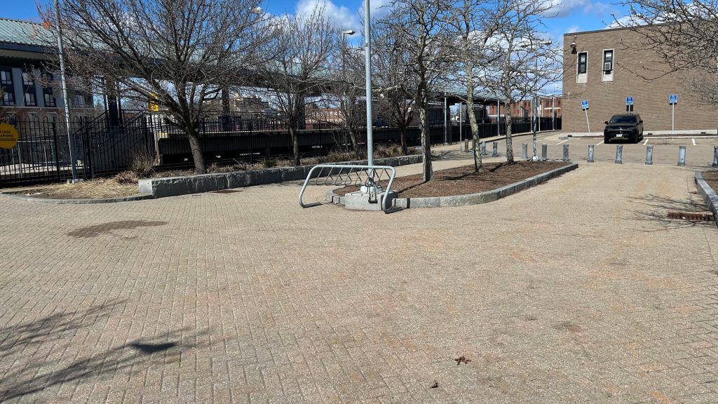
batThe BAT Center!The bus berthsBATTERY BUS! (& the Brockton PD)got any more of them pixels?Hi, from the BAT Center!The interior!Signage for BATThe Brockton PDA bike rack???Grade crossing!Stairs!Towards Braintree and Boston!Towards Fall River, New Bedford, and Hyannis!Women and enbies need not apply!Platform shot!The usualBEAUTIFUL DOWNTOWN BROCKTON!Yellow dot matrix signage!
The good: Location! It’s in downtown Brockton! It’s also intermodal with the BAT terminal and the Commuter Rail station pretty much being in the same spot. Furthermore, the BAT Center has some decent amenities. The Commuter Rail platform is standard, though.
The bad: Eh, not a lot here. I genuinely don’t have anything to say that’s bad.
Nearby points of interest: Downtown Brockton!
Transit connections: Commuter Rail (Fall River, New Bedford) BAT (1, 2, 3, 4, 4A, 5, 6, 8, 9, 10/11, 12, 14)
Overall, it’s probably……the only perfect Old Colony station?! Yeah, looks like we have gold in an unlikely place!
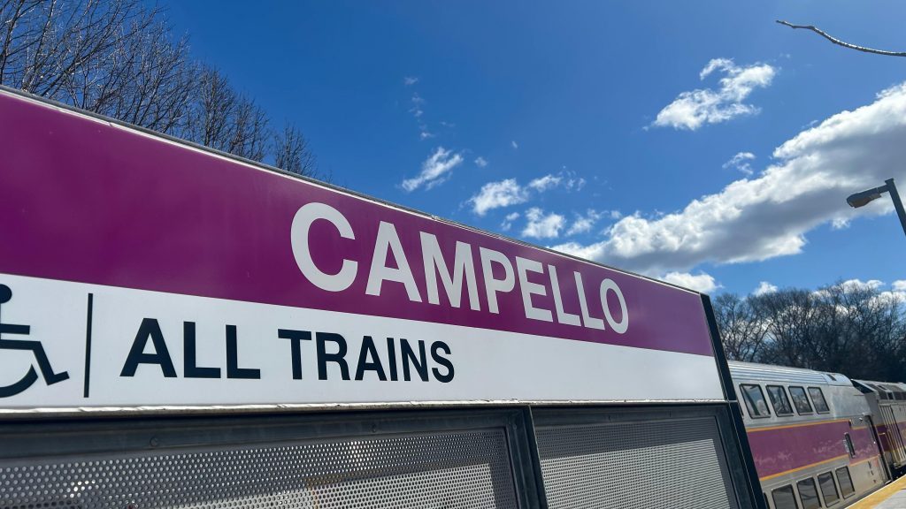
A bigass parking lot? In front of Brockton’s section 8 housing? And with a Commuter Rail platform? Well, don’t mind if I do! Welcome to Campello Station!
Signage!
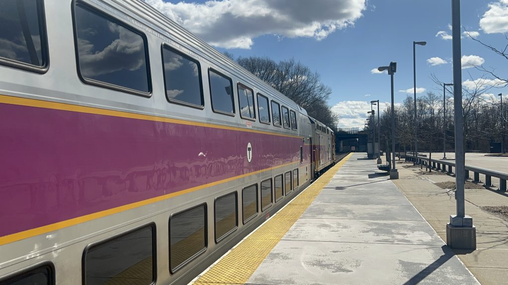
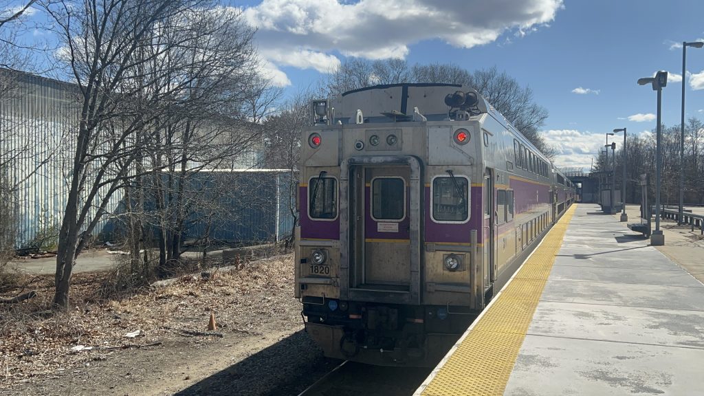
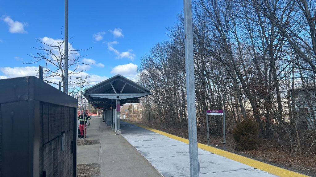
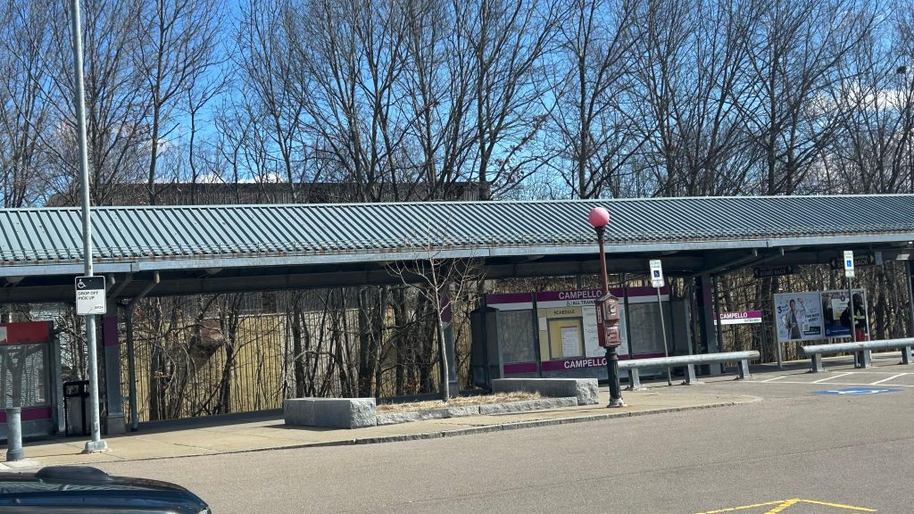
Campello is a singular side platform off the Middleborough (soon to be Fall River/New Bedford) Line, and is original to the 1997 opening of the line from South Station to Lakeville (later extended seasonally to Hyannis in 2013). It’s got your usual Middleborough Line amenities (sheltered area, yellow signage, benches, a lot of parking, etc.), and it’s also got a bus connection by way of BAT’s route 8. Unfortunately, though, the stop was not signed. So, of course, when my friend and I took BAT to get outta here, we had to bolt for the bus. Fortunately, a kind old lady and the bus operator waited for them and (mostly) my slow feet. Yeah, I don’t have much to say about this station. However, as for land use, you have section 8 housing across the street! There’s also a small industrial area nearby as well. I do wonder though, does the Brockton Housing Authority development qualify as MBTA Communities Act compliance? Anyways. I mean, it’s a basic station, but it’s certainly no slouch for land use vs. some other stations.
An F40 bilevel set!Cab car!And away to Fall River New Bedford Lakeville with you!Track shot towards Braintree and BostonParking!Industrial land use!Somehow the section 8 housing feels out of place, but it’s also a necessity.The sheltered areaStation shot
The good: It’s across the street from a section 8 housing development! There’s also a bit of parking, and BAT bus connections! However…
The bad: THE BUS STOP ISN’T SIGNED OR MARKED CLEARLY! Also, is this much parking necessary?! It’s barely filled up on a weekday OR a weekend! Also, I have a feeling that double tracking here might help, but there’s only so much that can be done on that front given the mainline being single tracked in Quincy and South Boston.
Nearby points of interest: It’s mostly suburbia, but you have some industrial stuff and section 8 housing!
Transit connections: Commuter Rail (Fall River, New Bedford) BAT (8)
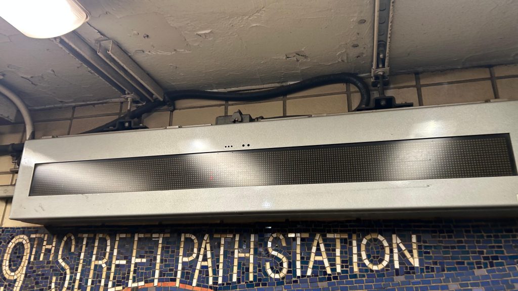
Okay, okay. So, the MTA subway system isn’t the only one in NYC. NY actually has a second, interstate system operated by the Port Authority known as PATH. Surprisingly, though, the system is split about 50/50 with 6 of the 13 stations being in NYC (namely, the stations along 6th Ave., Christopher St., and World Trade Center), while the other 7 are in eastern New Jersey (primarily in Jersey City, but also as far out as Newark’s Penn Station and Hoboken). Now, this and the other 12 PATH stations may be a bit sketch for me to do given the Port Authority has a no photography rule in place, but here we go…
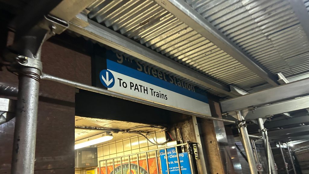
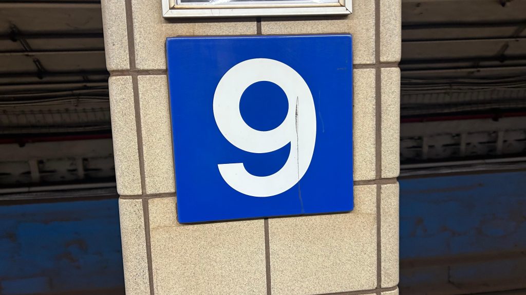
Signage!
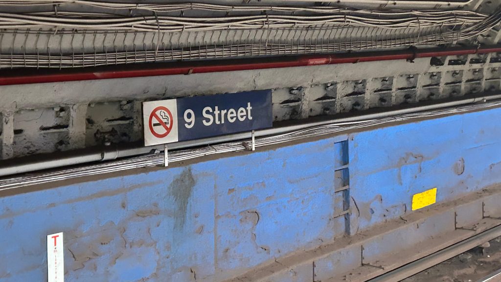
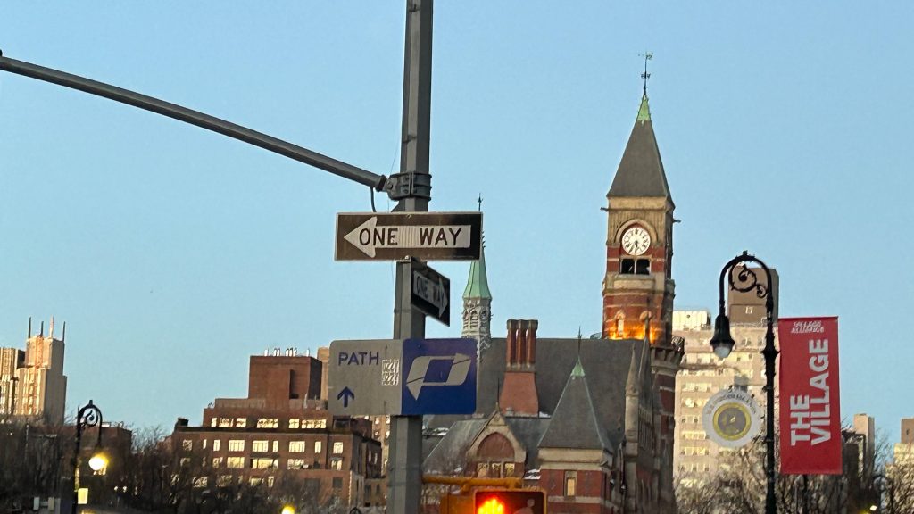
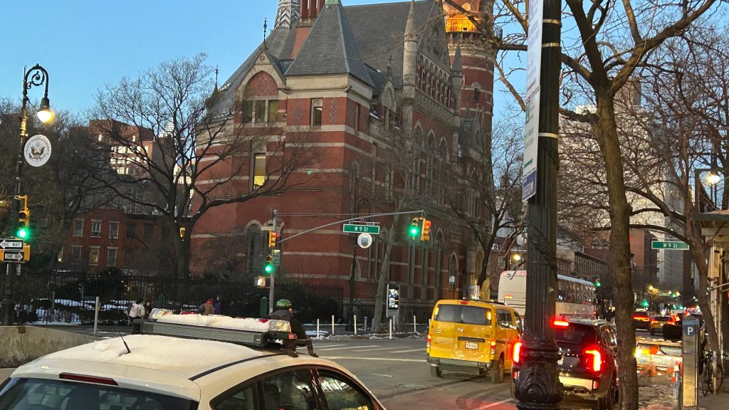
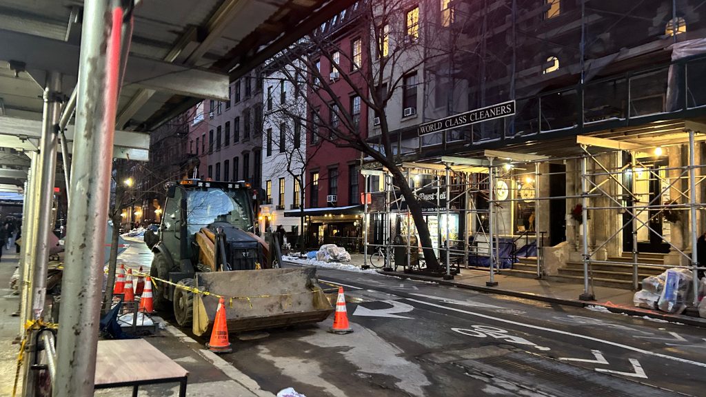
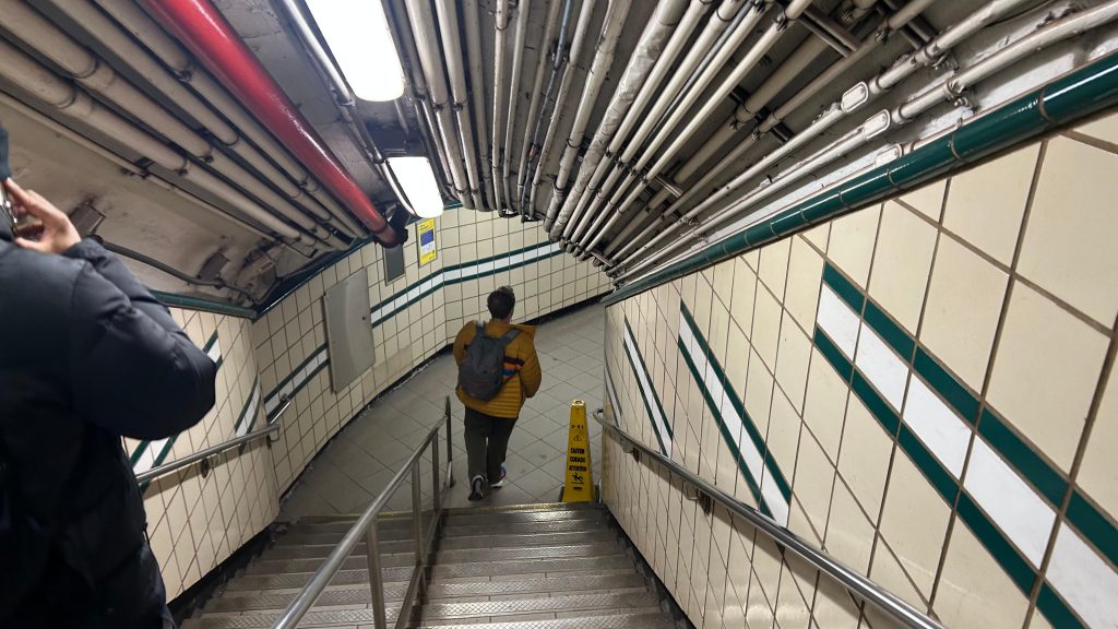
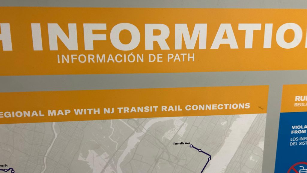
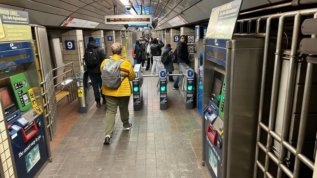
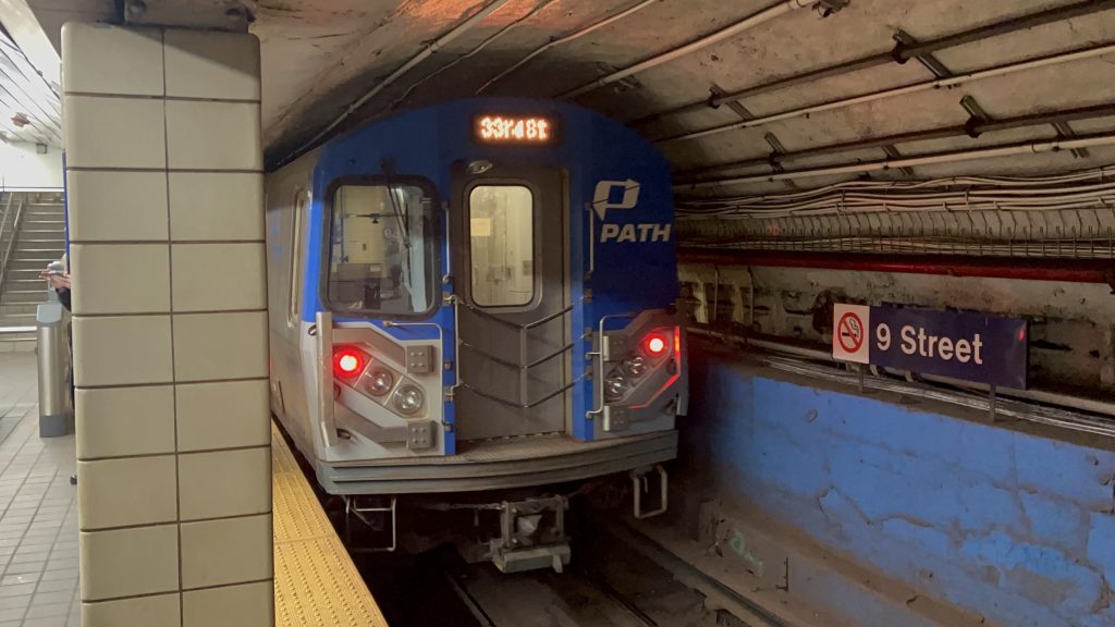
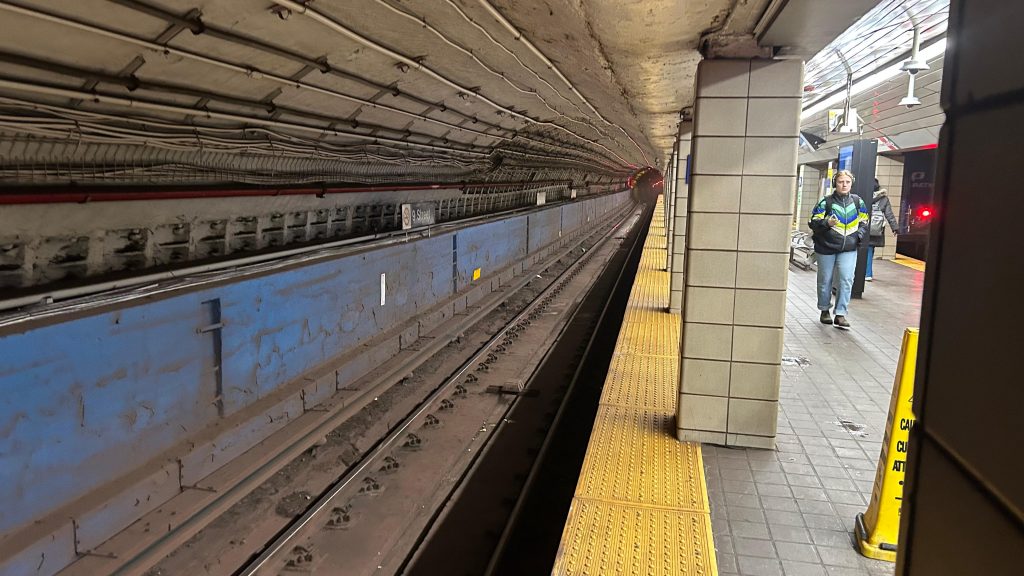
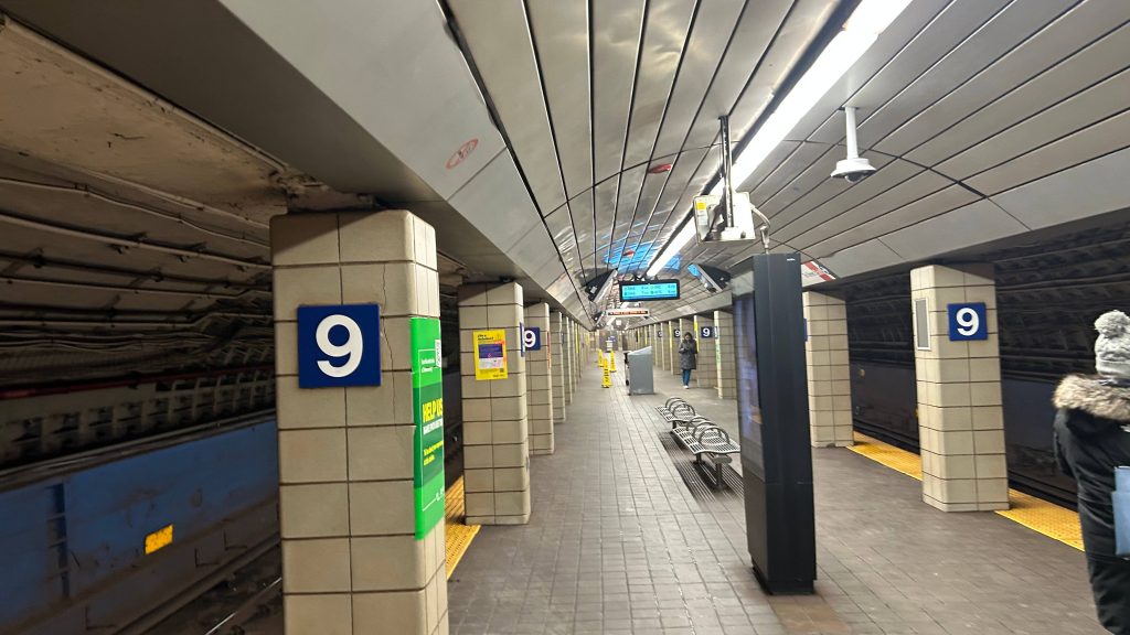
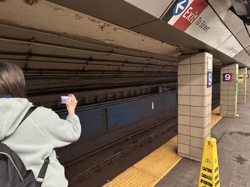
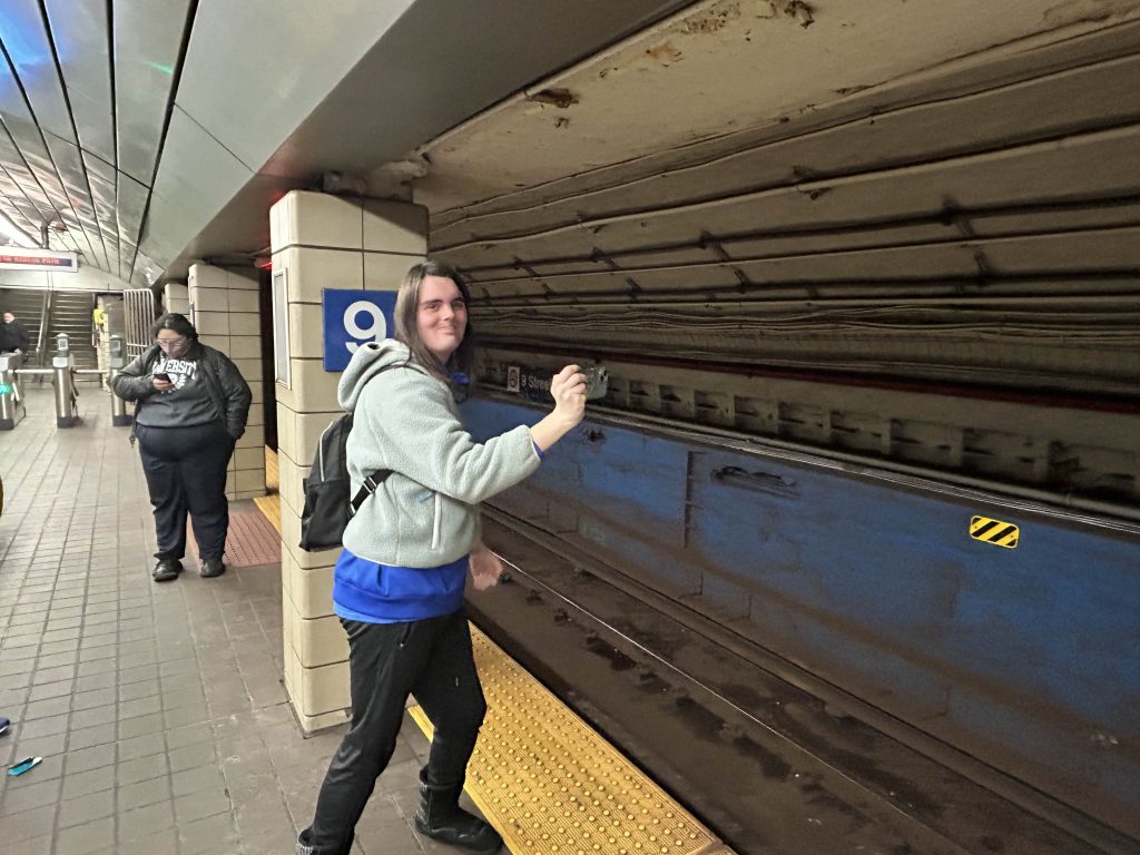
So, this originally came to be when I suggested to Michael, Rome, and Metropolis that we should ride PATH for fun. Surprisingly, they agreed, and we went to the nearest PATH station. In this case, it was 9th Street. And, so, I commenced with the first PATH station review. Firstly, the entrance is actually a pretty long tunnel that’s inaccessible. Signage pointing to the station thankfully does exist at street level, and the entrance itself is pretty inconspicuous. Once inside the station, you have fare gates with OMNY- er, TAPP readers, and PATH ticketing machines. The station itself is relatively pretty clean, it clearly wasn’t trafficked as much as nearby West 4th St., and the platforms had standard amenities one would expect, including benches, trash bins, and even an LCD clock with the next train in each direction (in this case, towards 33rd St./Herald Sq., and towards World Trade Center, as Hoboken was closed). There was even an info board in the tunnel as well that even had the Hudson-Bergen Light Rail! (stay tuned!). Overall, not bad for an introductory entry into a new system! Yay! One other fun fact, this is also the least-used PATH station as well!
Wayfinding!Looking up 6th Ave. a littleThe street outside the station entrancePretty inconspicuous, to be honest.LCD signage!THE STAIRS AND TUNNELInfo board with NJ TRANSIT?!Fare control!WEEWOO WEEWOO FBI OPEN UP THIS IS AN ILLEGAL PICTURE!Looking towards Herald Square!NEIN.Platform shot!
The good: It’s pretty well kept, and can serve both as a local alternative to the MTA subway (uptown) or to NJT buses (towards NJ). It’s also got the standard amenities you’d expect, and is actually very well lit. The station also has distinct character with the more low-key entrance.
The bad: The hole in the wall style of entrance can be a bit hard to find amid the amounts of signage for other businesses found in the area. Also, it’s not an accessible station. Of course, I’d also mention West 4th being close by, but it’s also not an MTA station so I can’t complain about that. My biggest gripes come down to inaccessibility primarily. Also, the platforms can get pretty easily crowded.
Nearby points of interest: You have a library nearby, Washington Square Park, even the Stonewall Inn if you walk a little (this is the closest PATH stations to all of these places). This is also the closest PATH station to NYU, as well.
Transit connections: PATH (Blue/HOB-33, Orange/JSQ-33) MTA bus (M8, M55)
Overall, not bad for a first PATH station. It’s nice for what it is, though inaccessibility is annoying. But, I guess that also means no piss-scented elevators! Anyways-
*hears police sirens getting closer*
Oh shit, Port Authority transit police is after me, aren’t they… FUCK.
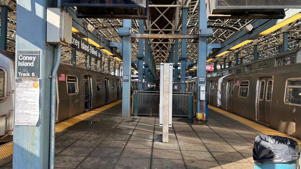
Stillwell Terminal, Stillwell Terminal, Stillwell Terminal… Well, this station manages to both be useful AND a rather season-dependent station. I mean, it’s no slouch for ridership during the colder months, but I’m making a safe presumption that even during warmer months, it’s busy here due to crowds gong to Luna Park and the beach. Oh yeah, did I mention there’s also a minor league stadium and an aquarium nearby too?
I forgot a pic of the station signage, so this will have to suffice.
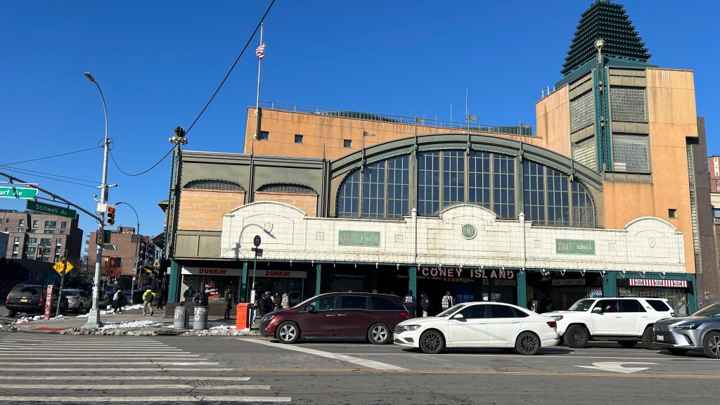
Now, we have a lot to unpack here, so let’s look at the history of this station. I’ll be giving the abridged version, so it’s not a full in-depth overview. So, here we go. The terminal was formally opened in 1919, and became the terminus of the the BMT’s (then Brooklyn Rapid Transit Co./BRT’s) West End (today’s D line), Sea Beach (N Line), and Brighton (Q Line) lines. The opening of the Brighton extension specifically marked the formal opening of the terminal, however it officially wasn’t official until the BMT’s Culver Line (now the F and FX lines) was opened into here. Also as a result of the Culver extension here, the special fare to access here was killed, making the area considerably more affordable to reach. Eventually, the BMT’s Culver Line was handed over to the IND, which then operated its D line over it (later, presumably in the MTA years, the F would then be sent down the Culver elevated, with the D then being sent down the ex-BMT West End elevated). Unfortunately, the station would quickly fall apart, and in the 2000s, the MTA stepped in, evicted everyone for renovations, and spent almost 4 years renovating the station. These renovations also made the station accessible with elevators and ramps to each platform. Neat!
The historic terminal…
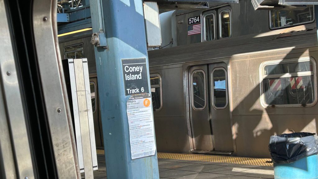
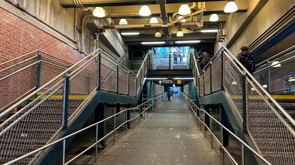
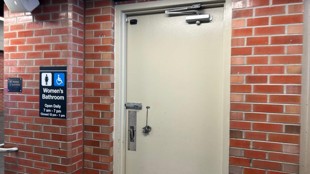
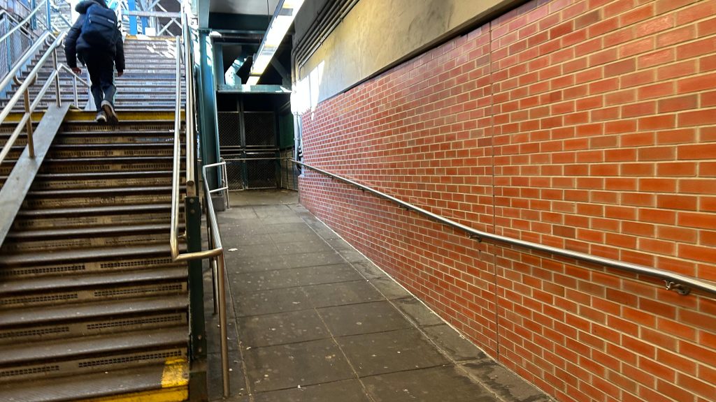
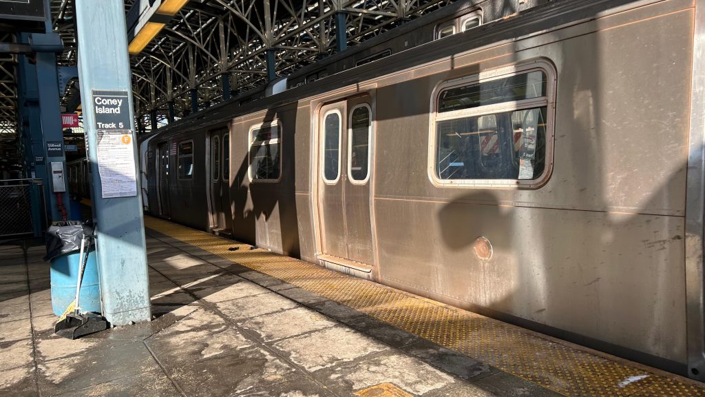
Coney Island has four island platforms and 8 tracks, one for each line that runs through. You have the D to Norwood via the West End, the F to Jamaica via the Culver elevated, the N to Astoria via Sea Beach/Gravesend, and the Q to the East Side via Brighton. All the platforms also have the standard amenities: countdown clocks, benches, signage, that stuff. As stated in the intro, ramps and elevators both exist, making the station fully accessible. There’s also restrooms, but I would probably be traumatized if I looked. There’s even a Dunkies here! Neat! Also interestingly, this station also has a busway. Hell, there’s even a customer service center here as well! Also, the roofing here is all solar panels, and it was the first station on the whole system to be solar-powered. Cool! 😀
….a B92, yet this one was signed for “D TRAIN BAY 50 ST.”????? I hope I’m misremembering the route number because Google suggests that’s a G line shuttle routeThe concourseVery open. Not overbuilt in the summer, though!I spy a busway…Ramps!Oh no.Looks mildly sketchThis is an uptown F local train.The platform!
The good: It’s pretty nice in how it looks, and is very distinct! It’s also an important station in terms of usefulness and for how important it is to the community at large! Furthermore, it’s the closest station to a pretty major tourist attraction as well. I mean, it’s no Times Square or Penn Station, but it’s no 96th/Lexington either. I actually genuinely like this station. Not because of the station itself (although it is cool in appearance) but because of what’s around it. There’s also restrooms, I guess… But hey, a customer service booth exists!
The bad: The ramps can be annoying to navigate if you need accessibility, and good luck if the elevators shit themselves. I’m also scared to think of what the bathrooms look like.
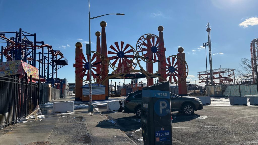
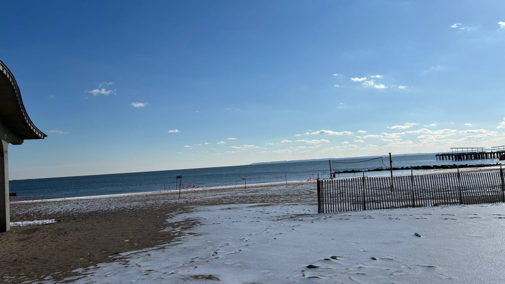
Nearby points of interest: C’mon, this should be obvious. But nah, to specify: Luna Park @ Coney Island, Coney Island Beach, and Maimonides Park, where the Brooklyn Cyclones play (repping minor league baseball, woohoo!). NYU’s baseball team also plays here, as does Brooklyn FC. There’s also the New York Aquarium, but that has a station considerably closer (though, stops ARE very close together, so I may as well mention it anyways). There’s also a skating rink and the Ford Amphitheater as well. Also, Nathan’s Hot Dogs, and you can get Coney Island dogs here, (of which, RI’s famed NY system weiners are derived from), and there’s also the Wonder Wheel.
Transit connections: 6th Ave. Lines (D, F, FX) Broadway Lines (N, Q) MTA bus (B36, B64, B68, B74, B82)
Overall, this station’s an important one, one of the most famous (I’m not even sure I can do it fair justice!), and is very iconic. It’s also one of the most-used stations by the tourist population, as well.
Rating: 7/10
A little liminal!This is actually kinda nice, despite it being the middle of winter.
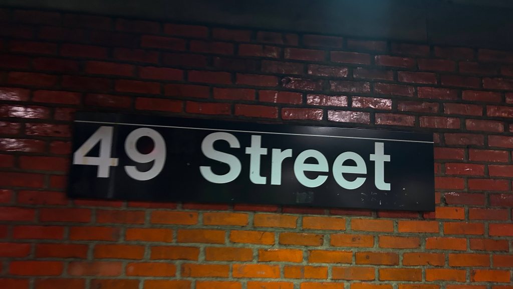
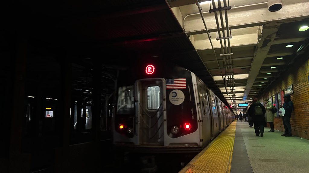
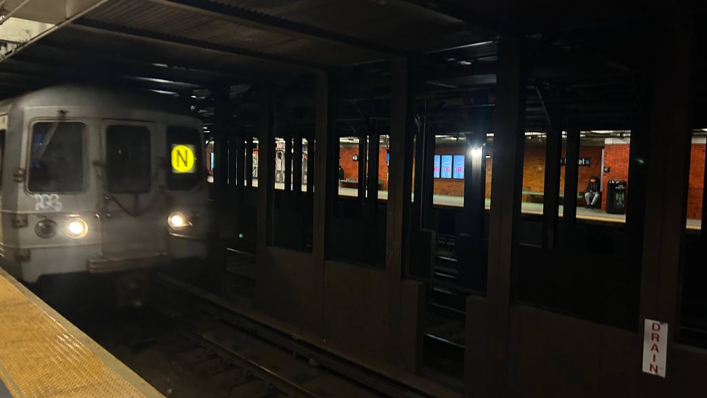
49th Street is an ex-BMT subway station on the MTA’s N, R, and W lines. With it as close to Times Square, is it as good as it? Or, perhaps, is it better as a lesser-trafficked alternative? Let’s find out!
Station signage!
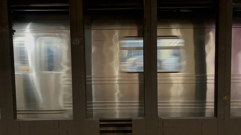
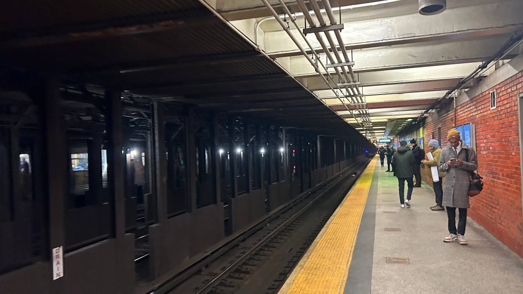
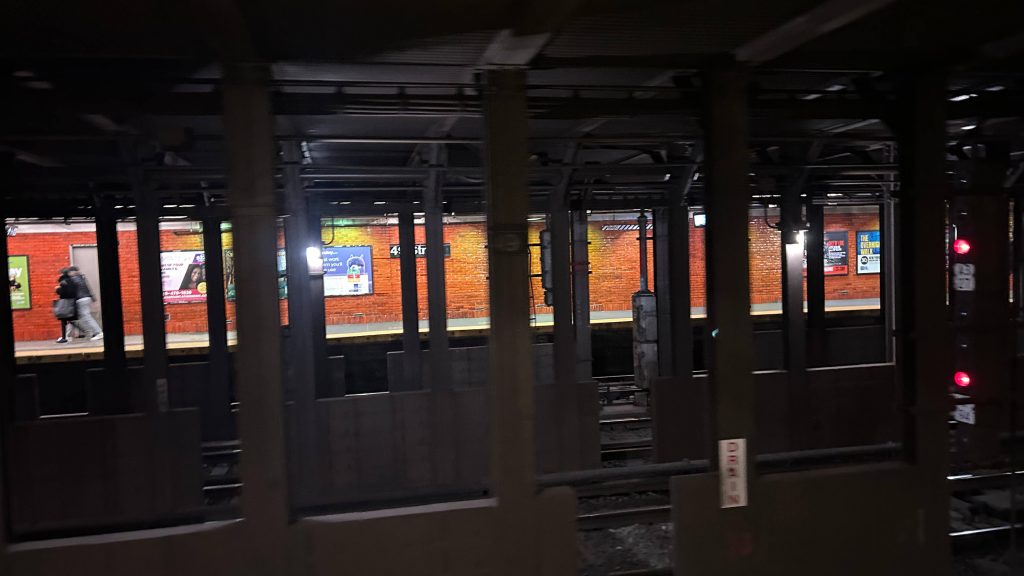
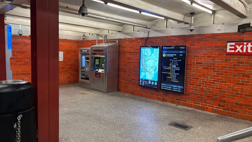
49th St. is located on the intersection of its namesake street and 7th Ave., with the platform reaching all the way down to 47th Street. The setup is pretty standard, being two side platforms. The R and W both stop here, predictably, as both are the designated local lines among the yellow-colored lines. However, the N line (Astoria-Coney Island via Sea Beach, Manhattan express) also serves here, which is unusual for an express line. However, this anomaly exists for a pretty good reason, actually: Astoria-bound trains run through the 60th St. tunnel, and since the 60th St. tunnel can only be accessed by the local tracks, the N has to run locally. Furthermore, the N can’t be forced onto the local tracks immediately before for one reason: there’s no interlocking between here and Times Square! Though, I do find it odd that the N doesn’t switch at 57th St./7th Ave., but rather switch between Herald and Times Squares. I digress. The station is pretty standard, with two platforms built to BMT specifications, has your standard amenities, is pretty well-used (but not to the same degree as Times Square), and is even accessible! Well, kinda. Annoyingly, elevators ONLY exist on the northbound platform. But, allegedly, plans exist to install one on the southbound platform. So, I guess if you need accessibility, take a local train north, and then turn around at 57th/7th. Alternatively, just take the bus to Times Square, I guess. There’s also, allegedly, a concourse connection to 47th-50th/Rockefeller Center, as well, but I didn’t look. Overall though, it’s not too bad a station. Neat!
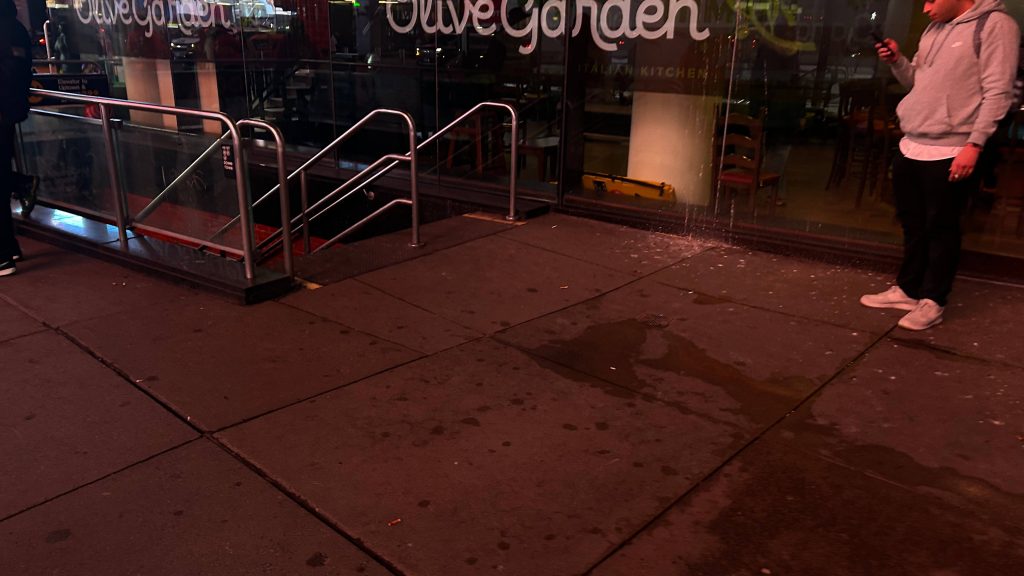
This is a downtown R train. the NEXT stop is: Times Square-42nd St.THERE IS A. DOWNTOWN. N. TRAIN TO. CONEY ISLAND-STILLWELL AVENUE. APPROACHING THE STATION.There’s something that hits hard about seeing express trains blowing through the middle tracksLooking southOpposite platformMezzanine, with an OMNY machine?!Times Square is still fucking cool, ok?The Olive Garden entranceThis is a vibe.
The good: It’s an alternative to Times Square, if you’re claustrophobic! If you’re using the northbound platform, there’s also a connection to the Rockefeller Center as well. It’s also got some accessibility!
The bad: It’s only partly accessible. The southbound platform needs an elevator. The N should not stop here. There’s also no in-station transfer to the opposite side. Oof.
Nearby points of interest: Times Square’s northern fringes! You also have Olive Garden and M&M’s! Primarily, though, it’s still Times Square – just the northern fringes of it.
Transit connections: Broadway Line (N, R, W) MTA bus (M7, M20, M50, M104)
Overall, it’s not a bad station, however I’d take Times Square any day.
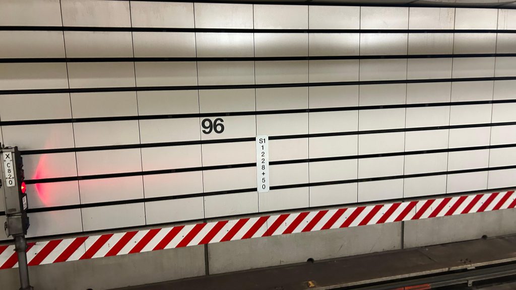
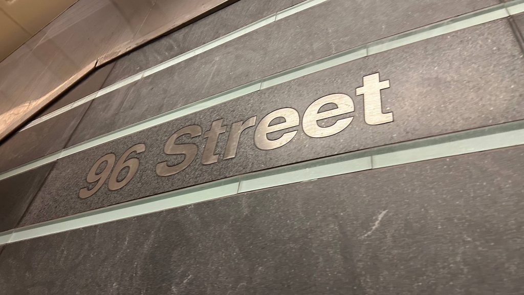
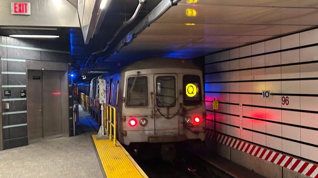
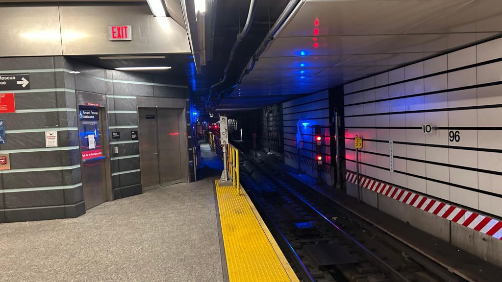
On New Years Day in 2017, a new MTA subway line opened, with service to three new stations underneath 2nd Ave. in Manhattan’s East Side: 72nd, 86th, and 96th St.’s. However, there’s plans for extensions both north to 125th/Lexington & Park, and down to Hanover Square and Manhattan’s Seaport. This happens to be the northernmost of the 3 stations, and the current-day (as of writing this) terminus of the Q line. Welcome to 96th St./2nd Ave.
Signage opposite the platformsPlatform-side signage. Fancy!
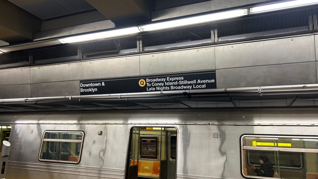
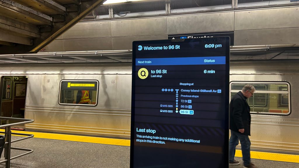
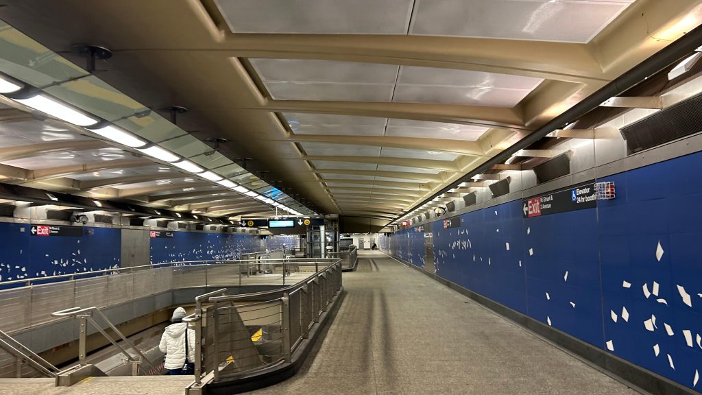
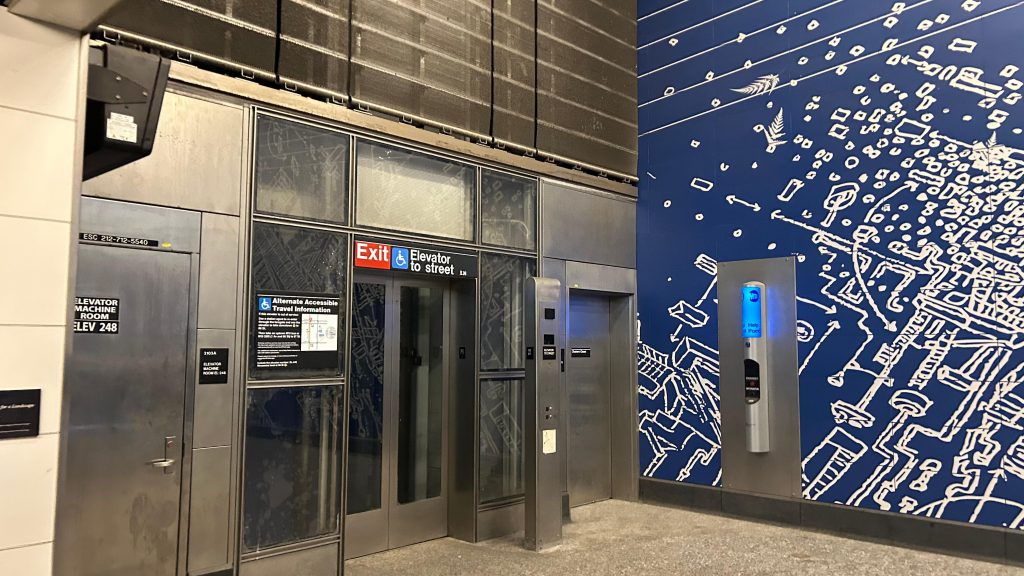
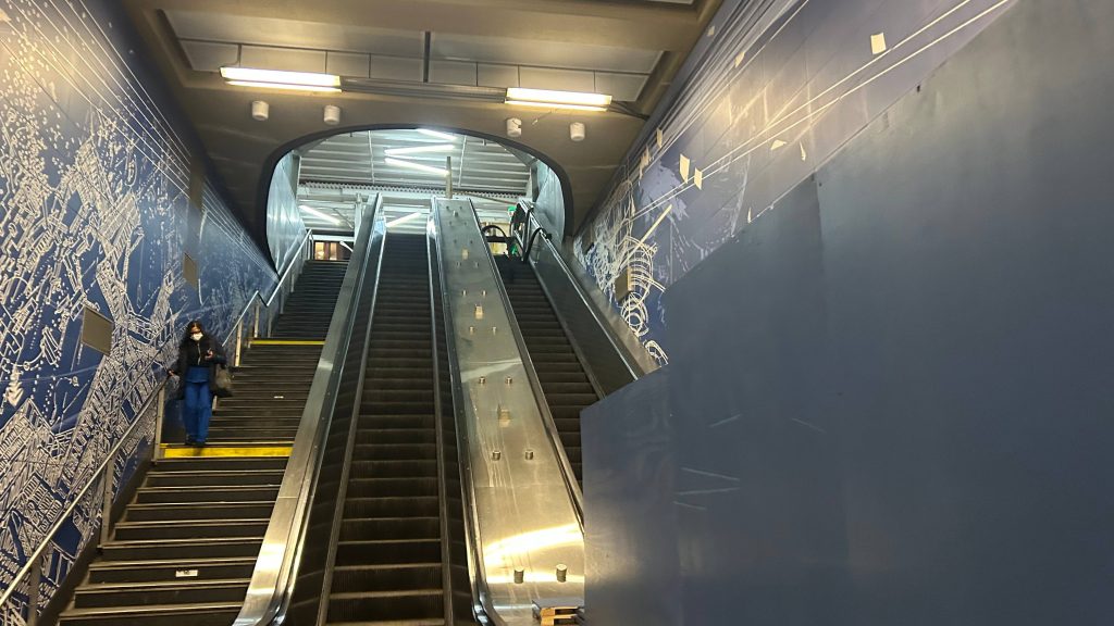
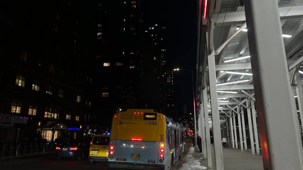
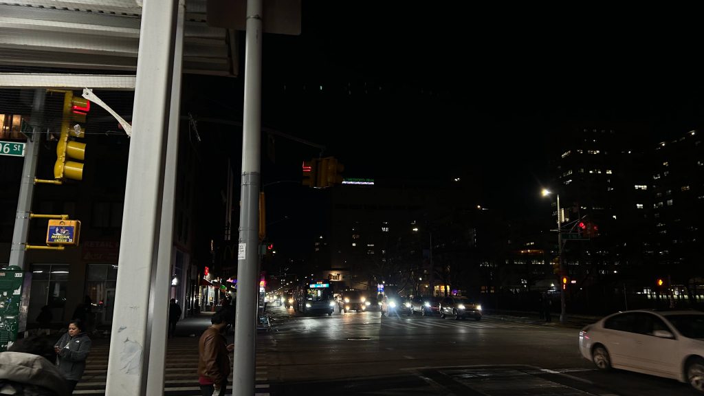
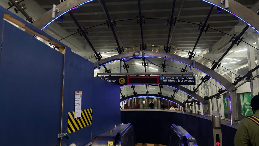
For some weird reason, despite it being defunct for many years now, these stations are all classed as ex-IND stations. Not sure why given only the MTA exists, and as far as I could find the IND was killed off in the ’50s when the system was unified into the present-day MTA (& as such also the ex-BMT and ex-IRT sections were merged in too, though only the BMT and IND are inter-operable, as the B division of the present-day system. If you need to know, numbered lines are the A division, lettered are the B division, essentially.) Anyways, with that out of the way, and the fact it took a REALLY LONG TIME just for these three stations to be built (& with phases 2, 3, and 4 in limbo presently), the station itself is really, REALLY overbuilt. Was the MTA really trying to channel the inner ex-IND energy here?! Like, gee, I get the IND in particular was overbuilt to handle the potential for crowding, but I don’t exactly think that’s an issue that needs apply here. This isn’t a major transfer station in lower Manhattan, for crying out loud! Nevertheless, while it feels a little sterile, it’s not to an extreme to where it’s overbearing. The stone accents are pretty cool, and the platforms all have standard amenities. There’s even countdown clocks and signs pointing to the next platform departing. Neat! The escalators down have a cool light installation (it was nighttime when I was here and was able to see it!). However, though, while the restrooms are closed overnights and between 12 and 1, Rome informed me the women’s restroom was essentially unusable. I didn’t even want to look in the men’s room for fear of being traumatized. On the upside, for buses, you primarily have the M15 which runs down 2nd Ave. between 125th St. and South Ferry, and the M96 crosstown route (that is, east-west). I do have one question though: WHY WASN’T THIS SECTION OF THE SYSTEM BUILT WITH CBTC FROM THE OUTSET?! I digress. Overall, not a bad station! And, I’m sure 72nd and 86th St.’s will hold up pretty well (given they’re largely carbon copies).
An R46?!Looking downtown!Broadway express, late nights localA countdown clockWAY OVERBUILT MEZZANINE, IF THE IND EXISTED TODAY!Elevator!Stairs and escalator to street level!An M15-SBS at night!Looking up 2nd Ave.!The lighting looked kinda cool here!
The good: The lights outside look cool, as does the headhouse! The station itself is relatively pretty damn clean vs. the rest of the system (can be attributed to it still being a very new station), restrooms at least exist, and overall it’s a pretty decent station. Elevators also exist, with it still being new.
The bad: The women’s restroom is unusable (per Rome) and I am presuming the men’s room is outright traumatizing. This station is kinda overbuilt, too.
Nearby points of interest: There’s some section 8 housing nearby, along with some playgrounds and other green spaces. The Harlem River is also a stone’s toss away, if you can cross FDR Drive somehow.
Transit connections: Broadway Line (Line Q) MTA bus (M15, M15-SBS, M96)
Overall, this station isn’t that bad. A bit overbuilt, yeah, and admittedly not the best place to turn trains or to terminate them, but it really isn’t that bad in the grand scheme of things. And, given phase 2 of the 2nd Ave. tunnel has funding (that’s to build the tunnel to Park/Lexington Ave.’s, and to build stations at 106th, 116th, and 125th & Park/Lexington for a transfer to the #s 4-6 lines, which I think is a better place to terminate than in the middle of relatively nowhere), there’s actually a decent future for this station. Not bad! But, I do have a question though: Why IS this station classed as an IND station, if the IND is long dead?!
The Q70-SBS is a short and simple run between 61st and 74th St. stations in Queens, to LaGuardia Airport. Let’s take a look at it, shall we?
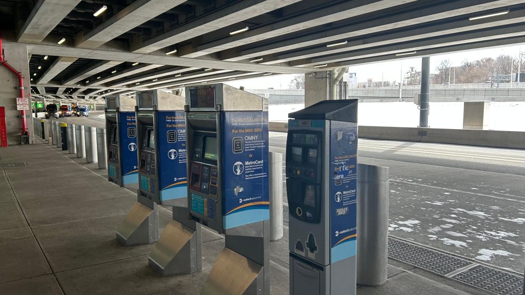
Nonfunctional OMNY readers
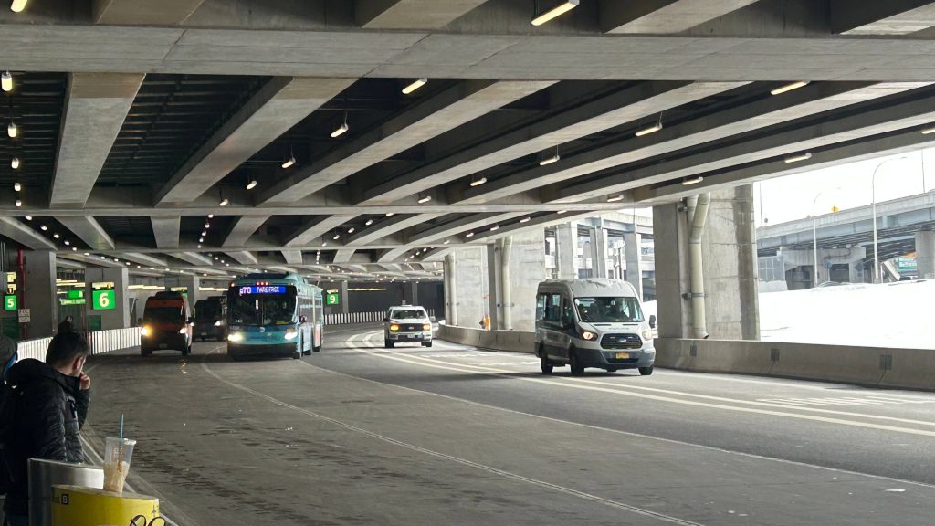
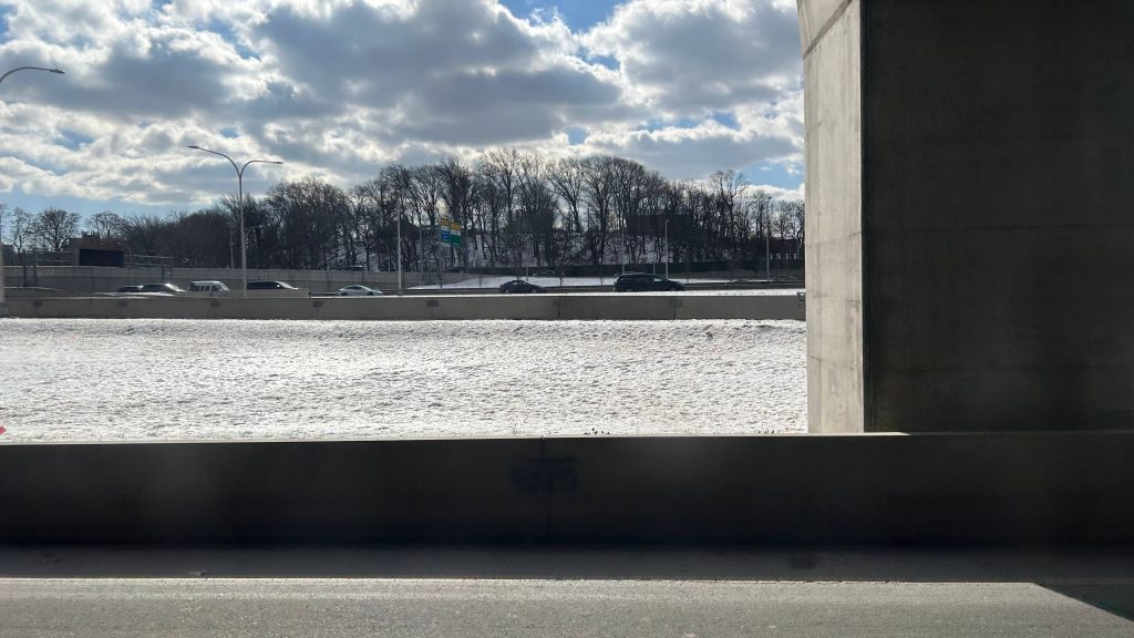
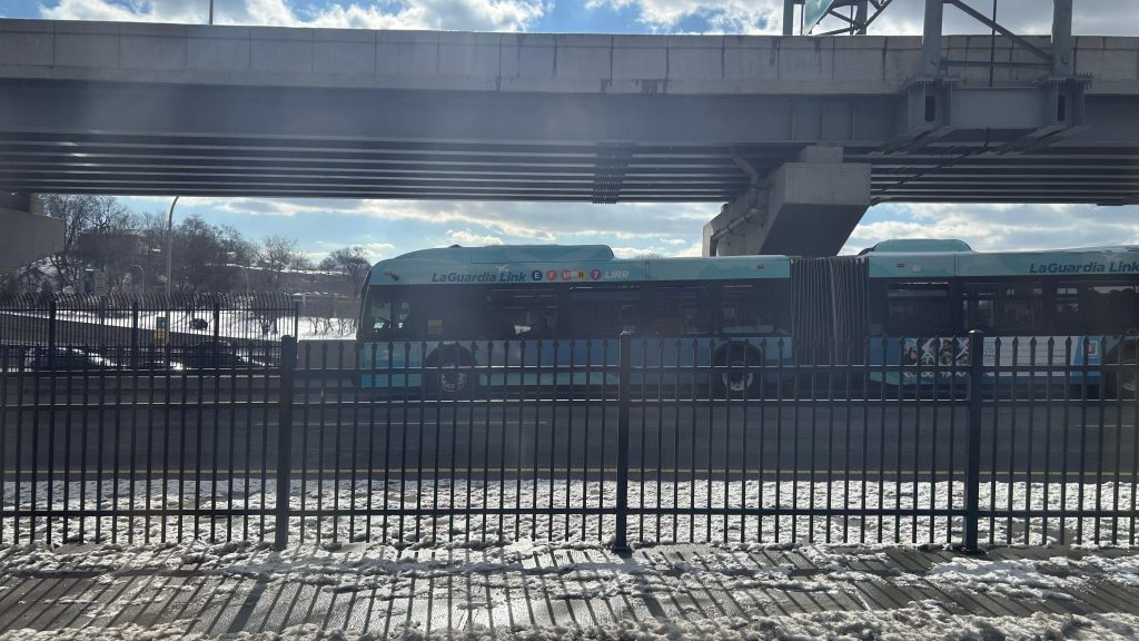
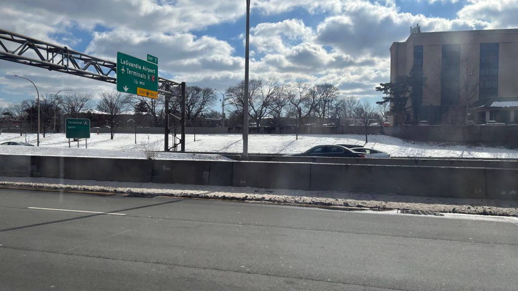
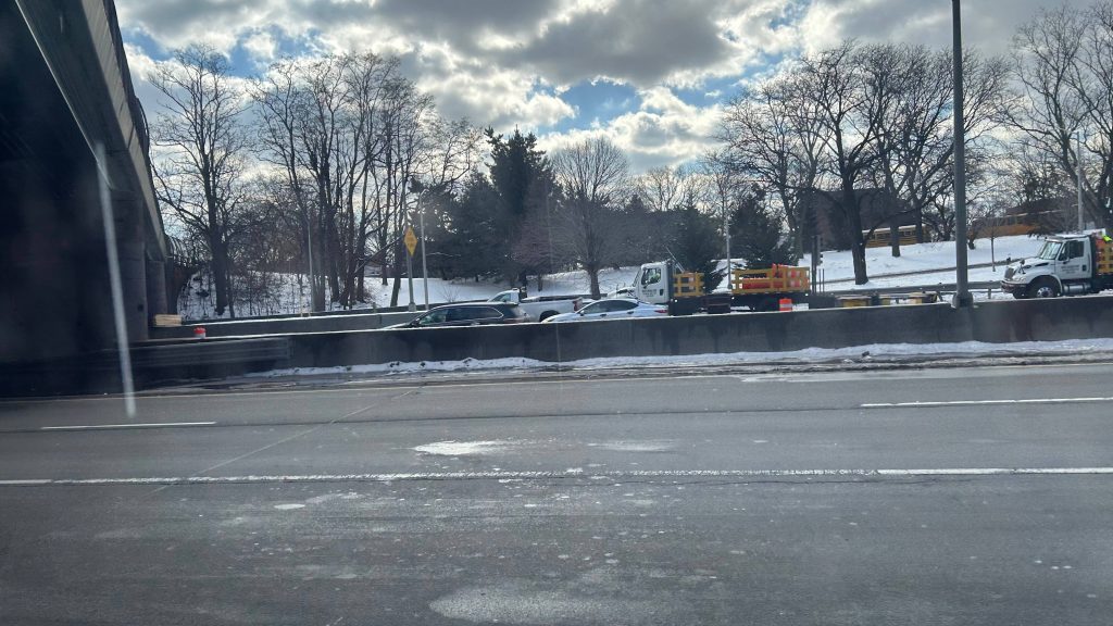
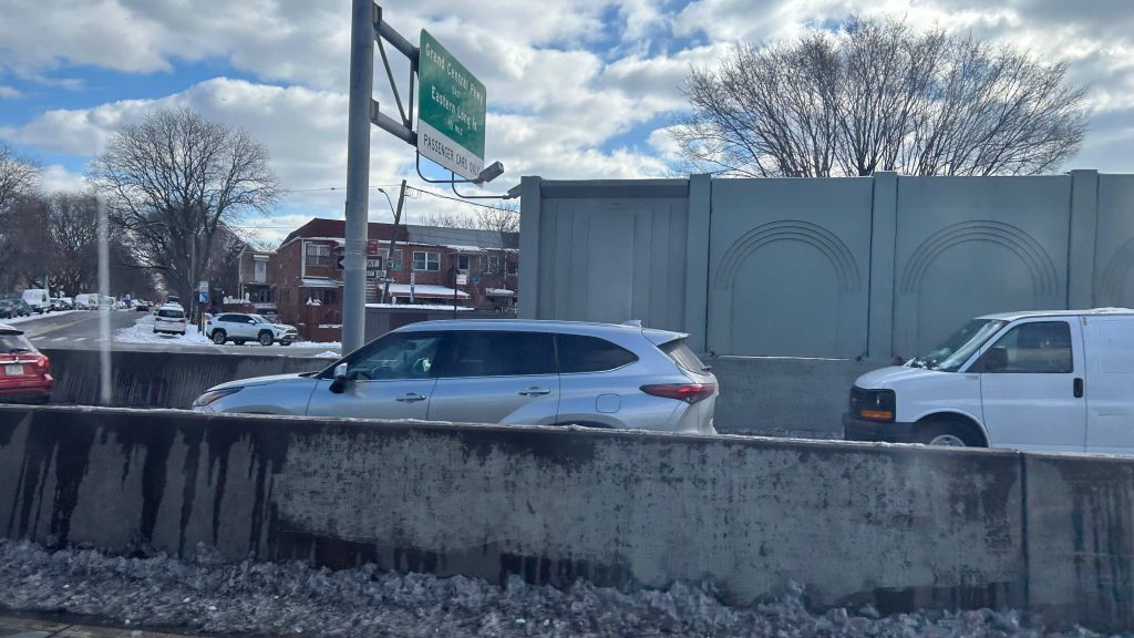
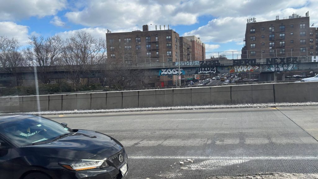
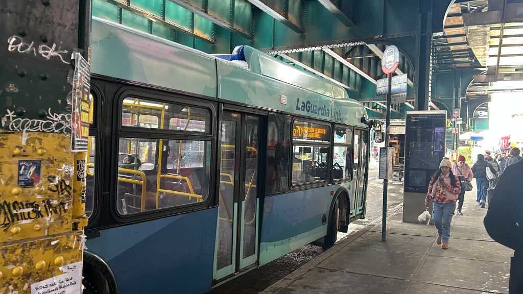
This bus is a fare-free bus route on the MTA’s bus network, and is an important route too. In fact, it’s important enough to be a literal bendy bus hightailing it down the Brooklyn-Queens Expressway at 45 miles an hour. Certainly, not as fast as some RIPTA buses hightailing it down I-95, but for a highway in NYC, it’s not bad given buses move an average of 10 miles an hour seemingly. Nevertheless, there wasn’t much to see as this route is primarily to serve as the missing link between LaGuardia and the subway (or, in this case, the #7 subway line – the M60-SBS runs express to 125th St. and serves the Metro-North station, as well as most subway stations on that street). By extension of this route serving 61st St. station, it also has a connection with the LIRR. Neat! Unfortunately, though, I didn’t get many pictures as I was too busy talking to Rome about various things. However, this isn’t a big deal as there isn’t much to see anyways. Yeah, sorry!
FARE FREE +SELECT BUS BENDY BOY!!!!!LIVE LAUGH LOVE THE BQEANOTHER BENDY BUS!The BQE!More highway shots!And another pictureThe last picture before getting off the highway
Once off the highway, the bus does a loop, stopping at 74th St. Station’s front door, making a couple turns to Woodside Ave., stopping at Woodside and Roosevelt Ave. (to serve the 61st St. subway/LIRR station), and then proceeding back to 74th St. before turning back onto the BQE to return to LaGuardia. Overall, not a bad route!
Yes, this route has its own special wrap!
The good: It’s an important bus route, and arguably one of the single most important routes in all of Queens! It has connections to not just the LIRR, but also the #7 subway line, as well as lines E, F, M, and R at 74th Street. It’s also fare-free! Bus frequency ranges from every handful of minutes on weekdays, to every 10-15 on weekends, and every 20 overnight.
The bad: BUILD THE F*CKING LAGUARDIA AIRTRAIN, PORT AUTHORITY!!! WHY DOES THE MTA HAVE TO PICK UP THE SLACK WITH A BUS CONNECTION THAT’S HEAVILY SUBJECTED TO TRAFFIC?!
EDIT: apparently, it’s come to my attention there WERE plans for a LaGuardia Airtrain. Except, it had one issue: WHY IN THE NAME OF JESUS FUCKING CHRIST DID ANDREW CUOMO PROPOSE SENDING IT TO FREAKIN’ METS-WILLETT POINT INSTEAD OF SENDING IT TO, YA KNOW, WOODSIDE/61ST ST. OR 74TH ST./BROWADWAY/JACKSON HTS./ROOSEVELT AVE.?! FURTHERMORE, THE STUDY THAT WAS TIED TO SUCH A PROPOSAL, ONLY BEGET “LET’S MAKE IT FREE” AS THE ONLY OPTION. AND THAT, IS HOW THE Q70 BECAME FARE-FREE. FUCKIN’ “EQUAL OR BETTER” TYPE OF ENERGY RIGHT THERE! JESUS FUCKING CHRIST! YA KNOW, I STILL STAND BY “BUILD THE AIRTRAIN” EXCEPT, WITH A BIG ASTERISK: MAKE THE PORT AUTHORITY PAY FOR AN N LINE EXTENSION, MAYBE EXTEND THE G LINE TO WHITESTONE AND THROGGS NECK VIA HERE, AND BUILD THE ACTUAL AIRTRAIN – EXCEPT, YA KNOW, BUILD IT TO F*CKING WOODSIDE OR 74TH STREET! Thank you Max, for informing me of the fact the AirTrain proposal was a thing and the backstory behind making this route fare-free. Fuck you, Andy Cuomo!
Nearby points of interest: LaGuardia, Woodside-61st St., and Jackson Heights-74th St. are the big areas here.
Overall, this route is an important one, very important on the bus network, and among the most important in all of Queens. However, BUILD THE F*CKING LAGUARDIA AIRTRAIN!
oh yeah you know what’s up just on the basis of this title. 69th st., is it nice? Rome and I both found out the answer to this question, and it was disappointing. Go ahead everyone, get all the spicier jokes out of your system before continuing.
hehehehehehehe nice
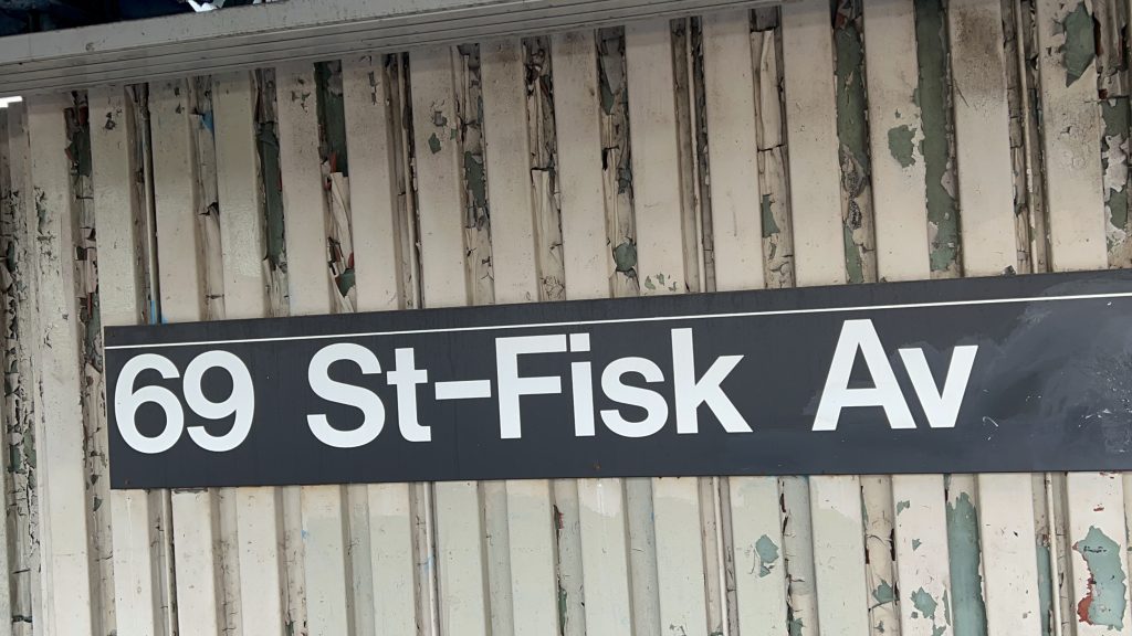
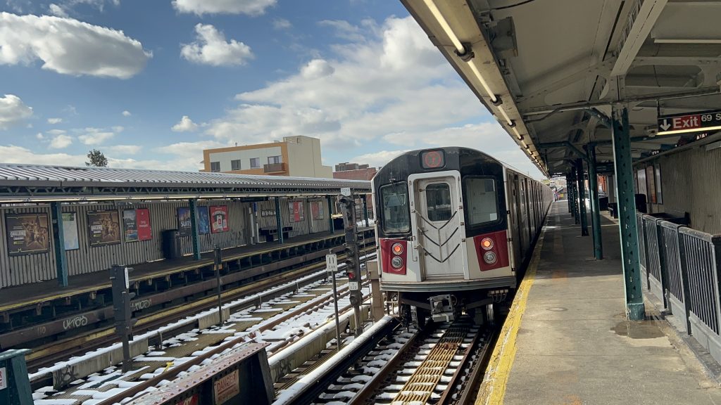
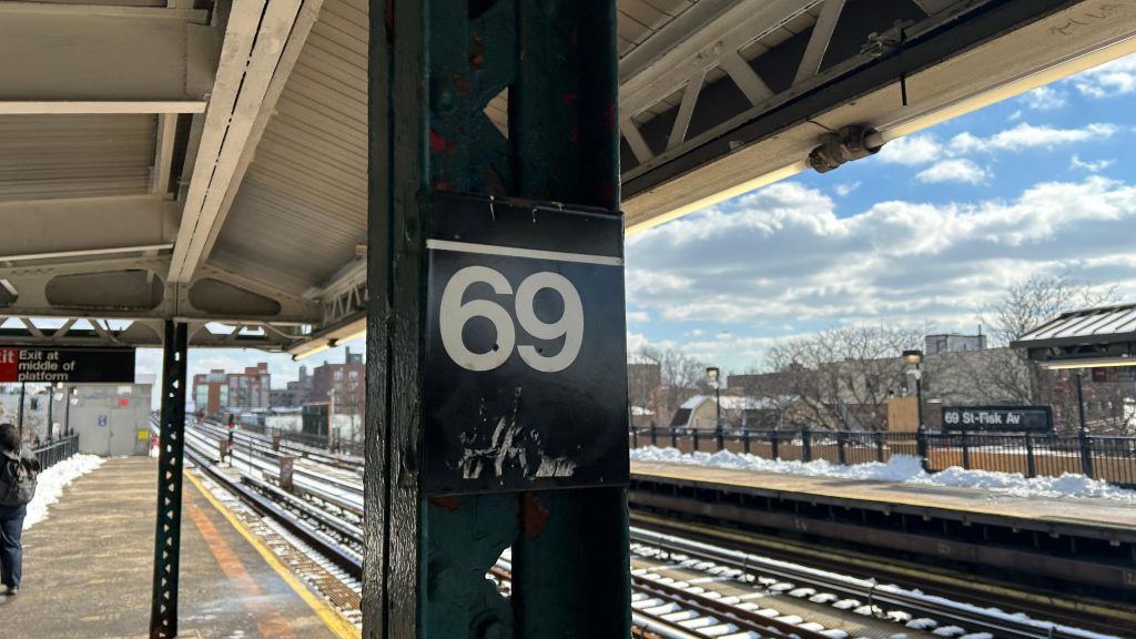
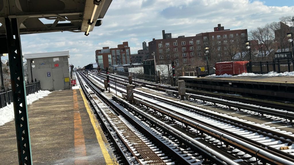
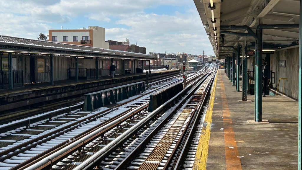
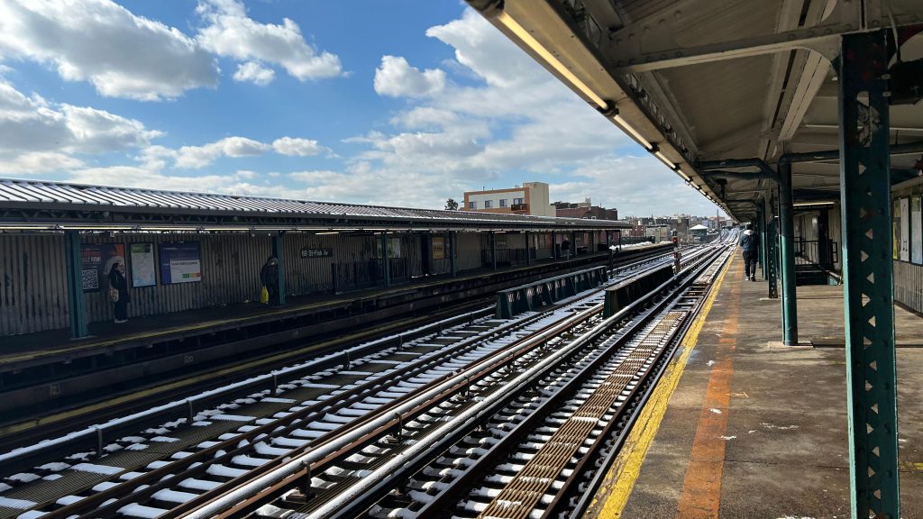
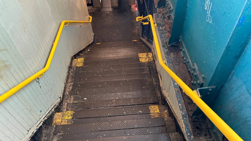
69th St.(-Fisk Ave.) is a local station on the #7 subway line. Located in the heart of Little Manila, in Woodside, it’s a stone’s throw from both Woodside/61st St. and from 74th St./Broadway/Jackson Hts./Roosevelt Ave., of which one has the LIRR and is an express stop, while the other has connections to the E, F, M, and R lines via Queens Boulevard. With that in mind, there isn’t a lot to remark about this station. It’s elevated, in the heart of Little Manila, doesn’t even have a yellow safety strip (yikes!), and it seems like the stairs to the mezzanine are falling apart. But, hey, there’s a Dunks nearby at least! Street level also hosts some bus connections, including the Q32 to midtown Manhattan and the Q47 to LaGuardia’s marine terminal and to a shopping center in Middle Village. The Q70-SBS, however, does not stop here despite passing by. Overall, not the nicest of stations, contrary to what the name suggests. 🙁
Bye!heheheheheheheheheheheheheTowards Flushing!And towards Woodside!Another shot4 minute headways. Not bad.oh this was sketch.The mezzanine
The good: It serves as Little Manila’s primary stop! So, if you like Filipino cuisine or culture, or are involved in it, this might be your stop! The platform and mezzanine has expected amenities too.
The bad: It’s inaccessible, and REALLY inaccessible at that. YIKES. There’s not even a yellow safety strip! Furthermore, I don’t think I’ve seen an OMNY machine here either, but whatever. The stairs were falling apart, for Christ’s sake! That’s REALLY bad. It’s also REALLY close to both Woodside and 74th, both of which ARE accessible. In fact, it’s bad enough this is the least-used station on the entire line! (allegedly Hunterspoint Ave. took this spot, but c’mon, IT’S 69TH STREET!)
Nearby points of interest: This station is in Little Manila! If highways and cars are your thing, the BQE is directly beneath you too.
Transit connections: Flushing Line (Line #7) MTA bus (Q32, Q47)
Overall, I don’t think this is a nice station. Yeah, sorry. Just because haha funny NSFW number, doesn’t mean it’s anything good.
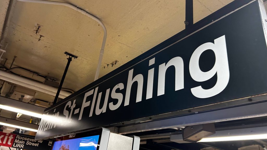
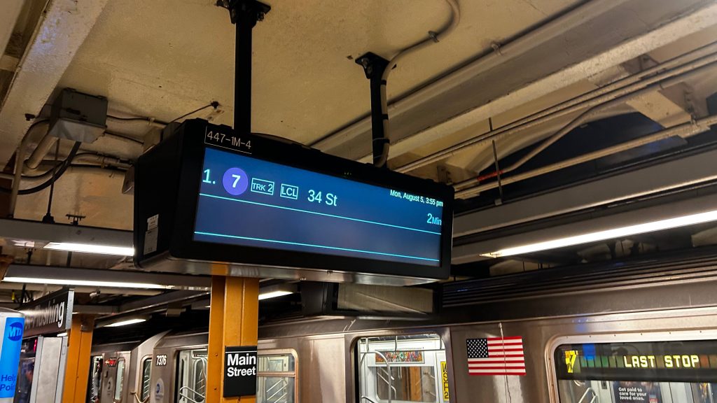
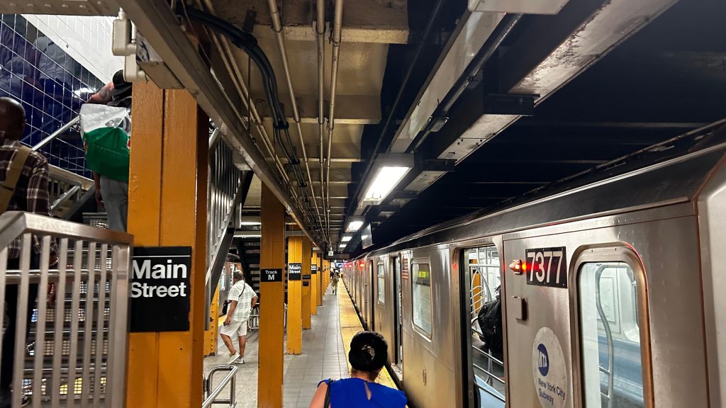
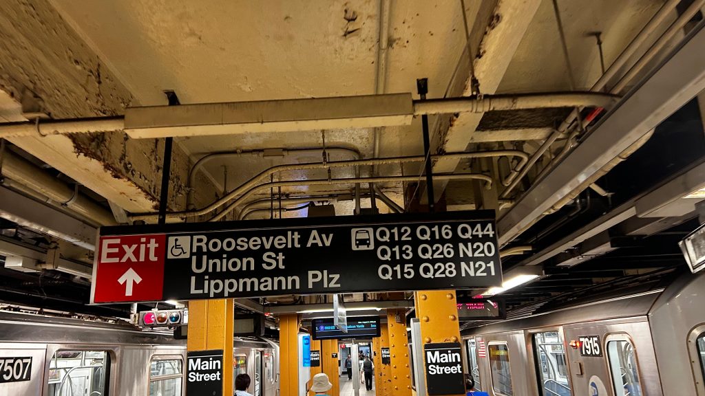
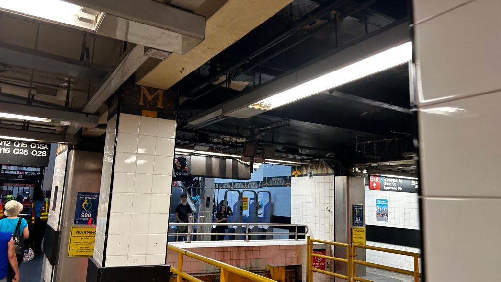
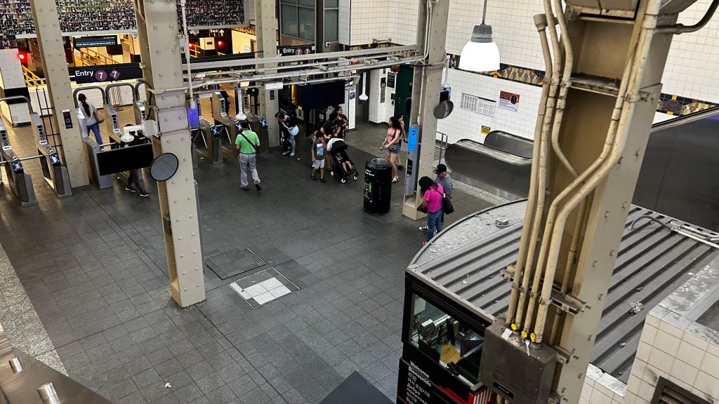
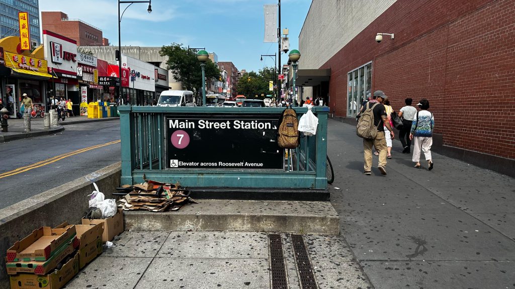
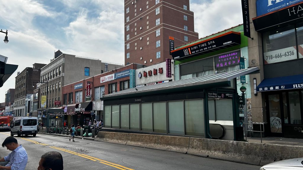
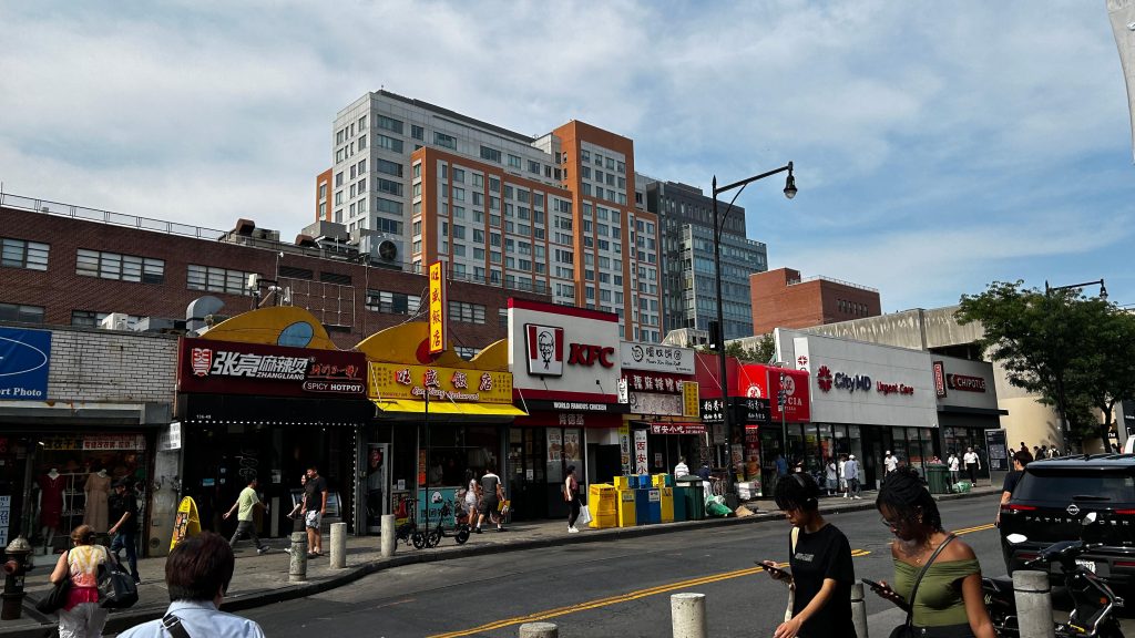
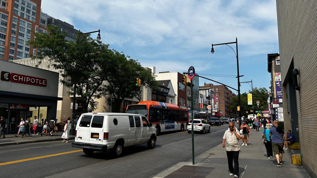
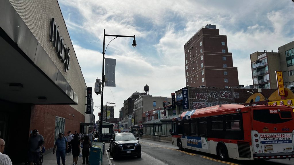
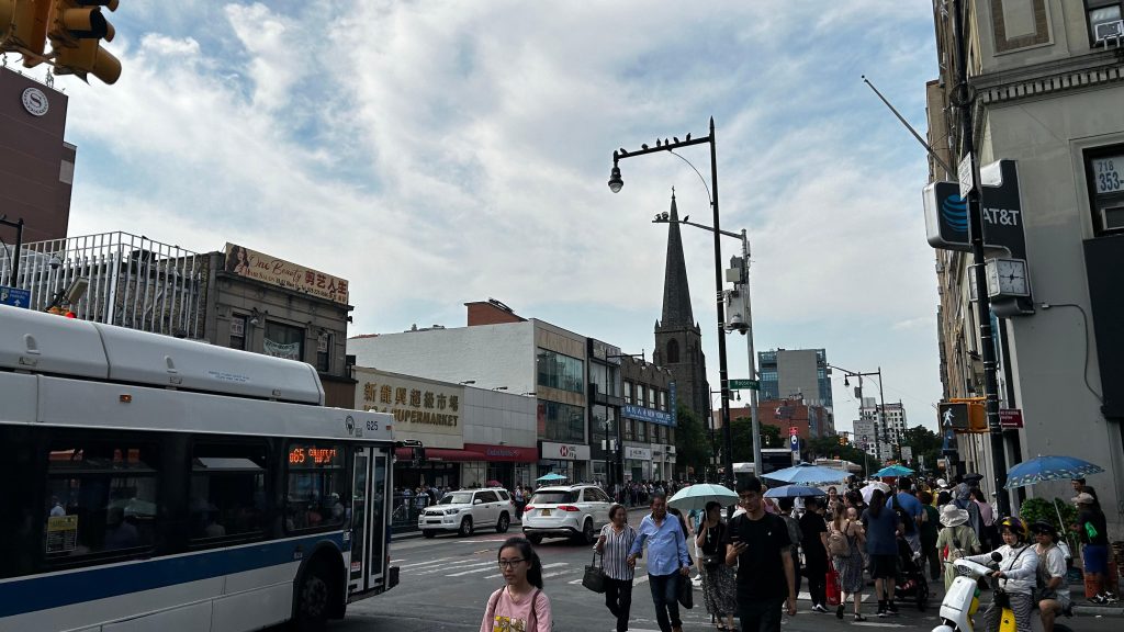
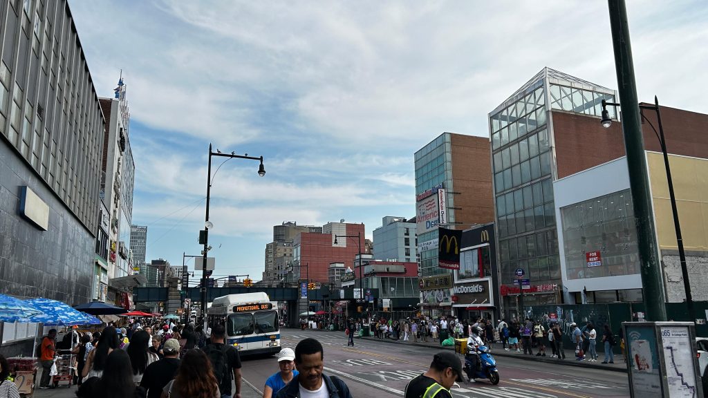
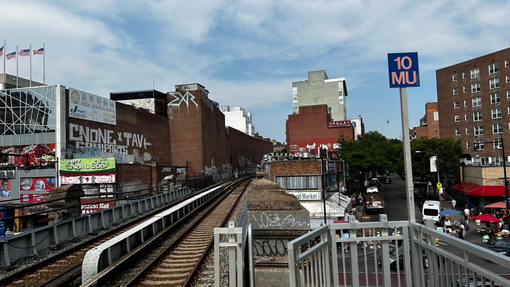
Alrighty, so we made it to the end of line #7, at……north-central Queens? Huh, guess the subway doesn’t go out as far as I’d expect it to. Ah well. Welcome to Flushing, some might say “the better Chinatown”, but regardless, here we go!
Subway signage!
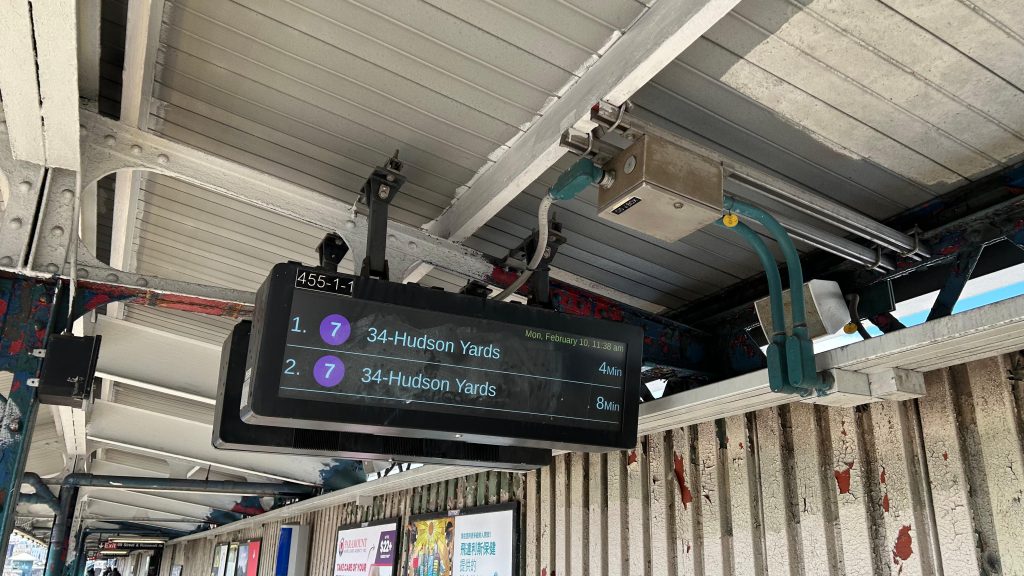
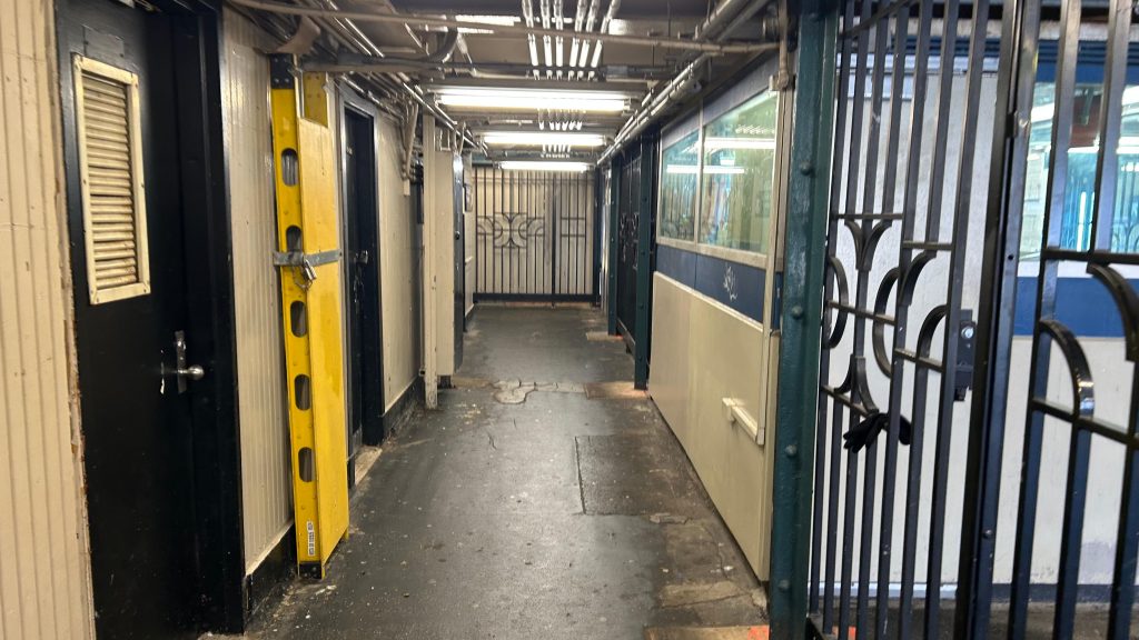
The subway station is mostly standard, however the only major difference aside from the usual benches, wastebaskets, and (working!) countdown clocks, are that there’s THREE tracks rather than two here. Which, essentially, means “Doors will open on either or both side” is a real possibility here. There’s also a relatively nice-looking mezzanine with OMNY machines. Allegedly, a restroom also exists here but I didn’t see one. Unfortunately, though, the way the station is designed inherently prohibits any extensions of the line – as they’d all require the mezzanine to be razed as between the mezzanine and tracks are some big mean mother bumpers. But, there’s at least bus connections to eastern and northern Queens! Yay! But, that’s not all to this station…
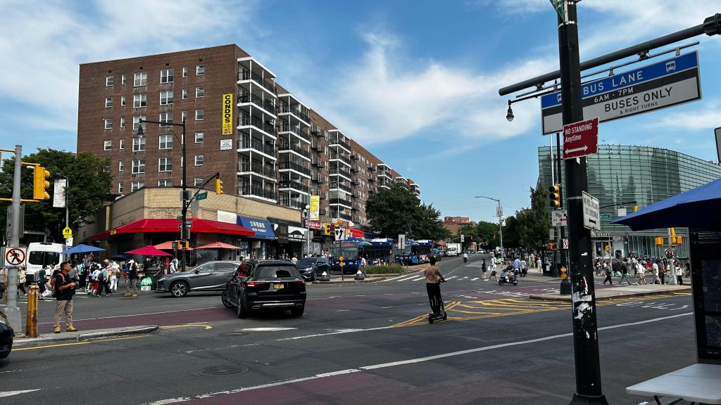
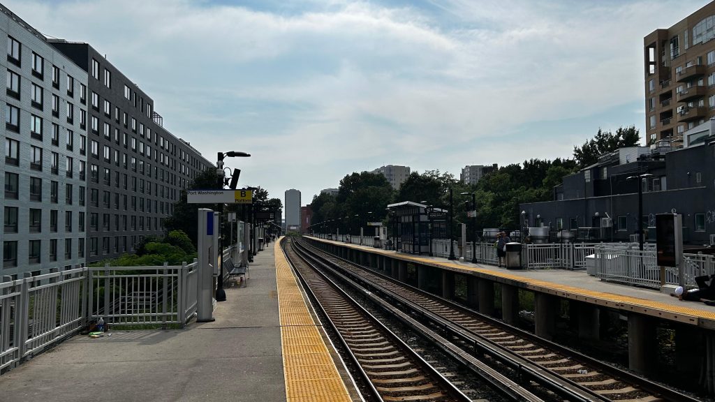
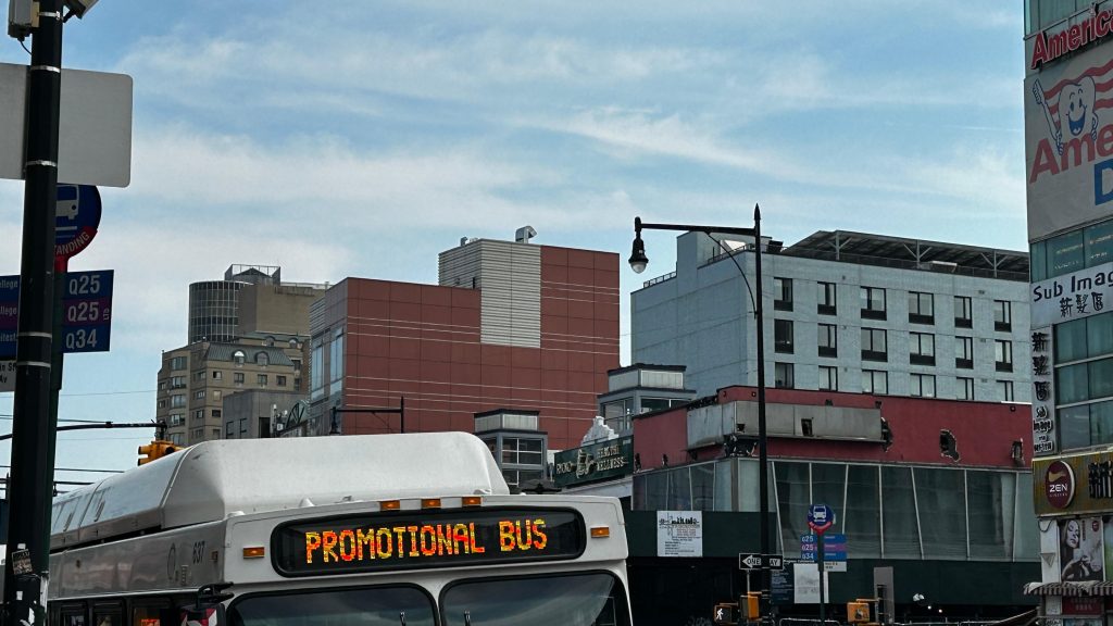
2 minutes?! That’s a fast turnaround!The platformBUS connection. What’s an “N” bus?Faregates!The mezzanine from above!Headhouse!Escalator!FLUSHING!!!!!!!Bus stop!Wait, that’s not an MTA bus…Flushing vibes!This picture is the embodiment of what’s quite possibly my favorite area in NYC based on vibes alone. Also, I spy the LIRR?!
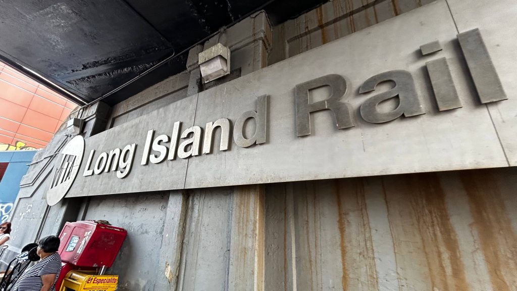
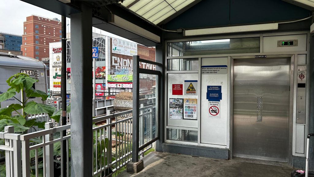
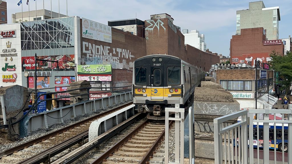
Yes. There’s also an LIRR station here, kinda acting as a super-express of line #7 if you take this towards Grand Central/Penn Station. The station is on an embankment, with elevator for ADA compliance. There’s also ticket machines and shelters, but it really isn’t anything to ring home about. It works well for what it is. Some might say “why would you take it when the subway is there?”, to which I raise the possibility of reverse commuters to Port Washington and Manhasset, and also people who prefer a super-express that stops only at Mets-Willett Point and Woodside before going into Manhattan. Oh yeah, I also almost forgot to note, the departure boards tell you CAR CAPACITY. DAMN, I never seen THAT before on a commuter rail system!
LIRR signage!More Flushing vibesThis elevator failed the piss test.Bye!!!Towards Manhasset and Port Washington!And towards Manhattan!Shelter!
The good: It’s a major destination, has both subway and LIRR access, and is the gateway to eastern Queens and Nassau Co.! The “N”-prefixed routes I raised questions about in a caption? Turns out, those are Nassau Inter-County Express (NICE) buses. Yes, an RTA other than the MTA actually serves this station! DAMN. Furthermore, the Port Washington Line is pretty frequent by commuter rail standards, while line #7 is the most frequent subway line in the system.
The bad: The design prohibits extensions inherently! That’s…..really the only negative I can genuinely think of, aside from the piss-scented elevators at the LIRR station.
Nearby points of interest: Flushing, duh! This is probably the more major Chinatown vs. Manhattan’s Chinatown. There’s also buses to Whitestone, Murray Hill, Bayside, and Nassau Co. from here.
Overall, while the vibes of the station itself are “meh”, if slightly above average, this neighborhood is really vibey, for what it’s worth, and is probably my favorite part of the city. Also, the bus connections are plentiful here.