So, after a quick hop on the L line from Arrott to Frankford, Honaj (& Ranya – go check out her blog!) and I ended up at Frankford’s busway. So, why the hell am I doing a blog entry about a bus that goes all the way out to the city line and almost into Bensalem Township (but doesn’t leave Philly)? Well, I’ll tell you why: much like the 59, it uses trolleybuses instead of normal buses!
…express?!
Wait, what’s this? EXPRESS?! You mean to tell me they put catenary on I-95?!
…no, not quite. While that would be quite funny to see a trolleybus on overhead wires running down I-95 at the legal max speed (55 miles an hour), that isn’t what’s happening here. Allow me to explain.
There’s actually two ways a bus can run “express”, so to say. The first is the obvious answer: use the damn highway. RIPTA does this for a number of routes that run express for at least part of the run. The MBTA does this for routes like the 111, the Silver Line, the 501/504/505, the 354, among others. CTtransit does this mainly with their commuter coach routes (in the 900s), but some (such as the 201) do have limited highway running. And, lastly, the MTA does this with their commuter buses and things like the M60-SBS and Q70-SBS to get in/out of LaGuardia Airport. The other way…….is to just use the inner lanes of traffic. I guess this is more “limited stop” than a true express, if anything. RIPTA’s QX and 24L are the only other examples I can think of, where in parts of it, it’s a local route on paper, but in practice it makes zero stops. The 66 does this for its “express” runs.
Ok, now that that’s out of the way, how the hell do trolleybuses overtake each other then?! That’s literally one of the biggest downsides of trolleybuses, is that they can’t overtake one another. Well, the Philadelphia Transportation Corporation (SEPTA’s predecessor) thought about this and did the “well no shit, Sherlock!” solution: just install a second pair of wires in the same direction each way. And thus, for a section of Frankford Ave., you have 4 sets of catenary: one for each lane. Anyways, let’s check out the route itself!
Onwards!
The route itself is largely relatively unremarkable other than the equipment it uses, being a straight shot down Frankford Avenue to either the Gregg St. loop, or the City Line loop on the Philly/Bensalem Township border. Trips heading towards either bus turnaround have to do a weird maneuver to get out of the Frankford TC’s general vicinity, though. Other than that, all is pretty normal. The road is rather stroady, though, but there’s also some degree of density to be had. In fact, some of the areas even seem rather nice at face value. Hell, the closer you get to Bensalem Township, the more suburban things get. I’m not sure how to make of it, though. But, there IS something cool along this route: Pennypack Creek! One of the oldest bridges in the country – and it has overhead catenary for the trolleybuses. Neat! Moving along, Gregg Street is where some runs will short-turn, while others will continue on to City Line Loop. The rest of the way there, however, is largely unremarkable – and gave off increasingly suburban vibes. NIMBY vibes too? Maybe? The fact a trolleybus even runs out here throws the vibe detector off. Either way, we pass a strip mall with a Dunks, what looks like cookie cutter housing, and enter the City Line loop short of the Bensalem Township boundary. And with that, concludes the 2nd of 3 trolleybus routes. (yeah, sorry, I didn’t ride the 75 on this trip)
A garageThe yardHousing!This street feels rather narrow…Something feels a tad off here…I WALKED TO BURGER KING…More stuffWe have Red Robin at home.More housing over yonderoh my more stuffA side streetAnd another – with signage for US-13HURT AT WORK?treeartwork!LEASING!WOAHOLDEST BRIDGE?!PENNYPACK CREEK!!!OH NO, DOTS!!!A tad more fancyA strip mallD I N E R (as famously seen in the Miles in Transit Philly Diner Video)THE HOLY LANDEXPRESS (diamond 66?)ANOTHER TROLLEYBUSGot the Midas Touch?AND ANOTHER TRAMBUS!!!fieldWelcome to Torresdale, Philly?cookie cutter housing?ugh…Another intersectionTROLLEYBUS RAAAAAAAAAAAAAAA!!!!!!!!!!!!!!!!BUS CONNECTION.
The good: It’s frequent! (every 7-12 minutes during peak hours, every 15 otherwise, and every half-hour overnights!!!!!!!) Furthermore, it serves some somewhat dense areas, goes all the way to almost Bensalem Township, and isn’t even noticeably loud. Furthermore on top of that, did I mention it runs 24/7? Yeah. It also runs “express” service!
The bad: I…..genuinely don’t have much to say that suggests this is bad.
Nearby points of interest: Housing. A diner. If you’re willing to walk a mile or so, Four Seasons Total Landscaping (if ya know, ya know). Some churches and cemetaries. A golf club. Torresdale’s Regional Rail station, and the Frankford TC.
Overall, it’s not that bad. If anything, dare I suggest it’s possibly even a 10/10 route?! Because, truthfully, this has the makings for a 10/10 route.
Ah, golly, a SEPTA bus route review! Well, Honaj dragged me all the way to the Bells Corner bus loop at Castor & Bustleton Avenues, after taking a ride down the Fox Chase Line (entry on Fox Chase Station coming at some point!), going to a Wawa (THE HOLY LAND), and a quick ride to Castor & Rhawn, and we got off and walked the half-mile to the Bells Corner Loop. Wait a second, what the hell?!
AAAAAAAAAAAAAAAAAAAAAAAAAAAAAAAAAAAAA NO NO NO NO NO NO NO NO GOD NO
NO. NO. NO. NO. NO. DAMN YOU, HONAJ!!!!!!!!!!! WHY WOULD YOU LEAD ME RIGHT INTO A TRAP?! NOT THE GODDAMN TROLLEYBUSES!!!!!!!!!
HONAJ: “TROLLEYBUS! TROLLEYBUS! TROLLEYBUS!!!” ME: *stares in horror*
*sighs, blinks twice for help*
Okay, okay, I guess I have to answer the call of duty here with these shit buses. Well, rather than being garbage Neoplans, at least we have….let’s see…..New Flyer E40LFRs. Well, maybe New Flyer actually knew what they were doing. The buses…….were largely dead silent, even moreso than RIPTA’s BEBs (which were already pretty much dead silent to begin with!!!), these suckers REALLY took off when given a chain of green lights and negligible requested stops/boardings (which is not too common seemingly given the REALLY, REALLY TIGHT stop spacing on SEPTA – every single block!), and furthermore it……….actually didn’t crawl like absolute dogshite. But, before I continue, I have to review the route itself.
VS. them trolleybuses (ft. Honaj & co., offcamera)
The 59 originates at the Bells Corner bus loop, at Castor & Bustleton Avenues, and is largely a straight shot down Castor Avenue. Running through northeastern Philadelphia, it goes through the Rhawnhurst and Oxford Circle, before negotiating the rather oversized rotary bisected by U.S. Route 1 (Roosevelt Boulevard locally), and going down Oxford Avenue. Ultimately, the route then terminates rather unceremoniously at the Arrott Transit Center, with the interchange to the L (aka the MFL, Market-Frankford Line, or if you’re weird the Blue Line – this blog will be calling it the L as that’s what SEPTA calls it nowadays). Overall, in terms of scenery, there’s really not a lot exciting going on other than Roosevelt Boulevard. In terms of vibes, though these neighborhoods, I get some Boston vibes, some south Providence vibes, but ultimately I really couldn’t pin anything specific down – Philly is kinda its own thing vibe-wise. In terms of headways, it’s about every 20 minutes for much of the day offpeak, with weekend and night service being half hourly to every 40 minutes (it is not a 24 hour route). Overall, not bad!
I think that’s Ranya boarding the bus?See ya later, Bells Corner!H O U S I N G S T O C KAn elementary school!A Catholic Church!More housingeven moreA Citizens Bank w/ some catenaryDUNKIESSSSSS!!!!!!!!!One nice things about these suckers is you can look out the rear windowTROLLEYBUS VS. ROTARY: WHO WILL WIN?!Some local businessesSEPTAMORE HOUSING!!!AND EVEN MORENear the endEnd of the route w/ Honaj
The good: It serves a rather dense (if not highrise-ridden) neighborhood! The buses themselves, too! (I’ll elaborate soon) The headways are also okay, for weekday service! It’s also got connections to the L via Arrott!
The bad: Weekend headways could be better. The bus loop terminus does seem kinda weird at face value too, but I’ll save rambling on about that for the entry specifically for Bells Corner (whenever that comes out)
Nearby points of interest: Bells Corner has a shopping center nearby, there’s a Wawa, a few schools and churches along the route, a LOT of housing, and a decent amount of local businesses lining both Castor and Oxford Avenues
Overall, not a bad route!!!
Rating: 8/10
Wait, wait, wait just a hot flippin’ moment… did……did I find a GOOD piece of trolleybus equipment?! You mean to tell me it’s NOT utter and complete dogshit, is pretty much silent, and actually isn’t horrifically slow?! And my life was a lie!!! Or, at the least, my life was all in misguided anger?! IT’S NOT SHIT?! IT’S NOT SHIT! IT’S NOOOOOOOOT SHIIIIIIIIIIIIIIIIIT!!!!!!!!!!!! Y’ALL FOOLED THE PUBLIC AND TOLD THEM TROLLEYBUSES COULDN’T BE GOOD AS THE WAY OF THE FUTURE, MR. STEVE POFTAK!!! YOUR LEADERSHIP LED THE FREAKIN’ MBTA DOWN THE WRONG PIPELINE, WHY WOULD YOU REPLACE SOMETHING THAT WAS PERFECTLY FUNCTIONAL AND VERY MUCH NOT GARBAGE WITH SPARKY SPARKY BOOM MACHINES?! WHAT WERE Y’ALL SMOKING?! WHO IN THEIR RIGHT MIND THOUGHT IT WAS A GOOD IDEA TO MISLEAD PUBLIC OPINION AND THE OPINIONS OF EXECS TOWARDS “let’s dismantle them trolleybuses!!!”?! YA KNOW, MAYBE IF YOU NEED AN EXEMPTION TO BUY AMERICA, THAT’S A BAD SIGN, TO PUT IT LIGHTLY! And with that, I am hereby proposing “throw them wires up at Logan Airport, the Seaport, and in the Chelsea busway – and do NOT let Neoplan rise from the dead to do the deed”
I guess…….my disdain for trolleybuses, should’ve been more “fuck Neoplan” in particular and was horrifically misguided. I hereby retract all the ranting about how garbage they were, in the Harvard Square blog entry. Although, I’ll still keep it and not edit it for old time’s sake and in the name of keeping it as a museum piece of a bygone era of the Chelsea’s Corner blog.
A MFL train, but heading towards Upper Darby, rather than to Frankford (next entry…)
*cries in a corner realizing all the hate for trolleybuses since the birth of this blog is actually all misguided and should’ve been directed towards Neoplan instead*
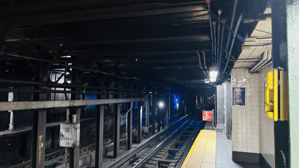
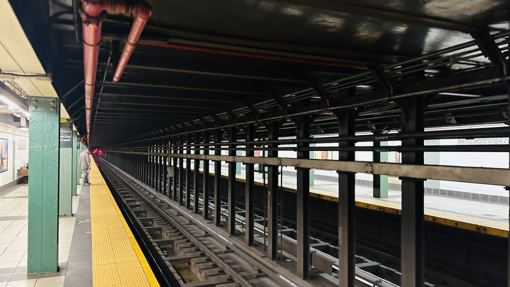
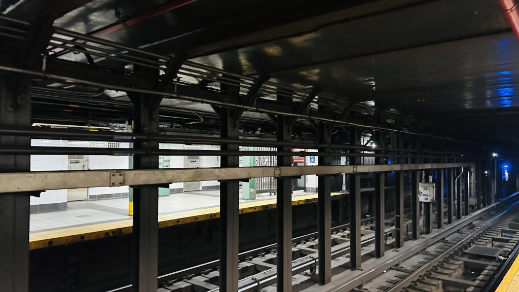
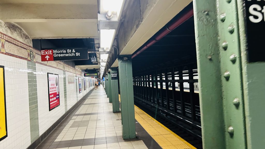
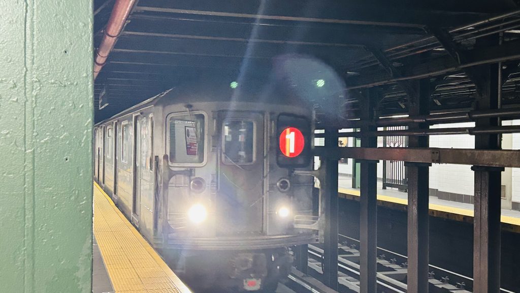
There are two Rector Streets, and don’t worry, we’ll cover both of them on this blog. But, firstly, we’ll cover the #1 line (ex-IRT) station. For a hot minute after Hurricane Sandy, this was the end of the #1 line. Let’s look at this station.
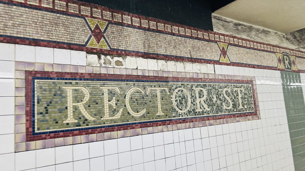
Mosaic!
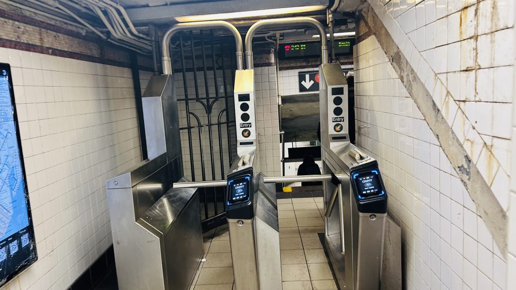
The station consists of two side platforms, no crossover, a REALLY SMALL fare control mezzanine (possibly the world’s smallest?!), and your usual subway station platform amenities. The IRT mosaic work looks pretty nice, if basic. At street level, it’s lower Manhattan so it’s pretty busy. Overall though, it’s not a terrible station, but as far as local-only stations go, I’ve still seen some better.
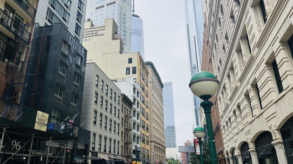
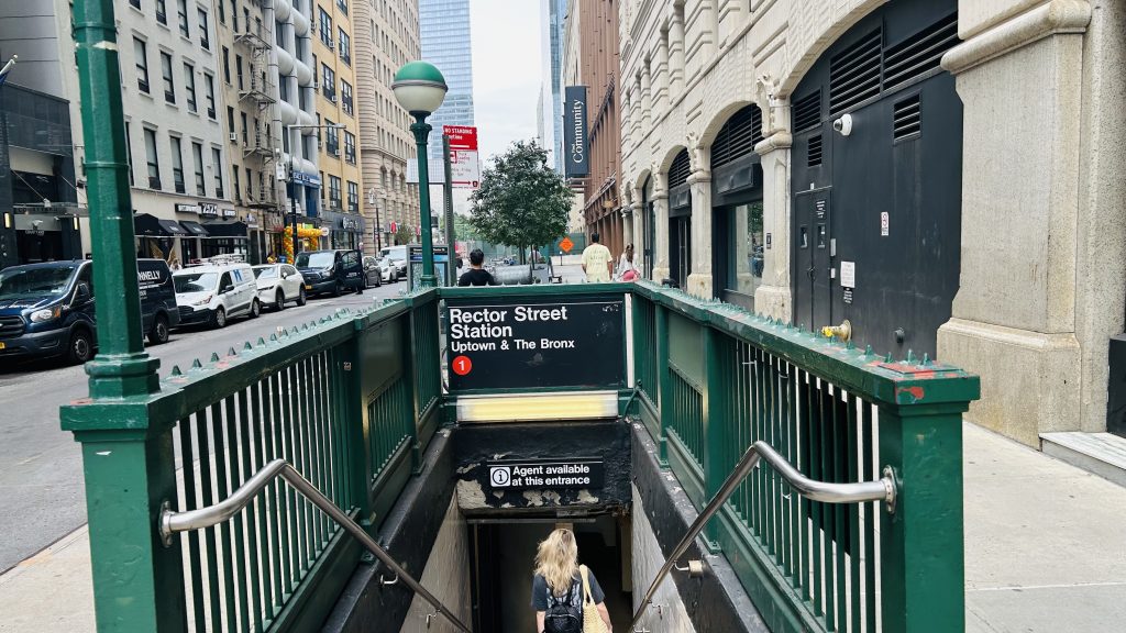
Street levelClassic NYC staircaseTHAT’S IT – THAT’S THE FARE CONTROL!!! JUST TWO TOTAL TURNSTILES!!!Next stop: Courtlandt Street!!!Looking to the other side and towards South FerryAnother look at the other sidePlatform shotNext stop: Courtlandt St.-World Trade Center!
The good: It serves the local area, and is one of the closest stops to Battery Park City (& the western waterfront). It, operationally, can also be used as a terminal in a pinch by redirecting trains into the old South Ferry balloon loop.
The bad: The tiny as hell mezzanine and the fact it isn’t accessible! Also, it’s kinda close to the World Trade Center station complex, but whatever.
Nearby points of interest: Battery Park City and the western waterfront, along with Trinity Church! There’s also some luxury (read: for the REALLY wealthy) housing, some shopping, among other things down here.
Transit connections: 7th Ave. Lines (1) MTA bus (At Trinity Pl/Thames St.: M55, BxM18, QM25, QM65, SIM15) NJT bus (120, at Trinity & Thames)
Overall, it’s a more quiet local station, as far as they go, but it’s still near some cool stuff. It’s just that hot DAMN is that fare control tiny
By some metrics, this station is the least-used station on the entire system. Located in the neighborhood of the same name, Broad Channel is the transfer point between the A line (to Mott Ave.) and the Rockaway Shuttle (to Rockaway Park-Beach 116th St.), and is one of the weirdest neighborhoods in the entire city.
holy headways…
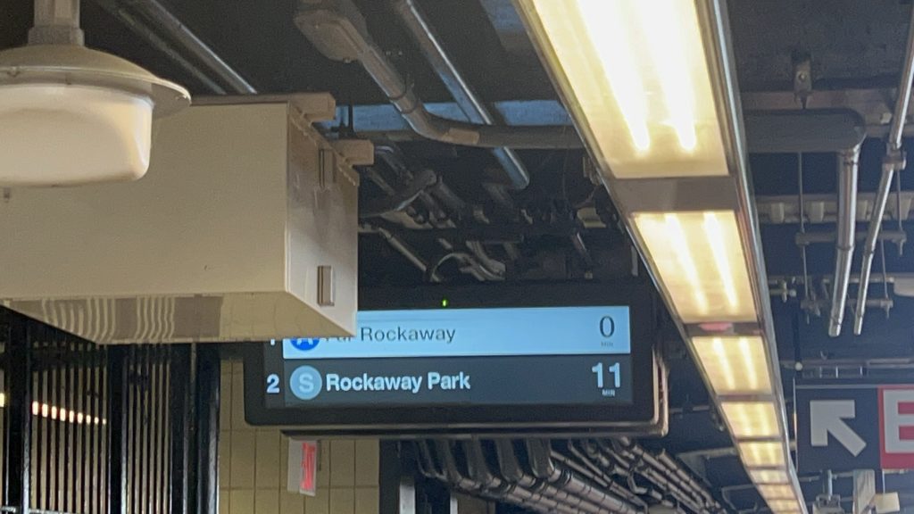
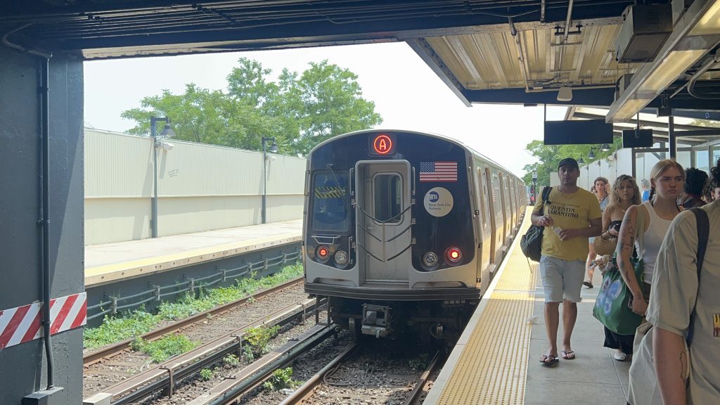
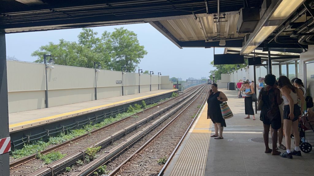
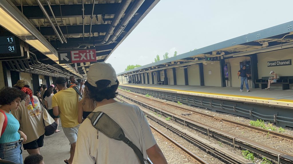
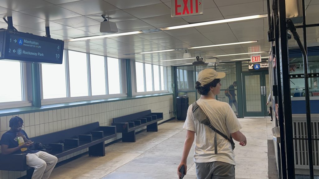
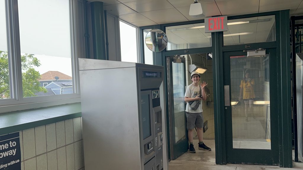
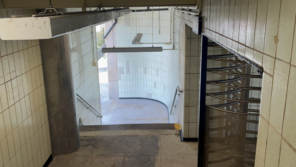
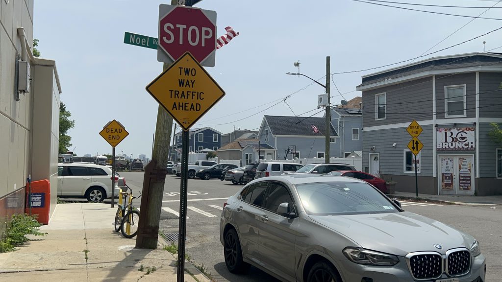
The station, and the entire section of the subway in the Rockaways, is all ex-LIRR territory, and was handed over to the IND in the 1950s as, at the time, the LIRR had a small problem known as “bankruptcy”. Service was killed initially because of a fire on one of the bridges over Jamaica Bay. But, in 1956, the IND restored service to the Rockaways as an extension of what’s now the A line. With the history out of the way, Broad Channel is relatively pretty normal but also unique. The neighborhood is more or less what you’d expect from a summer getaway village rather than in NYC proper. The station isn’t accessible though, as there’s no ramp or elevator from the platforms to the mezzanine, or a step-free way in or out of the station. Also interestingly, despite being a major transfer station, the station’s actually not located on the main road through the area. As for the platforms, it’s standard with benches and countdown clocks. There’s also a station agent (whom yelled at myself and Honaj for filming and photographing), and OMNY machines in the station mezzanine. In terms of vibes, I’d say it’s like if Narragansett densified and got a subway station, but the subway station was wildly out of place. The station itself though? It’s okay.
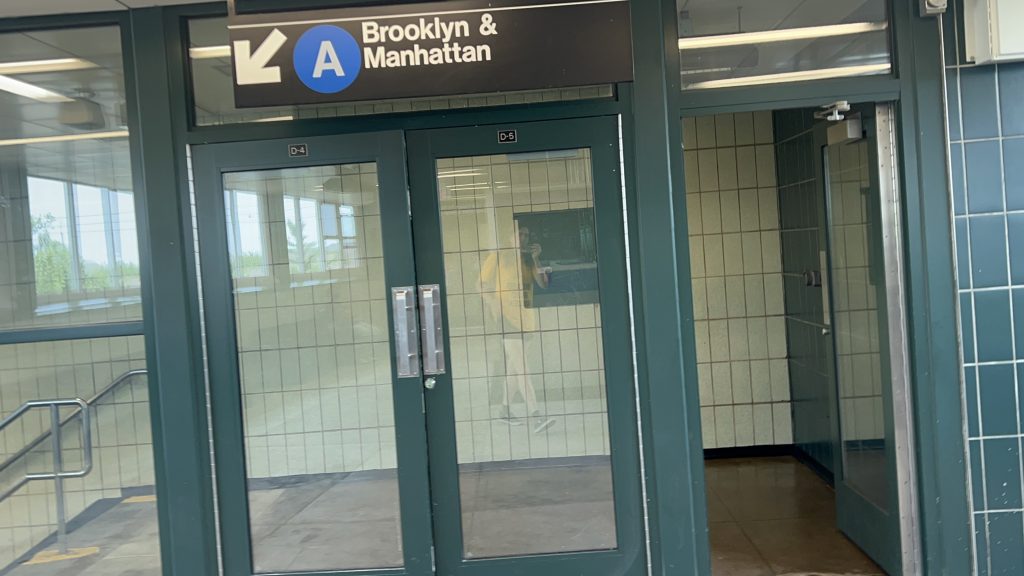
This is a Far Rockaway-Mott Ave.-bound A train. The next stop is Beach 67th St.Towards the Rockaways itselfit’s crowded alrightStairs……and HonajThe mezzanine within fare controlChanging sidesOMNY – at the least used (by entries) station. Also, a reflection of me!Tiles galoreSTREETBroad Channel, the neighborhood!This feels wildly out of placeA brunch place…park & ride?H O U S I N G S T O C KSuburban for sureThe station over yonderAnd zoomed in
The good: It’s the only subway station in this part of Queens – furthermore, it’s the only chance to transfer between the Rockaway Shuttle and the A line.
The bad: Power-tripping station agents aside, it’s not an accessible station. The bus connection to the Q52 and Q53 are a short walk away, but still. And, while not a major issue with the station itself, the headways on the subway out here are BRUTAL. It can also get particularly crowded, especially with summer beachgoers on hot days (where the Rockaways can oftentimes be 15-20 degrees COOLER than Midtown!), so there’s that.
Nearby points of interest: Well, you have a couple of parks and the ocean! There’s also a number of restaurants and the Broad Channel Library as well. Really, most of the things of interest are either parks/beaches on the far ends of the neighborhood, or along Cross Bay Boulevard.
Transit connections: 8th Ave. (A Line) Rockaway Shuttle MTA bus (Q52 & Q53 on Cross Bay Boulevard)
Overall, it’s not a terrible station. Am I salty about being yelled at? Yeah, a little. I’m more surprised it happened here rather than on PATH. But, whatever. The area does give off some modest NIMBY vibes, but even then it’s not a bad station whatsoever.
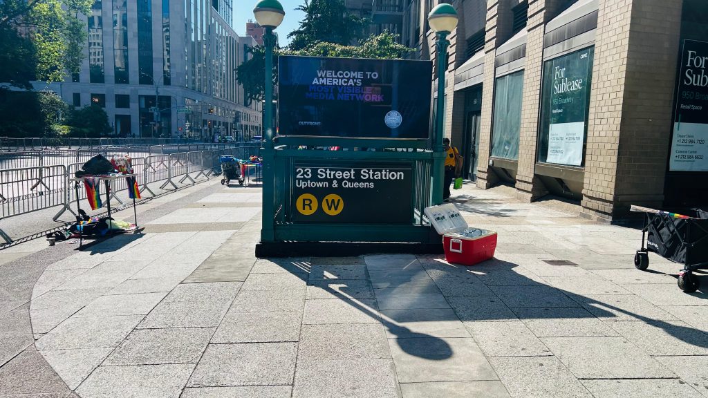
Whelp, we’re back in NYC. And, today’s entry is a rather modest, if boring, station. Welcome to 23rd/Broadway, located in the Flatiron District (hence the title, to differentiate it from other 23rd St.’s).
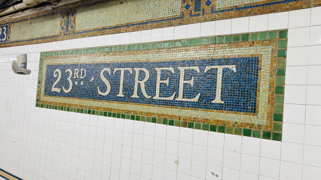
Mosaic in lieu of signage
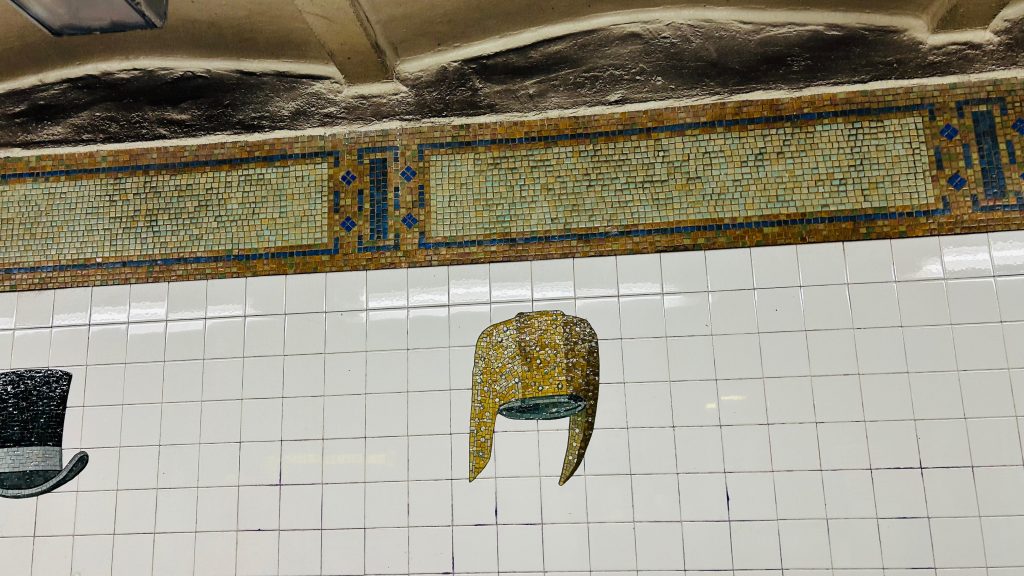
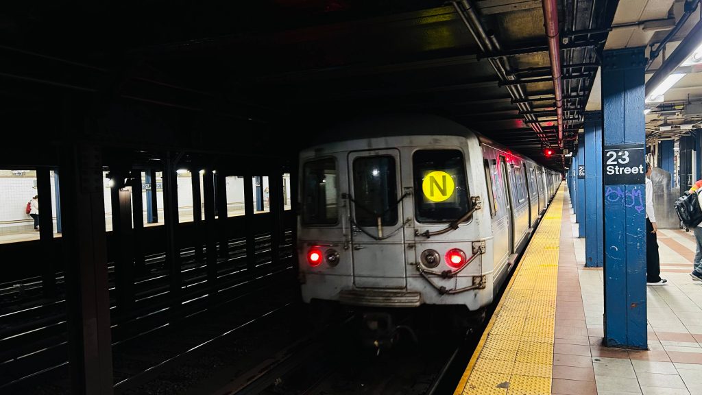
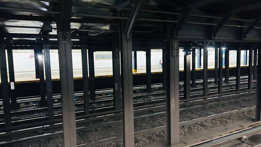
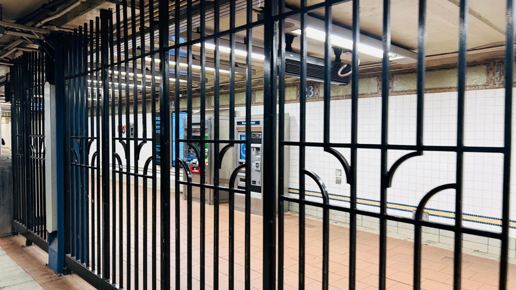
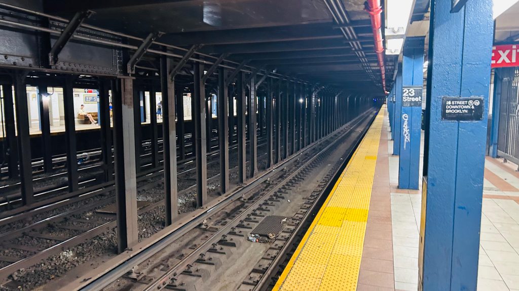
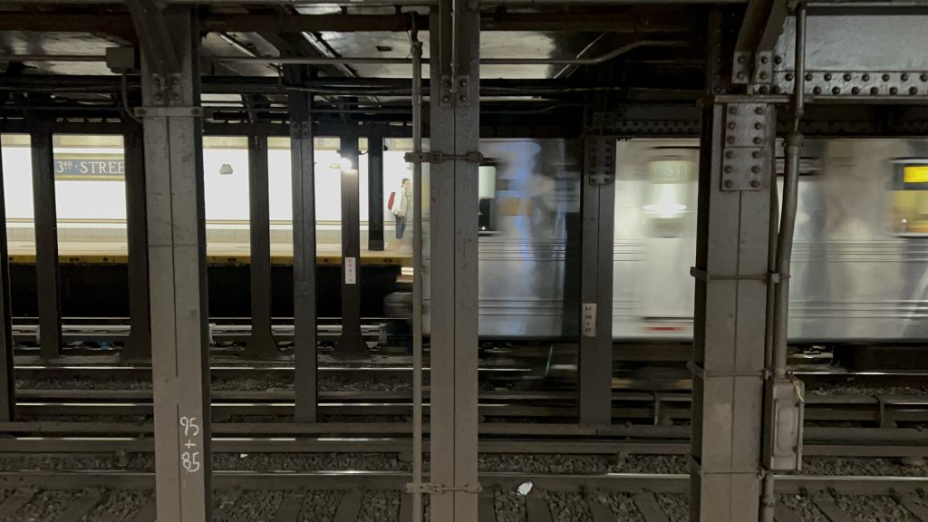
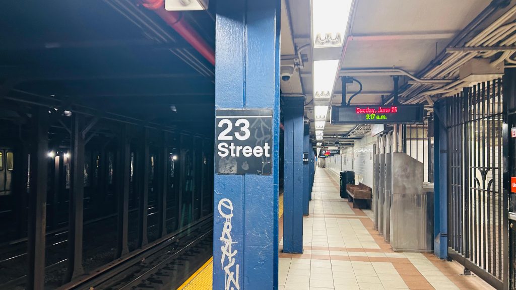
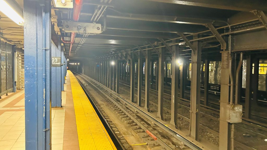
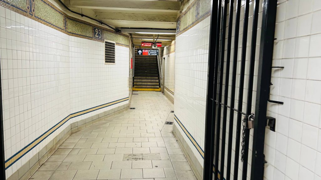
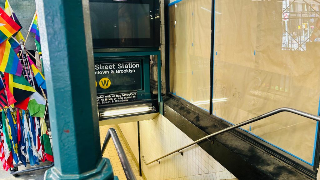
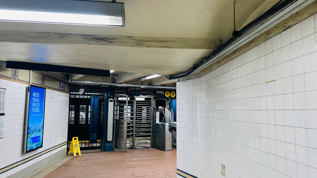
23rd St., or rather this particular one, is located on Broadway at, well, 23rd Street, in Manhattan’s Flatiron District. It’s a local station served by the R and W lines, with the N serving it on weekends in lieu of the W. It’s pretty average, with countdown clocks lining the platform, BMT mosaics, and the usual with vending machines in the station mezzanine. However, there is no free crossover, and it’s not an accessible station (the nearest ones are Union and Herald Squares). There’s also hats depicted on the station walls, which are pretty cool. Overall, though, not a good station, but also nothing offensively bad.
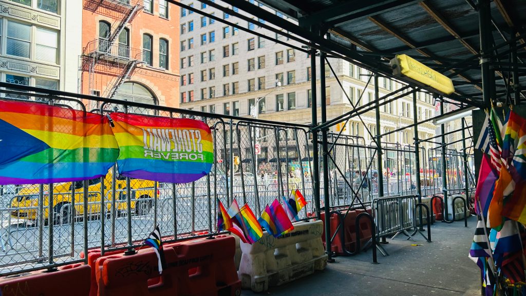
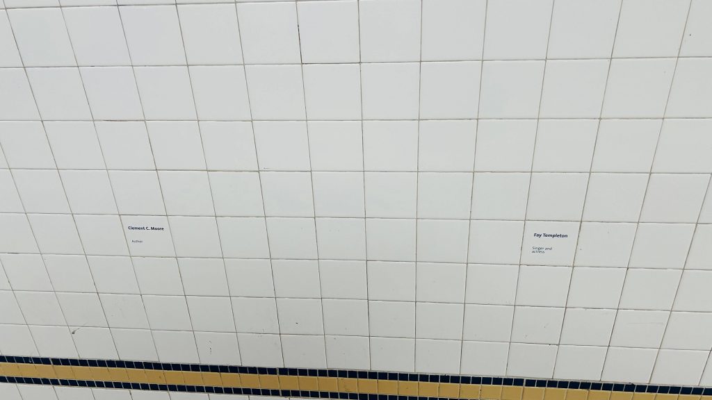
HATS!We stan the venerable SMEEs (until their HVAC die, anyways)The other sideOMNY machine outside fare controlLooking downtown!idk why but there’s just something cool about thisPole signageUptown ft. another NNot very accessible…GOOD MORNING AND HAPPY PRIDE.Classic NYC staircaseThe Flatiron Building!The other side’s headhouseTurnstiles and HEETs!names?
The good: It exists! Furthermore, 23rd St.’s an important road, with a Select Bus connection. It also gets pretty modest to somewhat decent service as well. The art is pretty cool as well!
The bad: Mainly accessibility. If you need an accessible way to this area, just take the M23-SBS or another, non-SBS bus.
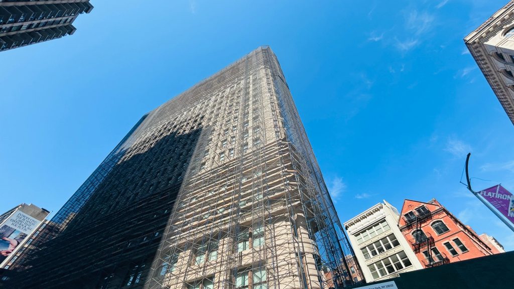
Nearby points of interest: To this station specifically, the Flatiron Building and Madison Square Park are the big ones.
Wait, wait, wait…SEPTA?!?!?!??!? Did we seriously just backwards long jump past the ENTIRITY OF NJT TERRITORY?! Nah, this ain’t Mario 64. And even then, I still have NJT in the (as of writing this, very VERY large) backlog. Without further ado, here’s the first SEPTA Regional Rail(TM), first SEPTA (systemwide), and first blog entry anywhere beyond New York or the far Northeastern US.
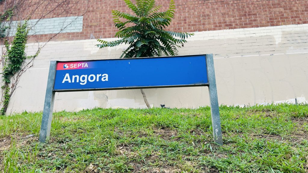
Signage!
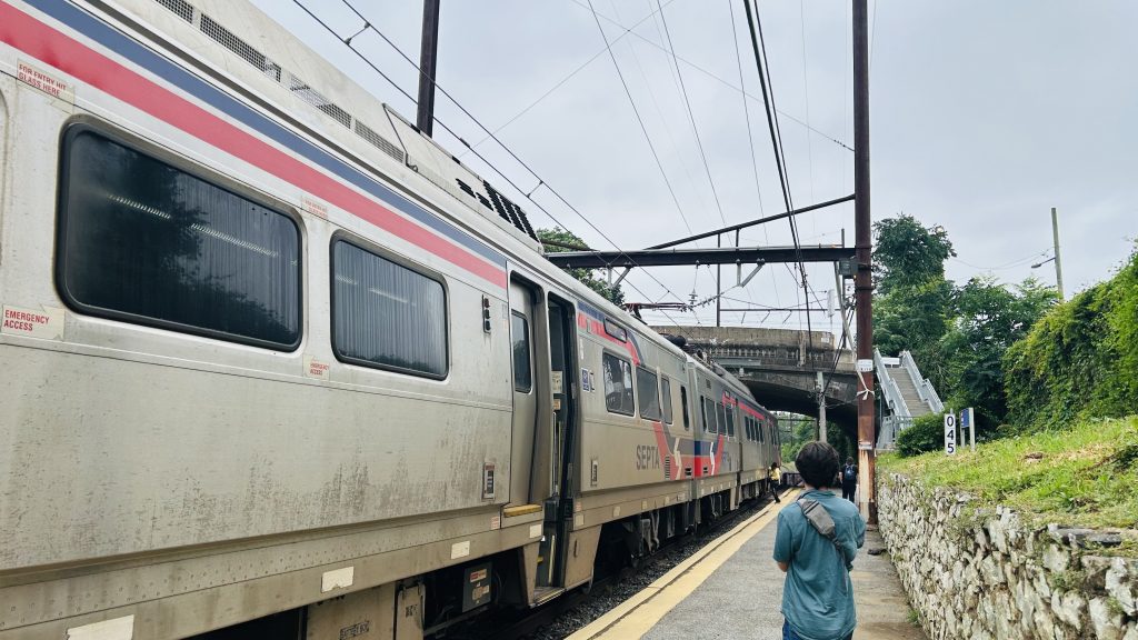
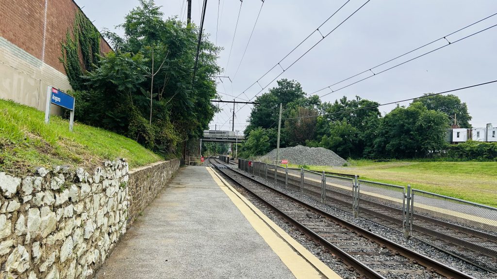
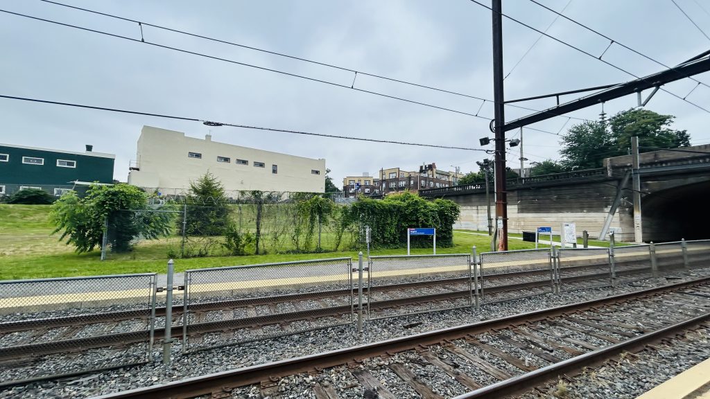
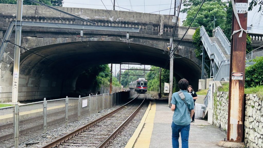
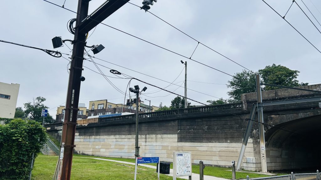
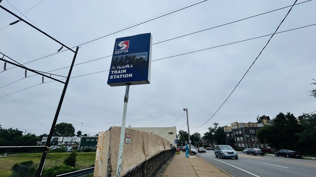
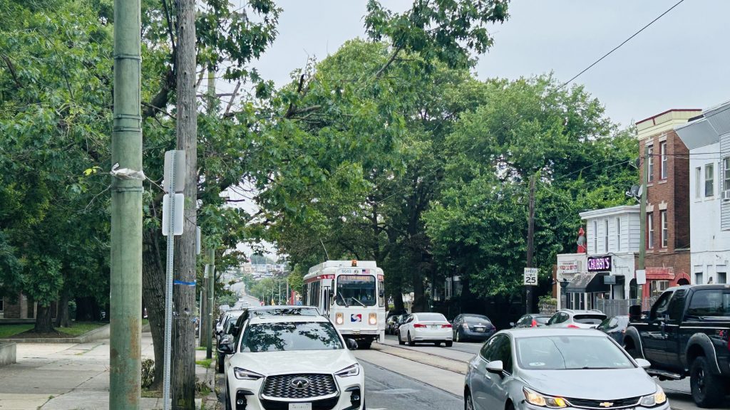
Angora Station is located on the outer fringes of southwestern Philadelphia, on SEPTA’s Media/Wawa commuter rail line, in the namesake neighborhood of Angora. It consists of rather little in the way of amenities (not even seating or a bus shelter?!), and even less in the way of accessibility. In fact, the only thing remotely ADA accessible about this (quite bluntly: shitty!) station is the bus connections, being the 46 between 63rd/Malvern and this station (where it turns!), and the 63 between Overbrook Station and Columbus Commons in South Philly. You might get a transit-accessible pile of rocks, if you’re lucky! As for inaccessible connections, you have the T2 trolley line on Baltimore Ave., of course. And, what amenities DOES this station have? …a Key Card machine. But, it’s not just any ordinary Key Card machine – because unlike, say, the ticketing machines on the LIRR, NJT, or Metro-North, these DON’T EVEN DISPENSE PAPER TICKETS! WAY TO GO, SEPTA!!! But, it’s also SEPTA. Of course they’ll do things in a rather weird and esoteric way. And, I think that’ll become abundantly clear in some coming entries within SEPTA territory… *wink wink, nudge nudge*
hmm i wonder who’s filming the Silverliner V…And looking towards downtown- er, Center City Philadelphia.ABSOLUTELY NOTHING!!!!!!And onwards to Wawa Station with you!An exit and the street – and lighting, I guessGraffitied lollipopThe T2 streetcar line
The good: …it exists, I guess??? You might see a pile of rocks if you’re lucky!
The bad: Why? Just, why? There is no station house or even amenities. It’s like they forgot the station itself. It’s like it’s just a point on a map where Silverliners stop. What kind of illicit substances were they smoking??? Even the Newton trio is better, because even THOSE had amenities.
Nearby points of interest: A number of churches and mosques, a shopping plaza (w/ a Dunks!), and A LOT OF HOUSING.
Transit connections: SEPTA Regional Rail (Media/Wawa) SEPTA bus (46, 63 – both at Baltimore & 58th) SEPTA Metro (T2 – at Baltimore & 58th)
Overall, just…..why??????? What were they smoking? This is easily among the most “what the hell?” stations I’ve ever used. Just use fucking 46/63 (or the T2, if able-bodied) instead, if possible.
Rating: 0.2/10
Stay tuned, as A LOT more SEPTA (& NYC, and even some NJT) content is coming up in the coming weeks and months!
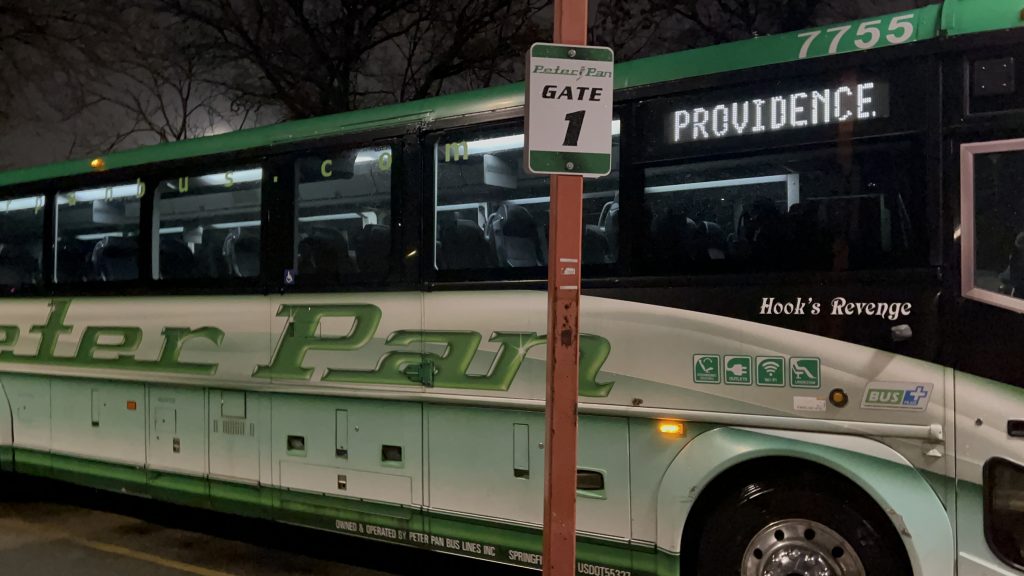
hehehehehehe y’all thought I wasn’t going to cover Peter Pan? Well, here we go. To popular demand, here’s the Peter Pan terminal in Providence.
Oh golly
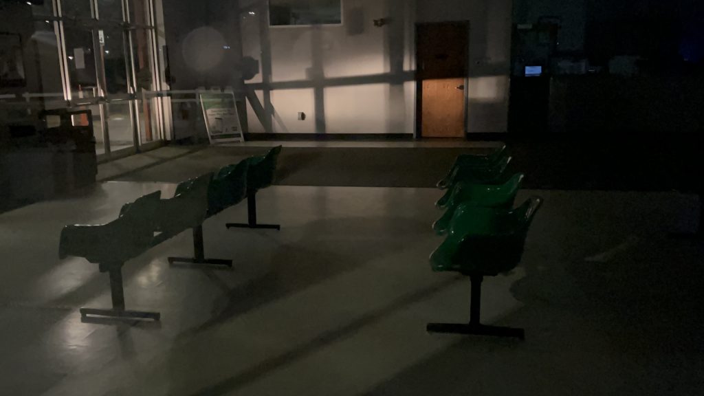
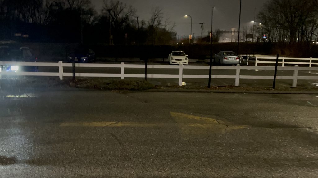
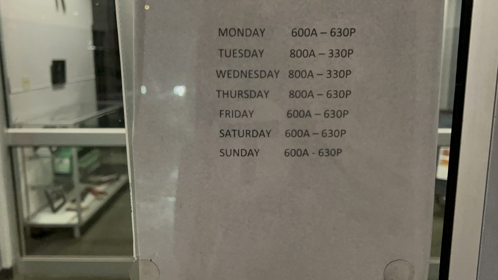
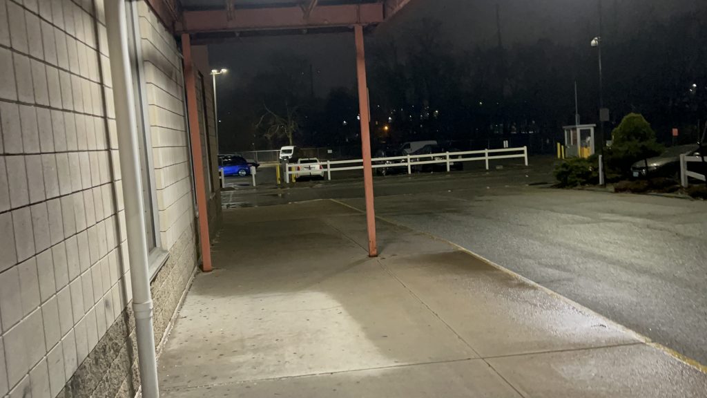
So, the terminal isn’t conducive to anything given this is privately-owned. The place was closed when I was here, but this was the only opportunity for me to review this. There’s a waiting room, bathrooms, a ticketing counter, and the usual stuff. There’s also several bus bays and a decent amount of parking. Overall, it’s okay.
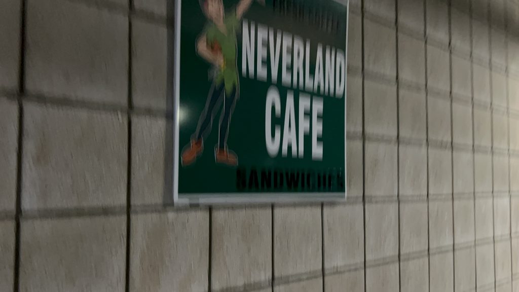
Bus.The barren waiting roomParkingDamn, not even past the last bus’s arrival?Sheltered area and parkingA cafe?
The good: It exists, I guess. It’s Peter Pan’s main base of operation in RI.
The bad: It’s kinda isolated from the rest of RI’s transit network. The walk to the nearest bus stop (an R Line stop) is about 10 minutes – half a mile. It’s also not in the most inviting location, and feels kinda sketchy at night, to be quite honest.
Nearby points of interest: Providence. The R Line is right there.
Transit connections: Peter Pan
Overall, I think I have seen better. The station is kinda sketchy-feeling at night, and while Peter Pan itself isn’t the worst, I’d rather take RIPTA and the Commuter Rail any day if I can help it.
Oh, how far we’ve come…the final entry of the Commuter Rail saga (well, aside from the entries about the lines themselves – but I’ll worry about that post-South Coast Rail…, also aside from the six South Coast Rail entries that will be dropping over the next couple weeks). And, no better way to finish off than what is quite literally the final boss: one of the busiest Commuter Rail stations on the system, at the end of a line that connects the two largest cities in all of New England (yeah, sorry Providence, but you aren’t that far behind circa the 2020 census – only about 15k people difference!). This one, surprisingly, was VERY difficult as well, having taken two attempts. With that in mind, here we go. The end of the MBTA’s Worcester Line, a surprisingly not very busy Amtrak stop (out of 11, the 3rd least-used stop in the entire state as of Amtrak FY’23), Worcester’s Peter Pan and Greyhound stops, …and a bus stop for both the PVTA and MART??? Huh, odd. Needless to say, with all that in mind, here we go!
ATTEMPT #1: SIGNAGEHi from the belly of the beast!
ATTEMPT #1, 2025-03-15: I woke up at the asscrack of dawn, hoping to utilize the 40 minute turnaround period to do this station review. Unfortunately, due to unexpected interlocking work in Westborough area, this didn’t pan out. We held at Southborough as the inbound train was wrong-railing through HALF OF THE LINE, which took a while. Then, we proceeded up once the train cleared, the engineer had to ask for verbal permission for a NORAC Rule 241 (to those not versed in railroading jargon, a Rule 241 is permission to pass an absolute stop). This……took a while, and when all was said and done, we finally got to Union Station. However, I only had 3 minutes to do much of anything. And, since the next train was in 2 hours…I was fucked. Why? Well, I had made plans to ride Brooke’s train and to spend the day with Nat as well, and having to arrive back into Boston at almost 1PM would have derailed this greatly. So, back to the drawing board I go, to attempt again with my entire morning cleared out, as my only other real options for handling this were to either throw away my errands for the 17th (not happening as laundry takes a while) or to wake up at the asscrack of dawn on the 22nd (this was the only other viable option). With that in mind, I’d have to trudge on for another week before I could attempt to tackle this beast again.
The CSX yardMore residential bits of Worcester!The MBTA layover facility!Union Station!Another shot of the stationInterstate 290!Damn you…I spy an overpass…
ATTEMPT #2, 2025-03-22
SIGNAGE: ATTEMPT NUMBER TWO.
So, after my last attempt got botched horrifically due to UNEXPECTED TRACKWORK IN WESTBOROUGH AREA, I had to come back up. And, given the fact the opening of the South Coast extension was imminent, I figured today (2025-03-22) was a good day to dry run waking up at such an ungodly hour (2am!!!!!). With that in mind, I hopped on the first Commuter Rail train of the morning, changed at South Station (rather than Back Bay), and pressed on all the way to Worcester. This time, I not only carved out 2 extra hours in my schedule, but also took my sweet time with this one. It’s the last entry, for crying out loud! So, with a smooth arrival into Worcester Union Station, here goes nothing.
Train. All bilevels!I fucking did it.Looking down the platformThe PA system
The platform was decent – the PA system is pretty beefy despite the fact that: 1. only commuter trains stop here, and 2. only one Amtrak train leaves here each day (the Lake Shore Limited to Albany & Chicago). Benches line the platform, as does even proper countdown clocks ala what you’d see at Back Bay???? DAMN. I went to check out the pedestrian bridge and it was actually decently filled – as there was a departure board up there. Well shit, that’s ACTUALLY pretty helpful! There’s also a provision for a second track (does not exist presently), and I think the plan is to build said second track so more than one train can serve the station at a time. This would be important for the proposed East-West Rail proposal that would connect Boston with Springfield, the Berkshires, and Albany. There’s even a decent amount of surface parking to go around – and you can also see both the Commuter Rail and CSX yards from here as well. Cool!
Schedule and mapOVERPASS!StairsElevatorCommuter Rail yard front and center, CSX to the right!Departure board!I didn’t see any ticketing machines in the overpassBack downAN AMSHACK?!Elevator at street levelSurface parking – probably primarily intended for crew membersLooks a little sad under the Shrewsbury St. exit rampDowntown!
Now, if this was all said and done, I’d easily give this at least a 7 or an 8, by virtue of being a nice and modern, if single-tracked when it should be double-tracked, terminus station. But, there’s more. Union Station is well known for having a grandiose hall and waiting area, with a parking garage, intercity buses, and the WRTA’s main hub as well. The main hall has a couple of food tenants, restrooms, and can even be rented out for events. MART’s Clinton/Worcester shuttle is apparently prescribed to pick up at the front door of the event hall. Further in, you have a departure board INSIDE the station, a Worcester PD substation, a CHARLIECARD MACHINE(?!) – YES, YOU CAN ACTUALLY RELOAD YOUR CHARLIECARDS AND BUY COMMUTER RAIL TICKETS OUT HERE!, and even the main WRTA bus hub is out here. That isn’t too special to ring home about, as it’s got several sheltered berths and benches and the usual. Vs. something like BAT, the WRTA doesn’t have their shit together nor do any of their routes have live tracking with GTFS. At least with BAT, the schedule is padded to Hell and you have The Pulse. No such thing exists here. However, the WRTA DOES have an indoor waiting room. It’s passable! Oh, yeah, the PVTA’s B79 bus to ZooMass (UMASS Amherst) stops at the intersection of Harding and Franklin. Neat!
Woah…One shot wasn’t enough.Nice it acknowledges both intercity buses and Amtrak tooThe main hallThe ceilingA businessA DEPARTURE BOARD?!A TICKETING MACHINE?!Tunnel to the WRTA and intercity busesStreet level!Railroad overpasses galore!That’s something alright.BUS connection – but it doesn’t tell you the B79.the flag of my peopleYEAH BABY THE B79!!!ROUTE B79 SERVICE TO UMASSANOTHER ONE IN THE PARKING GARAGE?!StairsThe shuttered Peter Pan ticketing officeIntercity buses! Amtrak’s Thruway uses this too!Green Street!The WRTA!BUSES!It’s average. Passable.Things have changed…Towards Springfield, Albany, and ChicagoAnd back towards BostonThis train sharted itself on my way back 🙁
The good: A lot! It’s got a gorgeous station house, ticketing machines (nonexistent otherwise!), decent connectivity with intercity and local buses, signage that acknowledges the existence of Amtrak (where’s that at Framingham?!), a modern platform, overpasses with departure boards, departure boards in the main hall, a waiting area for the WRTA that’s open to the public, and is pretty well-located, being in downtown Worcester.
The bad: Signage for the PVTA and MART would be nice! I don’t have anything bad to say otherwise.
Nearby points of interest: Well, given this is in downtown Worcester, a lot, actually! I mean, you have everywhere the WRTA can bring you, ranging from several Walmarts, to where Higgins Armory used to be (RIP), Quinsigamond CC, Clark University, the Blackstone Valley Shopping Center, even out to places like Shrewsbury, the Auburn Mall, Southbridge, and even freakin’ Brookfield. Unfortunately, I can’t comment much as I haven’t ridden the WRTA much. Oh yeah, you can also get to Amherst and Ware via the PVTA’s B79 bus here, and MART runs a commuter shuttle from here to Clinton at peak hours, and express to Leominster and Fitchburg offpeak. As for thing closer to walking distance, you have Polar Park (home to the WooSox), the DCU Center, Femme (lesbian bar – yes, Ben, I will visit at some point), the Miss Worcester and Boulevard Diners, on Southbridge and Shrewsbury Streets, and even SWEATY BETTY’S (kids not allowed).
Overall, I genuinely think this is deserving of the coveted 10/10 rating. I mean, I got nothing against it whatsoever, I can’t even think of anything bad to say about it, and it’s probably the single best station on the MBTA network.
And, with that, that concludes “Chelsea Visits Every MBTA Rail Station”, I guess. I mean, I have the CapeFLYER, a few Amtrak stops, and a CTrail station in the Commonwealth. I still have the entirity of Metro-North and the LIRR, NJT, the MTA subway, PATH, SEPTA, Maryland MTA & MARC, and even WMATA and VRE. As for the future of this blog, I’ll probably mainly slowly hack away at buses, the likes of other Amtrak and commuter train stations, and possibly even do a cross-country adventure or two. I mean, as of writing this, the opening of South Coast Rail is imminent so that still remains otherwise, for the MBTA. And, I’d also like to give a shoutout to everyone that’s come along, including people that went through the trouble of going through these stations with me. Thank you all for joining along for the ride, and stay tuned because….
NEW BEDFORD IS NEXT.
Rating: 10/10
FEMME!POLAH PAHK!long live the PawSox…I get the feeling that all the new development is because of the WooSox…That’s a massive overpassD I N E RThe ex-NY Central’s line to Boston…OH-OH GOD IT’S SWEATY BETTY’SSomething about this feels very imposing…MISS WUHSTUH!This feels REALLY imposingThat’s a lot of freight…HERE COMES A GEVO (i think it’s a GEVO?)Downtown!
Natick Center is currently undergoing reconstruction, so this really is only a station review of the temporary low-level platform. As such, I will almost certainly have to revisit this station once the much-delayed construction is finished. With that in mind, here’s Natick Center!
Station signage!
Located in the MetroWest region, Natick Center is, as the name suggests, located in downtown Natick. The station presently consists of two low-level platforms, stairs AND a ramp down, a bench, a wastebasket, lighting, and a wholeass construction site. There’s also a bus connection on Main Street to various MWRTA bus routes. Land use around the station, being in downtown Natick, is pretty good! Oh yeah, there’s even a D I N E R (I think featured in the Miles in Transit Boston-area Diner Video?) in walking distance, which is sick. I actually should come visit it and get food some time. Moving right along, that’s unfortunately about it for the area. There isn’t even any info displays that tell you if a train is boarding on the other track, which may or may not have led to everyone making a mad dash to the #1 track…
Hot damn!Bye!!! (as she pollutes the entire area)Bench!Platform shot towards Boston!The other platform!The bigass ramps under constructionAnd the stairs up. They’re kinda rusting a little…Don’t fuck with OSHA!This website does not support Donald Trump. Fuck Trump and Fuck Musk.More proper signage!Natick!Footbridge!Thank you, Mayor Pete!MWRTA MENTIONED!The Natick Common…
The good: It’s located in downtown Natick, which is always nice! Furthermore, it’s becoming accessible! And the MWRTA serves it!
The bad: The temporary station is barren! The rebuild’s been delayed many a times, AND there’s not even passenger info displays! This may have led to a mad dash from one platform to the other…yeah……
Nearby points of interest: Downtown Natick and the D I N E R!
Southborough, despite the name, is barely in Southborough itself, If anything, much like Grafton being on the Shrewsbury line, Southborough is on the Hopkinton town line. Nevertheless, here’s Southborough Station.
Station signage!
Southborough is your standard Worcester Line infill station built in the early ’00s. There actually used to be a station within a mile of here to serve the Southville area of Southborough, however these days it’s somebody’s house, so obviously they couldn’t do that. However, the current Cordaville station site isn’t that bad. Unlike Westborough, the tracks don’t run through downtown, so I can’t use that against this. There’s a decently-sized parking lot, a mini-high, nonfunctioning yellow dot matrix signage (oops!), the usual amenities on the mini-high, and rather an overpass, there’s an underpass to change sides at the intersection of River St. and Southville Rd. As for land use, it’s rather suburban in nature, though once you cross into Hopkinton (which is VERY EASY on foot), you’re basically in a state park. Neat! As for buses, apparently the MWRTA stops here at peak hours on the way between Boston Scientific and the Blandin ITC. However, I didn’t see any traces of a bus stop anywhere. Overall, though, not bad! Funnily enough, this is, by way of microtransit, also the transfer point between the WRTA and MWRTA.
Bye!!!Unpaved parking!Convenience store!Keolis was enforcing parking hereLow level shelter!Hopkinton be over yonder!Signage!RampWas there a bench here?11ft8’s twin?River!SEE? HOPKINTON! IT’S THAT EASY!Mini-high shot and towards Worcester!GET ME OUTTA HERE!!!
The good: There’s a mini-high! There’s some stuff around here (unlike Westborough!). Furthermore, there’s parking for those that need it. I was here midday on a Monday and it look like it was being decently used. It’s also got the usual you’d expect from a Commuter Rail station.
The bad: It’s a mini-high. Bleh. Also, it still feels desolate. And no way to change sides closer to the mini-high???
Nearby points of interest: Pizzaville restaurant is nearby, as is the Hopkinton State Park. Not a lot, otherwise.